Canal Ring: The City That Planned Its Water
100 min · 3.8 km · easy
Amsterdam is a city built on a dam and then on a plan. Around the year twelve seventy, people threw a barrier across the little Amstel river, and the fishing hamlet that grew on that dam became a world port. Then, in the early sixteen hundreds, the city dug three great canals in a half-moon around its medieval core and turned a river-mouth swamp into the best-organized trading city of its age. What most visitors read as timeless charm is actually the output of decisions about width taxes, plot sales, drainage, and who got to live where. And just outside the elegant ring, in the same decade, the city packed a dense grid of narrow streets for everyone the Golden Age left out. Amsterdam is three stories stacked on the same soft ground: the dam that named it, the plan that engineered it, and the working quarter that carried it.
The dam came first
Before the canals, before the money, there was the barrier across the water. The name says it plainly: Amstel plus dam. The earliest written record of Amsterdam is a road-toll privilege of the year twelve seventy-five, granted by Count Floris the Fifth of Holland to the people described as apud Amestelledamme, at the dam in the Amstel. That dam separated the salty water of the IJ from the inland river, giving the settlement control over shipping at a natural choke point. As the town prospered, the dam was widened and paved until it stopped being water infrastructure and simply became the square, still called the Dam today.
The medieval city is still legible if you know where to look. The Dam that became a city walk reads it directly. The Oude Kerk, the Old Church, is described as the oldest building in Amsterdam, its stone church consecrated around thirteen oh six, and it served a parish of sailors right where the sea trade first landed. The Waag on the Nieuwmarkt began as the Sint Antoniespoort, a fifteenth-century city gate with a gable stone dated fourteen eighty-eight, then was converted to a weigh house in sixteen seventeen once the city outgrew its walls. Rembrandt set The Anatomy Lesson of Dr Nicolaes Tulp there in sixteen thirty-two. That same Nicolaes Tulp, as mayor, helped commission the old town hall on Dam Square, the enormous classical building that became the Royal Palace under Louis Bonaparte in eighteen oh eight. Its foundation rests on thirteen thousand six hundred fifty-nine wooden piles driven into the marsh. A whole forest sunk into the mud so the stone would not sink after it.
The plan turned water into a spreadsheet
Hear a stop from this walk
Reguliersgracht and the seven-bridges view
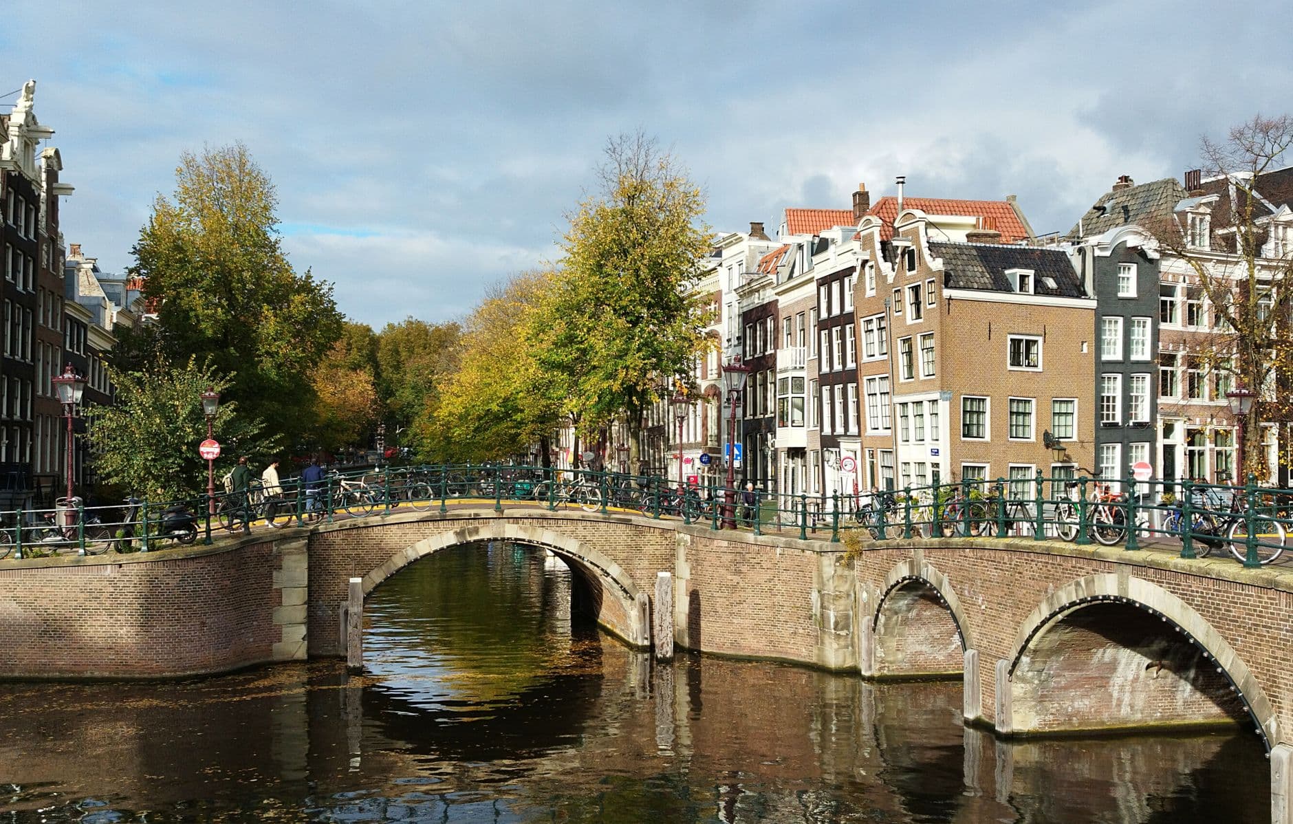
The canal ring was not a river town growing over centuries. It was a single deliberate act. The word Grachtengordel means canal belt, and the plan was to dig three concentric canals, line them with standardized merchant plots, and sell engineered land at civic scale. The city that planned its water reads that belt as speculative real estate: the beauty is a byproduct of accountancy and ambition.
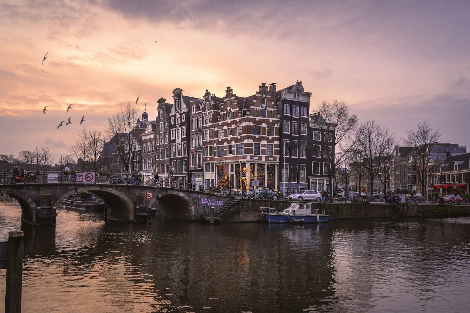
You can see the accountancy in the buildings. Owners were taxed partly by the width of their frontage on the canal, so to save money they built narrow and went up, some houses only about two to three metres wide. The beam jutting from many rooftops, the hijsbalk, hoisted cargo up the outside because the interior staircases were too steep for goods. The forward tilt of the facades is partly deliberate, to keep hoisted loads off the wall, and partly the slow settling of timber piles into soft ground. The plan even shaped the shape of the house.
The payoff was the Golden Bend, the Gouden Bocht, the grandest stretch of the Herengracht. After the city's fortifications expanded in sixteen sixty-three, larger plots opened in the southern extension, and wealthy buyers were encouraged to combine lots into double-wide mansions. UNESCO inscribed the canal ring as World Heritage in the year twenty ten and credits it to a comprehensive city plan, not to any single master architect. The tour is honest about the source of the money: much of the Golden Age wealth that raised these houses flowed from the trade of the Dutch East India Company and from the Atlantic slave economy. The serene beauty and the colonial commerce sit together, and the walk asks you to hold both at once.
The plan also has a working texture. The Nine Streets, De Negen Straatjes, are a grid of short lanes crossing all three canals, laid out for tradespeople in the first half of the seventeenth century. Their names still record the leather and hide crafts once worked there: Berenstraat and Wolvenstraat, bear and wolf. More than one hundred forty listed historic monuments sit packed into a few blocks, though the catchy Nine Streets nickname only comes from a marketing association formed in nineteen ninety-six.
The quarter carried the weight
That merchant wealth needed a workforce, and the workforce needed somewhere to live. Just outside the ring, laid out from the year sixteen twelve, the city drew a dense grid of narrow streets for labourers, immigrants, tanners, and dyers. That quarter is the Jordaan, and for three centuries it was poor, crowded, and fiercely its own. The quarter built for the poor reads the shadow half of the same plan: same city, opposite fortunes.
The two-tier city is written in stone. The architect Hendrick de Keyser designed the grand Westerkerk on the Prinsengracht, whose tower rises about eighty-seven metres and is described as the tallest church tower in Amsterdam. The same architect designed the plain Noorderkerk in the Jordaan, built between sixteen twenty and sixteen twenty-three on a Greek-cross plan so that every worshipper, wherever seated, could hear the preacher. Same faith, same decade, congregations sorted by wealth. Charity here was built to be invisible: hofjes like the Karthuizerhof, founded in sixteen fifty with one hundred four small dwellings for widows, hide behind plain street doors that open onto quiet garden courts.
The quarter's toughness was not a legend. On the Lindengracht, then open water, the Eel Riot of July eighteen eighty-six ended with about twenty-six people killed when the army fired into the streets over a banned game of eel-pulling. And the quarter learned to sing about itself: Johnny Jordaanplein honours the Jordaanlied, the sentimental accordion street-song whose signature hit, Geef mij maar Amsterdam, dates to nineteen fifty-five. In those songs the tower of the Westerkerk, visible from the crowded streets, becomes the neighbourhood's anthem. The Elandsgracht closes the arc: named for the elk hides once tanned there, a slum for centuries, threatened with demolition, then transformed from the nineteen sixties into one of the most expensive districts in the country, softened by heavy social housing built from nineteen seventy-eight.
One city, read three ways
The dam, the plan, and the quarter are not separate Amsterdams. They are one engineered city on wooden piles, told from three angles. Start at Amsterdam walking tours and you can walk the medieval core where the sea trade came ashore, the canal ring where accountancy turned into palaces, and the Jordaan where the other half of the Golden Age lived. The beauty was never the goal. It was the dividend of a plan, and the plan needed both the merchants and everyone else.
Sources
- Anne Frank House, official museum history of Prinsengracht two hundred sixty-three and the Secret Annex.
- UNESCO World Heritage Centre, inscription of the Seventeenth-Century Canal Ring Area of Amsterdam inside the Singelgracht (year twenty ten).
- Royal Palace Amsterdam (Koninklijk Paleis), history of the former Stadhuis and its pile foundation.
- Amsterdam City Archives and municipal heritage bureau (Monumenten en Archeologie) records on the Oude Kerk, the Begijnhof, and the Jordaan hofjes.
- Anne Goldgar, Tulipmania: Money, Honor, and Knowledge in the Dutch Golden Age (year two thousand seven), on the revised history of tulip mania.
Frequently asked questions
- Why is Amsterdam called Amsterdam?
- The name combines Amstel, the small river, and dam, the barrier thrown across it around the year twelve seventy. The earliest written record is a road-toll privilege of the year twelve seventy-five, granted by Count Floris the Fifth of Holland to people described as apud Amestelledamme, at the dam in the Amstel. That dam later widened into Dam Square.
- Was Amsterdam's canal ring planned or did it grow naturally?
- It was a single deliberate plan, not a river town growing over centuries. In the early sixteen hundreds the city dug three concentric canals, the Grachtengordel, lined them with standardized merchant plots, and sold the engineered land. UNESCO inscribed the ring as World Heritage in the year twenty ten and credits a comprehensive city plan rather than any single architect.
- Why are Amsterdam canal houses so narrow and tilted?
- Owners were taxed partly by the width of their canal frontage, so they built narrow and tall, some houses only about two to three metres wide. Many lean forward partly by design, to keep cargo hoisted on the rooftop beam clear of the wall, and partly from centuries of settling as timber pile foundations sink unevenly into soft ground.
- What is the Jordaan and why was it built?
- The Jordaan is a dense grid of narrow streets laid out from the year sixteen twelve for the working class, immigrants, tanners, and dyers who served the merchant city. It stayed poor for three centuries, was the scene of the Eel Riot of eighteen eighty-six, and from the nineteen sixties gentrified into one of the most expensive districts in the Netherlands.
- Where did the wealth behind Amsterdam's Golden Age canals come from?
- Much of the wealth that raised the canal-ring mansions flowed from the trade of the Dutch East India Company and from the Atlantic slave economy. The tours are direct about this: the serene beauty of the Golden Bend and the colonial commerce that funded it are inseparable, a truth worth holding alongside the architecture.
Ready to experience it?
Canal Ring: The City That Planned Its Water
100 min · 3.8 km · easy
More from Amsterdam
Explore more at your own pace.
Avercamp's Winter Landscape with Skaters: Hunting the Small Stories
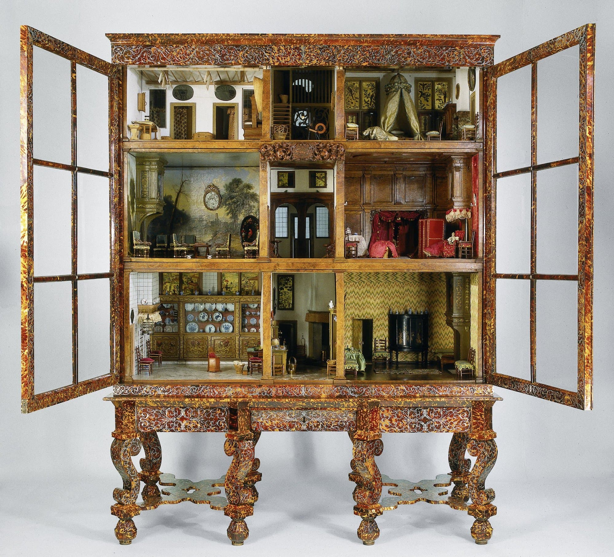
Petronella Oortman's Doll's House: The Miniature Canal House in the Rijksmuseum

Rembrandt's Self-Portrait of 1628: A Young Man and the Back of a Brush
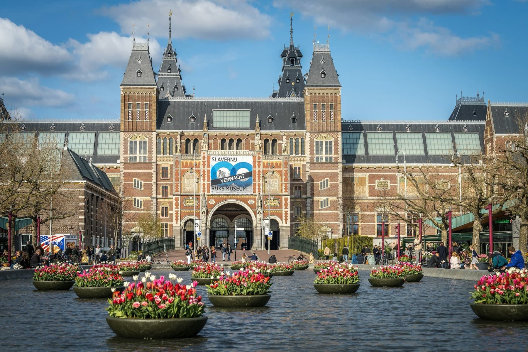
Rijksmuseum: What to See, Room by Room, and a Two-Hour Plan
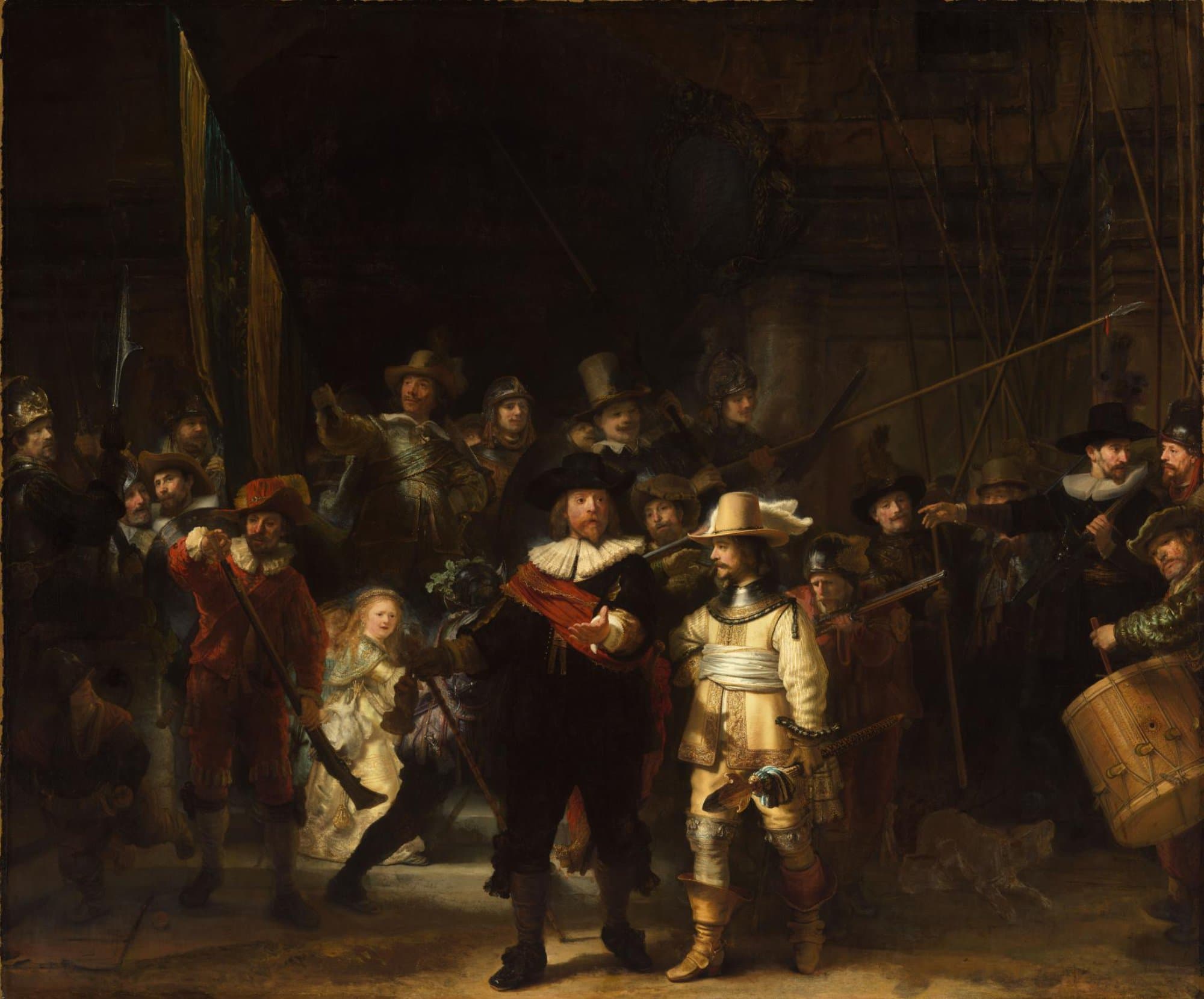
The Night Watch: Why It Is Called That, and What Was Cut Off