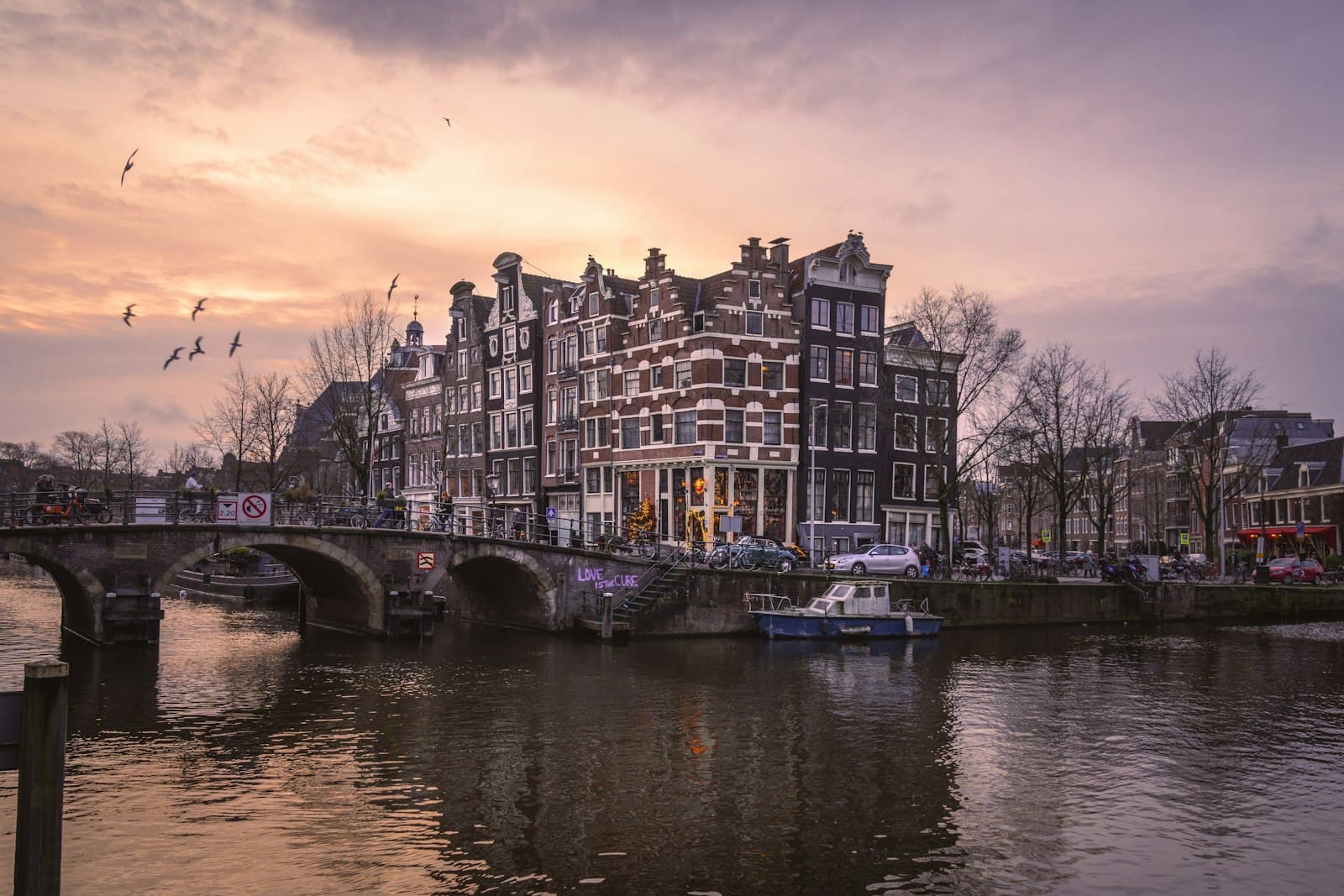
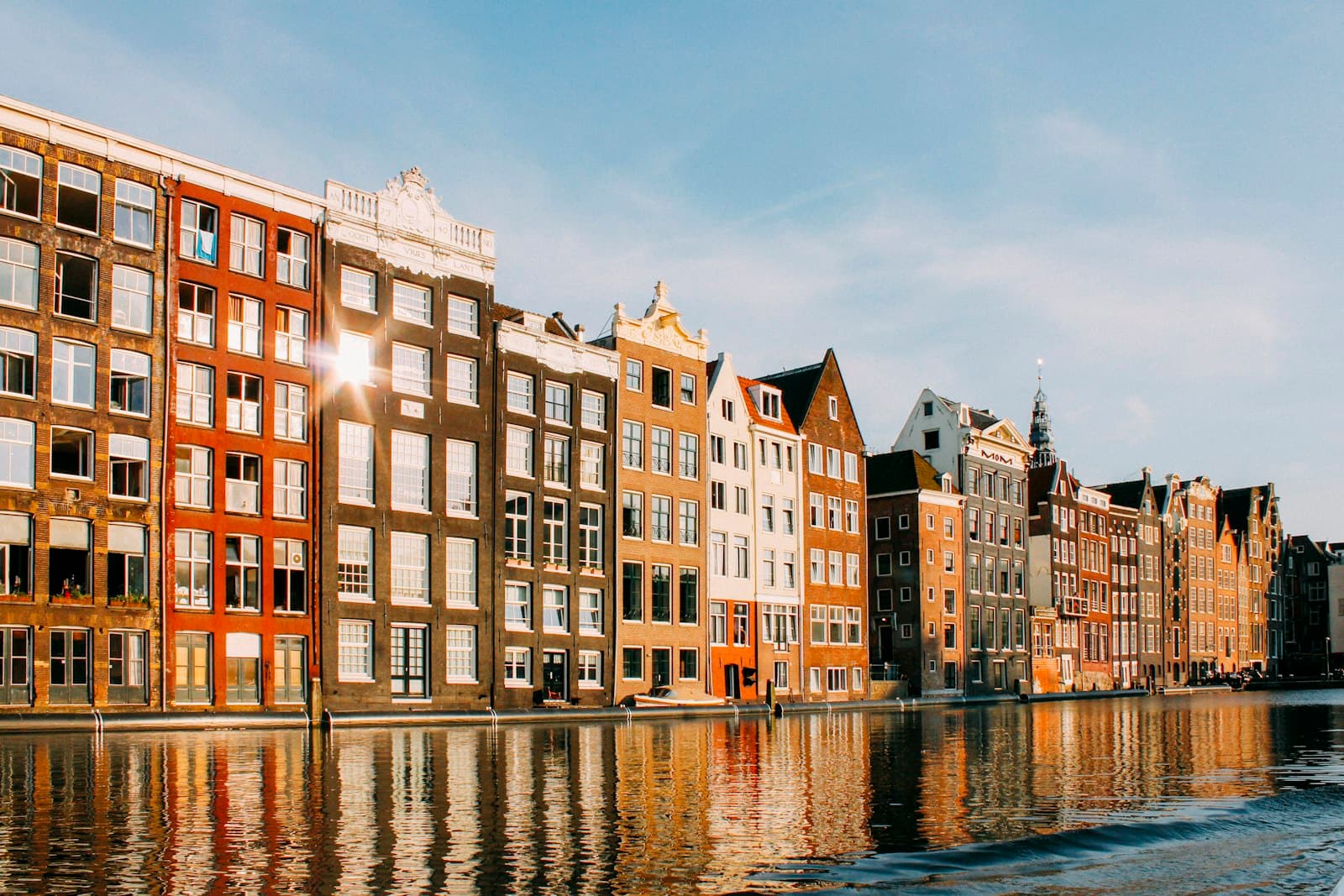
Amsterdam's famous canal ring looks timeless and romantic, but it was one of the most calculated pieces of real-estate engineering ever built. This walk reads the water, brick, and gables as the output of a single audacious plan.
Start · Westerkerk and the Westertoren: the district's anchor in the sky
DirectionsStops
- 1
Westerkerk and the Westertoren: the district's anchor in the sky
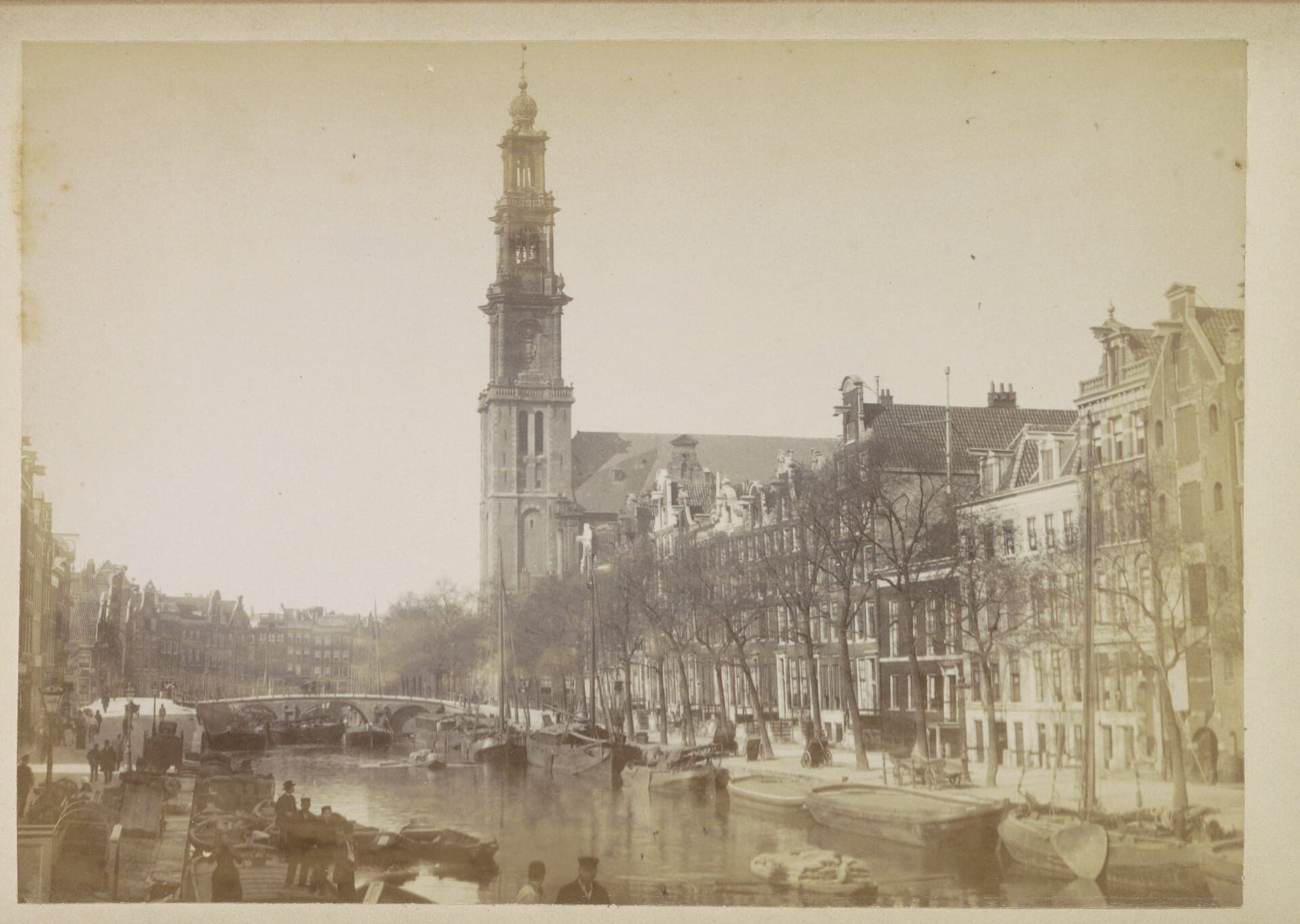
The Renaissance Protestant church on the Prinsengracht. Its tall crowned tower has anchored the canal district's skyline since the sixteen thirties.
- 2
Anne Frank House and the Secret Annex
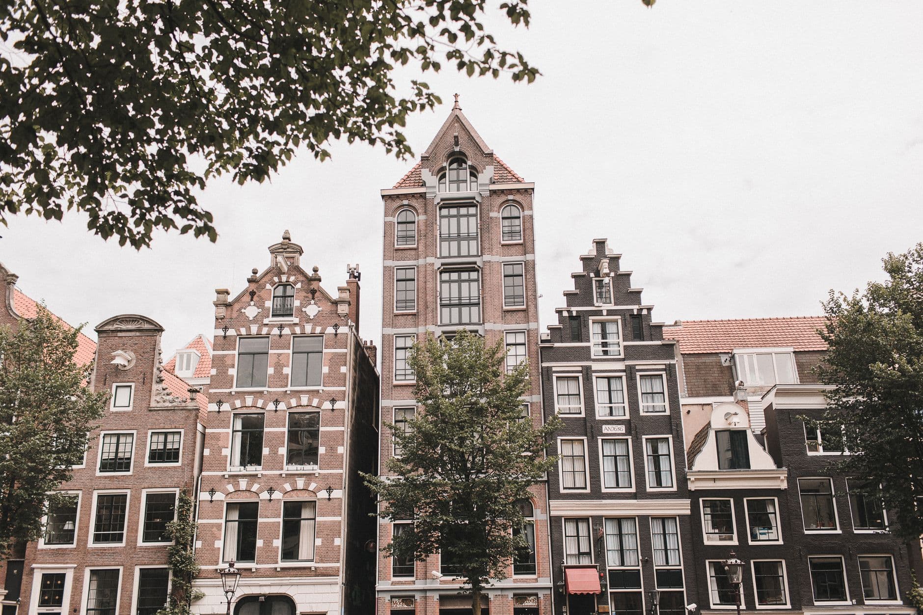
The ordinary canal house at Prinsengracht two hundred sixty-three. Here eight people hid from Nazi persecution for just over two years, and Anne Frank wrote her diary.
- 3
The Nine Streets: the plan's working texture
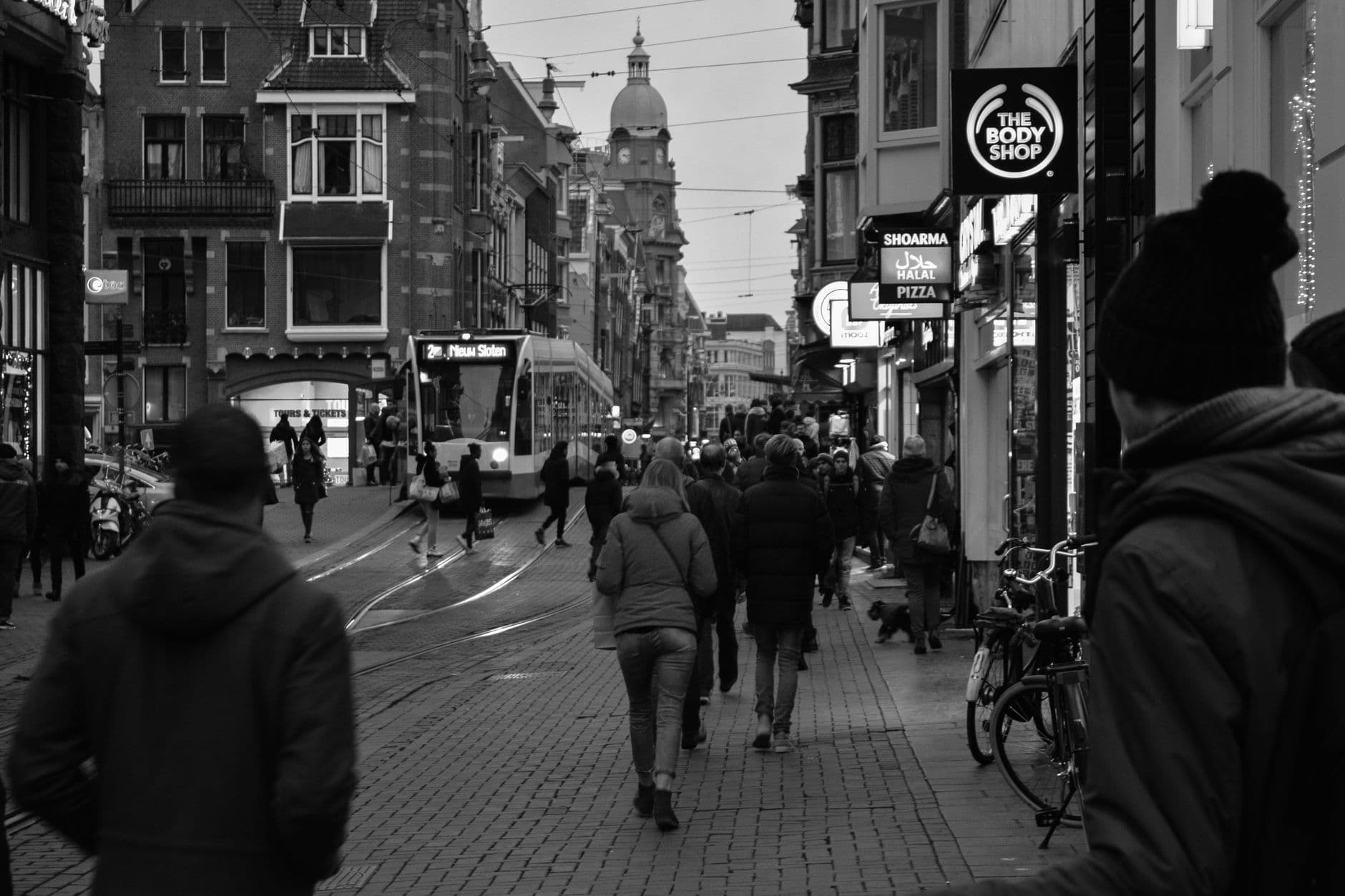
A grid of nine short lanes crossing the canals, built for tradespeople and named for the leather and hide crafts once worked here.
- 4
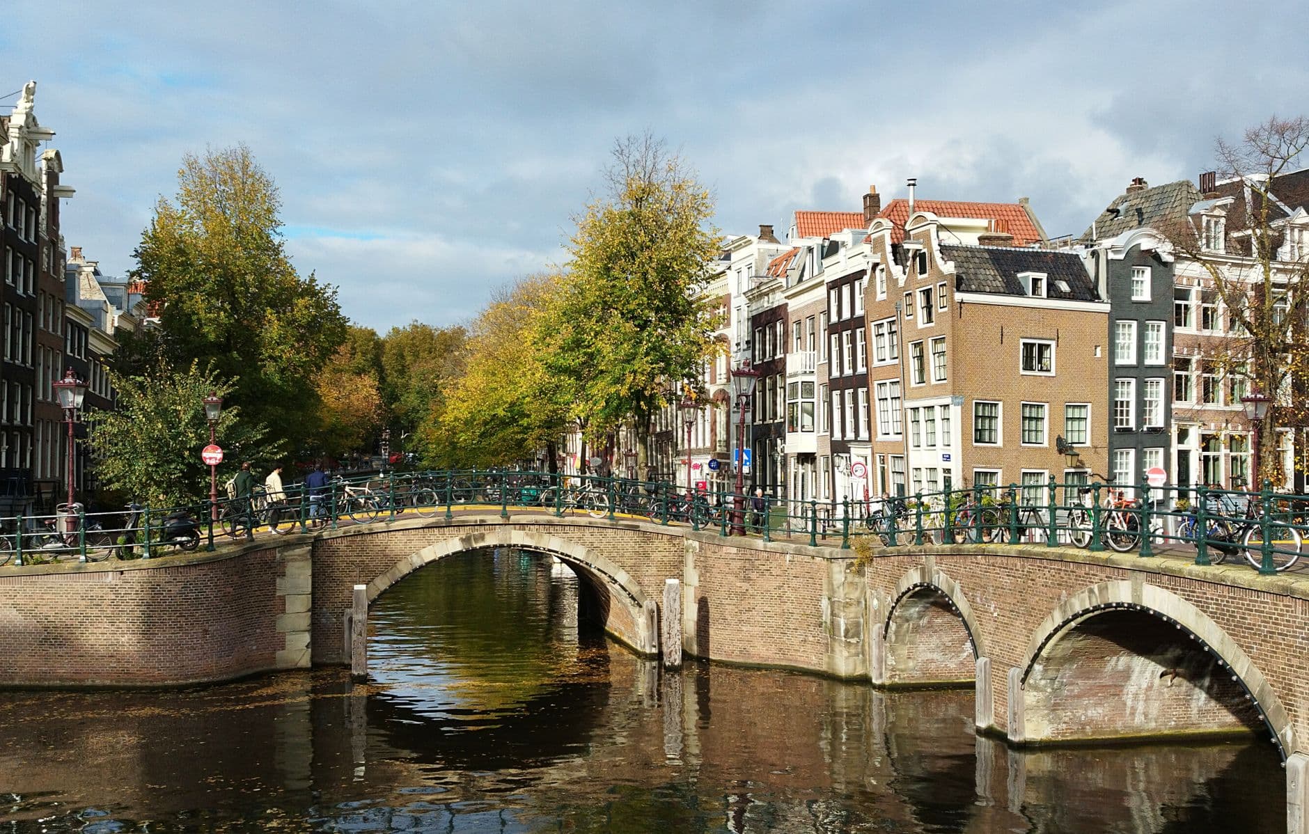
The Herengracht and the Golden Bend
The grandest stretch of the Gentlemen's Canal, where wealthy buyers combined plots into double-wide mansions and the plan paid off as elite real estate.
- 5
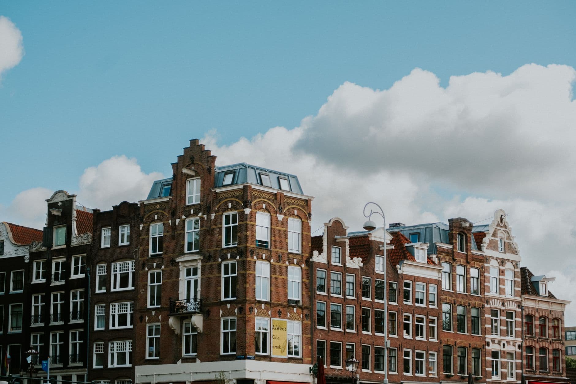
The canal house: gables, hoisting beams, and the tilt
A look-up stop that reads the standard merchant canal house, from the width tax that made it tall and thin to the beam at its peak and its forward lean.
- 6
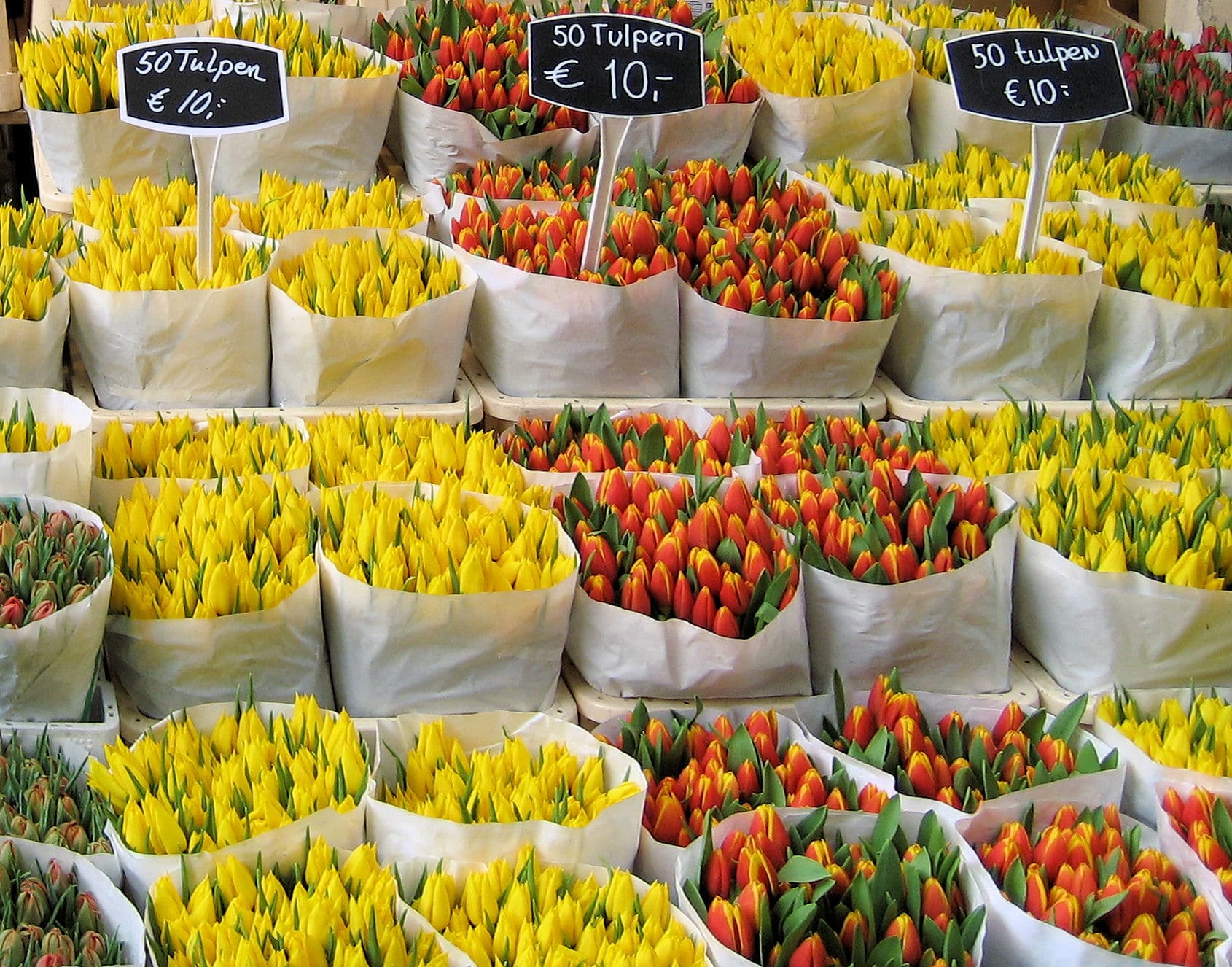
Bloemenmarkt: the flower market and the tulip legend
The flower market on barges along the Singel, a doorway to the seventeenth-century tulip trade and the disputed legend of tulip mania.
- 7
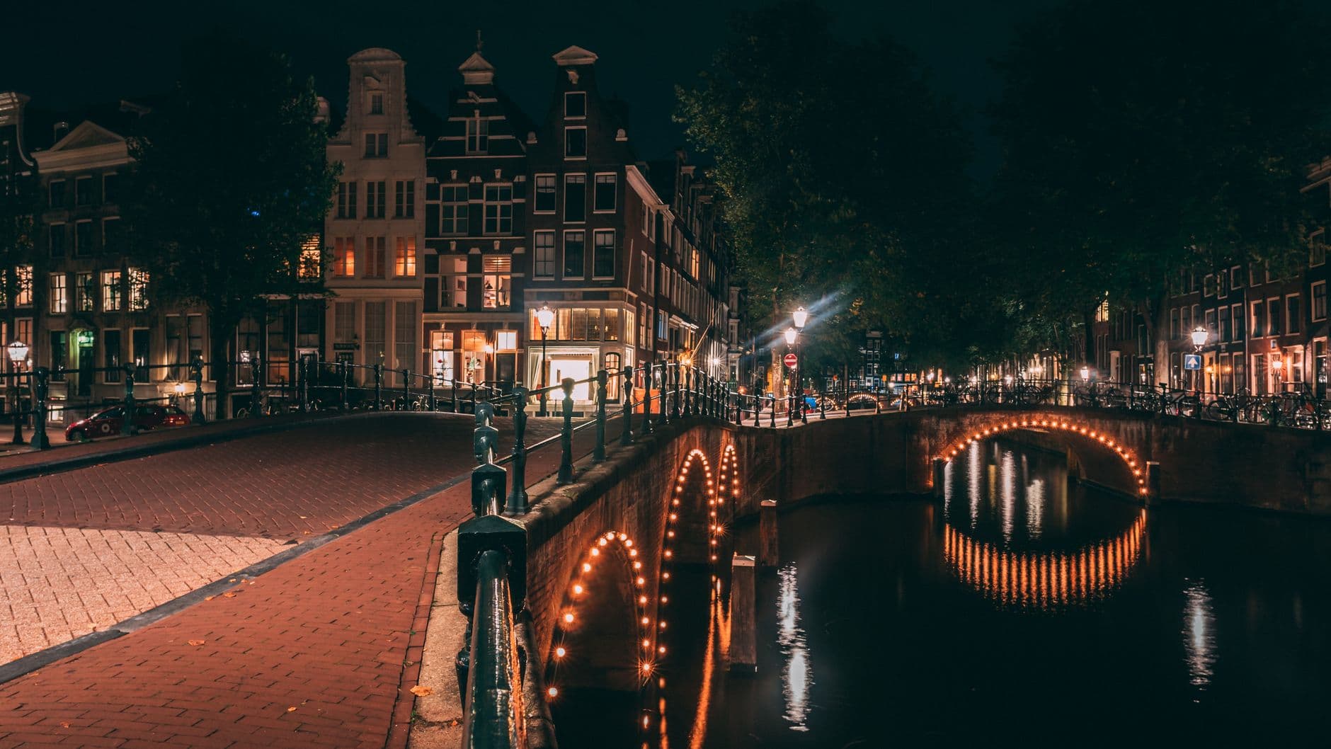
Reguliersgracht and the seven-bridges view
A narrow connecting canal from the ring's second phase, and the celebrated spot where arched bridges stack into a famous vista.
Details
Best Time to Visit
Late morning to early afternoon on a weekday, when the low northern light rakes across the brick facades and the canals catch reflections. Spring brings flowers to the market and milder crowds; summer evenings give the longest golden light on the water. Avoid weekend midday if you want quiet, and note that major sites like the Anne Frank House require timed tickets booked well ahead.
Pro Tips
- •Book major sites like the Anne Frank House online well in advance, often weeks ahead, because timed tickets sell out and there is effectively no same-day entry.
- •Walk the route slowly and look up often. The whole story lives in the gable tops, the hoisting beams, and the tilt of the facades, not at eye level.
- •Bring a phone or small camera for the seven-bridges view at Reguliersgracht, and try it in soft morning or late-afternoon light for the best reflections.
- •Keep to the right on narrow lanes and always check for bikes before stepping off a curb; cyclists own these streets and move fast and quietly.
- •Wear comfortable shoes with grip. Cobbles are uneven and the small bridges and canal-side stones get slick, especially after rain.
- •Inside the Westerkerk, dress modestly and keep your voice low; it is a working church as well as a monument.
Safety & Precautions
- •Many canal edges and wharves have no railings. Stay back from the water, especially when taking photos or looking up at facades, and watch children closely.
- •Cyclists and trams have priority and arrive fast and almost silently. Look both ways twice before crossing any street or bike lane, and never stop to photograph in a bike path.
- •Cobbles are uneven and the historic house stairs and small bridges are steep and narrow. Watch your footing, and take handrails where they exist.
- •Bridges, wharves, and cobbles become slippery when wet. In rain or frost, slow down and choose your steps carefully, particularly on the arched bridge crossings.
- •This is a busy central route and pickpocketing is the most common risk here. Keep bags zipped and worn in front, and keep phones and wallets out of open pockets, especially in the crowds at the Anne Frank House and the Bloemenmarkt, and on trams and around Centraal Station.
- •Be wary of anyone who suddenly crowds you, bumps you, or holds up a map or petition to block your view. Distraction by pairs or small groups is a common tactic, so step clear and check your belongings.
Travel advisory: Exercise Increased Caution (Level 2).
Gallery
Related Reading
Go deeper on what you'll see, hear, and walk through.
Overview
Amsterdam Travel Guide: Days, Transport, Timing, Safety, and Cost
7 min
Overview
Best Self-Guided Walking Tours in Amsterdam (2026)
4 min
Overview
One Day in Amsterdam: A Walkable Itinerary from Morning to Evening
10 min
Thematic
Rijksmuseum: What to See, Room by Room, and a Two-Hour Plan
10 min
Thematic
The Dam, the Plan, and the Quarter: How Amsterdam Was Engineered
7 min
Companion
The Golden Bend: How Amsterdam Engineered a Canal Into Palaces
6 min
Deep dive
Anne Frank House: What the Secret Annex on Prinsengracht 263 Really Was
7 min
Read
What to Eat in Amsterdam
7 min
Read the walk
The full story of Canal Ring: The City That Planned Its Water, in words. Prefer to listen? Play it narrated, from home or on location.
Introduction
On a map of Amsterdam, three great canals curve in a half-moon around the old medieval core, in the Netherlands. That shape is not the accident of a river town growing over centuries. It is a single deliberate act of engineering. In the early sixteen hundreds, at the height of the Dutch Golden Age, this city drew up one audacious plan: dig three concentric canals, line them with standardized merchant plots, and turn a river-mouth swamp into the best-organized trading city in the world. The word Grachtengordel means canal belt, and Gracht simply means canal. On this walk we will read that belt as what it truly was, a spreadsheet made of water, brick, and beautiful gables, a gable being the decorative top of a house facade. Every leaning house, every graceful bend, is the output of a plan about width taxes, plot sales, and drainage. The beauty is a byproduct of accountancy and ambition. We will also sit honestly with the harder truths beneath the golden light: where the money came from, and what one ordinary canal house witnessed three centuries later. There are seven stops on this route. Plan for roughly two hours of walking at your own pace, covering just under four kilometres, and stop or skip as you please. When you arrive at the Westerkerk on the Prinsengracht, begin with stop one.
1. Westerkerk and the Westertoren: the district's anchor in the sky
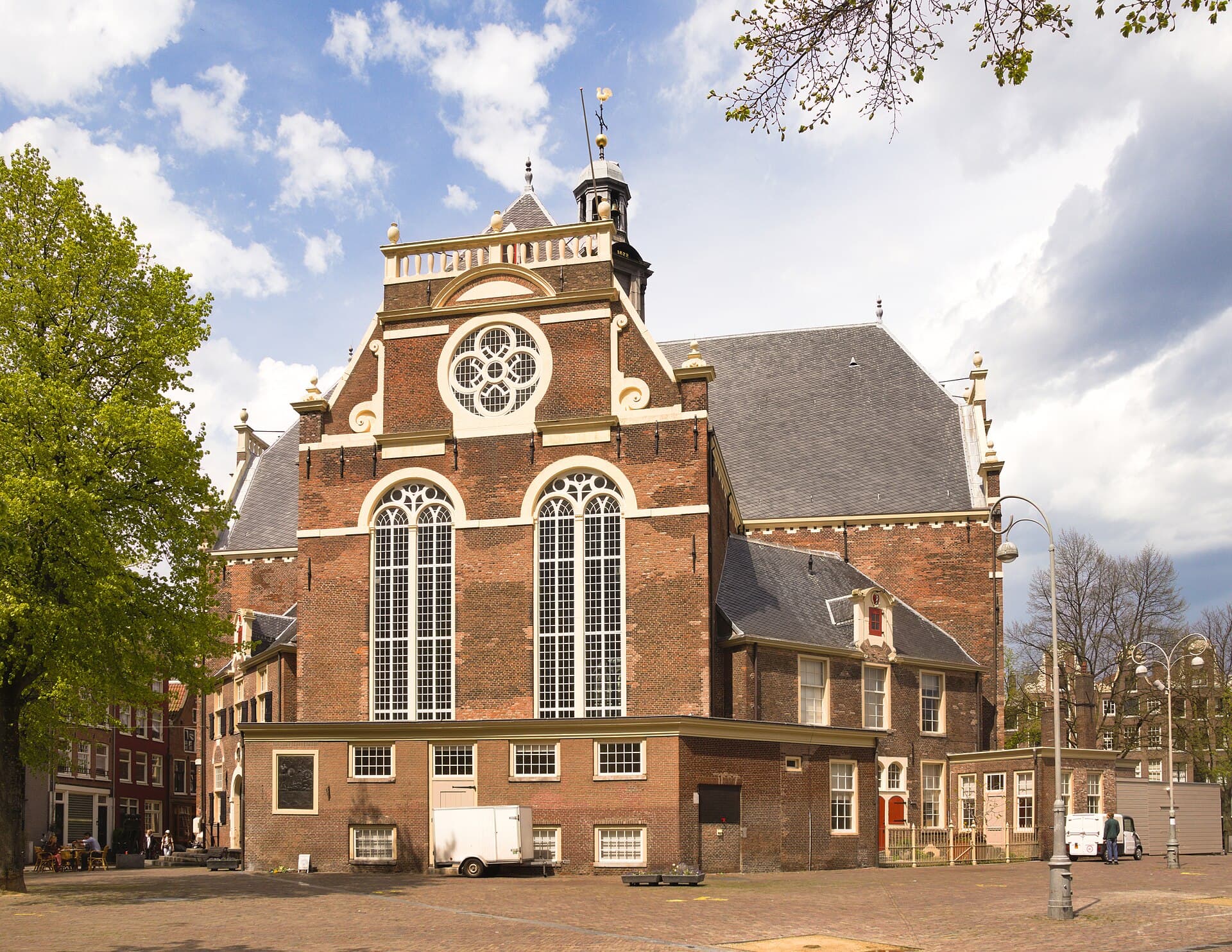
Start at the Westerkerk, the west church, on the Prinsengracht, the prince's canal, the outermost of the three great rings. Kerk means church, Toren means tower. This is the skyline anchor of the whole district. The church was built between sixteen twenty and sixteen thirty-one to designs by the architect Hendrick de Keyser, and finished after his death by his son Pieter de Keyser. It was inaugurated on the eighth of June, sixteen thirty-one, a Protestant church for a Protestant merchant city, plain and light inside where a Catholic church would be dim and gilded. Now look up. The Westertoren, the west tower, rises about eighty-seven metres, and according to Wikipedia it is the tallest church tower in Amsterdam. At the very top sits a startling flash of color, a blue and gold imperial crown. That is the imperial crown of Austria associated with Maximilian the First, granted to the city as a mark of favor, and it was repainted its original blue in the year two thousand six. Here is a sober footnote worth carrying with you. The painter Rembrandt van Rijn was buried in this church on the eighth of October, sixteen sixty-nine. His family could afford only a rented grave, and roughly twenty years later, when the rental lapsed, his remains were cleared as was the custom, so his exact spot was never marked and is now lost. One of the greatest painters who ever lived lies somewhere beneath this floor, and no one can point to the place. Take a moment with that before we walk down to the water.
2. Anne Frank House and the Secret Annex
A few steps along the Prinsengracht, beside the church, stands an ordinary canal house at number two hundred sixty-three. Please read this stop quietly. This is the Anne Frank House. Behind the front building is a rear annex, the Achterhuis, which translates as the back house, known in English as the Secret Annex. From the sixth of July, nineteen forty-two, eight people hid in that concealed annex to escape deportation by the Nazi occupiers. They were Anne Frank; her father Otto Frank and her mother Edith Frank; her older sister Margot; Hermann and Auguste van Pels and their son Peter; and Fritz Pfeffer. For just over two years they lived in silence during working hours, the entrance later hidden behind a movable bookcase, sustained by a small circle of helpers. On the fourth of August, nineteen forty-four, they were discovered and arrested. Who betrayed them, if anyone did, has never been definitively identified, and we will not guess at a name. All eight were deported. Only Otto Frank survived the camps. Anne had kept a diary throughout the hiding, and her father published it in Dutch in nineteen forty-seven under the title Het Achterhuis. The building was nearly demolished, but a foundation formed to save it, and the museum opened on the third of May, nineteen sixty. Today more than a million people come each year to stand where a teenage girl wrote, and where a family was concealed and then discovered. This walk passes the exterior only; entry is a separate timed ticket. Stand here a moment, then walk on.
3. The Nine Streets: the plan's working texture
Turn inward now, into a grid of short lanes that cross all three canals, the Singel, the Herengracht, the Keizersgracht, and the Prinsengracht. Straat means street. These are De Negen Straatjes, the Nine Streets, built in the first half of the seventeenth century as the canal ring took shape, expanding around sixteen thirteen during the long war with Spain, in the pause known as the Twelve Years' Truce. If the grand canals were the plan's showpiece, these little lanes are its working texture. Between the wide merchant frontages, the planners left room for small plots where tradespeople could live and work. Listen to the street names and you can hear what they did here. Reestraat, Berenstraat, Wolvenstraat, Huidenstraat: roe deer, bear, wolf, and hides. This was a district of leather and skins, where tanners and curriers worked animal hides into goods. Those crafts are long gone, but the names remain fixed to the stone, a memory of labor embedded in the map. There are more than one hundred forty listed historic monuments packed into these few blocks, part of the Grachtengordel that UNESCO named a World Heritage site. The area picked up its modern nickname from a marketing association formed in nineteen ninety-six, so the branding is recent even though the streets are four centuries old. Wander them slowly. Notice how narrow the plots are, how the buildings step down in scale from the canals to these lanes. This is the plan working at human scale, trades tucked between the mansions, exactly as the geometry intended.
4. The Herengracht and the Golden Bend
Come to the Herengracht, the gentlemen's canal, the innermost and most prestigious of the three rings, and follow it to its grandest stretch. This is the Gouden Bocht, the Golden Bend. Bocht means bend. It runs between the Leidsestraat and the Vijzelstraat, and it is the payoff…
Full narration for this stop unlocks with the tour.
5. The canal house: gables, hoisting beams, and the tilt
Stop along a run of the Herengracht where you can see a full row of gabled facades, and just look up. This stop is not one building; it is a lesson written across all of them. First, notice how tall and thin these houses are, some only about two to three metres wide. There is a…
Full narration for this stop unlocks with the tour.
6. Bloemenmarkt: the flower market and the tulip legend
Walk to the Singel, the innermost water, between the Muntplein and the Koningsplein, and you reach the Bloemenmarkt, the flower market. Markt means market. The stalls here sit on barges moored in the canal, which is why it is popularly called the world's only floating flower…
Full narration for this stop unlocks with the tour.
7. Reguliersgracht and the seven-bridges view
End at the corner where the Reguliersgracht meets the Herengracht. Gracht means canal, Brug means bridge. The Reguliersgracht is one of the connecting canals that cross the three main rings, and it was dug in the second phase of the plan, in the sixteen fifties or sixteen…
Full narration for this stop unlocks with the tour.