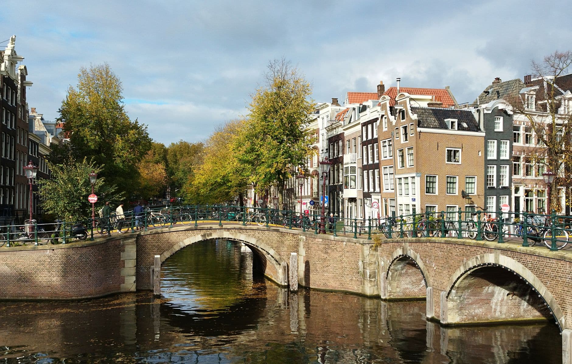
The Golden Bend of the Herengracht is the payoff of a single municipal real-estate plan. When you stand at this curve of the Gentlemen's Canal and look at the double-wide classical facades, you are not looking at the vision of a master architect. You are looking at the output of a spreadsheet made of water, brick, and engineered plots: a city selling calculated land to the richest men in the Dutch Republic, where a 1663 expansion enlarged the lots and let wealth build palaces. The beauty in front of you is a byproduct of accountancy and drainage, not the goal.
This is the argument the whole canal ring makes, and the Golden Bend is where the argument becomes visible. Amsterdam's three great canals, the Herengracht, Keizersgracht, and Prinsengracht, curve in a half-moon around the medieval core not because a river town grew that way over centuries, but because someone drew it. In the early sixteen hundreds the city resolved to dig three concentric canals, line them with standardized merchant plots, and convert a river-mouth swamp into the best-organized trading city in the world. The Dutch word Grachtengordel means canal belt. Read it as a belt of real estate, and the leaning houses and graceful bends stop being romantic accidents and start being line items.
The Herengracht Was the Premium Address
Of the three rings, the Herengracht was the innermost and most prestigious, the gentlemen's canal. The Golden Bend, or Gouden Bocht in Dutch, is its grandest stretch, running between the Leidsestraat and the Vijzelstraat. Here is the mechanism that produced it. When the city's fortifications expanded in 1663, the southern part of the ring opened up larger plots than the standard narrow lots elsewhere. The municipality actively encouraged wealthy buyers to purchase double plots and build double-wide mansions, with classical stone facades, stuccoed ceilings, and gardens behind. This was speculative real estate at civic scale. The city engineered the land, then sold depth and width to the people who could afford both.
If you want one dated example to anchor the abstraction, the burgomaster Andries de Graeff built the mansion at Herengracht 446 in 1672. That is a specific man, a specific address, and a specific year: proof that the plan translated directly into private stone. Notice also what the name did not do. "Golden Bend" is a later nickname. No seventeenth-century merchant standing on this bank called it that. The romance was applied afterward, the way we always tidy up money into legend.
The most telling fact about this stretch is what it lacks: an author. When UNESCO inscribed the canal ring as World Heritage in 2010, it credited no single master architect. It credited a comprehensive city plan, drawn by the municipality. That is the Engineer's point exactly. The grandest domestic architecture in the Dutch Golden Age was a systems output, not an auteur's signature.
Reading the House as a Machine
Hear a stop from this walk
Reguliersgracht and the seven-bridges view
To understand why these facades look the way they do, you have to read the ordinary canal house as an engineered object, and the tour's stop just past the Golden Bend does precisely that. Start with proportion. Many canal houses are startlingly tall and thin, some only about two to three metres wide. There is a fiscal reason. Owners were taxed in part by the width of their frontage on the canal, so to reduce the bill they built narrow and went up, stacking floor on floor. The tax literally shaped the silhouette of the city.
Then read the gable, the decorative top of the facade, which is effectively a date stamp. Step gables with staircase sides run roughly 1580 to 1640. Neck gables with squared shoulders run roughly 1640 to 1700. Bell gables with graceful curves run roughly 1660 to 1790. You can approximate the age of a house from its skyline alone. Look higher and you will often find a beam projecting from the peak, sometimes with a hook. That is the hijsbalk, the hoisting beam. Interior staircases were too steep and narrow for cargo, so goods were hauled up the outside on a rope and swung in through the windows. And the famous forward lean of many houses is not just decay. Part of it is deliberate, so hoisted goods swung clear of the wall instead of scraping it, and part of it is the slow settling of centuries as the timber piles beneath sink unevenly into soft, waterlogged ground. Design and gravity, both true at once.
The Harder Truth Under the Golden Light
An honest reading of the Golden Bend cannot stop at the facades. Much of the Golden Age wealth that financed these mansions flowed from the trade of the VOC, the Dutch East India Company, and from the Atlantic slave economy. The serene beauty in front of you was built on colonial commerce. The plan that engineered this water also engineered a concentration of capital, and the source of that capital is inseparable from the address. Hold both truths together: the canal ring is a masterpiece of urban planning, and its financing sits inside a brutal global system. That tension is part of what makes walking here worthwhile rather than merely pretty.
Why This Is the Way Into the Whole Walk
The Golden Bend is stop four of a seven-stop route through the Grachtengordel, just under four kilometres, roughly two hours at your own pace. It works as the hinge of the tour because it is where the plan pays off, and the stops around it show the same logic at every scale. The Westerkerk anchors the district's skyline, the Anne Frank House shows what one ordinary canal house witnessed three centuries later, the Nine Streets reveal the small-plot working texture between the mansions, and the Bloemenmarkt opens the door to tulip mania, the speculative bubble the historian Anne Goldgar significantly revised in 2007. The route closes at the Reguliersgracht seven-bridges view, where the pure mathematics of concentric canals crossed by straight connectors produces one of the loveliest sights in Europe as a side effect. Beauty as a dividend, never the goal.
If you want to see the spreadsheet turn into palaces with your own eyes, this is the walk. Browse the full set of Amsterdam walking tours, or start from the city page for Amsterdam and let the audio read the water, the brick, and the gables for you as you go.
Sources
- Gouden Bocht, Wikipedia. Background on the Golden Bend, the 1663 expansion, and double-plot mansions on the Herengracht.
- Herengracht, Wikipedia. History of the Gentlemen's Canal and its place as the innermost and most prestigious ring.
- Grachtengordel, Wikipedia. The canal ring plan, gable typology, and its 2010 UNESCO World Heritage inscription crediting a city plan rather than an architect.
- Tulip mania, Wikipedia, drawing on Anne Goldgar's 2007 archival research. Context for the speculative-bubble legend referenced on the route.
Ready to experience it?
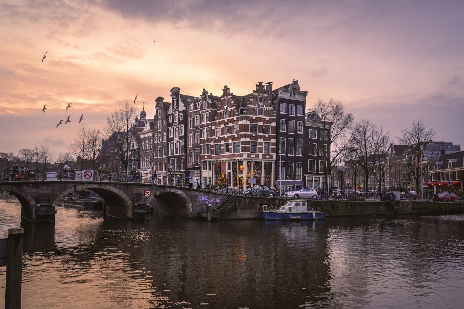
Canal Ring: The City That Planned Its Water
100 min · 3.8 km · easy
More from Amsterdam
Explore more at your own pace.
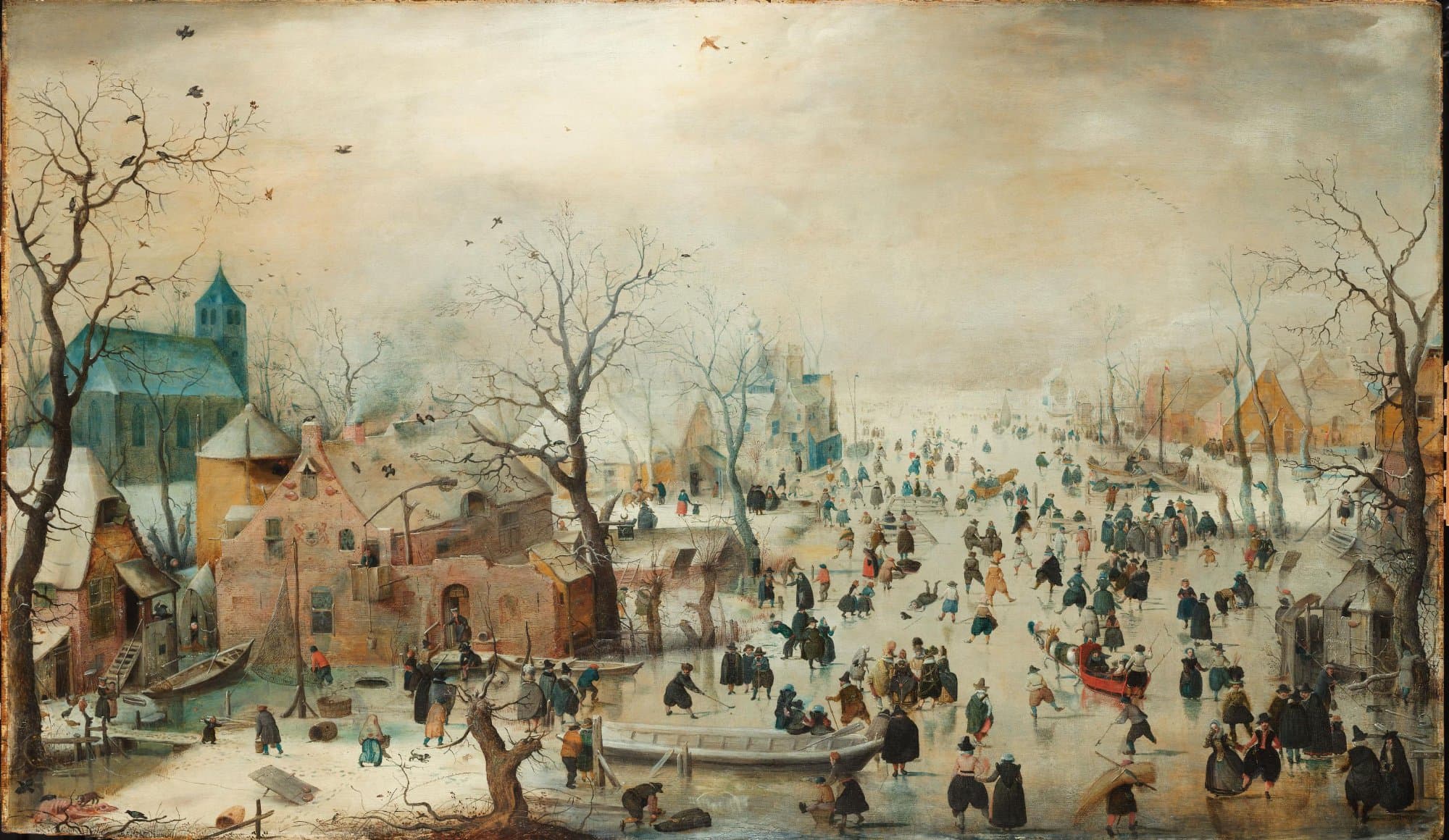
Avercamp's Winter Landscape with Skaters: Hunting the Small Stories
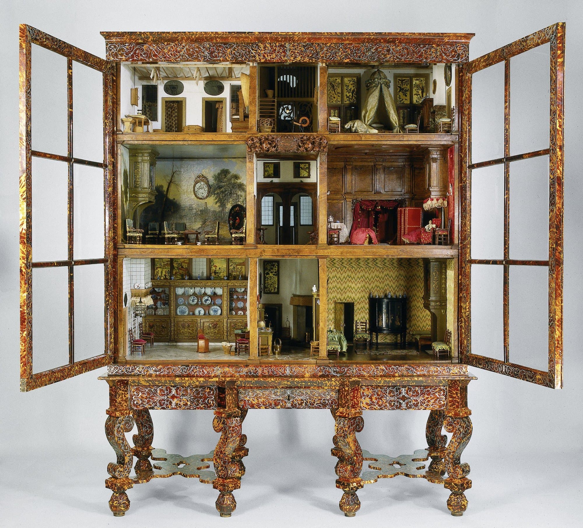
Petronella Oortman's Doll's House: The Miniature Canal House in the Rijksmuseum

Rembrandt's Self-Portrait of 1628: A Young Man and the Back of a Brush
Rijksmuseum: What to See, Room by Room, and a Two-Hour Plan
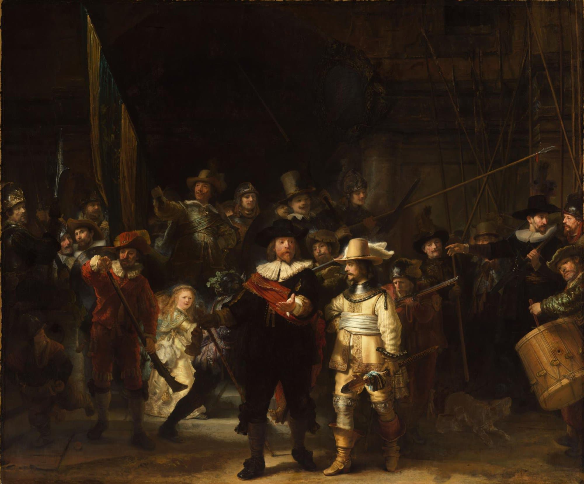
The Night Watch: Why It Is Called That, and What Was Cut Off