Old Town: The Buddha That Named a City
90 min · 2.2 km · easy
Luang Prabang is a UNESCO World Heritage town and the old royal capital of Laos, a narrow peninsula where the Nam Khan flows into the Mekong, and you can read the whole place as a stack of towns laid one over another: an animist spirit-town, a Buddhist royal capital, a French protectorate, and a modern republic. That layering is the through-line. UNESCO inscribed the town in 1995 not for one monument but for a fusion, the exceptional blend of traditional Lao religious architecture with nineteenth and twentieth century European colonial buildings, all held together on a spur of land only about one kilometre long and two hundred and fifty metres wide. Walk it slowly and every street tells you which layer you are standing on. The Luang Prabang walking tours split the town into three readings of the same peninsula, and together they show how a small golden Buddha, a sacred hill, and a colonial riverfront belong to one continuous story.
A city named for a Buddha
Start with the object that named the town. The Prabang is a small standing Buddha, an alloy of gold, silver, and copper, only about eighty-three centimetres tall and weighing something like fifty kilograms, with both hands raised in the gesture that dispels fear. Luang Prabang means, roughly, the royal Pha Bang image. Where the statue rested over the centuries, kings and monks built. The Old Town: The Buddha That Named a City walk follows that single object down the spine of the peninsula, Sisavangvong Road, which changes its name to Sakkaline Road partway along.
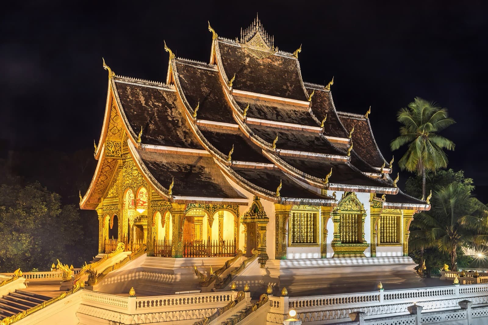
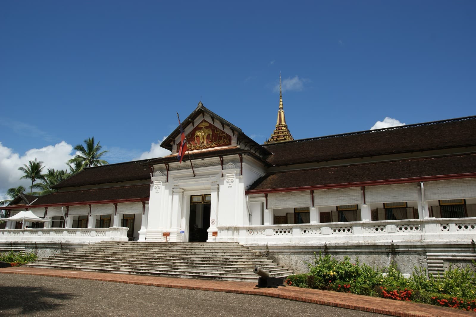
The walk begins at the former Royal Palace, Haw Kham, built between 1904 and 1909 for King Sisavang Vong. Its walls carry the fusion directly: French Beaux-Arts symmetry under a distinctly Lao multi-tiered roof. Luang Prabang had been the royal capital of the kingdom of Lan Xang, the Land of a Million Elephants, since the kingdom was founded around 1353 by King Fa Ngum, and it kept that role for about six centuries. That story ended here. After the Pathet Lao came to power, the Lao People's Democratic Republic was proclaimed on the second of December, 1975, the monarchy was abolished, and the last king, Sisavang Vatthana, abdicated. The palace became the National Museum, and the royal bedrooms inside are kept much as they were in 1975.
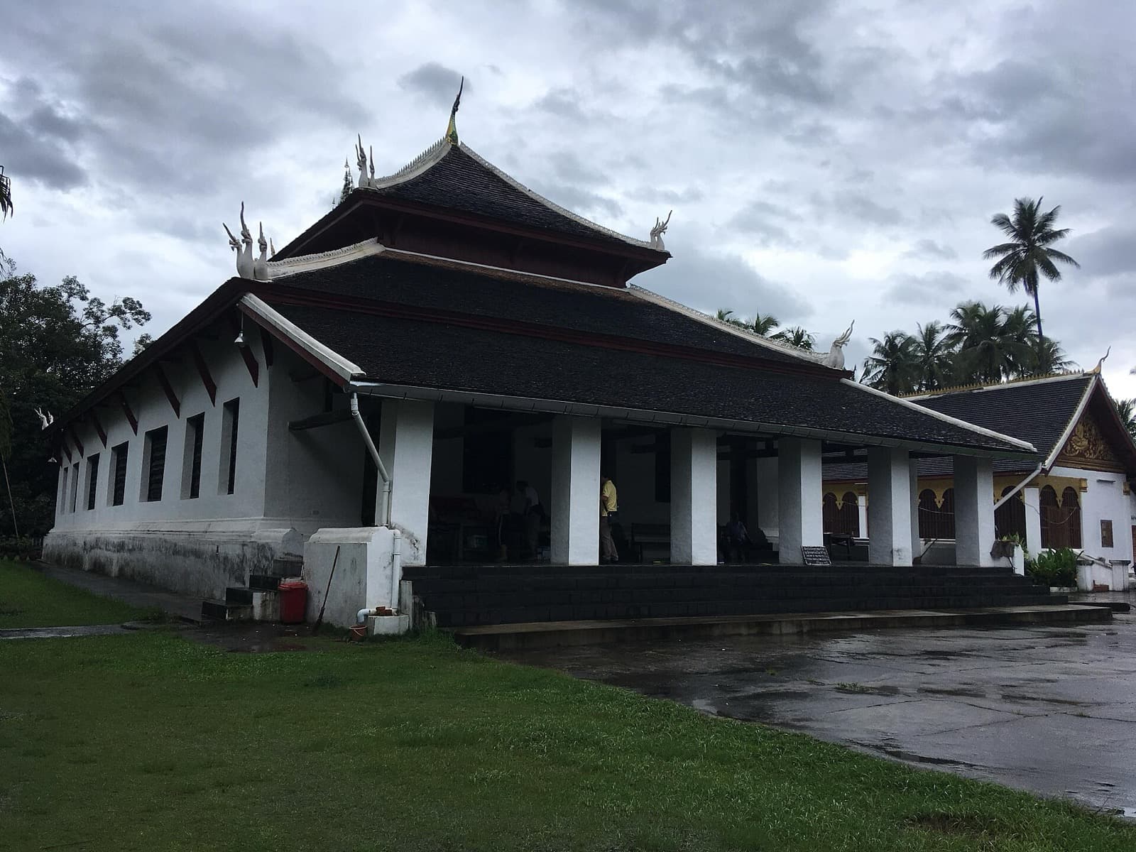
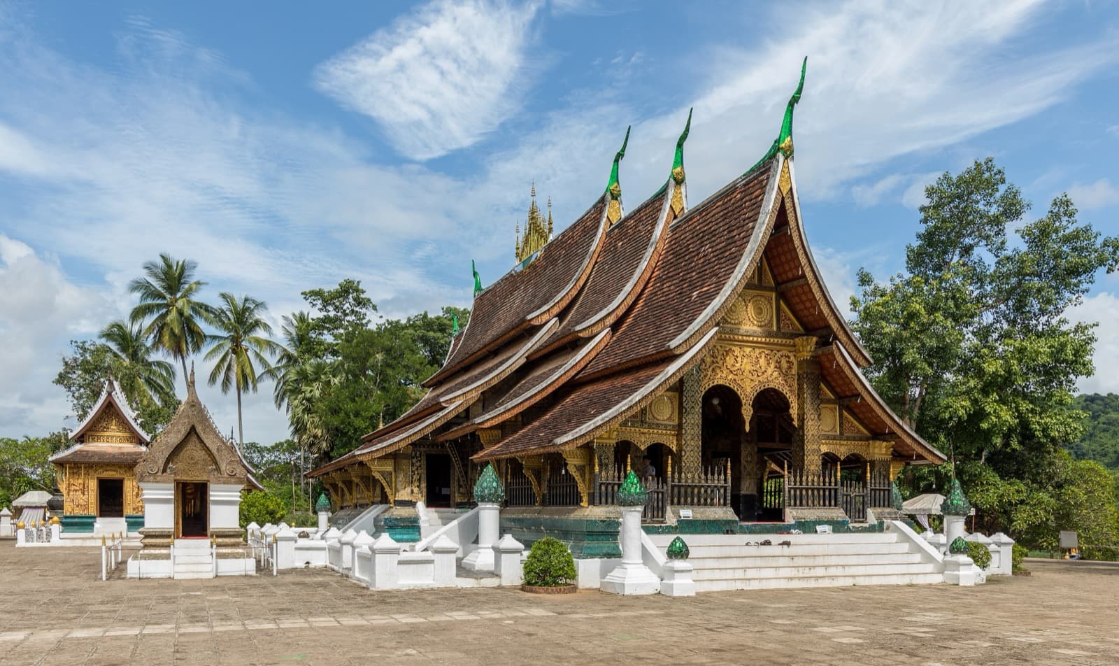
Just south, Wat Mai housed the Prabang after the town was sacked in 1887 and kept it until the mid-twentieth century, and it has served as the seat of the head of Lao Buddhism since the late nineteenth century. Its gilded front porch reads like a page, its figures cast, lacquered black, then gilded, mixing scenes from the Ramayana and the Vessantara Jataka with local villages and animals. The walk climaxes at Wat Xieng Thong, the Temple of the Golden City, built between 1559 and 1560 by King Setthathirath, where Lao kings were crowned. Its layered roofs sweep so low they almost brush the ground, and its funeral-carriage chapel holds a gilded royal carriage about twelve metres high along with the urns of Sisavang Vatthana and his family. The tip of the peninsula, where the two rivers meet, is where the whole royal town narrows to a point and stops.
The sacred hill that reads the whole town
Hear a stop from this walk
Where Two Rivers Meet: The Point of the Peninsula
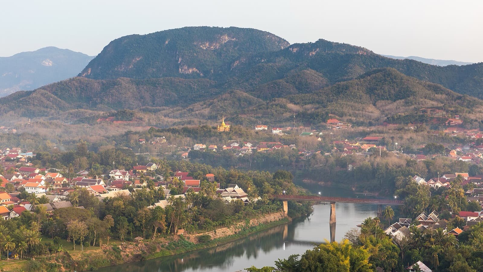
To see all these layers at once, climb the rock at the centre. The Mount Phousi: The Sacred Hill Between Two Rivers walk rises about one hundred metres up a hill wedged inside the confluence, using the view to make the geography legible. The front stairway from Sisavangvong Road runs about three hundred and twenty-eight steps; a longer eastern stairway of about three hundred and fifty-five steps drops down the quieter Nam Khan side.
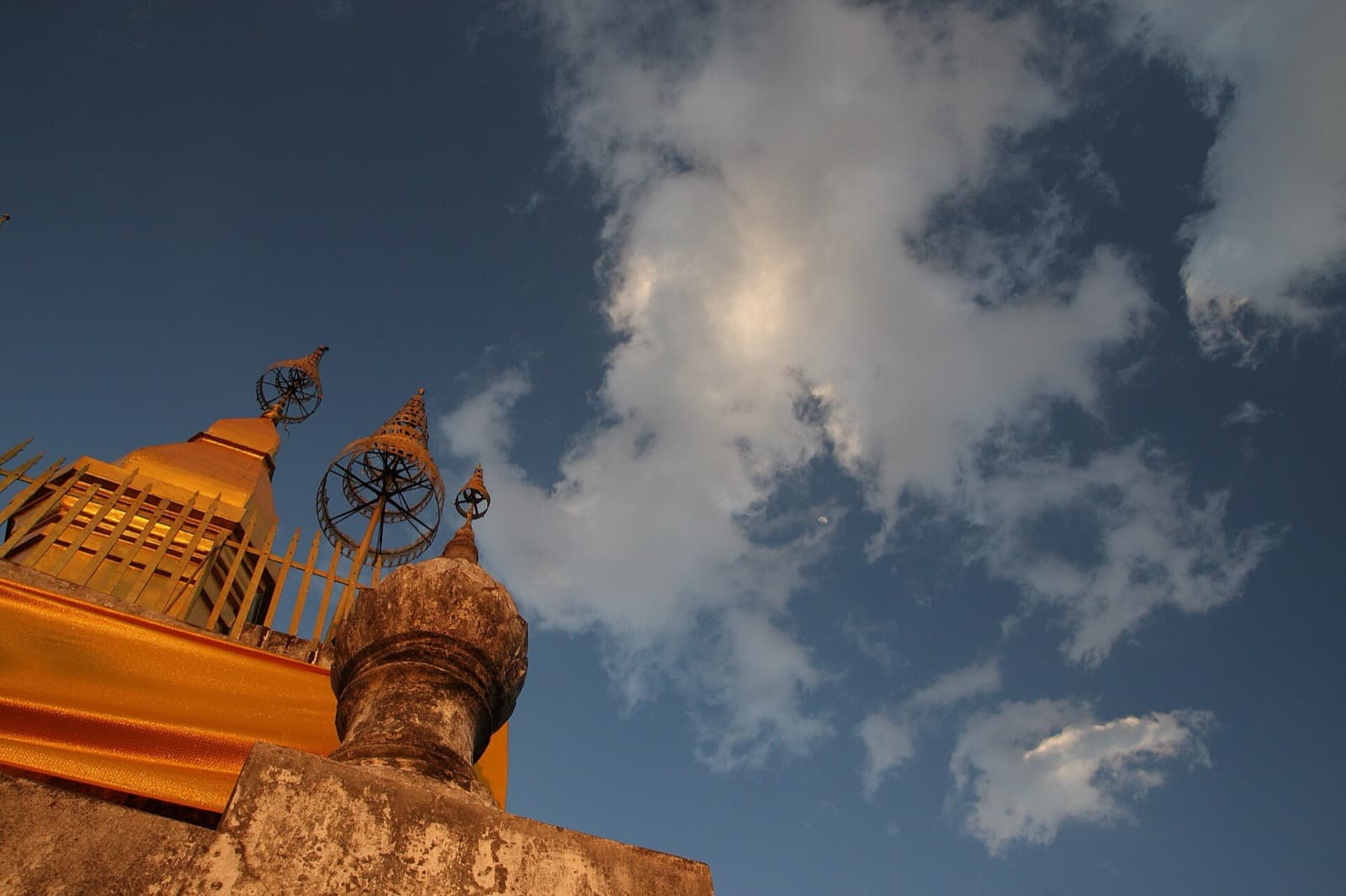
The hill is a stack of its own. At its foot, Wat Pa Huak, founded in 1861 during the reign of King Chantharath, keeps rare unrestored murals that paint the world outside the temple door: caravans, warriors, river craft, and Luang Prabang receiving envoys from China arriving with elephants and horses, a picture of a kingdom sitting on the trade routes between larger powers. Halfway up, the cave temple Wat Tham Phousi is one of only five temples remaining on a hill that once held as many as thirteen. Higher still, an enshrined Buddha footprint gives its name to Wat Siphoutthabath below, formed in 1957 when three older temples were merged into one and now home to a monks' school. The summit is crowned by That Chomsi, the gilded stupa built in 1804 during the reign of King Anourout, about twenty metres high, its spire the landmark of the town, visible across the peninsula and lit at night. From the platform beside it you see why a royal capital grew exactly here: defensible ground, a river junction, a holy hill, and below it the six hundred and eleven protected buildings UNESCO counted, a living inventory of tiered temple roofs and shuttered colonial verandas.
Peeling the fusion back to its oldest layer
The third reading runs the town in reverse, newest layer first. The Colonial Riverfront: The Fusion City on the Mekong walk begins at a brick-and-stucco mansion built around 1920, now the Traditional Arts and Ethnology Centre, described as the only independent museum in Laos devoted to the country's ethnic diversity, holding the textiles and tools of groups such as the Akha, the Hmong, the Tai Lue, and the Khmu. It is a telling first stop: a French colonial shell holding the story of the whole plural country, not just the palace and the peninsula.
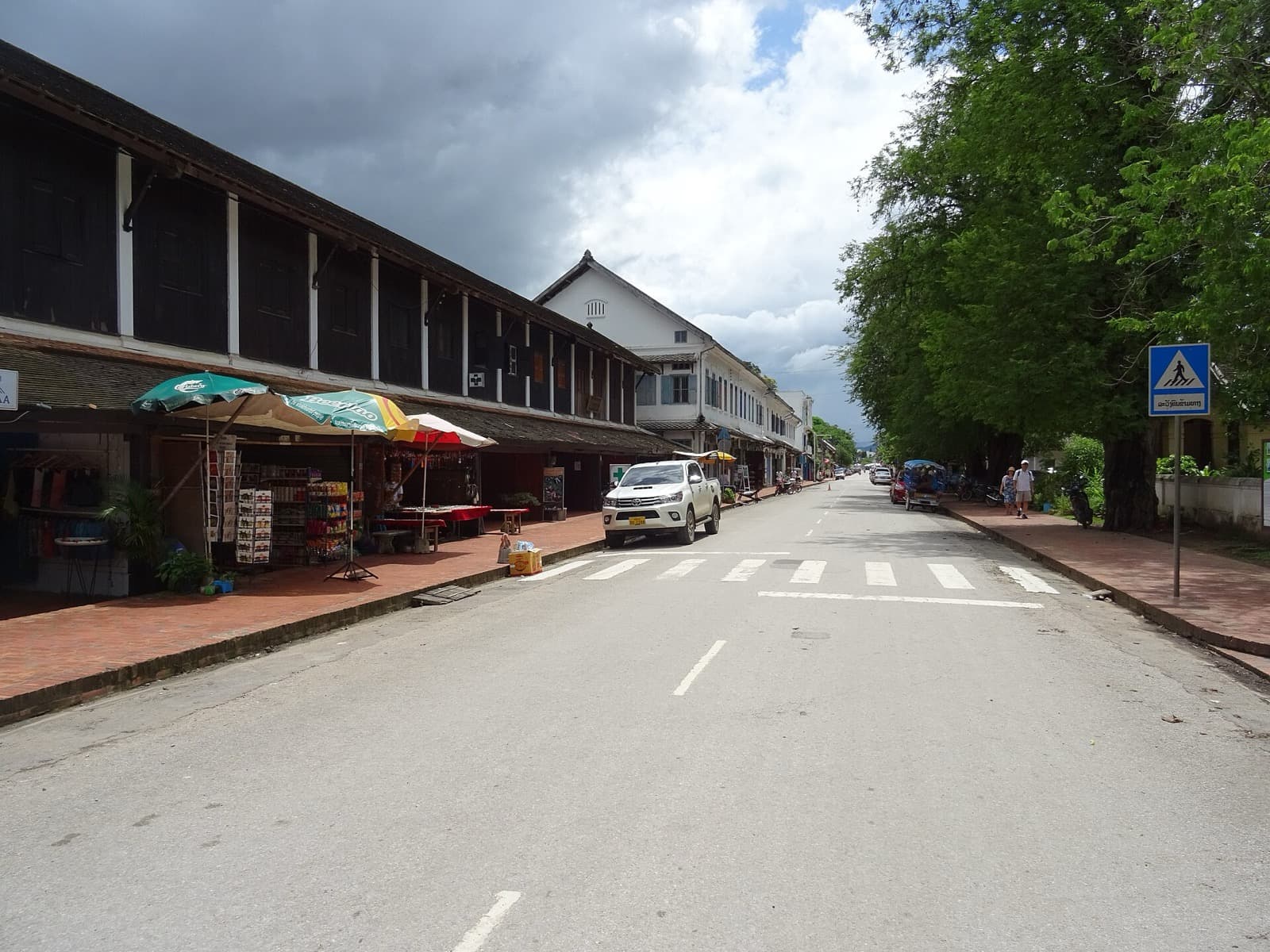
From there the walk moves along the colonial shophouses that earned the inscription, arcaded and shuttered, standing shoulder to shoulder with wooden Lao homes and gilded temples. The French protectorate that produced them began after the Franco-Siamese crisis of 1893, when the king kept his throne in Luang Prabang but real power passed to French officials and the administrative capital moved to Vientiane. The Mekong quay, Khem Khong, is the pivot: before roads, the river was effectively the only way in or out, and every layer of the town arrived by water.
Then the walk reaches the ancient core. Wat Visounnarath, from the early sixteenth century, is among the oldest temples in the city and once housed the Prabang itself. In front of it stands That Makmo, the watermelon stupa, formally That Pathum, built around 1514 by Queen Phantixieng, its Sinhalese style described as the only one of its kind in Laos; when it collapsed in 1914 it revealed a hidden hoard of early Buddha images now in the National Museum. The walk closes next door at Wat Aham, where tradition holds the town's guardian spirits, Pu No and Na No, moved into two great banyan trees after a devout king suppressed spirit worship and built a monastery over their shrine. Fa Ngum is said to have honoured these spirits here around the founding of Lan Xang in 1353, and the present hall dates only to about 1818. This is the fusion at its deepest: the older gods were never erased, only folded in, and they still keep their place beside the Buddha.
One town, your own pace
Each dawn the barefoot monks still pass for the alms round, the Tak Bat, a sacred daily ritual and not a show. The two rivers keep moving. Luang Prabang town largely escaped the heavy wartime bombing that fell on eastern and southern Laos between about 1964 and 1973, which is one reason the peninsula survived so whole. The town is small enough to read in a few kilometres and layered enough to reward slow attention, and reading it at your own unhurried clock, away from the packed sunset circuits, is the whole point.
Sources
- UNESCO World Heritage Centre, Town of Luang Prabang inscription (1995), criteria and building count.
- National Museum (former Royal Palace), Haw Pha Bang and the Prabang image.
- Lao National Tourism Administration records on Mount Phousi temples, That Chomsi, and That Makmo.
- Traditional Arts and Ethnology Centre (TAEC), Luang Prabang.
- Roamer self-guided audio tours of Luang Prabang (Old Town, Mount Phousi, Colonial Riverfront).
Frequently asked questions
- Why is Luang Prabang a UNESCO World Heritage Site?
- The Town of Luang Prabang was inscribed on the UNESCO World Heritage List in 1995 for the exceptional fusion of traditional Lao religious architecture with nineteenth and twentieth century European colonial buildings. UNESCO identified six hundred and eleven civilian and religious buildings as heritage worth preserving, spread across a peninsula formed by the Mekong and the Nam Khan rivers.
- How did Luang Prabang get its name?
- The city is named for the Prabang, a small standing Buddha of gold, silver, and copper alloy, only about eighty-three centimetres tall. Luang Prabang means, roughly, the royal Pha Bang image. The town grew around the places where this sacred statue rested over the centuries.
- How long was Luang Prabang the royal capital of Laos?
- It was the royal capital of the kingdom of Lan Xang, the Land of a Million Elephants, for about six centuries. The kingdom was founded around 1353 by King Fa Ngum, and the monarchy was abolished in 1975 when the Lao People's Democratic Republic was proclaimed and the former Royal Palace became the National Museum.
- What is the best way to see Luang Prabang on foot?
- The old town sits on a peninsula only about one kilometre long and two hundred and fifty metres wide, so it is easily walkable. Three self-guided routes each read the town differently: the Old Town walk follows the Prabang down the temple spine, the Mount Phousi climb reads the whole town from the summit, and the Colonial Riverfront walk peels back the fusion city from its newest layer to its oldest.
- What is the Tak Bat in Luang Prabang?
- The Tak Bat is the dawn alms round, when barefoot monks walk the streets to collect rice offered by residents who kneel along the way. It is a sacred daily ritual and an act of devotion, not a tourist show, so visitors should watch quietly from a distance, dress modestly, and never block the monks or buy a place in the line.
Ready to experience it?
Old Town: The Buddha That Named a City
90 min · 2.2 km · easy
More from Luang Prabang
Explore more at your own pace.
Luang Prabang Travel Guide: Days, Transport, Season, Safety, Budget
That Chomsi Stupa: Why the Golden Point Above Luang Prabang Reads the Whole Town
The Colonial Shophouses of Luang Prabang: The Fusion UNESCO Chose to Protect
The Royal Palace of Luang Prabang: Where a Kingdom Kept Its Last Throne
The Summit of Mount Phousi: Reading Luang Prabang From the Sacred Hill