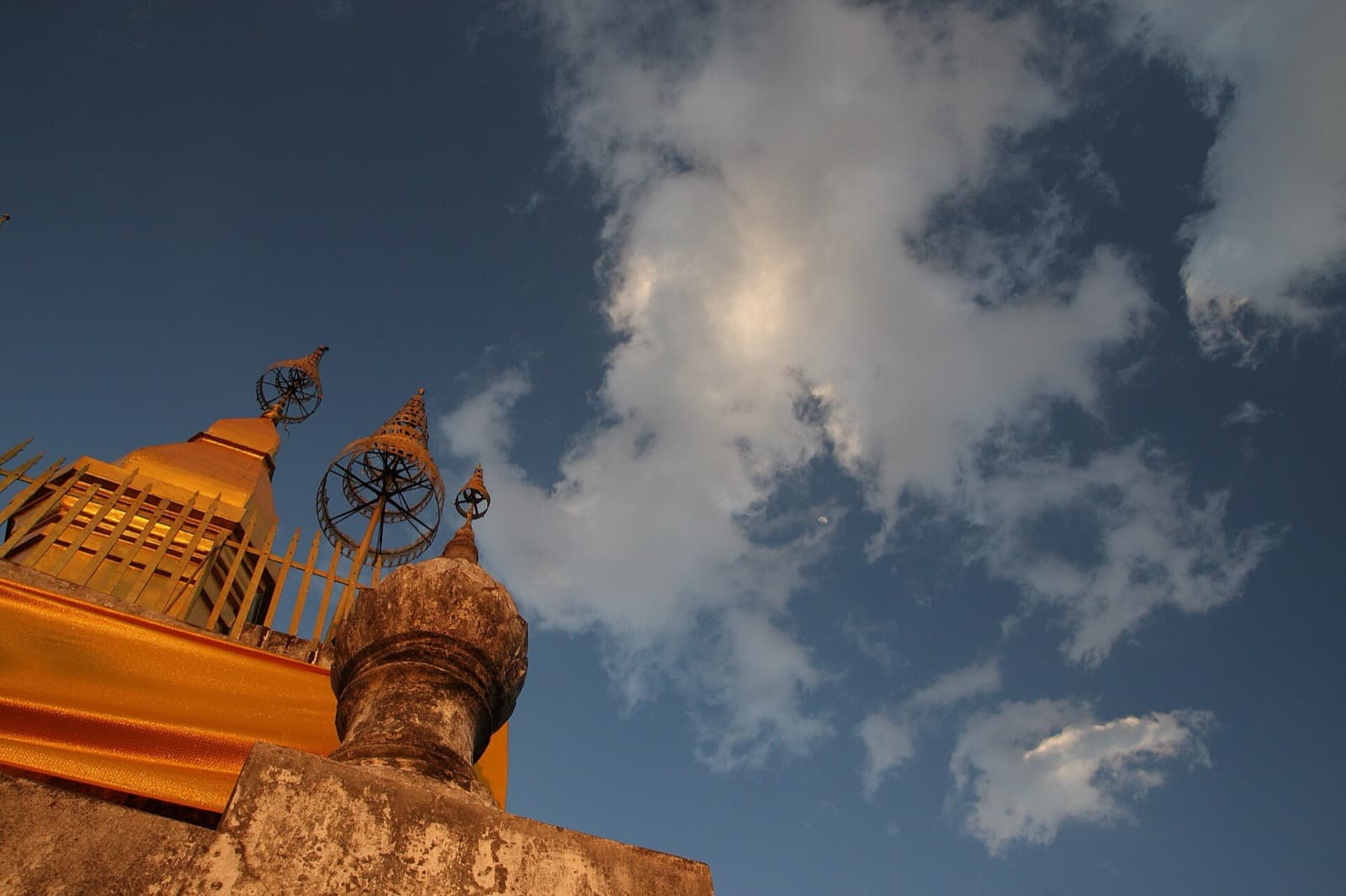
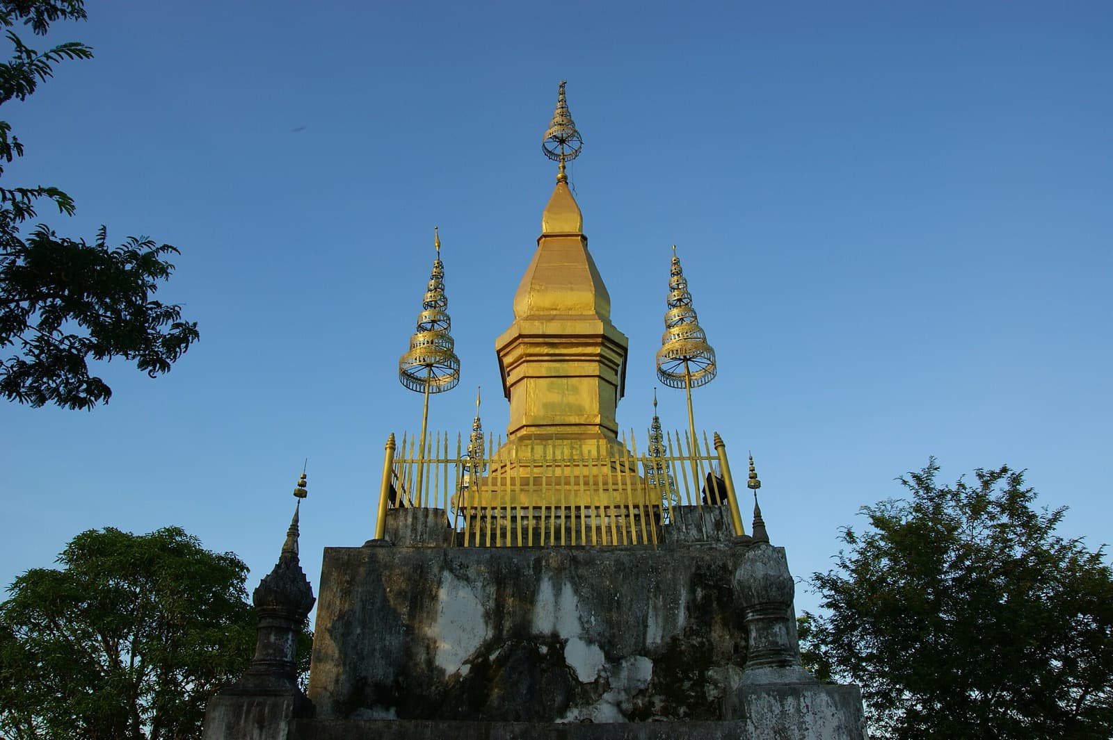
The golden stupa of That Chomsi, built in 1804 on the summit of Mount Phousi, is the point every eye in Luang Prabang finds. Its gilded spire is the landmark of the old royal capital, visible across the narrow peninsula and lit at night. Standing at its base, you can read the whole town below you between the Mekong and the Nam Khan, and reaching that base on your own schedule rather than in a scheduled sunset crush is the entire argument of the climb. Mount Phousi is the wooded hill at the exact center of Luang Prabang, a knob of rock about one hundred metres high standing inside the confluence of two rivers, and That Chomsi is the crown that makes the hill legible.
What the stupa actually is
That Chomsi was built in 1804, during the reign of King Anourout, who ruled Luang Prabang from 1792 to 1819. It stands about twenty metres high, set on a white-painted rectangular base that tapers to a seven-tiered parasol and a golden spire. "That" is the Lao word for stupa, a monument that in Buddhist tradition enshrines relics or marks a sacred place. The stairways that reach it were later rebuilt in brick and lime mortar during the reign of King Sisavang Vong in the early twentieth century, so what you climb is a layered thing: an early-nineteenth-century summit shrine, reached by twentieth-century stairs.
Beside the stupa stands a small viharn, an assembly hall, sheltering a large seated Buddha ringed by smaller images. To reach the summit as a foreign visitor you pay a small ticket, about thirty thousand kip, and the platform is open through daylight hours, roughly six in the morning to six in the evening. There is a dress code, and alcohol is not permitted at the summit. That last detail tells you plainly what this is: a sacred place, not merely a scenic one. People come here to pay respects, and the view is a consequence rather than the purpose.
Why the hill was chosen
Hear a stop from this walk
The Stairway: A Few Hundred Steps to the Sky
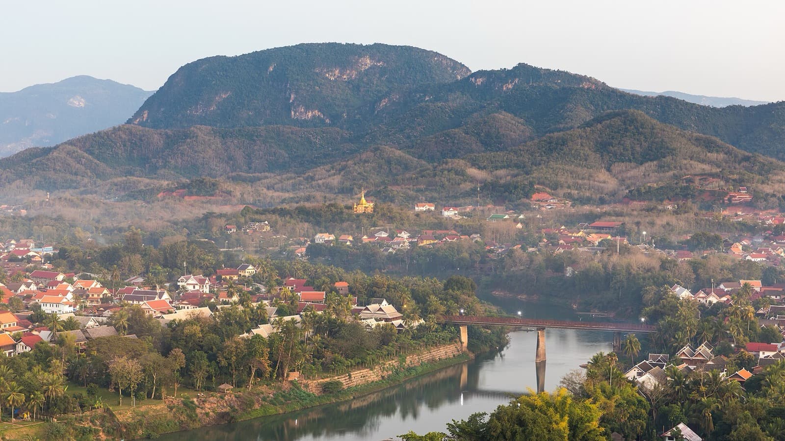
From the platform beside the stupa, the geography that made Mount Phousi sacred becomes clear at a single glance. On one side runs the Mekong, wide and brown. On the other runs the Nam Khan, the smaller river, and the two draw together at the tip of the peninsula. Between them the old town stretches, only about one kilometre long and about two hundred and fifty metres wide, a narrow tongue of land held inside the rivers' confluence. From up here you understand why a royal capital grew exactly here: defensible ground, a river junction, and a holy hill watching over both.
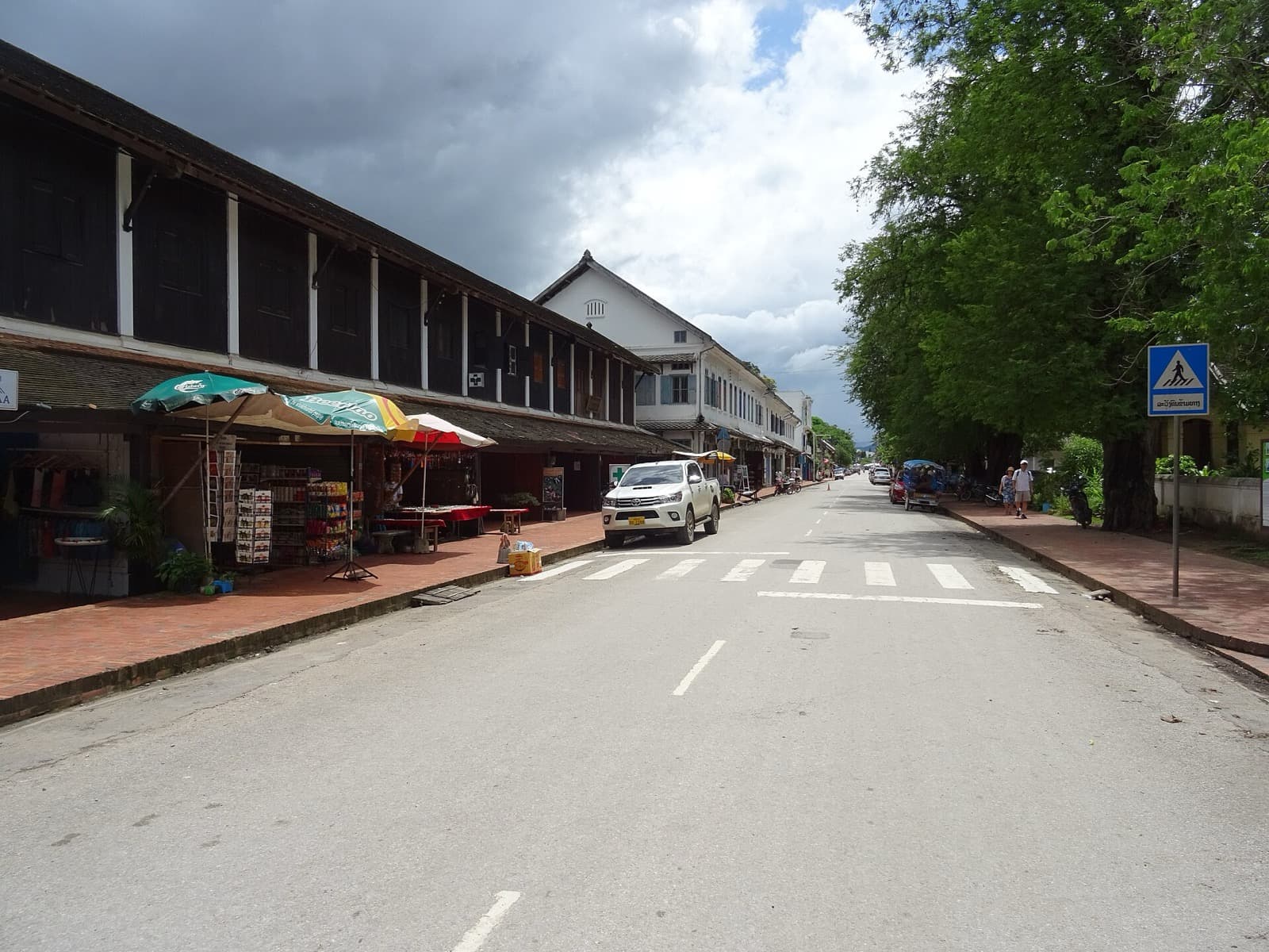
The roofs below tell the town's story in tile and tin. The tiered temple roofs of the peninsula's monasteries sit among the shuttered facades and verandas of the colonial streets. The town of Luang Prabang was inscribed on the UNESCO World Heritage List in 1995 for the exceptional fusion of traditional Lao architecture with the European colonial buildings of the nineteenth and twentieth centuries, and UNESCO counted six hundred and eleven protected buildings. From this railing you are looking down at that living inventory. If you want to plan the rest of your visit around the streets you can see from here, the Luang Prabang walking tours guide lays out how the peninsula fits together.
The climb that leads to the summit
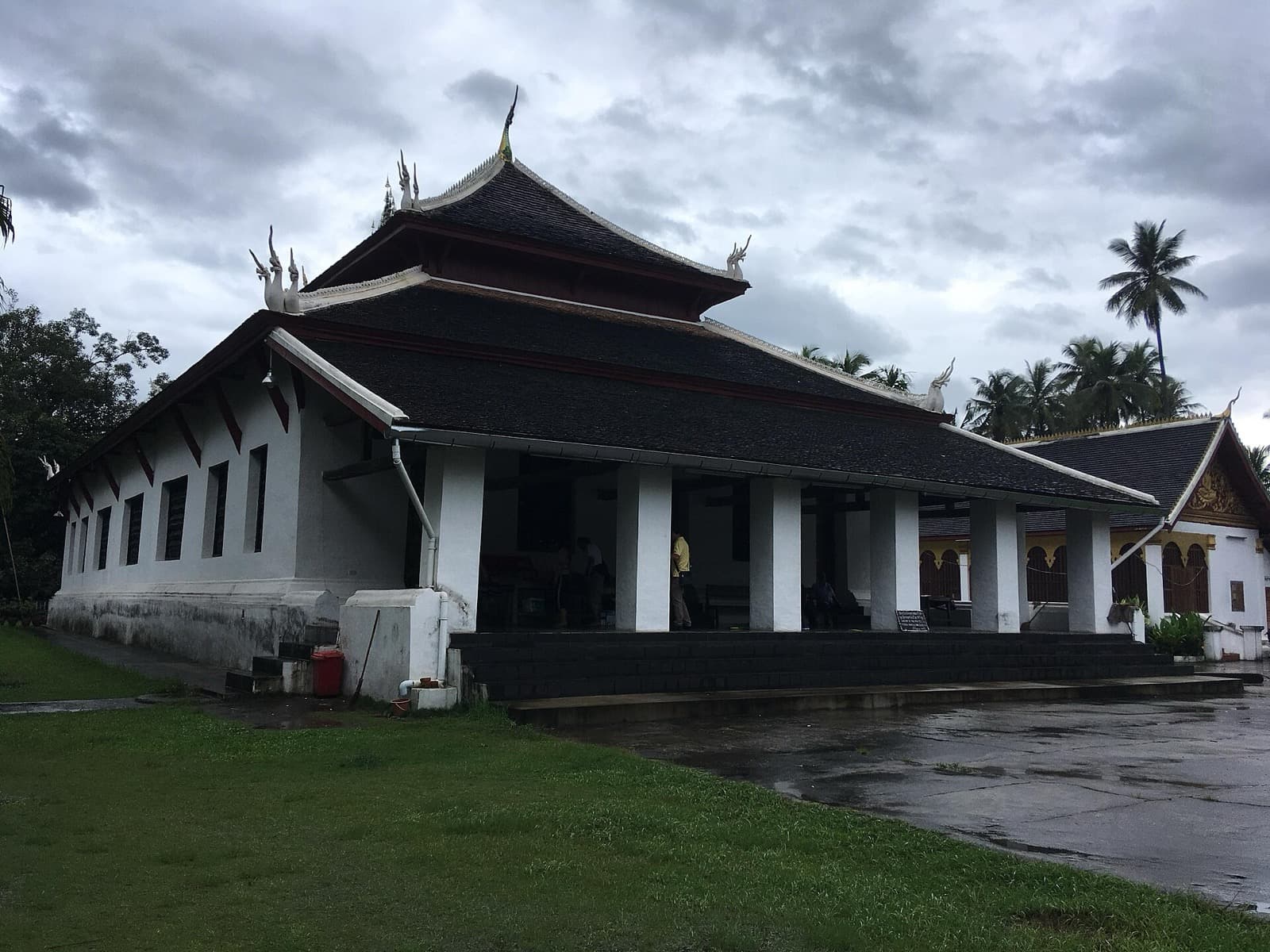
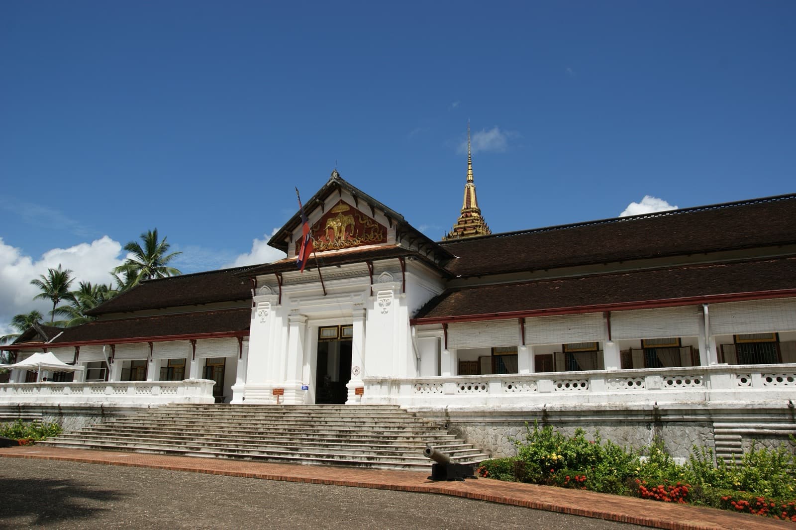
The stupa is the goal, but the climb is what earns it, and this is where the self-guided approach pays off. You begin at the foot of the hill at Wat Pa Huak, a modest temple most sunset climbers walk straight past. It was founded in 1861 during the reign of King Chantharath, and its ordination hall keeps rare murals that were never restored. Instead of the usual scenes from the Buddha's lives, these paint the world outside the temple door: caravans, warriors on horseback, river craft on the Mekong, and Luang Prabang receiving visitors from China arriving with elephants and horses. Across the road stands the former Royal Palace, built in 1904 for King Sisavang Vong and now the National Museum.
From there the front stairway rises about three hundred and twenty-eight steps under frangipani trees, past seated Buddha images set into the hillside and naga serpent balustrades that guard the sacred way. About halfway up you reach Wat Tham Phousi, a cave temple built against the living rock, one of only five temples that remain on a hill that once held as many as thirteen. Higher still, near where the far stairway begins its descent, a Buddha footprint is enshrined in the rock, an aniconic symbol of the Buddha's presence that predates showing him as a human figure at all. These are the stops the crowd skips on its race to the top, and they are where the hill reveals itself as a sacred place rather than a viewpoint.
Setting your own hour
Here is the thing worth knowing before you start. This climb is the most tour-packaged experience in Luang Prabang. At sunset the narrow summit platform fills with scheduled groups arriving at the same golden hour, and the railing you would want to lean on is three deep. Your freedom is the whole point. Go up soon after the summit opens around six in the morning, when the light over the two rivers is soft and the shrines are yours alone, or come an hour or more after the sunset queue has cleared. Linger at the cave temple as long as you like. No group is waiting on you, and the stupa keeps its own quiet regardless of the crowd.
When you leave, take the far side down. The eastern stairway, the longer one of about three hundred and fifty-five steps, drops through the trees on the Nam Khan side while the sunset groups funnel back down the front. Partway down you reach Wat Siphoutthabath, formed in 1957 when three older temples were merged and named for that footprint enshrined in the rock above. It houses a monks' school, a working centre of Buddhist learning rather than a museum piece. The steps come out among the quiet lanes near the smaller river, and your walk ends down the calm side of a sacred hill, in the quiet you chose.
That is the difference between reaching a viewpoint and reading a place. The full self-guided route through this and the neighbouring tours is set out on the Luang Prabang city page, so you can walk the golden point above the town at whatever hour belongs to you.
Sources
- UNESCO World Heritage List, Town of Luang Prabang (inscription 479): 1995 inscription and the count of six hundred and eleven protected buildings.
- Wikipedia, Phou Si: the roughly 100-metre hill and the 328-step front stair.
- Tourism Luang Prabang, Phou Si Mountain: That Chomsi built in 1804 under King Anourout, the five surviving hill temples of an original thirteen, the enshrined Buddha footprint, and the summit ticket and hours.
- Frommer's and Oriental Architecture, Wat Pa Huak: the 1861 founding under King Chantharath and the unrestored secular murals.
- Authentik Travel, Phousi Mountain blog: the stupa's seven tiers and gilded spire above the town.
Ready to experience it?
Mount Phousi: The Sacred Hill Between Two Rivers
90 min · 2 km · moderate
More from Luang Prabang
Explore more at your own pace.
Luang Prabang Travel Guide: Days, Transport, Season, Safety, Budget
Luang Prabang: The Fusion Royal Town Between Two Rivers
The Colonial Shophouses of Luang Prabang: The Fusion UNESCO Chose to Protect
The Royal Palace of Luang Prabang: Where a Kingdom Kept Its Last Throne
The Summit of Mount Phousi: Reading Luang Prabang From the Sacred Hill