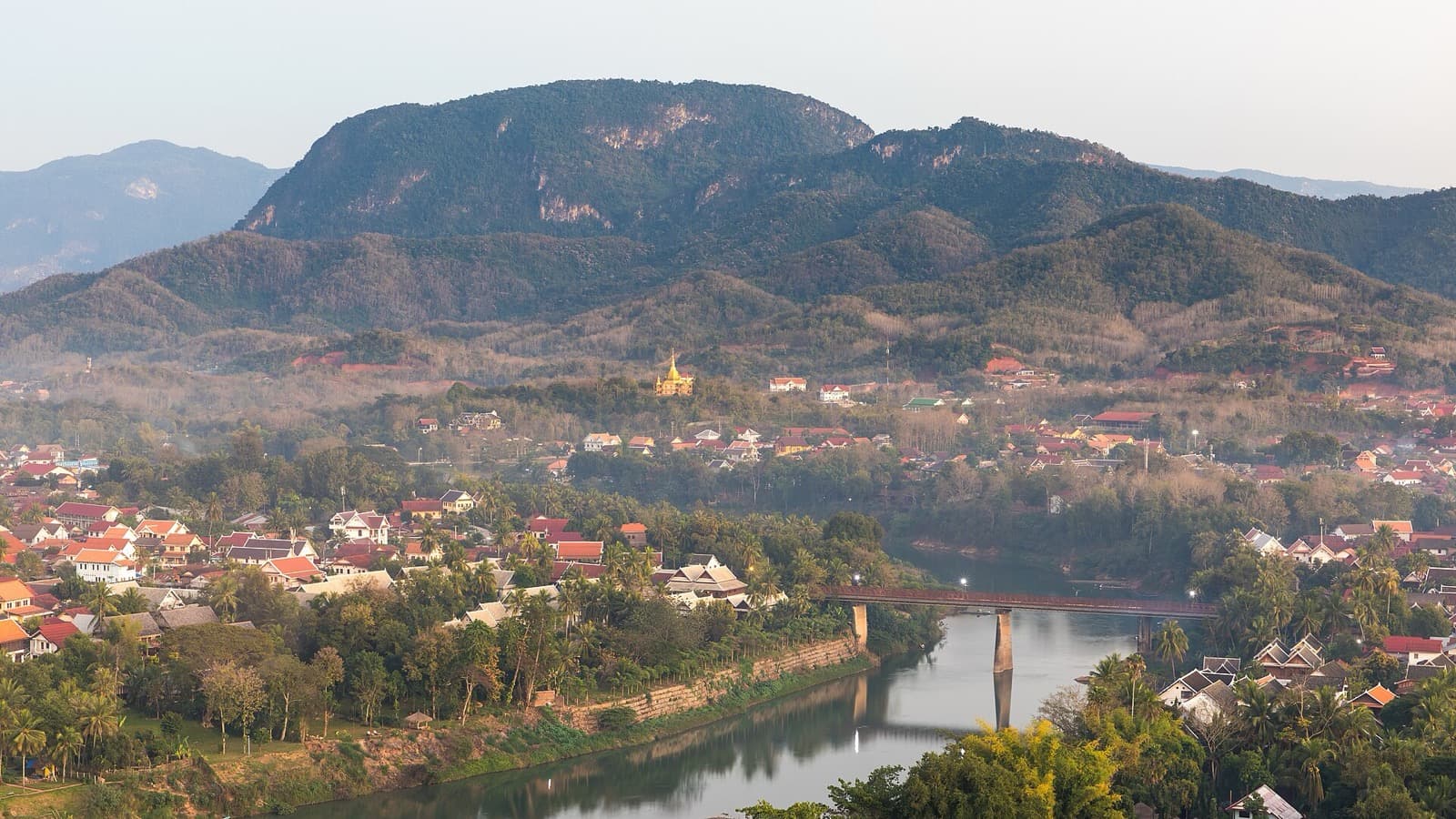
Stand on the summit platform of Mount Phousi, beside the gilded stupa of That Chomsi, and the whole royal town lays itself open below you. On one side runs the Mekong, wide and brown. On the other runs the Nam Khan, the smaller river. The two draw together at the tip of a narrow peninsula, and the old town of Luang Prabang stretches along that tongue of land, only about one kilometre long and about two hundred and fifty metres wide. From roughly one hundred metres up, you are not just looking at a pretty view. You are reading the geography that made this hill sacred and made a kingdom choose this exact spot.
What you are actually looking at
Most people climb Mount Phousi for sunset and treat the summit as a photo stop. It is worth slowing down, because the platform gives you something rarer than a nice sky. It gives you the logic of the town in one frame.
Look at the shape of the land first. The historic peninsula is a thin wedge held inside the confluence of two rivers. That is defensible ground: water on two sides, a single approach along the neck, and a holy hill in the middle to watch over all of it. A royal capital did not grow here by accident. It grew at a river junction, on protected ground, under the eye of a sacred rock. Once you see the confluence from above, the whole settlement pattern of the old kingdom of Lan Xang stops being abstract history and becomes something you can point at.
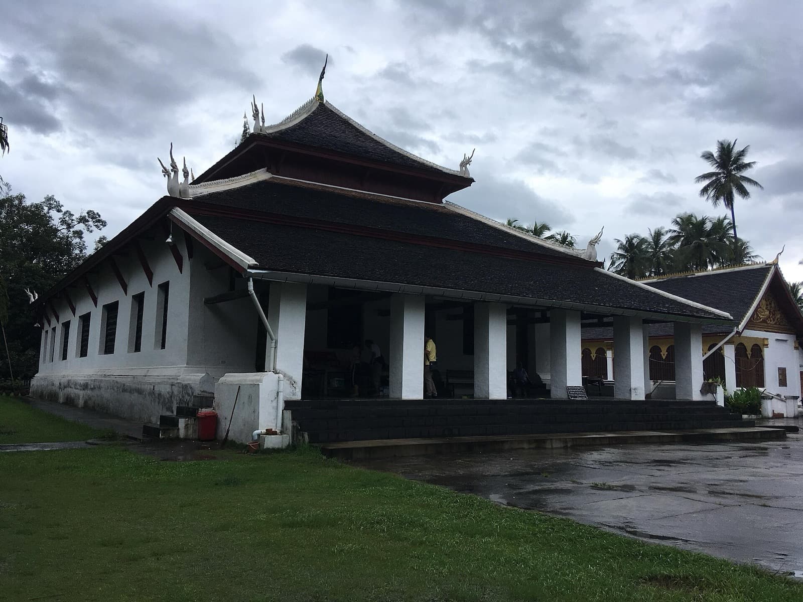
Then look at the roofs. They tell the town's story in tile and tin. The tiered temple roofs belong to the peninsula's monasteries, some of them centuries old, their eaves sweeping low toward the ground in the Luang Prabang style. Mixed among them are shuttered facades and shaded verandas, the domestic architecture of the French colonial period. From this height the two idioms sit side by side, temple and townhouse, Lao and European, and you can trace how they interleave street by street.
That blend is not incidental. The Town of Luang Prabang was inscribed on the UNESCO World Heritage List in 1995, and UNESCO records the reason plainly: the exceptional fusion of traditional Lao architecture with the European colonial buildings of the nineteenth and twentieth centuries. UNESCO counted six hundred and eleven protected buildings on this small peninsula. From the summit platform you are looking straight down at that living inventory. Every one of those roofs is a line item in a heritage listing, still lived in, still leaking woodsmoke at dinner.
The one thing to understand standing here
Hear a stop from this walk
The Stairway: A Few Hundred Steps to the Sky
Here is the single idea to carry down the hill: the view is not the reward, the view is the reason. People often talk about Mount Phousi as if the panorama were a bonus on top of the climb. It is closer to the truth to say the panorama is why the hill was ever sacred at all.
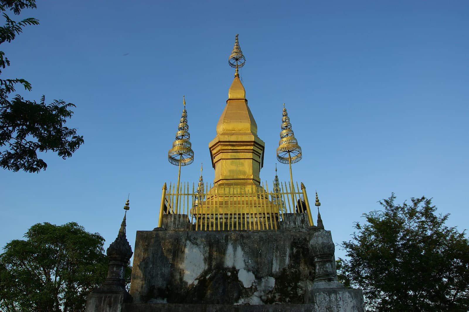
A holy hill at the centre of a river-bound capital is a very old idea in Southeast Asian kingship. The high point that sees everything, that everything below can see, becomes the axis of the town. That Chomsi, the stupa at your back, is the physical expression of it. Its gilded spire is the landmark of Luang Prabang, visible across the peninsula and lit at night, the golden point every eye finds from the streets. The stupa was built in 1804, during the reign of King Anourout, who ruled Luang Prabang from 1792 to 1819. It stands about twenty metres high on a rectangular base, tapering to a seven-tiered parasol and a golden spire. So the summit works in both directions at once. You look down and read the town, and the town looks up and reads the stupa. That reciprocity is the whole point of the place.
It also explains the rules. This is not merely a scenic overlook. There is a dress code, alcohol is not permitted at the summit, and foreign visitors pay a small ticket, about thirty thousand kip, collected near the top. Those rules are the town quietly telling you that you are standing on a sacred site with a stupa on it, not a viewing gallery.
Timing is the difference between two experiences
The honest catch: this is the town's most famous sunset spot, and the platform is narrow. At dusk it fills quickly with scheduled groups all arriving at the same golden hour, elbow to elbow at the railing. The view is the same, but the experience is not.
The freedom of doing this walk on your own clock is the entire advantage. The summit is open through daylight hours, roughly six in the morning to six in the evening. Come in the soft light just after it opens, when the two rivers are still hazed and the platform is nearly empty, or come well after the sunset queue has funneled back down the front steps. Either way you get the same panorama that a scheduled tour gets, plus something the tour cannot buy: time to stand at the railing and actually read the town instead of shuffling for a spot. The dry, cooler season from roughly November to February is the most comfortable window, since the stone steps turn slippery in the wet months.
Practically, the smart move is to climb the front stairway of about three hundred and twenty-eight steps from Sisavangvong Road, linger at the summit, then descend the longer eastern stairway of about three hundred and fifty-five steps down the quieter Nam Khan side. You come out among calm lanes by the smaller river, having beaten the crowd both up and down.
Walk it, don't just picture it
The summit is the climax of a short, steep, sacred climb, and it reads best as the payoff to everything below it: a painted temple at the foot of the hill, a cave shrine pressed into the living rock halfway up, a revered Buddha footprint, and the golden stupa itself. Each stop builds the meaning of the view you finally reach.
The self-guided Luang Prabang walking tours hub can point you to the full route, and the Mount Phousi audio tour walks you from the base to this platform at your own pace, with the geography explained as you climb. Set your own hour, take the quiet side down, and give yourself the confluence without the crowd. To plan the wider trip, start from the Luang Prabang city page.
Sources
- UNESCO World Heritage List, Town of Luang Prabang (inscription 1995, six hundred and eleven protected buildings, Lao and colonial fusion). The primary record for the town's heritage status and the reason for it.
- Wikipedia, Phou Si. Corroborates the roughly three hundred and twenty-eight front steps, the roughly one hundred metre hill, and That Chomsi built in 1804.
- Authentik Travel, Phousi Mountain guide. Documents That Chomsi's construction in 1804 under King Anourout and the summit's practical details.
- Tourism Luang Prabang, Phou Si Mountain. Local tourism authority record of the hill's temples, footprint shrine, summit stupa, the foreign-visitor ticket of about thirty thousand kip, and the six in the morning to six in the evening opening hours.
Ready to experience it?
Mount Phousi: The Sacred Hill Between Two Rivers
90 min · 2 km · moderate
More from Luang Prabang
Explore more at your own pace.
Luang Prabang Travel Guide: Days, Transport, Season, Safety, Budget
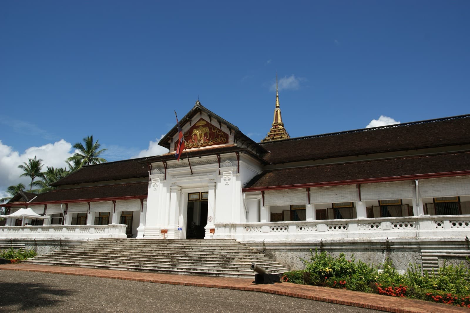
Luang Prabang: The Fusion Royal Town Between Two Rivers
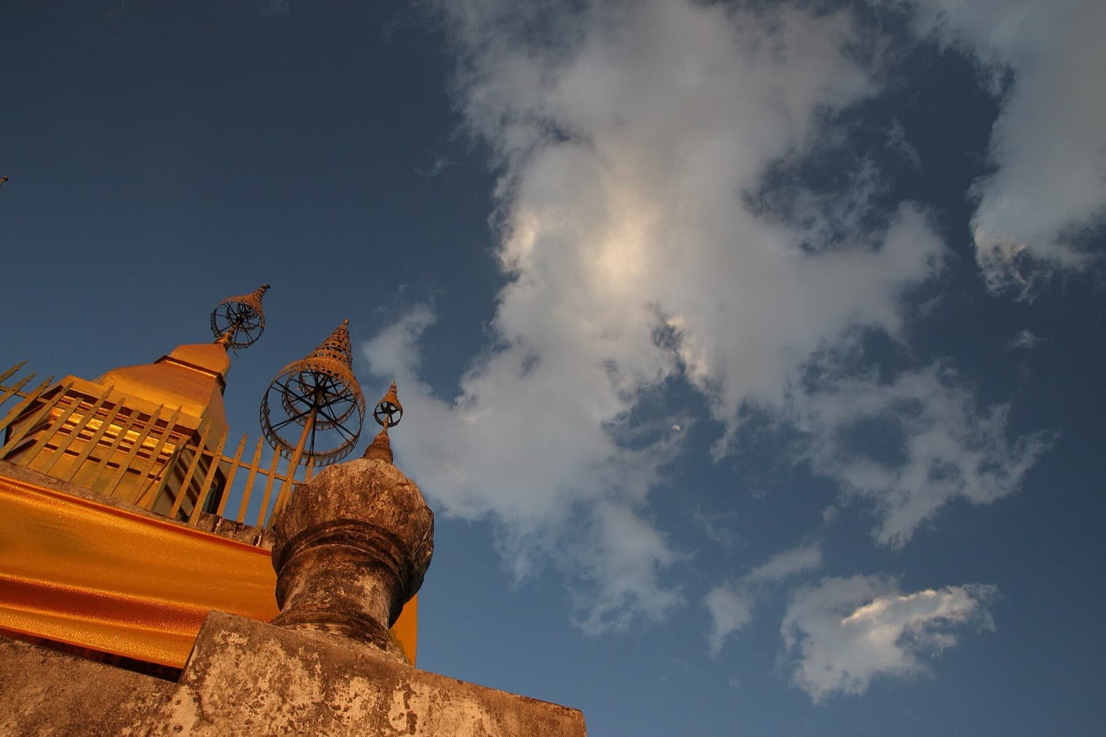
That Chomsi Stupa: Why the Golden Point Above Luang Prabang Reads the Whole Town
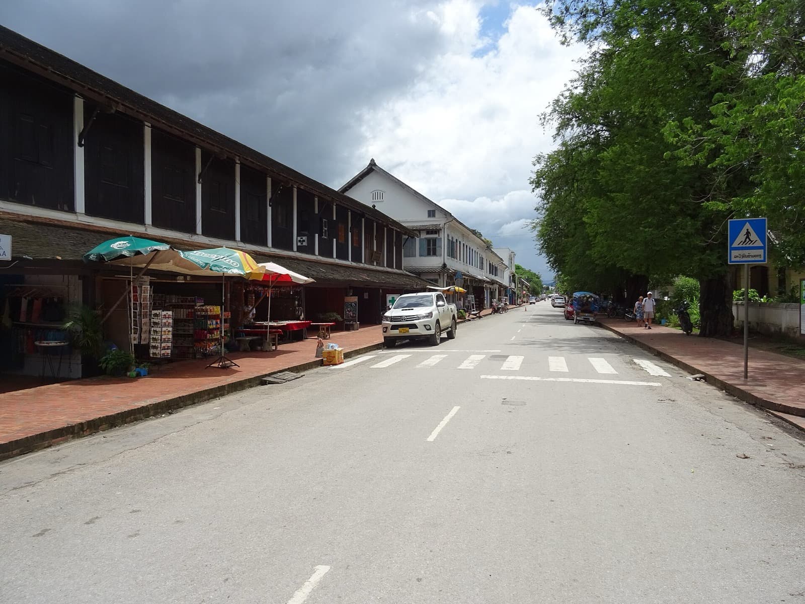
The Colonial Shophouses of Luang Prabang: The Fusion UNESCO Chose to Protect
The Royal Palace of Luang Prabang: Where a Kingdom Kept Its Last Throne