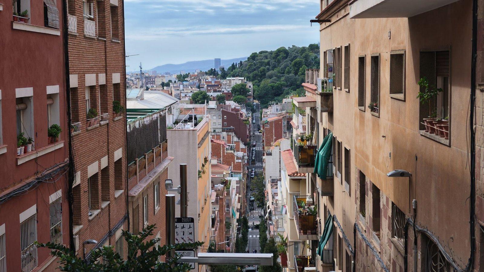
Gràcia was built one landowner's development at a time, each with a grid of narrow streets the owner named himself and a square the town asked for and rewarded with tax breaks. Park Güell, on the hill at the top, was the last and grandest of those private developments, and it failed: two houses of sixty. Most visitors ride straight to the park and miss the pattern it belongs to. Walk up through the squares first and the famous estate stops looking like a fantasy and starts looking like a real-estate project, one that did not sell.
The pattern: a farm, an owner, a grid, a square
Gràcia governed itself from 1850 until Barcelona absorbed it in 1897, and before that it grew farm by farm. The walk shows the recipe again and again. At Plaça de Trilla, a manor farmhouse squats lower than the flats around it; in 1825 its owner's widow asked to turn the estate into building land, and the streets around you are the answer. At Plaça del Diamant, a dealer in precious stones bought a long rectangle in 1850, cut it into 221 plots and, since the rules let an owner name his own streets, named them after his stock: Or, Robí, Topazi and, in the middle, Diamant. Read the street signs and you are reading a sales brochure.
Plaça de la Virreina repeats the pattern with a larger estate: the land of a viceroy of Peru's summer palace, the last piece of which, owned by the old city hospital, was laid out with 122 plots and this square, built in 1883. Plaça del Nord and Plaça de Rovira i Trias were both designed by the architect Antoni Rovira i Trias, who sits in bronze on a bench in the second one. At his feet is his plan for the Eixample, the city's great extension, which won the 1859 competition before Madrid imposed Ildefons Cerdà's grid instead.
What the squares remember
Hear a stop from this walk
Park Güell: The Main Gate
Not every square is about land. At Plaça de les Dones del 36, a blank party wall was rebuilt in 2020 with insulation, a vertical garden, solar panels and a mural of a militiawoman, honouring the women of the Civil War. Under Plaça del Diamant, neighbours dug an air-raid shelter more than twelve metres down during that war, and the city sealed it in May 1939. The square's name reached the world through Mercè Rodoreda's 1962 novel, and her heroine Colometa stands in bronze at its corner.
Up the hill, where the tram never came
The walk begins at Casa Vicens, Gaudí's first house, built from 1883 to 1885 as a summer villa when Gràcia was still a town of fields. Remember its iron railing of dwarf fan palm leaves. Then the land starts to rise.
In July 1899 Eusebi Güell took over the estate on the Muntanya Pelada, the Bare Mountain, and called it Park Güell, using the English word because he wanted a British-style residential park. It was the Gràcia formula grown grand: plots around a shared space, high above the city. The park's official history says Gaudí planned about sixty triangular plots, with rules that limited how much of each could be built and fixed every house so none would block a neighbour's view of the sea or sunlight.
Getting there was the problem. The tram reached Rovira i Trias's square in 1883 but never climbed Carrer de Larrard, which the city judged too steep for safe service in 1910. Walk the street yourself and you are the tram. The approach was also a street of modest houses, and the city's history museum suggests that this, rather than a grand avenue, helped keep Barcelona's high society away.
The works stopped in 1914 with two houses built. Güell died in 1918, the city agreed to buy the estate in May 1922, and it opened as a municipal park in 1926. The park's own history gives three reasons for the failure: no proper transport, the terms of sale and the estate's exclusivity.
The gate at the top
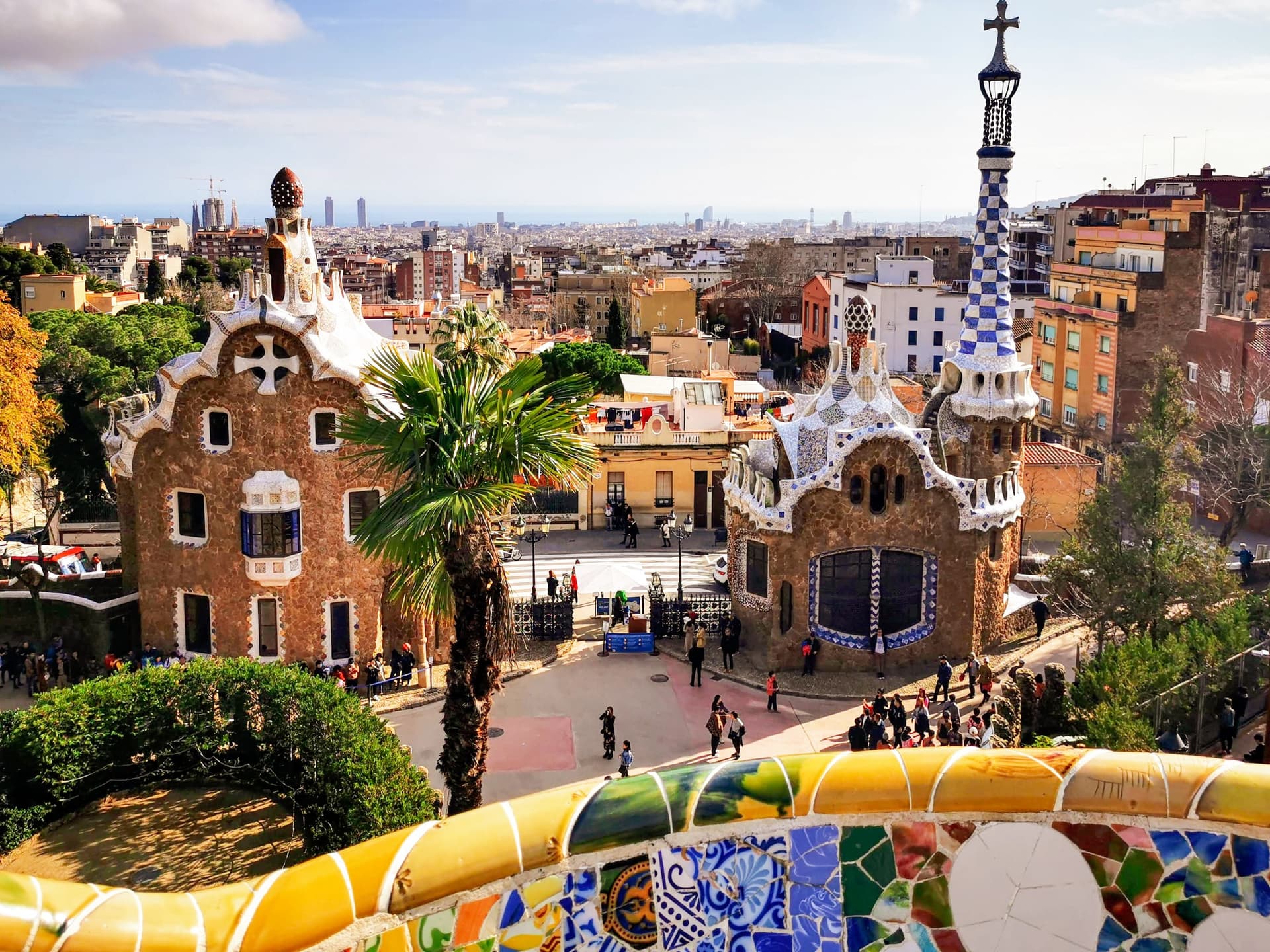
The walk ends across the street from the main gate. The stone wall carries medallions spelling Park and Güell, facing outward like an advertising sign. The two gatehouses with trencadís roofs are Gaudí's, standing by 1903. The iron gate of palm leaves came from Casa Vicens and was fitted here in 1965. The last development on the hill wears a gate borrowed from the first house on the walk.
Walking it yourself
It is ten stops over about 2.4 kilometres, roughly 75 minutes, climbing about fifty-five metres at the end, from stop 1 at Casa Vicens to stop 10 at the gate, on Park Güell and Gràcia: Village Squares to Gaudí's Gate. The park itself is ticketed by timed slot, and the walk works with a ticket or without, so you can time your climb to your slot or simply stop at the gate. Take the squares at your own pace and keep voices low; people live here. The Barcelona city page has more.
Sources
- Park Güell (Ajuntament de Barcelona), "Over a hundred years of history": https://parkguell.barcelona/en/park-guell/over-hundred-years-history . The English residential park model, about sixty triangular plots and their building rules, works abandoned in 1914 with two houses, Güell's death in 1918, the city's purchase agreed on 26 May 1922, opening in 1926, and the reasons for failure.
- Casa Vicens: https://casavicens.org/ . Casa Vicens presented as Gaudí's first house.
- The tour's audited research (Roamer Park Güell and Gràcia rebuild, October 2026): MUHBA's study of the park's origins, the Gràcia district history of La Virreina, the city's street-name register, and the Generalitat heritage inventory for Casa Vicens and Can Trilla.
Ready to experience it?
Park Güell and Gràcia: Village Squares to Gaudí's Gate
75 min · 2.4 km · moderate
More from Barcelona
Explore more at your own pace.
Barceloneta and Port Vell: Walking the City's Moving Edge of the Sea
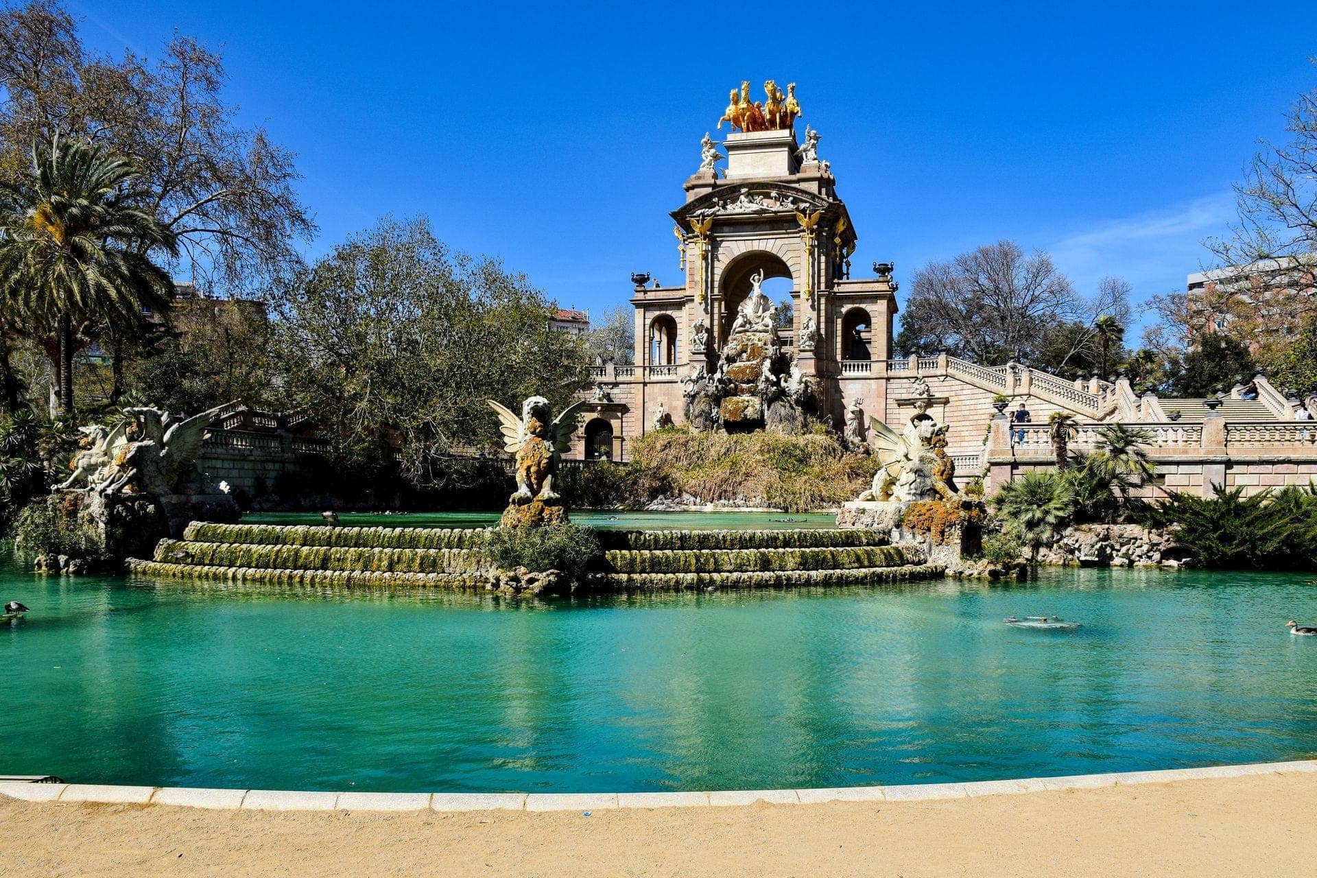
Ciutadella Park: A Fortress Turned Inside Out Into a Science Garden
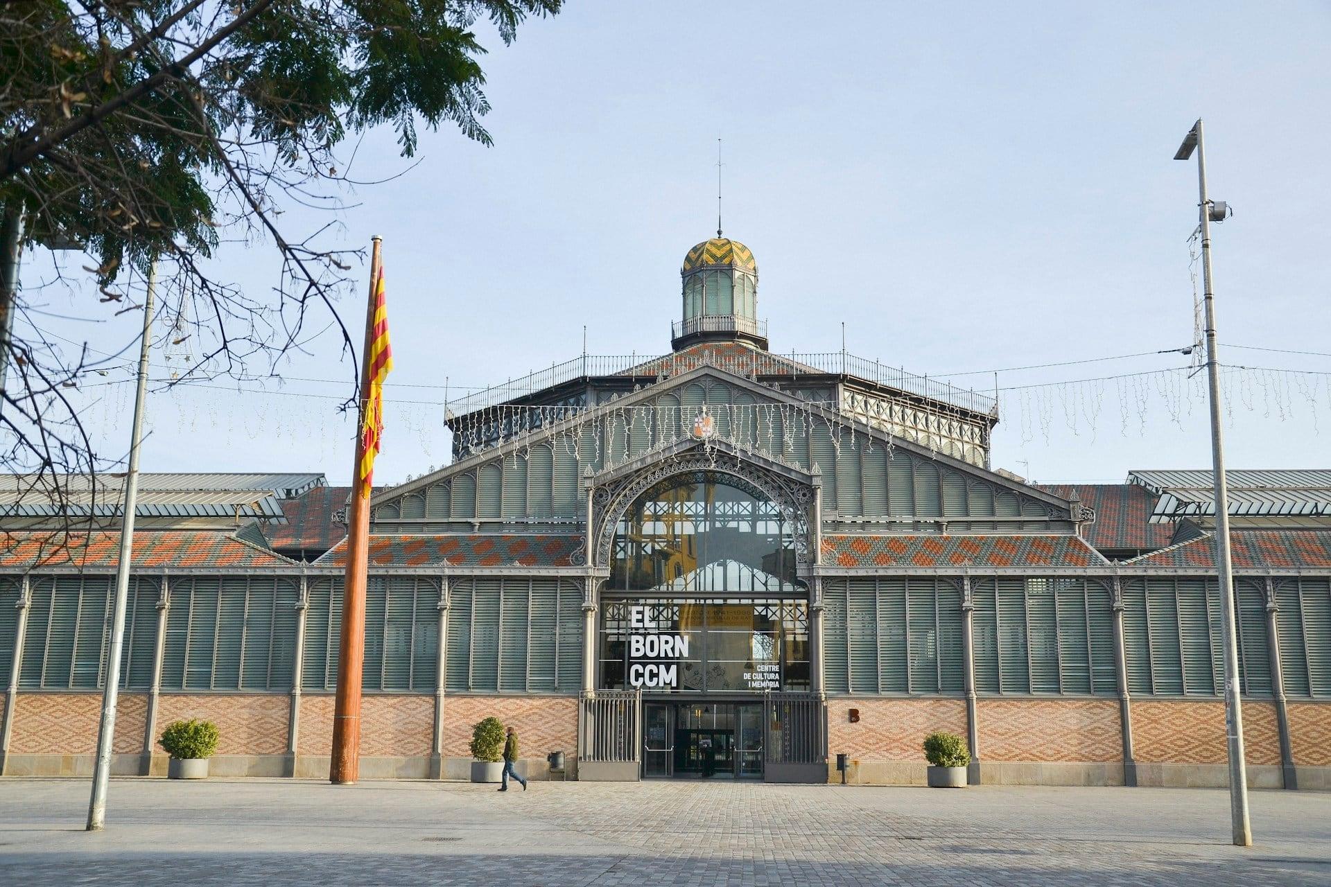
El Born: The Sea Quarter That Paid for Its Landmarks and Lost Its Streets
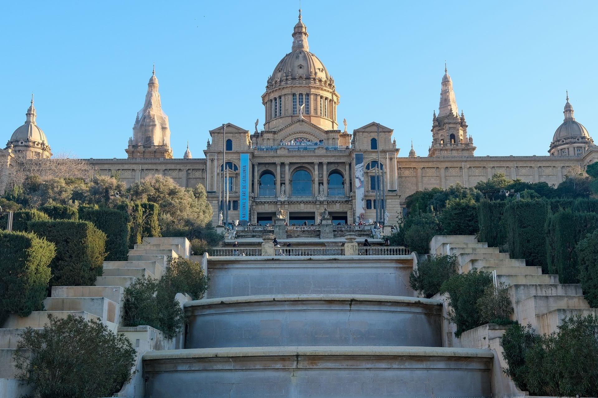
Montjuïc's World's Fair Stage: Reading the 1929 Axis From Gate to Palace
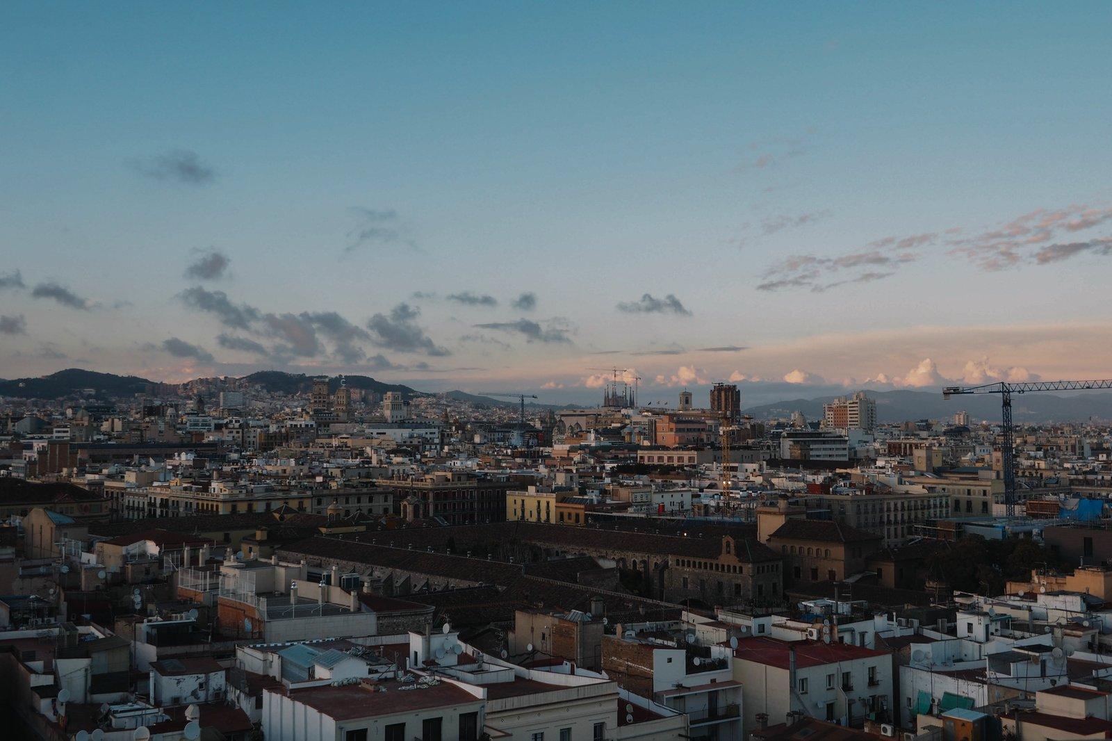
Sagrada Família and Sant Pau: Reading a Basilica One Side at a Time, Then Walking to the Hospital