Madrid walled its river in granite, held it in ponds and then hid it behind a motorway. For most of the last century the Manzanares was something the city drove past rather than walked beside. Putting the M-30 ring road into tunnels and opening the weirs gave Madrid its river back, and the Madrid Río walk reads that story in layers: a Baroque chapel where the city once came down to the water, two stone bridges, a concrete laboratory for studying rivers, a promenade of pines planted on a motorway roof, and a royal fountain that moved one last time when the road went under.
The river the city came down to
The walk starts at the Ermita de la Virgen del Puerto, a small brick and stone chapel with slate spires that Pedro de Ribera built between 1716 and 1718 for the Marquis of Vadillo, who ran the city for the king. It stands here because this was where Madrid met its river. The bank below was the working ground of the women who washed the city's laundry in the Manzanares, and the marquis founded a school here for their children.
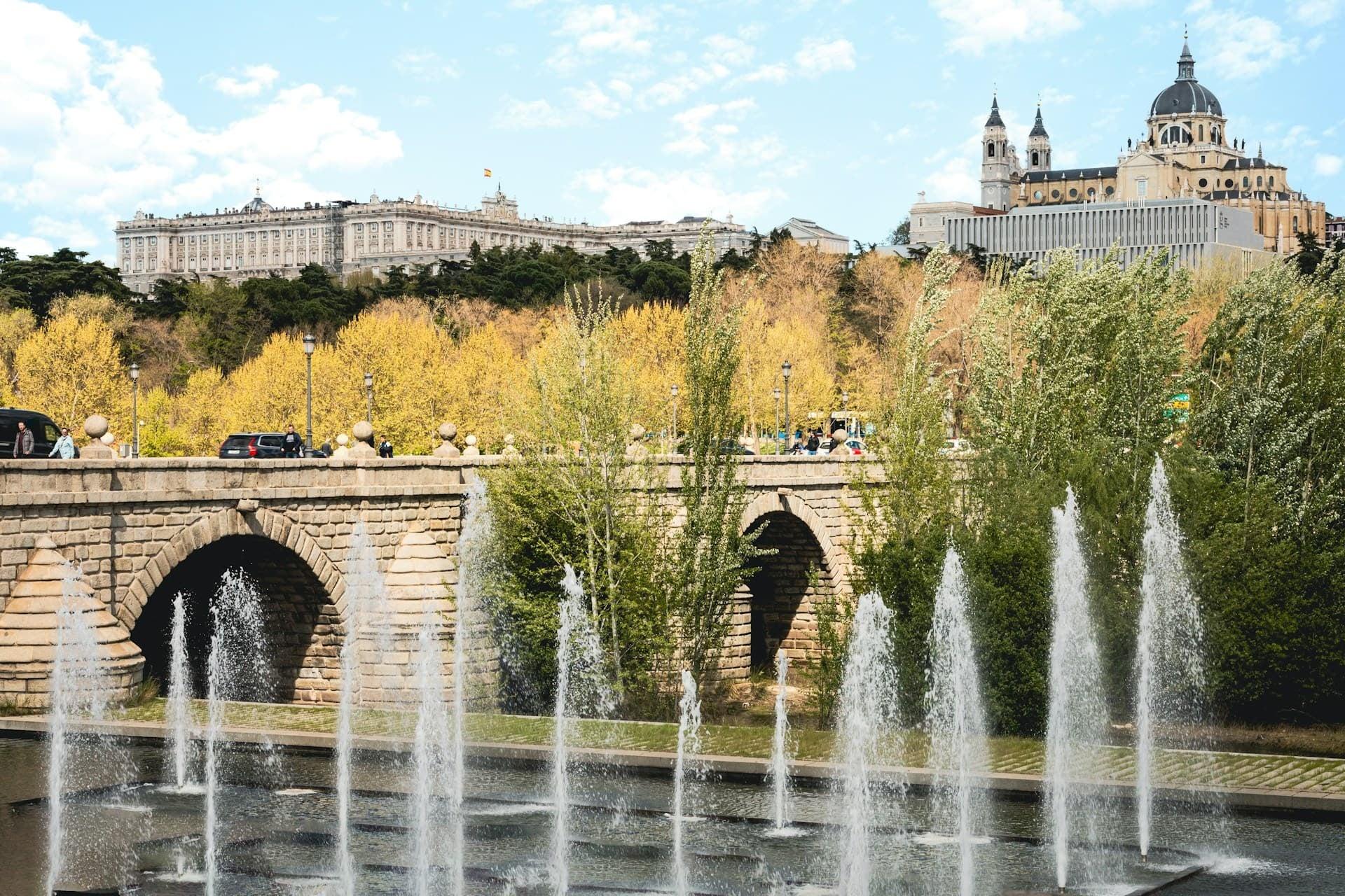
A few minutes downstream is the Puente de Segovia, the oldest bridge in the city. King Philip the Second ordered it in 1574, and when its first architect died with only the foundations in place, Juan de Herrera, the architect of El Escorial, took over. Herrera made the road dead level instead of the old humped medieval profile, and because the piers were already built, the arches kept their different widths. You can read the redesign in the keystones: away from the middle arch, each one sits a little lower beneath the line of the deck.
Engineers take over
Hear a stop from this walk
Fuente Castellana: The Fountain That Moved
Then the river became an engineering problem. Between the 1920s and the 1980s weirs and channels turned the Manzanares, in the city's own words, into less a river than a line of ponds. In the 1950s it was walled in granite blocks. Across the water from the path stands a perfect symbol of that era: Miguel Fisac's laboratory for Spain's Center for Hydrographic Studies, finished in 1963, a long hall of bare concrete where engineers built scale models of rivers and dams, beside a river engineers had turned into a canal.
From the 1970s the M-30 ring road ran along both banks. The park's project director later described the river it left behind as isolated, inaccessible and invisible.
Putting the road underground
In 2003 the city decided to bury the motorway. The tunnels opened in 2007, and the park on top, Madrid Río, opened in April 2011. Stand on the Salón de Pinos and you are standing on the roof of the M-30. The designers planted about eight thousand pines on it and folded the tunnels' machinery into the landscape: ramps, air filters, fans, emergency exits. A grille or a small windowless building beside the path may well belong to the road below.
Further on, the old Vicente Calderón stadium once had the motorway running under its west stand. It was demolished in 2020, the last stretch of road there was covered, and in December 2024 the ground opened as the Parque Atlético de Madrid, with a long lawn that keeps the memory of the pitch.
Letting the river move
The second half of the story happened in the water. In 2016, on an idea from the environmental group Ecologistas en Acción, the city opened the gates of the weirs on this stretch and then left the river alone. Within months the current was building gravel bars and small islands, and willows and ash were seeding themselves on them. The granite walls stay, so this is not a wild river, but it moves again. By 2018 more than fifty bird species had been counted along it, herons and kingfishers among them.
Bridges for people
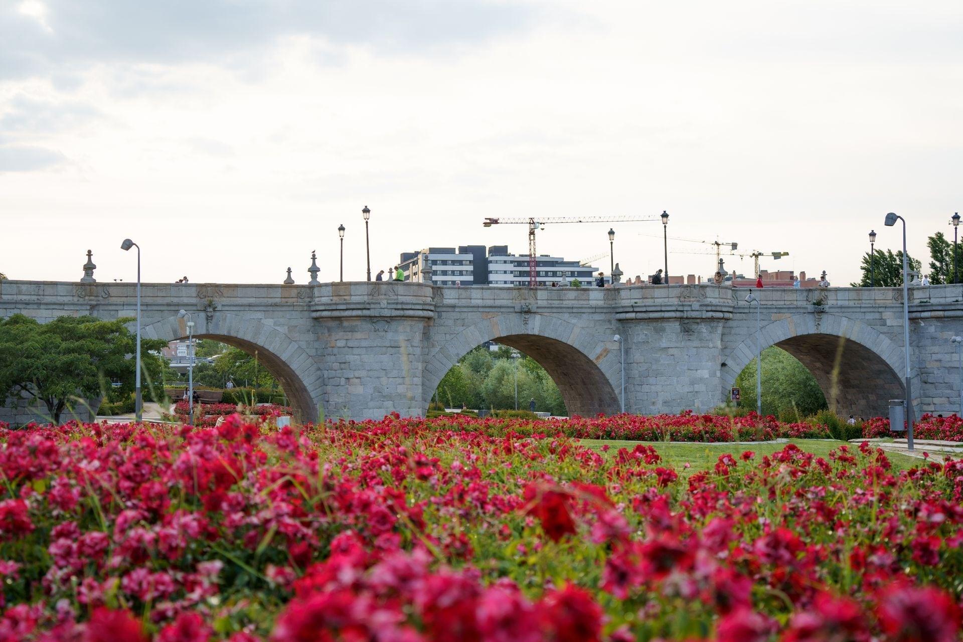
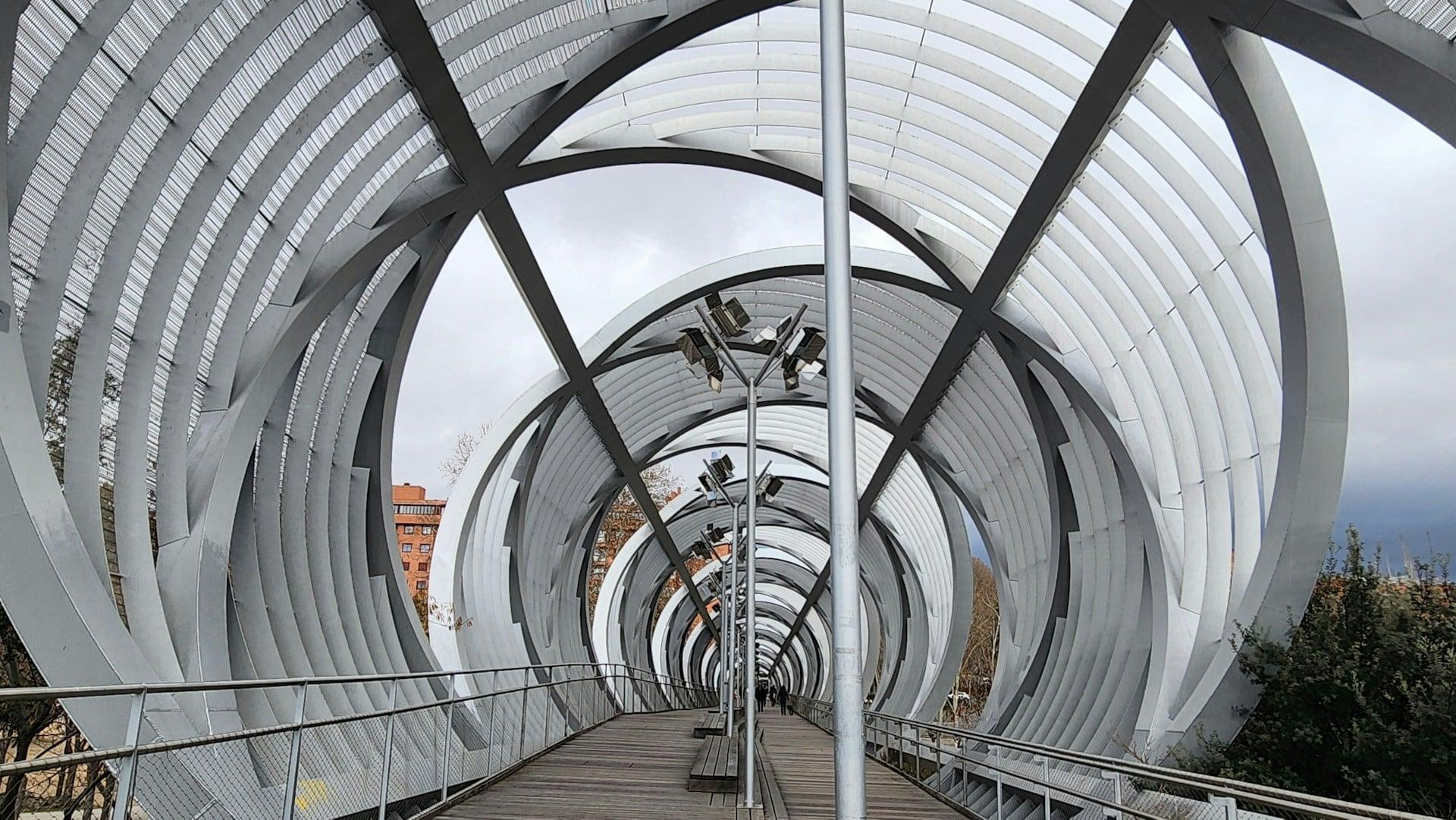
Two bridges sum up the change. Pedro de Ribera's Puente de Toledo, built in the 1720s with stone shrines to San Isidro and Santa María de la Cabeza over its central arch, lost its traffic to two new bridges beside it in the motorway works of 1972 to 1974 and has belonged to walkers ever since. Dominique Perrault's Arganzuela footbridge, opened in 2011, goes further: two offset steel cones wrapped in mesh, carrying only people and bicycles, made to be walked through rather than over. The roads run underneath, out of sight.
The walk ends at the Fuente Castellana, a royal fountain ordered for the birth of the future Isabel the Second, raised in 1833 and moved from square to square across Madrid. When Madrid Río was built it moved once more, a short way, to the path where it stands today.
Walking it
The tour is ten stops over about 3.4 kilometers, around an hour and a quarter, flat and downstream all the way, from the chapel near Príncipe Pío to the Arganzuela park. Nothing on it is ticketed. It suits a slow, self-paced walk: stop at the weir to watch for a heron, sit under the pines, or cut the walk short at the Puente de Toledo, where Marqués de Vadillo Metro is close by.
The walk begins at stop 1 of Madrid Río: The City Gets Its River Back, at the Ermita de la Virgen del Puerto. See every route on the Madrid page.
Sources
- esmadrid, Madrid Río: the park along the Manzanares over the buried M-30, its bridges and its riverside spaces.
- esmadrid, Puente de Segovia: the bridge ordered by Philip the Second and Herrera's design.
- esmadrid, Puente de Toledo: Ribera's bridge, its nine granite arches and shrines, the 1956 protection, the 1972 to 1974 motorway works that closed it to traffic.
- esmadrid, Ermita de la Virgen del Puerto: Ribera's chapel for the Marquis of Vadillo.
Ready to experience it?
Madrid Río: The City Gets Its River Back
75 min · 3.4 km · easy
More from Madrid
Explore more at your own pace.
Barrio de las Letras: Madrid's Writers' Quarter in Three Layers
Gran Vía: How Madrid's Great Way Grew Wider and Taller as It Was Cut
Malasaña and Chueca: Madrid's Old Northern Edge, Taken Back by the City
Edificio Carrión: The Curved Corner at Callao and the Sign That Stayed
Plaza de las Cortes: Cervantes, His Lion and the Congreso Lions