The +15: A City That Moved Indoors
66 min · 2.6 km · easy
Calgary does not hide what built it. Read the downtown skyline and you are reading the crude-oil price. Look for where the sidewalks went and you find them fifteen feet up, threaded through the buildings. Walk to the rivers and you reach the exact patch of ground the whole city grew out of, a patch it has abandoned and reclaimed more than once. Three physical layers, one story: a city that keeps rebuilding itself on the boom, and keeps leaving the evidence in plain sight.
The skyline is a chart of the oil price
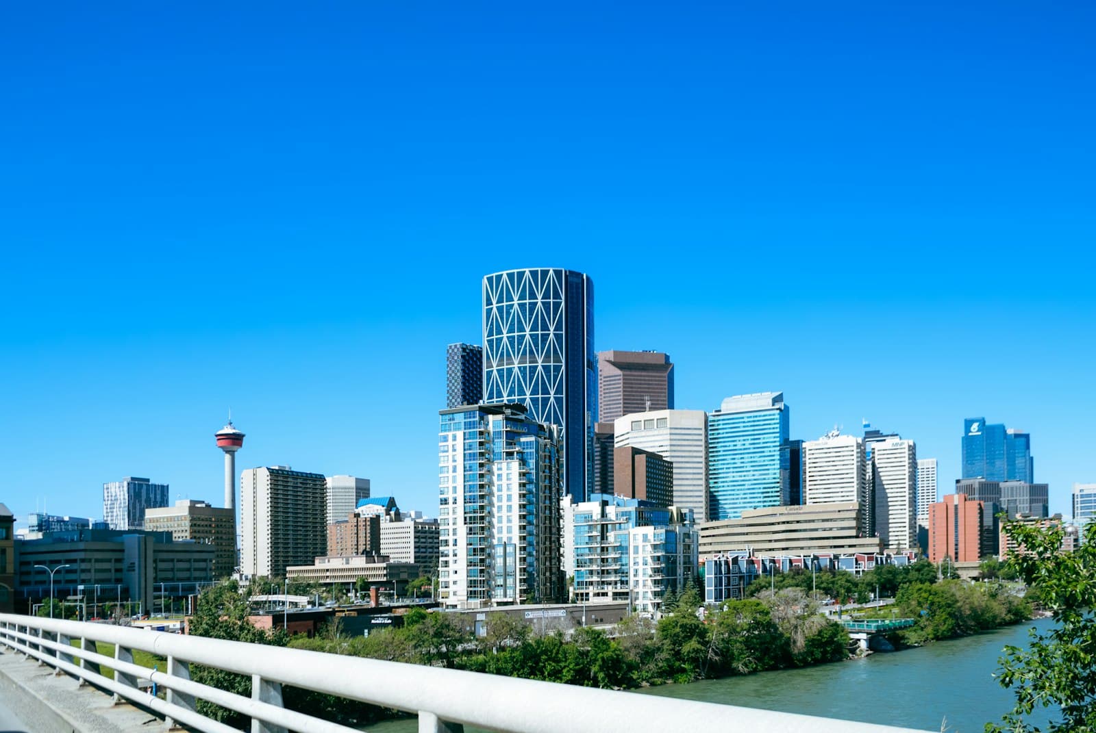
Start with the towers, because they are the most literal record. Downtown Calgary's largest buildings are monuments to the oil-and-gas industry, and if you line them up by completion date against the price of crude, a pattern falls out. The big towers get commissioned near the top of an oil-price cycle, when the money and the confidence are highest, and they get delivered years later, into the next downturn. By the time the ribbon is cut, the boom that paid for the building is already over.
The Bow, the 236-metre crescent designed by Foster + Partners and completed in 2012, is the clearest case. It was conceived in the mid-2000s boom and topped out as the tallest building in Calgary. Bankers Hall, Suncor Energy Centre, Eighth Avenue Place: the same logic runs through them. The skyline is a lagging indicator. Its tallest buildings are not monuments to the booms that inspired them but to the busts that caught up with them. That is the reading the Balance Sheet Skyline tour walks, tower by tower, down through the downtown core into the Beltline.
The downtown moved up a level
Hear a stop from this walk
Olympic Plaza
The second layer is harder to see from a photograph because it is indoors. Calgary winters are long and cold, and in 1970 the city opened a solution: the +15, a network of enclosed pedestrian bridges roughly fifteen feet above the street. It was conceived by architect Harold Hanen, who worked in the Calgary Planning Department in the late 1960s, and it grew into the most extensive pedestrian skywalk system in the world, linking around 130 buildings across 86 bridges.
The +15 did something quietly radical. It moved a large share of downtown foot traffic up off the sidewalk and into a second, private, climate-controlled city one storey above the first. On a January afternoon you can cross the entire core, buy lunch, and get to your office without stepping outside once, and the street below empties out. The +15 tour climbs into that upper city and comes back down to Stephen Avenue, the pedestrian mall that never surrendered the ground floor, to show you both Calgarys at once.
The confluence the city keeps leaving
The third layer is the oldest, and it is a story about memory. Calgary began in 1875 as a log fort the North-West Mounted Police built at the seam where the Bow and Elbow rivers meet. It was called Fort Calgary. Long before that, the confluence was a gathering place for Indigenous peoples for thousands of years. In 2024 the historic site was rebranded from Fort Calgary to The Confluence, to put that older and deeper history first.
What is striking is how many times the city has walked away from its own birthplace and then come back. The fort was demolished. The land became a rail yard, an industrial edge, a place the growing city turned its back on. The oldest buildings that survive nearby, the 1876 Hunt House and the 1906 Deane House, survived almost by accident, one because it was too small to bother tearing down, the other because it was physically hauled across the Elbow River in 1929. Just east, Inglewood became Calgary's oldest street and stayed intact precisely because the city's restless money kept moving on to the next thing without it. The confluence is where you see the pattern most plainly: a city that keeps building the future and abandoning the ground it came from, then circling back to reclaim it.
The self-image, performed for ten days a year
If oil is what Calgary is, the cowboy is what Calgary chose to be. Every July the city stages the Calgary Stampede, a ten-day frontier spectacle first mounted in 1912 by an American promoter, Guy Weadick, and bankrolled by four wealthy cattlemen. Canada's oil-and-gas capital spends those ten days performing a cattle-town past on ground the show itself spent decades buying out and paving over. The Stampede tour walks the seam between the myth and the neighbourhood it replaced.
Put the layers together and Calgary stops looking like a generic prairie boomtown and starts looking like a city that wears its economics on the outside. The towers are the boom made visible. The +15 is the winter made survivable. The confluence is the memory the city keeps mislaying and finding again. And the Stampede is the story Calgary tells about itself while the oil price does the actual work. You can walk all four in an afternoon, at your own pace, and read the whole argument off the ground.
To pick a route, start with the best self-guided walking tours in Calgary or the architecture walking tours.
Frequently asked questions
- Why is Calgary's skyline the way it is?
- Calgary's tallest towers are monuments to the oil-and-gas industry, and they track the crude-oil price. Major buildings such as The Bow, Bankers Hall and Suncor Energy Centre were commissioned near the top of an oil-price cycle and delivered into the next downturn, so the skyline reads as a lagging indicator drawn in glass and steel.
- What is Calgary's +15 network?
- The +15 is the world's most extensive enclosed pedestrian skywalk system, designed by architect Harold Hanen and opened in 1970. Its walkways sit about 15 feet above street level, and as of 2022 it linked roughly 130 downtown buildings across 86 bridges, letting people cross the core without stepping into the winter.
- What is The Confluence in Calgary?
- The Confluence is the site at the meeting of the Bow and Elbow rivers where the North-West Mounted Police built Fort Calgary in 1875 and where Indigenous peoples gathered for thousands of years before that. The historic park was rebranded from Fort Calgary to The Confluence in 2024 to foreground its Indigenous history.
- Is Calgary worth exploring on foot?
- Yes. Calgary's downtown, Beltline, Inglewood and Kensington districts are compact and walkable, and Roamer's five self-guided audio tours run about 66 to 97 minutes each. You set the pace, start any tour free, and can read the city's oil-boom layers stop by stop.
Ready to experience it?
The +15: A City That Moved Indoors
66 min · 2.6 km · easy
More from Calgary
Explore more at your own pace.
Inglewood and the Confluence: Two Sides of One River, Two Kinds of Memory
The +15: How Calgary Built a Second City Fifteen Feet Up
The Balance Sheet Skyline: Reading Calgary's Towers as an Oil-Price Chart
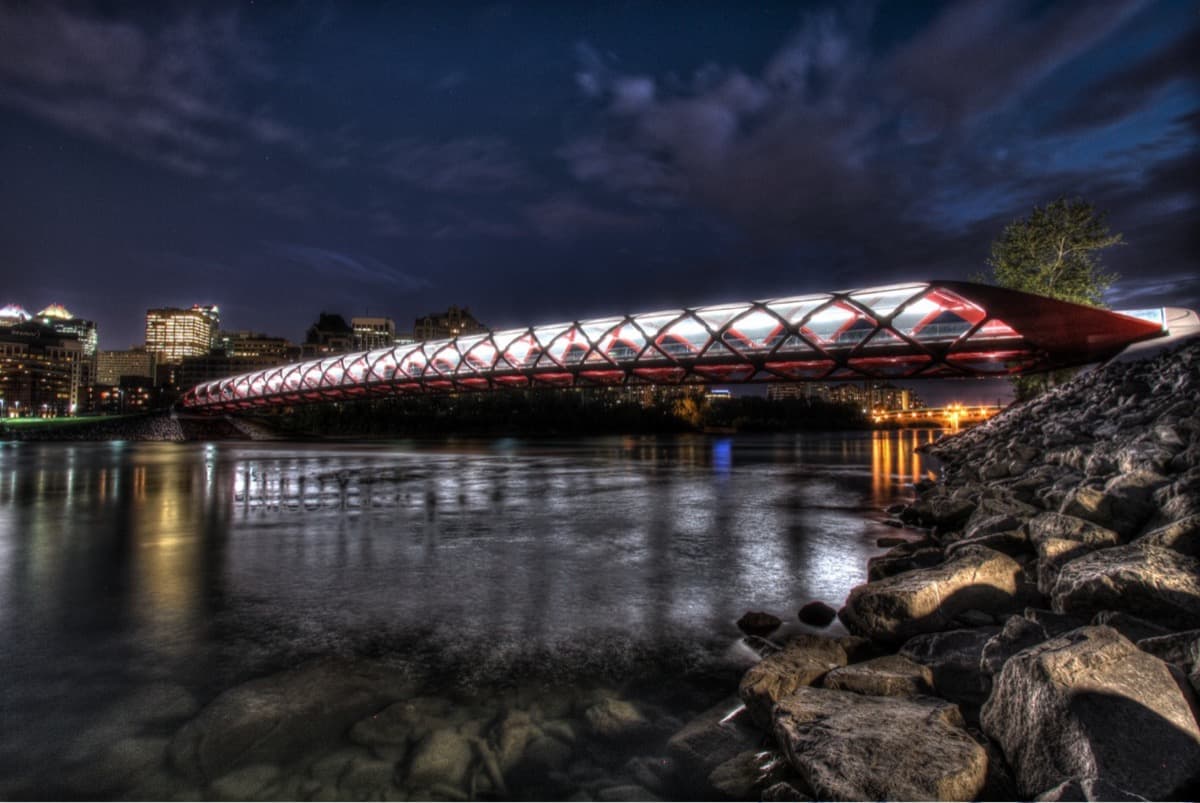
The Bridge Calgary Argued About: Crossing Between Two Calgarys
Inglewood: Calgary's Oldest Neighbourhood Turned Maker District