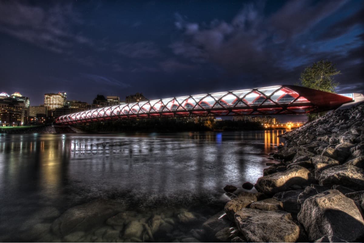
The Kensington tour is built around one crossing. Somewhere in the middle of the walk you step onto the Peace Bridge, the red-and-white helix that spans the Bow River, and on the far side the city changes character. Behind you are the glass towers of the oil-and-gas downtown. Ahead is Kensington and Sunnyside, a walkable low-rise district with a longer memory. The bridge is the seam, and the story of how it got built is the story of what Calgary argues about.
The bridge nobody bid against
The Peace Bridge was designed by the Spanish architect and engineer Santiago Calatrava, and it opened on 24 March 2012. Its final cost came to about $24.5 million, made up of roughly $19.8 million for construction plus design, administration, and insurance. It arrived late.
What made it contentious was less the money than the process. The design was single-sourced to Calatrava rather than opened to a competitive bid, and the decision drew years of public argument in a city that likes to know its money was spent competitively. The bridge became a lightning rod: too expensive, too foreign, too imposed. And then, gradually, Calgary fell for it. The red helix photographs beautifully, it is genuinely pleasant to walk through, and it did exactly what a footbridge is supposed to do, which is knit two riverbanks together. The tour does not resolve the argument so much as let you stand inside it.
Two banks, two Calgarys
Hear a stop from this walk
The Peace Bridge
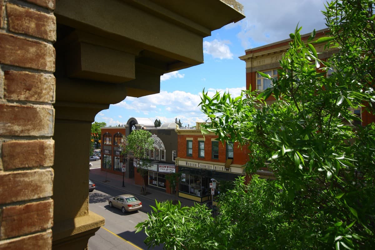
Cross the bridge and the tour's larger point comes into focus. The south bank is the downtown of the oil-price skyline, a vertical city of corporate towers. The north bank is Kensington: a main street of independent shops, Sunnyside's residential grid, Riley Park's green, and the Bow River pathway that carries walkers and cyclists along the water. One side went up; the other stayed at a human scale and kept its street life.
The walk begins at Prince's Island Park, an island in the Bow that gives you the establishing shot with the towers behind you and the red bridge downstream. From there it works the north bank, past Poppy Plaza and the Calgary Soldiers' Memorial along Memorial Drive, before pulling back on the Bow pathway to look at the whole scene. It is a tour about a boundary, and the bridge is where the two Calgarys touch.
Where this fits
The Peace Bridge argument is a small, sharp version of a bigger pattern: Calgary keeps building on the boom and keeps debating what it is becoming. The tower side of that story is the Balance Sheet Skyline tour; the founding-river side is the Inglewood and Confluence walk. The full narrative angle is in Calgary: the city the oil price built and rebuilt.
The tour runs about 96 minutes over 4.9 km with eight stops, and it is free to start: the introduction and first stop play in full, and every later stop plays a short preview. To compare Calgary's routes, see the best self-guided walking tours in Calgary.
Ready to experience it?
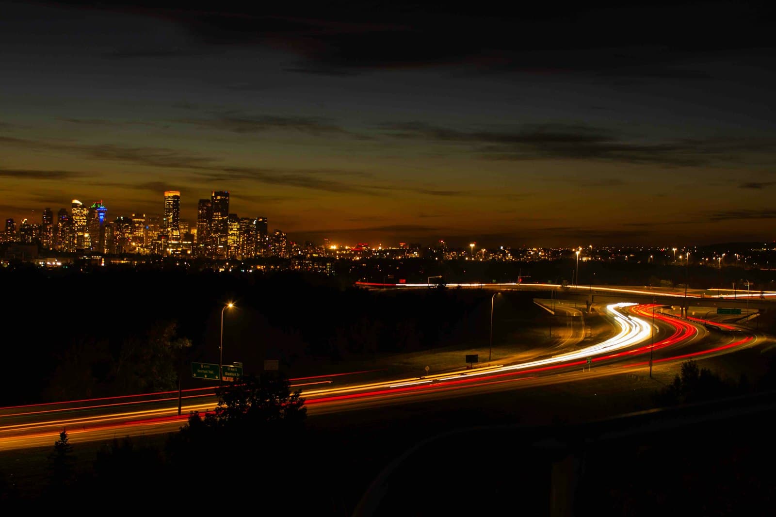
Peace Bridge and Kensington: The Bridge Calgary Argued About
96 min · 4.9 km · easy
More from Calgary
Explore more at your own pace.
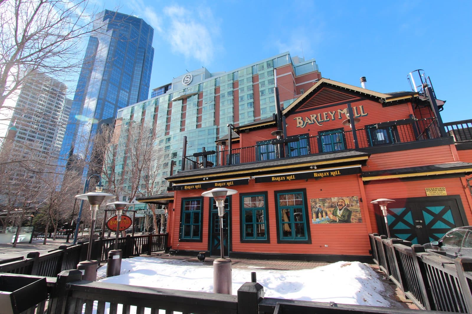
Calgary: The City the Oil Price Built and Rebuilt
Inglewood and the Confluence: Two Sides of One River, Two Kinds of Memory
The +15: How Calgary Built a Second City Fifteen Feet Up
The Balance Sheet Skyline: Reading Calgary's Towers as an Oil-Price Chart
Inglewood: Calgary's Oldest Neighbourhood Turned Maker District