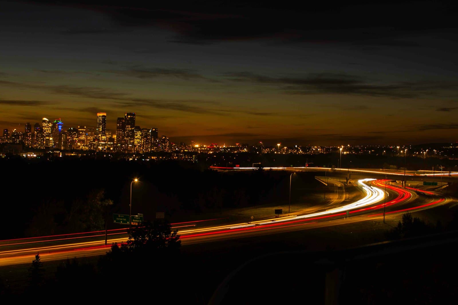
The Bridge Calgary Argued About
How Calgary spent twenty-four and a half million dollars on a red Calatrava footbridge it never let anyone bid against, argued over for years, then quietly fell for, and what crossing it reveals about a city split between oil towers and a walkable, remembering north bank.
4.44|96 minutes|4.9 km|8 Stops
Start
Prince's Island Park
1
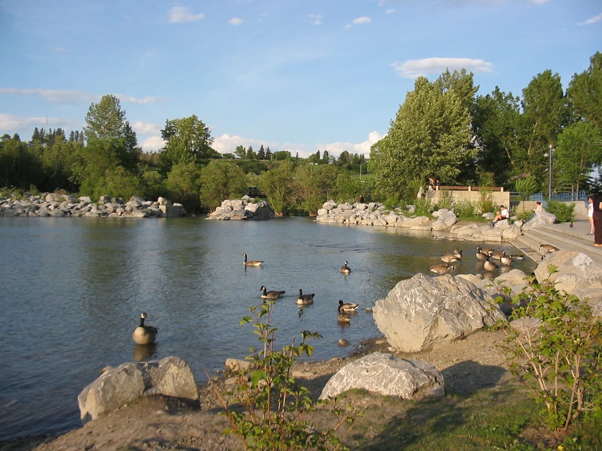
Prince's Island Park
The establishing shot: an island in the Bow with the office towers behind you and the red bridge downstream, standing on the seam between two Calgarys.
2
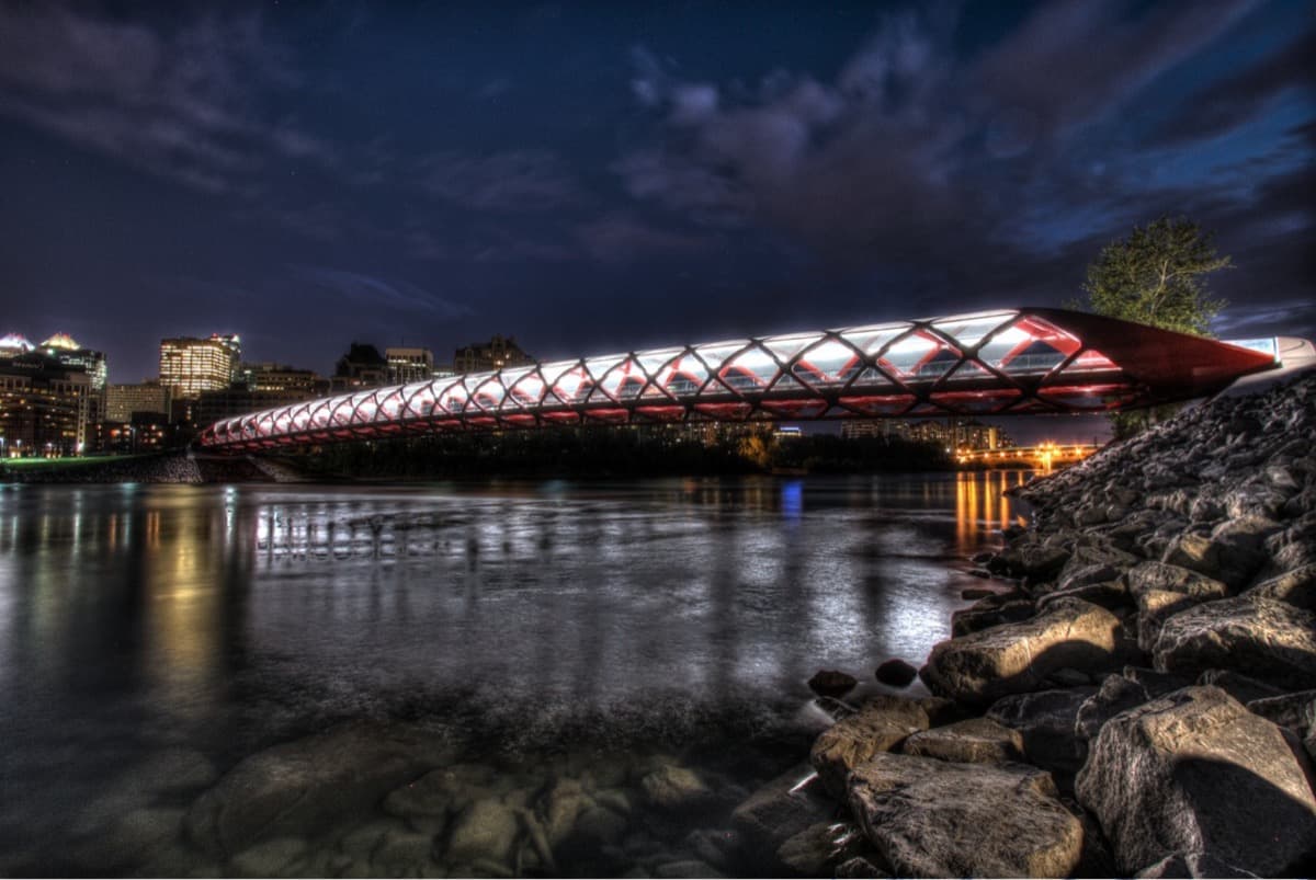
The Peace Bridge
The protagonist: a red-and-white Calatrava helix over the Bow, the single-sourced design, the overruns, the late opening, and the rule change afterward.
3
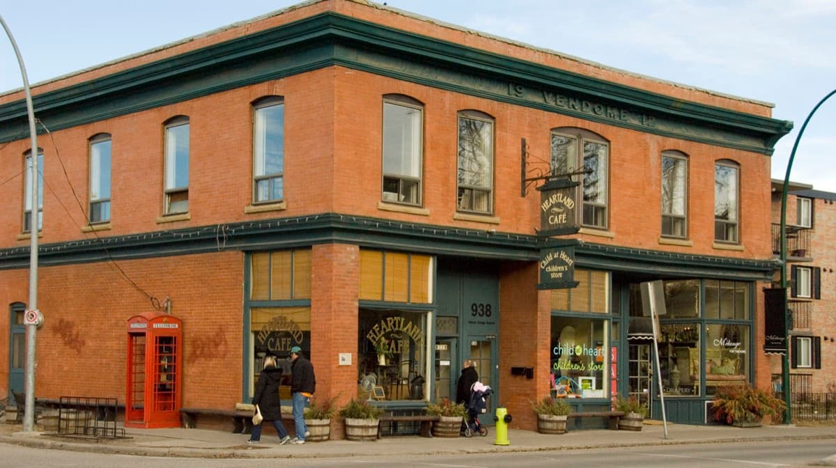
Sunnyside: The North Bank
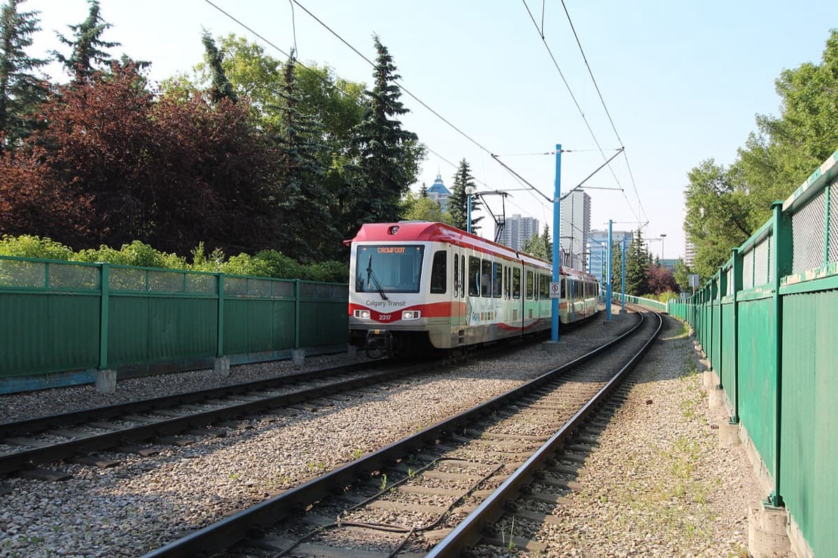
The far bank, the counter-downtown: a walk-and-transit neighbourhood served by the C-Train since 1987, and the community the Bow flooded in June 2013.
4
Kensington Main Street (10 St NW / Kensington Rd)
The walkable heart: low-rise, independent, deliberately everything the tower-canyon downtown is not, and the kind of place Calgary keeps saying it wants more of.
5
Riley Park
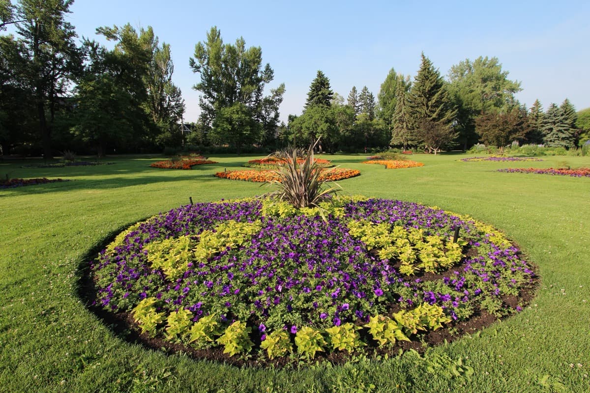
Old Calgary's green room: former Riley ranch land given to the city in 1910, with a wading pool since 1913 and cricket pitches since 1919, the settled city before the towers.
6
Poppy Plaza
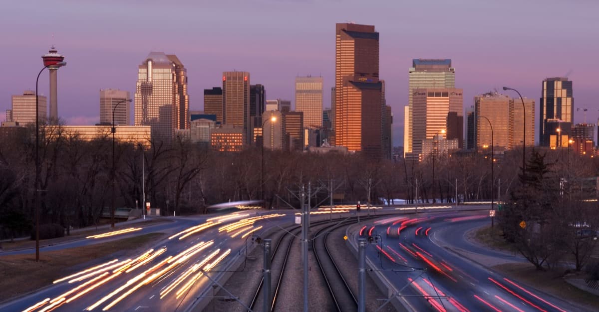
The quiet counter-argument: a weathering-steel plaza of backlit water-jet-cut quotes, designed by the local Marc Boutin Architectural Collaborative, proof the city can design its own landmarks.
7
Calgary Soldiers' Memorial & the 1922 Trees
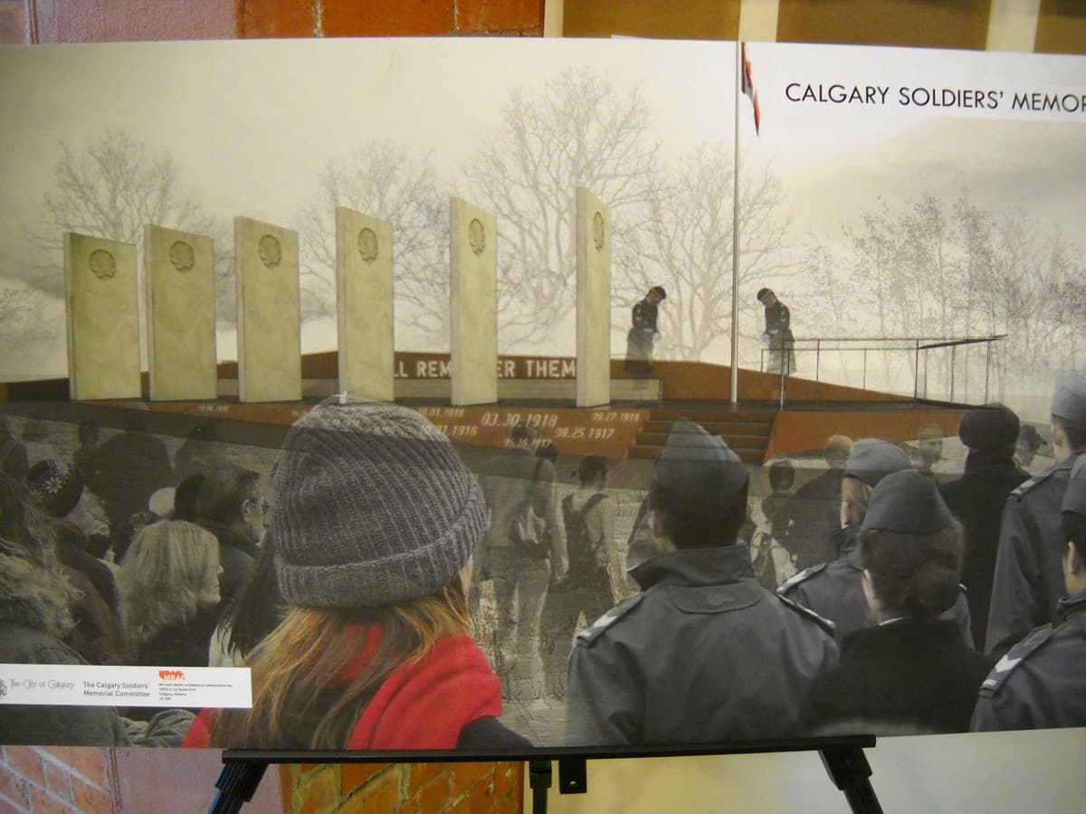
The oldest design statement on this bank: stone tablets naming roughly 3,000 fallen soldiers, and the 3,278 poplars planted from 1922, one for every local man lost in the Great War.
8
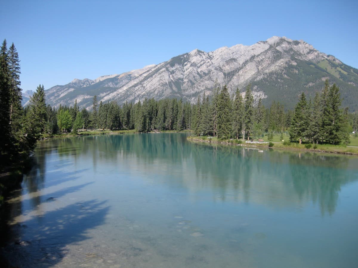
Bow River Pathway: The Pull-Back
The closing frame: the red bridge and the glass skyline in a single shot, resolving the thesis that the argument was never really about the money.
Best Time to Visit
Late spring through early autumn, from mid-morning to golden hour. The Peace Bridge and the Bow River pathway are open at all hours, but this tour is written for daylight, when you can read the red steel against the glass skyline and see the memorial poplars along Memorial Drive. Weekday mornings are quietest on the bridge itself. Kensington comes alive in the late afternoon and on Saturdays, so if the shops and patios are part of what you want, aim the back half of the walk at early evening. Avoid the tour during high water in June, when the Bow can run fast and the lowest riverside pathways occasionally close.
Pro Tips
- •The Peace Bridge deck is shared by pedestrians and cyclists, with a painted line down the middle. Stop two starts at the mouth of the bridge, not on the deck. Step to the side to listen so you are not standing in the bike lane.
- •Prince's Island Park is reached by its own small footbridges from the south bank near Eau Claire. Stop one is written from the island looking downstream toward the red bridge, so walk to the river's edge before you begin.
- •The whole route is flat and paved, easy going, but it is just under five kilometres out and back, so wear comfortable shoes and bring water.
- •Poppy Plaza reads most powerfully after dark, when the water-jet-cut quotes are backlit through the rusting steel. If you can, time stop six for dusk, or return to it in the evening after finishing the walk.
- •Memorial Drive is a busy road. The Soldiers' Memorial and the poplars at stop seven are best appreciated from the riverside, not the traffic side. Stay on the river side of the road.
- •Kensington rewards a detour. The audio anchors on the corner of tenth Street Northwest and Kensington Road, but the independent shops and cafes run for several blocks in each direction if you want to linger before Riley Park.
Safety & Precautions
- The Peace Bridge and the Bow River pathway are shared with cyclists, who move quickly. Keep right, listen for bells, and do not stop in the middle of the deck or the path.
- During spring runoff and after heavy rain, the Bow can run high and fast, and the lowest sections of the riverside pathway occasionally flood or close. Check conditions before walking the water's edge in June.
- Memorial Drive carries fast traffic. Cross only at marked crossings and signals, and keep children close along the road-side stops.
- Calgary weather turns quickly in any season. Bring a layer and water, and note that much of the riverside route is open and exposed, with little shade outside the memorial poplars.
Gallery
Related Reading
Go deeper on what you'll see, hear, and walk through.
Overview
Best Self-Guided Walking Tours in Calgary (2026)
4 min
Overview
Calgary Travel Guide: How Many Days, Getting Around, When to Go (2026)
5 min
Overview
One Day in Calgary: A Walkable Downtown Itinerary (2026)
6 min
Thematic
Best Architecture Walking Tours in Calgary (2026)
2 min

Companion
The Bridge Calgary Argued About: Crossing Between Two Calgarys
3 min
Deep dive
The Peace Bridge: Calgary's $24.5 Million Calatrava Argument
3 min