Britomart & the Waterfront: From Whaling Port to America's Cup
75 min · 2.7 km · easy
Auckland sits on a narrow isthmus that Māori call Tāmaki Makaurau, the place desired by many, and the harbour city that grew there reads its whole history in layers you can walk through slowly on your own clock. The Country of Ngāti Whātua and the wider iwi of the isthmus lay beneath a colonial port that kept rebuilding its own shoreline, buried a stream under its main street, and laid gardens over forts and volcanoes. Nothing here is single-layered. The reclaimed waterfront covers open harbour, Queen Street runs over a hidden watercourse, and a great park fills the crater of an old volcano. Three self-guided walks let you trace those layers at whatever pace you like, with no group to keep up with and no schedule steering you.
A shoreline remade again and again
The clearest place to feel Auckland's habit of layering is the water's edge, because the ground itself is invented. Auckland was founded on this shore by Governor William Hobson on the eighteenth of September eighteen forty, around a muddy tidal inlet called Commercial Bay, and almost all the flat downtown ground was later reclaimed from the sea. The old beach now runs a block inland along Fort Street, whose earlier name, Fore Street, records the first reclamation, completed by eighteen fifty. Everything seaward of that street is made ground.
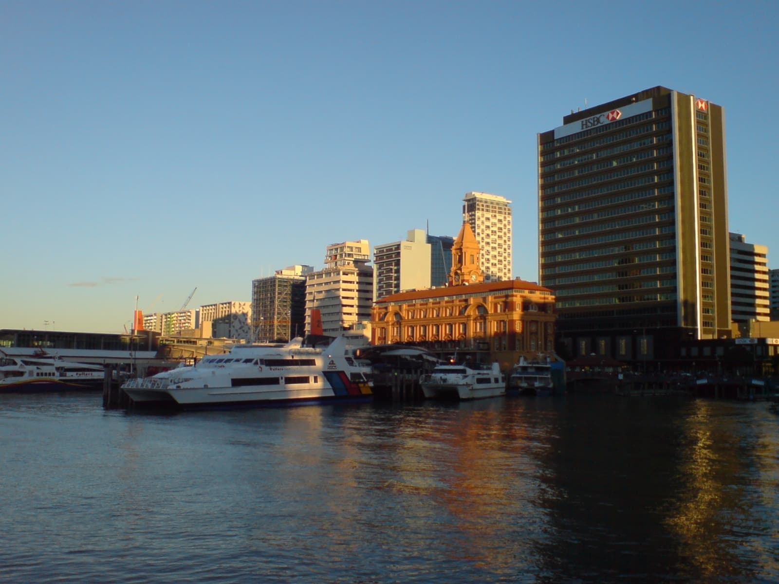
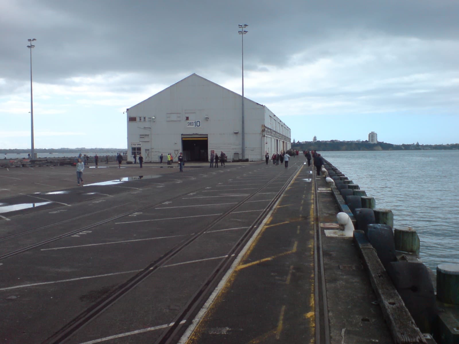
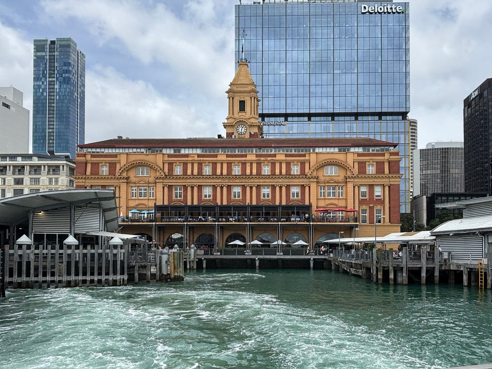
On top of that engineered edge the city stacked its harbour architecture. The Britomart and Waterfront walk reads it wharf by wharf. The Edwardian Ferry Building, designed by Alexander Wiseman and built between nineteen oh nine and nineteen twelve, is a Category One historic place and still the working hub of the harbour ferries to Devonport and the North Shore. Behind it, the Britomart precinct wraps restored Victorian and Edwardian warehouses (built between eighteen eighty and nineteen ten for the port trade) around the former Chief Post Office, opened in nineteen twelve by Prime Minister William Massey before a crowd of about eight thousand, and now the entrance to the underground Waitematā railway station. Queens Wharf, once stacked with cargo and now a public cruise terminal, still carries Shed Ten of nineteen ten, the last original building on it, from which troops departed for the First World War.
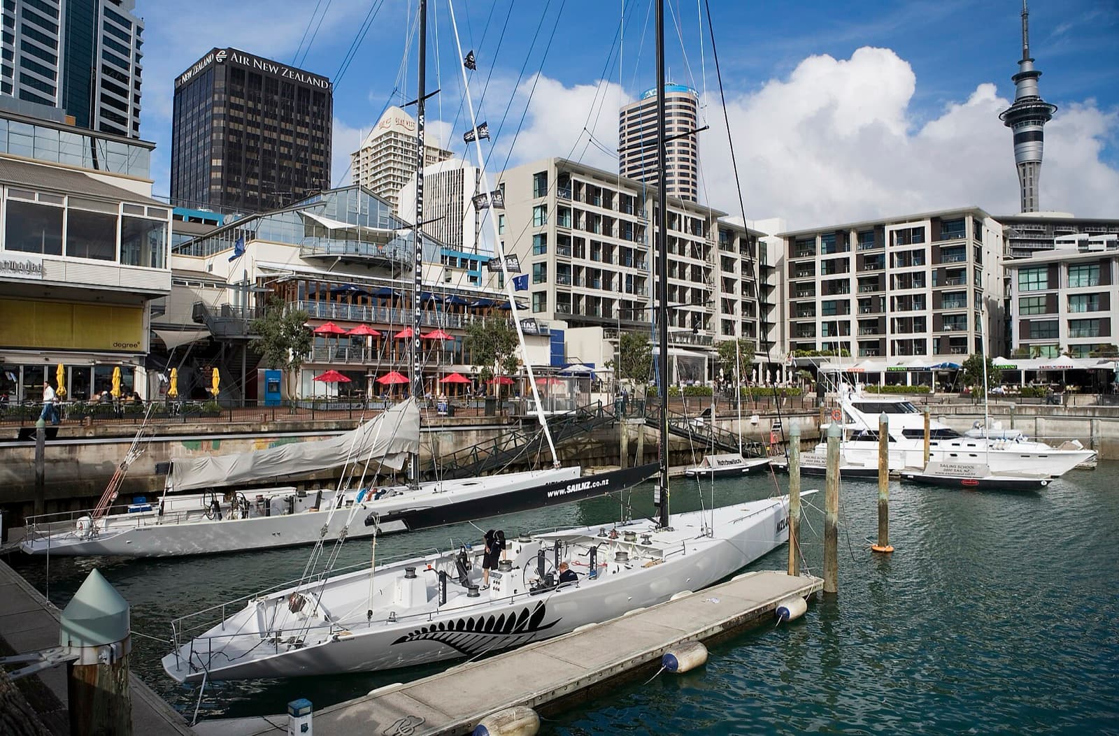
The western basins show the same shoreline being remade a century later. The Viaduct Harbour, once a run-down fishing and cargo basin home to a few boats, became the America's Cup Village that opened on the tenth of October nineteen ninety-nine, after Team New Zealand won the Cup in San Diego in nineteen ninety-five. New Zealand defended it cleanly in two thousand, then lost it to the Swiss challenger Alinghi in two thousand and three. Beyond it, the Wynyard Quarter kept the concrete silos of its old petrochemical Tank Farm as deliberate landmarks when its first public spaces opened in twenty eleven. Across the water from Princes Wharf sits the deepest layer of all: Rangitoto, the youngest and largest of about fifty volcanoes in the Auckland field, which rose from the sea only about six hundred years ago, within Māori memory.
A city written over a buried stream
Hear a stop from this walk
Commercial Bay: The Buried Beach
Queen Street proves that the layering runs inland too. Auckland's commercial spine has run up this valley since the eighteen forties, and it follows the floor of a gully that once carried the Waihorotiu Stream down to the Waitematā. The town canalised it, finished the eastern sewer in eighteen seventy-three, and buried it. The water still runs in nineteenth-century culverts beneath the pavement, and the new city rail station near Aotea Square carries the old name, Waihorotiu. For mana whenua the stream was a taonga, an ancestral waterway said to be home to a guardian spirit named Horotiu.
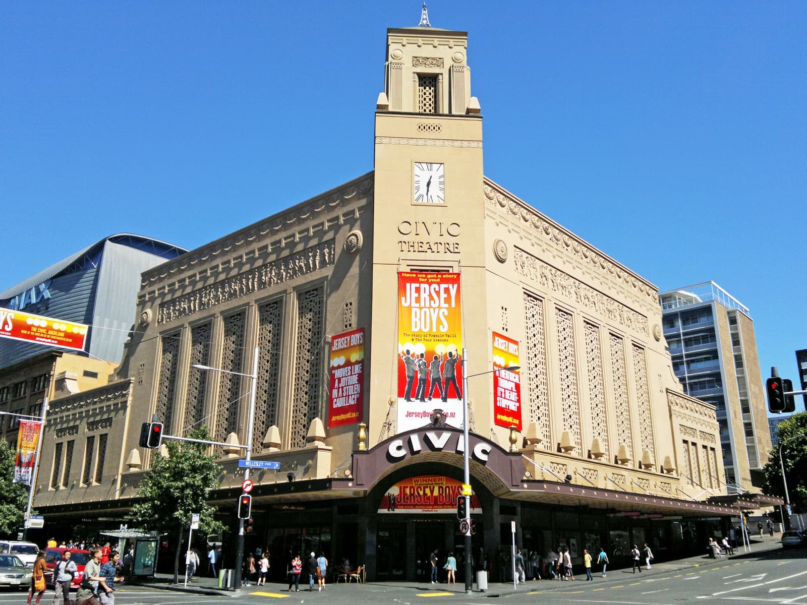
Up that buried valley the boom city added its grandest works, and the Historic Heart walk reads them as clauses in a long sentence. St Patrick's Cathedral stands on a church site acquired by Bishop Jean-Baptiste Pompallier on the first of June eighteen forty-one; the present Gothic Revival building by Edward and Thomas Mahoney opened in nineteen oh eight. The Civic Theatre, opened on the twentieth of December nineteen twenty-nine by architects Charles Bohringer and William T. Leighton for the impresario Thomas O'Brien, is the largest surviving atmospheric cinema in Australasia, its auditorium ceiling faked into an open night sky with drifting clouds and twinkling stars. The Auckland Town Hall of nineteen eleven, by Melbourne architects J.J. and E.J. Clark, sits on a triangular wedge site that locals compared to a wedge of cheese, its Great Hall acoustics modelled on the Gewandhaus in Leipzig, where the Beatles later played.
The sharpest layer here is moral. Albert Park, an ornamental garden laid out from eighteen eighty-one, sits over the Albert Barracks, a fortified British Army post of the eighteen forties whose loop-holed basalt wall stood about three and a half metres high and enclosed roughly nine hectares. Troops based here took part in the Crown invasion of the Waikato in eighteen sixty-three, one of the New Zealand Wars that brought large-scale Māori land loss. About eighty-five metres of that wall survives on Alfred Street in the University of Auckland grounds, the oldest piece of British military infrastructure in the country. A flower garden laid over a fort is the whole city in miniature.
The oldest village and the volcano park
East of the centre the layers arrange themselves by age. The Parnell and Domain walk begins in Auckland's oldest suburb, subdivided as the Village of Parnell in eighteen forty-one, only a year after the town was founded, when Robert Tod cut the ridge into thirty-six sections. Its Victorian character is partly a made thing: a nineteen-seventies restoration campaign rescued the decaying buildings into the streetscape now called Parnell Village. Nearby stand two churches in dialogue. St Mary's, designed by Benjamin Mountfort and completed by eighteen ninety-eight, is described by Heritage New Zealand as the largest wooden Gothic church in the world, and in nineteen eighty-two the whole fifty-metre timber building was rolled bodily across Parnell Road onto its present site. Beside it, Holy Trinity Cathedral was built in stages from a nineteen fifty-seven foundation stone to the Bishop Selwyn Chapel of twenty sixteen, its Pacific Gothic nave (by Professor Richard Toy) opened in nineteen ninety-five. Around the corner, Ewelme Cottage of eighteen sixty-three to eighteen sixty-four survives almost unaltered because one family, the Lushes, kept it for over a hundred years, right down to about two thousand of their books.
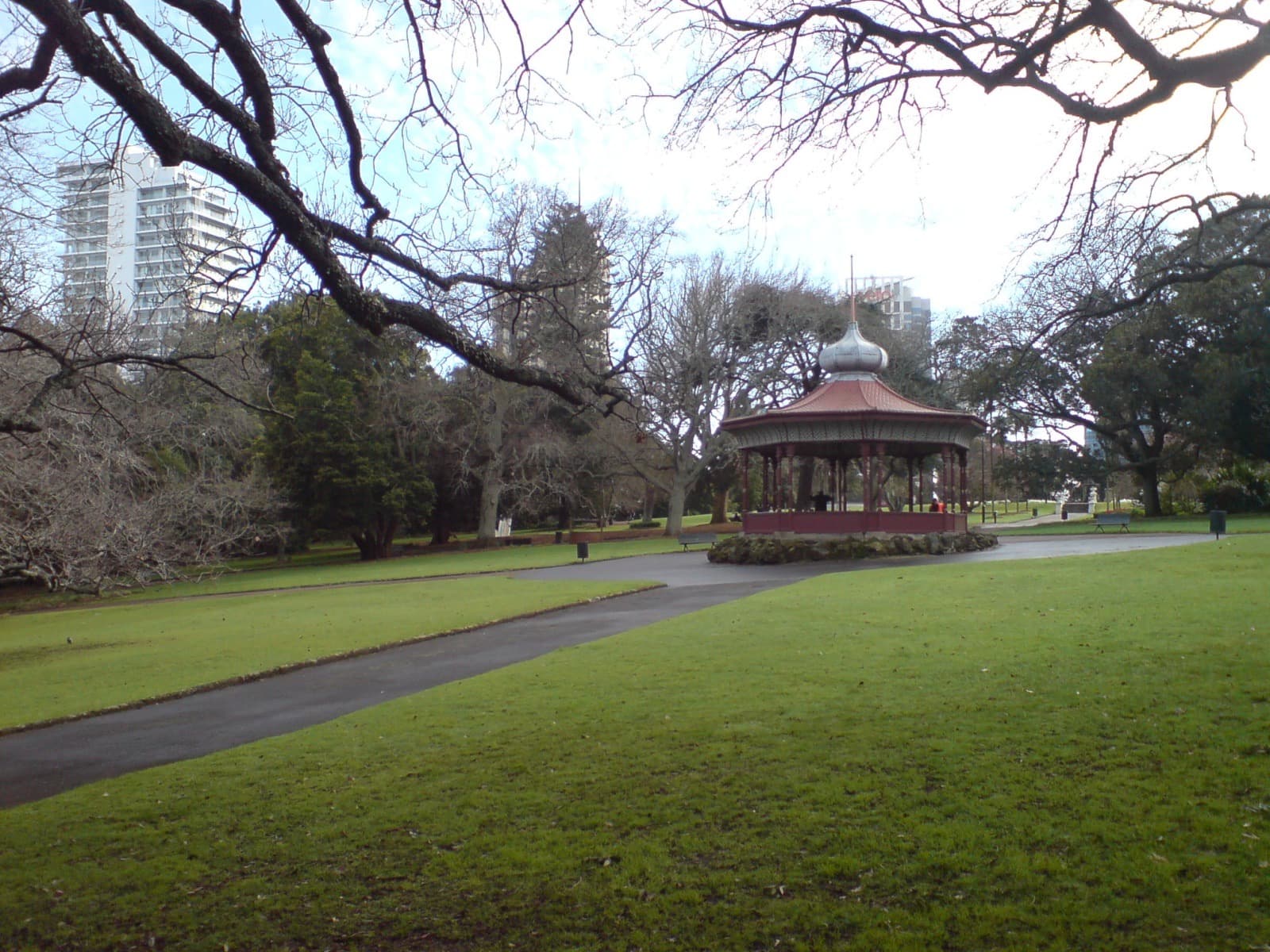
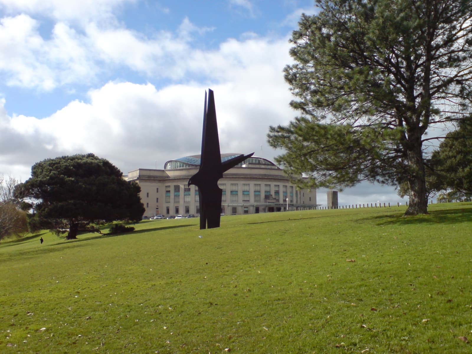
Then the suburb opens into the Auckland Domain, Pukekawa, the city's oldest park, proclaimed by Governor Robert FitzRoy in eighteen forty-four and laid out in the crater of a volcano that erupted roughly one hundred thousand years ago. The flat sports fields are the crater floor; the slopes are the rim. On the crater's flank sit the Wintergardens, barrel-vaulted glasshouses by William Henry Gummer and Charles Reginald Ford, paid for out of the profits of the Auckland Exhibition of nineteen thirteen to nineteen fourteen held on the same site. On the crest stands the Auckland War Memorial Museum, opened in nineteen twenty-nine, both a First World War memorial and the keeper of one of the world's greatest collections of Māori and Pacific treasures. It holds Hotunui, a carved meeting house of eighteen seventy-eight, and Te Toki-a-Tapiri, the last of the great war canoes, about twenty-five metres long and carved from a single tōtara log around eighteen thirty-six. That canoe was confiscated by the government in eighteen sixty-three, the year of the Waikato invasion, before Paora Tuhaere of Ngāti Whātua secured its protection in the museum.
Reading the layers at your own pace
The reward of walking Auckland slowly is that the layers become legible only when you stop. A group tour rushes you past the moments that carry the meaning: the seam of the old beach at Fort Street, the fragment of barracks wall on Alfred Street, the crater rim rising green around the sports fields, the buried stream you can only sense underfoot. Self-guided, you can hold each of those as long as you like. The three routes connect end to end, so you can take the waterfront, the Queen Street valley, and Parnell in whatever order suits your day. The through-line ties them together: from the pā on the maunga to the sails on the gulf, this is a harbour city built in layers, and it rewards an unhurried reader.
Sources
- Heritage New Zealand Pouhere Taonga, listings for the Ferry Building, Britomart precinct, Civic Theatre, Auckland Town Hall, St Mary's Church and Ewelme Cottage.
- Te Ara, the Encyclopedia of New Zealand, on Auckland's founding and early settlement.
- NZHistory (Manatū Taonga, Ministry for Culture and Heritage), on the Albert Barracks, the New Zealand Wars, and the America's Cup.
- New Zealand Geographic, on Rangitoto and the Auckland volcanic field.
- Auckland War Memorial Museum, on Hotunui and Te Toki-a-Tapiri.
Frequently asked questions
- Why is Auckland called Tāmaki Makaurau?
- Tāmaki Makaurau is the Māori name for the Auckland isthmus, often rendered as the place desired by many. The narrow isthmus between the Waitematā and Manukau harbours, set on a field of nearly fifty volcanoes, was contested by many iwi over the long history of the region. It is the Country of Ngāti Whātua and the wider iwi of the isthmus, who remain mana whenua today.
- Is downtown Auckland built on reclaimed land?
- Yes. Auckland was founded in eighteen forty around a tidal inlet called Commercial Bay, and almost all the flat downtown ground was later reclaimed from the sea. The original shoreline now runs a block inland along Fort Street, whose earlier name Fore Street records the first reclamation, completed by eighteen fifty. Everything seaward of that street is made ground carrying wharves and towers.
- Is there really a buried stream under Queen Street?
- Yes. Queen Street follows the floor of a valley that once carried the Waihorotiu Stream down to the Waitematā Harbour. The town canalised and buried it through the nineteenth century, completing the eastern sewer in eighteen seventy-three, and the water still runs in culverts beneath the pavement. The city rail station near Aotea Square is named Waihorotiu after the hidden stream.
- Is the Auckland Domain built in a volcano?
- Yes. The Auckland Domain, Pukekawa, is the city's oldest park, laid out in and around the broad crater of a volcano that erupted roughly one hundred thousand years ago. The flat sports fields are the crater floor and the surrounding slopes are the old rim. Governor Robert FitzRoy proclaimed the ground Auckland Park in eighteen forty-four, and the Auckland War Memorial Museum crowns the crater's crest.
- What can you see on a self-guided walk of Auckland's old center?
- Three connected routes cover the layers: the Britomart and Waterfront walk reads the reclaimed harbour edge from the Ferry Building to the Wynyard silos, the Historic Heart walk climbs the buried Queen Street valley past the Civic Theatre and Town Hall to Albert Park, and the Parnell and Domain walk moves through Auckland's oldest suburb into the volcano park and the war memorial museum. Each stop is short and skippable at your own pace.
Ready to experience it?
Britomart & the Waterfront: From Whaling Port to America's Cup
75 min · 2.7 km · easy
More from Auckland
Explore more at your own pace.
Auckland Travel Guide: How Many Days, Getting Around, Safety, and Budget
Albert Park and the Barracks Wall: The Garden Auckland Built Over a Fort
The Auckland Domain: A City Park Built in a Volcano's Crater
The Auckland Ferry Building: A Front Door Built on Water
The Civic Theatre: Auckland's Picture Palace With a Ceiling of Stars