Auckland was born on a muddy tidal bay, and the flat downtown ground you cross to reach the Ferry Building is not original land at all. It was reclaimed from the sea. Start at the Ferry Building on Quay Street and you are standing on the harbour's front door, a stately Edwardian pile that rises on ground that was open water a little over a century ago. Read that one fact carefully and the whole Britomart and waterfront walk opens up: this is a shoreline that has been remade again and again, from whaling port to cargo wharf to yacht basin to glass tower, and every stop on the route is a different layer of the same made edge.
The building that admits it was built on water
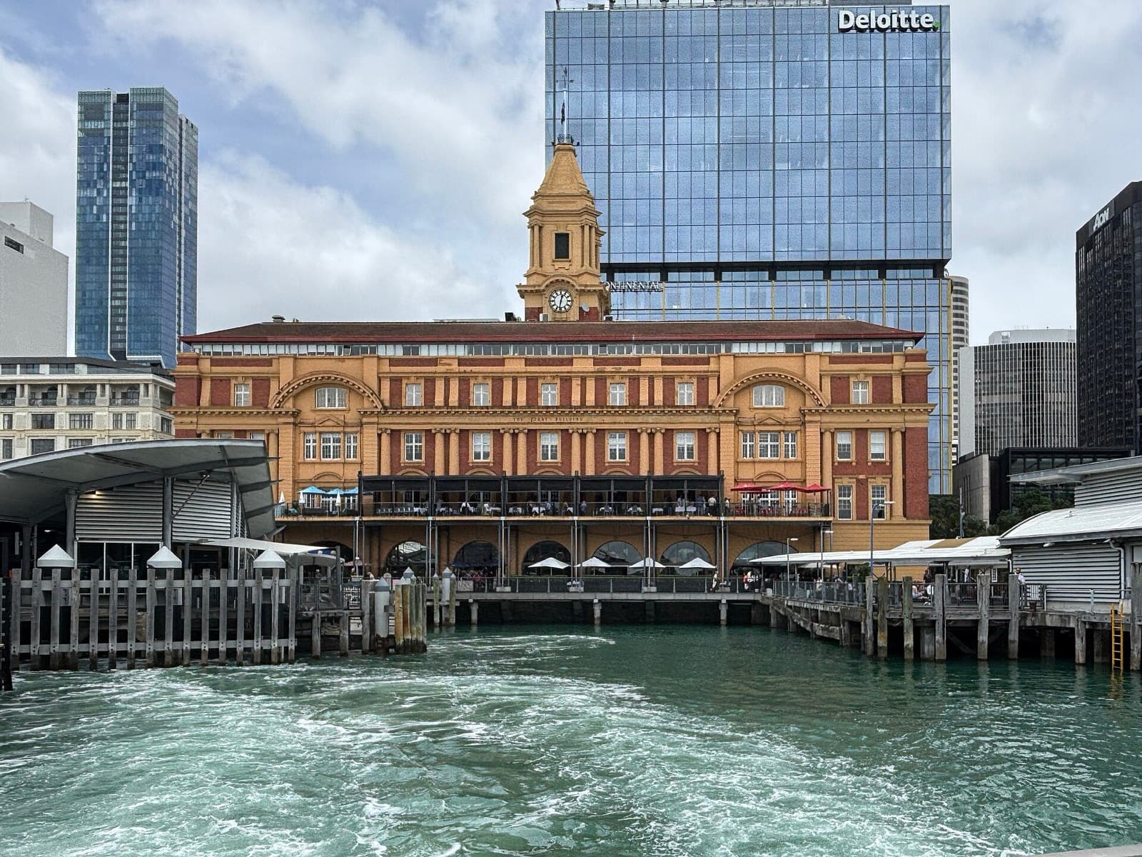
The Ferry Building is worth reading slowly because it wears its own history openly. Heritage New Zealand records that it was designed by the architect Alexander Wiseman and built between 1909 and 1912 for the Auckland Harbour Board, four storeys of sandstone and brick over a base of Coromandel granite, crowned by a clock tower in a stately English Baroque. It was Wiseman's best-known work. It also took longer than planned, partly because the public objected to a building blocking the harbour view, and an early five-storey proposal was cut back to four storeys plus the tower. That small civic argument tells you what kind of city Auckland is: one that fights over its water.
The granite at the base is the tell. Where that stone now stands was once open harbour. For more than a century this has been the working hub of Auckland's harbour ferries, which still cross the Waitematā, the harbour Auckland is built on, to Devonport and the North Shore all day long. That detail matters for how you should walk this route. The boats come and go on their own rhythm, not yours. You are not tied to a departure, not keeping up with a group, not watching a guide's watch. The Ferry Building is where the tour teaches you its posture: set your own clock, and let the harbour do the same.
Reading a made shoreline, stop by stop
Hear a stop from this walk
Commercial Bay: The Buried Beach
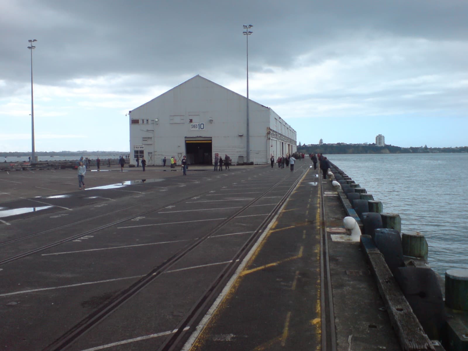
From the front door the walk moves along the working edge, and each stop is a chapter in the reclamation story. Just east, Queens Wharf reaches out from the foot of Queen Street, built in stages between 1907 and 1913 so port operations never had to stop. Two cargo sheds once stood on it; only Shed Ten, built in 1910, survives, and troops were waved off from beside it for the First World War. Around 2010 the wharf was bought back into public ownership, and Shed Ten reopened in August 2013 as a cruise terminal and events space. A working freight wharf handed back to the people who live around it.
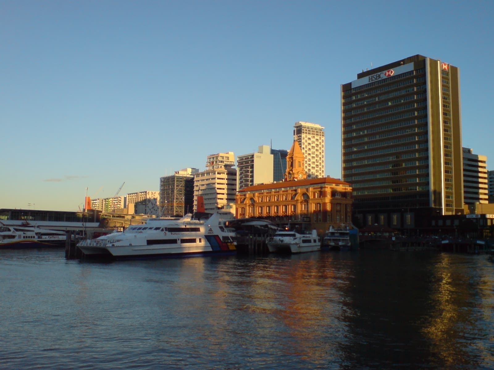
Behind the wharves sits Britomart, a tight block of Victorian and Edwardian warehouses built between 1880 and 1910 for the port trade, most of them still wearing their original brick. The block wraps around the former Chief Post Office, designed by the government architect John Campbell, built between 1909 and 1911, and opened in 1912 by Prime Minister William Massey before a crowd of about eight thousand people. That old post office is now the entrance to the underground Britomart railway station, officially Waitematā Station. When the central station returned here as the Britomart Transport Centre in July 2003, it set off the regeneration of every warehouse around it. A post office became a rail hub; decayed sheds became a living quarter.
Then the walk turns inland, to the quietest and most important stop. Around lower Fort Street runs the line of Auckland's original 1840 shoreline. Te Ara, the Encyclopedia of New Zealand, records that Auckland was founded by Governor William Hobson on the eighteenth of September 1840, on the shore near Commercial Bay. The first reclamation formed Fore Street, later Fort Street, and was completed by 1850. So the sea once reached right to that street, and everything seaward of it is made ground. The whole confusing downtown layout suddenly becomes legible: you are standing on the true edge of the original town.
This is also where the walk keeps faith with whose harbour this is. The shore is the Country of Ngāti Whātua Ōrākei, the mana whenua, the iwi holding customary authority here. Soon after signing Te Tiriti, the Treaty of Waitangi, in 1840, they made a tuku, a strategic gift, of land on the Waitematā to Hobson for the new town. A series of later transactions then stripped nearly all of it, leaving only a small patch at Ōkahu Bay. Ngāti Whātua remain here today. That sober history sits under a pleasant street, and the tour treats it as real and living rather than decorative.
Where the liner age meets a young volcano
West of the Ferry Building, Princes Wharf runs as a long finger into the harbour. Drawn up by the Auckland Harbour Board in 1920 and formally opened on the twelfth of May 1929, it reached more than one thousand two hundred feet into the water, long enough to berth four of the largest liners at once. This was Auckland's gateway in the age of the ocean liner. Look across from its end and you see Rangitoto, a maunga, a volcanic cone. New Zealand Geographic records that it is the youngest and largest of about fifty volcanoes in the Auckland volcanic field, risen from the sea only about six hundred years ago, within Māori memory. From a wharf built for steamships you are looking at an island younger than the human story of this place.
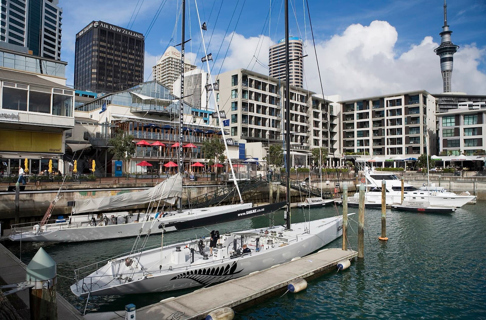
The last two stops close the argument. Viaduct Harbour, a run-down fishing basin, became the America's Cup Village that opened on the tenth of October 1999, after Team New Zealand won the Cup in San Diego in 1995. The country defended it cleanly in 2000, with Russell Coutts sailing, then lost it here in 2003. Sir Peter Blake led the vision to remake the basin. Finally Wynyard Quarter, once the bulk-fuel Tank Farm from the 1930s, opened as public space in August 2011, keeping its great concrete silos as landmarks in Silo Park. Stand there and look back east along the whole reclaimed edge, and the thesis holds: a shoreline that keeps being remade.
For more routes through the city, see Auckland walking tours, and browse the full set of tours for Auckland. This one is a level walk of roughly two and a half kilometres, easy underfoot, best in the late afternoon light off the Waitematā.
Sources
- Heritage New Zealand, Ferry Building listing (Category One): architect Alexander Wiseman, construction 1909 to 1912, Harbour Board commission.
- City Rail Link, Waitematā Station area history: Chief Post Office by John Campbell, opened 1912 by William Massey, and the 2003 return of the central station.
- Te Ara, the Encyclopedia of New Zealand, founding of Auckland: Governor Hobson, 18 September 1840, Commercial Bay, and early reclamation.
- New Zealand Geographic, Rangitoto: youngest and largest volcano in the Auckland field, eruption roughly six centuries ago.
- NZHistory and NZ Herald, America's Cup and Viaduct Harbour: 1995 San Diego win, 1999 Cup Village, 2000 defence, 2003 loss.
Ready to experience it?
Britomart & the Waterfront: From Whaling Port to America's Cup
75 min · 2.7 km · easy
More from Auckland
Explore more at your own pace.
Auckland Travel Guide: How Many Days, Getting Around, Safety, and Budget
Auckland: The Harbour City Read in Layers
Albert Park and the Barracks Wall: The Garden Auckland Built Over a Fort
The Auckland Domain: A City Park Built in a Volcano's Crater
The Civic Theatre: Auckland's Picture Palace With a Ceiling of Stars