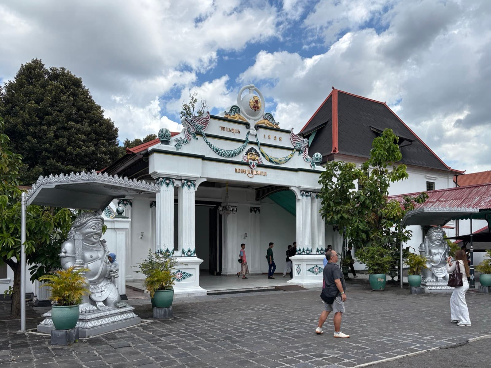
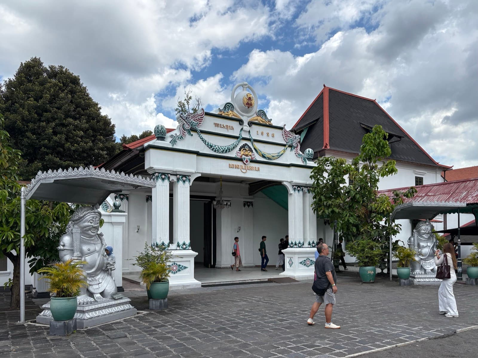
The Kraton is the center point from which Sultan Hamengkubuwono the First drew Yogyakarta as a single straight line, running from Mount Merapi through his walled palace toward the Indian Ocean. Most royal capitals grow outward in messy circles over centuries. Yogyakarta did the opposite. In 1755 a rebel prince won half a kingdom, took the title Hamengkubuwono the First, and did something few founders ever attempt: he laid out an entire city as a single sentence, roughly six kilometers of landmarks strung along one north-south axis, with his palace fixed at the middle. UNESCO records this as the Cosmological Axis of Yogyakarta, inscribed in 2023. To understand the palace, you have to understand that it was not placed on the line. The line was drawn from it.
The point from which everything was sighted
The full name is Kraton Ngayogyakarta Hadiningrat, and Hamengkubuwono the First built it in 1755 to 1756, immediately after the Treaty of Giyanti of 1755 split the old realm of Mataram and created the Sultanate of Yogyakarta under the shadow of the Dutch East India Company. He chose protected banyan-forest land between two rivers, and from that exact center he sighted the axis outward: north to the volcano Mount Merapi, source of life, and south to the Indian Ocean, the final return. The palace sits between them like a hinge. That geometry is precisely why UNESCO places the Kraton at the middle of the inscribed axis rather than treating it as one attraction among many.
What makes the place unusual is that it is not a ruin or a preserved shell. It is a living palace, still the residence of the reigning sultan, Hamengkubuwono the Tenth, and still a working center of Javanese court culture: gamelan music, court dance, and wayang, the shadow-puppet theater. The court is Muslim. History has not always spared it. On the twentieth of June 1812, British forces under Sir Stamford Raffles sacked and burned the Kraton, and later sultans rebuilt what stands today. When you walk the courtyards, you are moving through a home, not a museum set. Parts remain the sultan's private residence and are closed. Shoulders and knees stay covered, a sarong is available at the entrance, and foreign visitors pay about fifteen thousand rupiah to enter, Tuesday through Sunday.
Reading the line, north to south
Hear a stop from this walk
Alun-Alun Kidul: Where the Sacred Line Meets the Everyday
The palace only makes full sense once you have walked the segments on either side of it, which is what the Yogyakarta walking tours route does, one landmark at a time, from the northern pillar to the southern square.
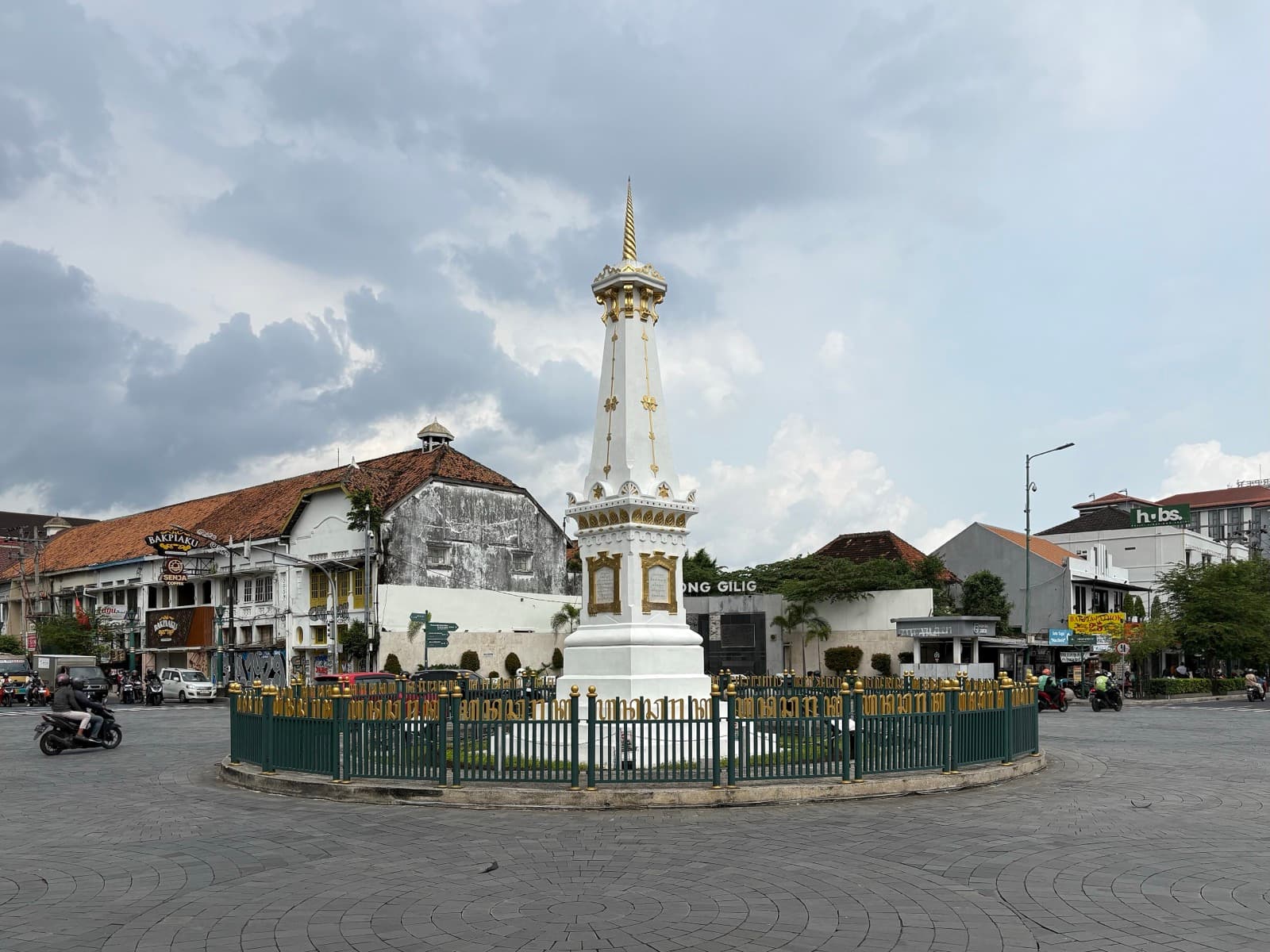
The line begins about six kilometers north, at the Tugu monument, a slender white pillar with a gold-tipped crown. Hamengkubuwono the First raised it in 1755, the same year he founded the city, and called it Tugu Golong-Gilig. Tradition holds that he used it as a meditation focus, standing at his palace far to the south and sighting along the pillar toward Merapi on the horizon. That sightline is the entire design. The pillar you see now is not the original: the earthquake of 1867 collapsed the tall pole, the Dutch rebuilt it shorter in 1889 with a plainer form and a colonial name, and a 2012 renovation restored gold-painted detail to its tip.
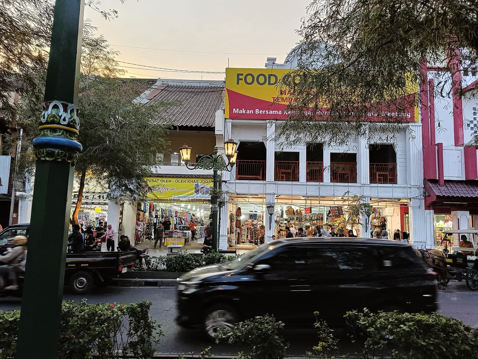
South of the pillar runs Malioboro, the middle of the line. To the sultan it was a sacred segment of the journey from mountain to sea. To almost everyone since, it has been a market. Even the name resists resolution: one theory traces it to the Sanskrit malyabhara, a garland of flowers fitting for a ceremonial approach; another to Marlborough, from the brief British interlude in Java of roughly 1811 to 1816. The Dutch made Malioboro the city's commercial artery, trade thickening from around 1900, and its southern stretch became the Chinatown by the 1910s. Sacred spine and living market share one street, and you can hold both at once.
Just short of the palace stands Fort Vredeburg, a low white European garrison whose Dutch name means peace fort. The irony is built into the stone: the fort was positioned so its guns could oversee the sultan's home. It grew from a fort the Dutch governor Nicolaas Harting requested around 1760 on land the sultan provided, was completed as Fort Rustenburg in 1787, and took the name Vredeburg after the 1867 earthquake forced a rebuild. The land beneath it is still owned by the Yogyakarta Sultanate, though it has housed a history museum since 1992. The sacred line the sultan drew and the colonial watchpost the company built face each other across the same axis.
The squares, the water castle, and the sea's end
Immediately before the palace opens the Alun-Alun Utara, the north royal square, roughly a hundred and fifty meters on each side and covered in pale sand. Two caged banyan trees stand at its center: the western Kyai Dewadaru, divine light, facing the grand mosque, and the eastern Kyai Janadaru, human light, facing the market, with the sultan framed between the spiritual and the worldly. Sixty-two more banyans ring the square, making sixty-four in all, a number tradition links to the age of the Prophet Muhammad in Javanese reckoning. By custom, the sand itself is carried from the south coast, tying the forecourt to the ocean end of the axis.
About two kilometers south lies Taman Sari, the water castle, built under Hamengkubuwono the First from around 1758 to 1765. A system of watergates could flood the whole complex, hiding the pleasure garden underwater. Its strangest structure is Sumur Gumuling, a circular underground mosque reached by a tunnel, where four staircases climb to meet at a single raised platform. The court official Tumenggung Mangundipura, who led the design, traveled twice to Batavia to study European architecture, and the result blends Javanese and European forms. The British invasion of 1812 and the 1867 earthquake wore it down; the bathing complex was restored in the early 1970s.
The line ends at the Alun-Alun Kidul, the southern square locals call Alkid, conceptually the ocean end of the axis. Here the sacred geometry hands itself back to ordinary life through Masangin, a blindfold walk between twin banyan trees for a granted wish, a folk custom the Yogyakarta tourism authority traces to an older silent-meditation ritual called Topo Bisu.
Stand at the palace once you have walked both directions, and the whole argument resolves. The Kraton is not a stop. It is the sentence's subject, and the city is the sentence. Plan the full route from the Yogyakarta city page and read it on foot, at your own pace, from the pillar to the sea's end.
Sources
- Keraton Ngayogyakarta Hadiningrat, Wikipedia. Founding under Hamengkubuwono the First, the 1755 Treaty of Giyanti, and the palace as living royal residence.
- Tugu Yogyakarta, Wikipedia. The original Tugu Golong-Gilig, the 1867 earthquake collapse, and the 1889 Dutch reconstruction.
- Fort Vredeburg Museum, Wikipedia. The fort's staged construction under governor Nicolaas Harting, its renaming, and its role facing the palace.
- Taman Sari (Yogyakarta), Wikipedia. The water castle's hydraulic flooding system and the underground mosque Sumur Gumuling.
- Museum Sonobudoyo and the Yogyakarta Tourism Portal. The caged banyans of the north square and the Masangin and Topo Bisu traditions of the south square.
Ready to experience it?
Old Town: Walking the Sultan's Sacred Line
150 min · 6 km · moderate
More from Yogyakarta
Explore more at your own pace.
One Day in Yogyakarta: A Walkable Itinerary
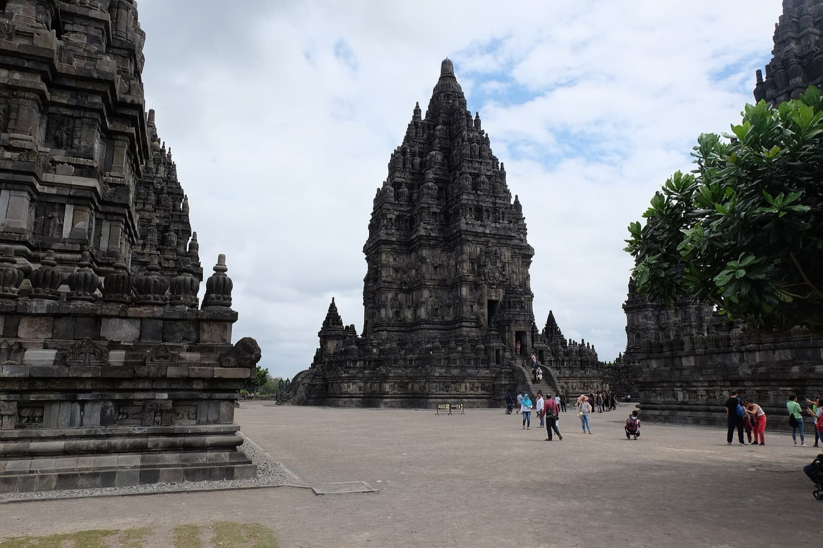
Candi Shiva: How Prambanan's Tallest Tower Organizes an Entire Temple City
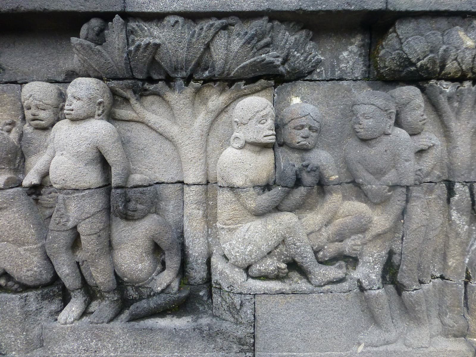
The Rupadhatu Galleries: How to Read Borobudur's 2,670 Carved Panels
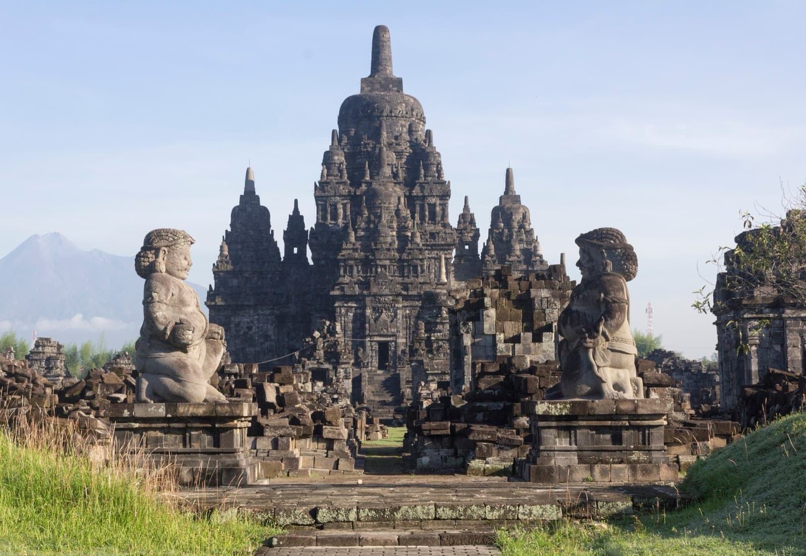
Candi Sewu: The Buddhist "Thousand Temples" That Number 249
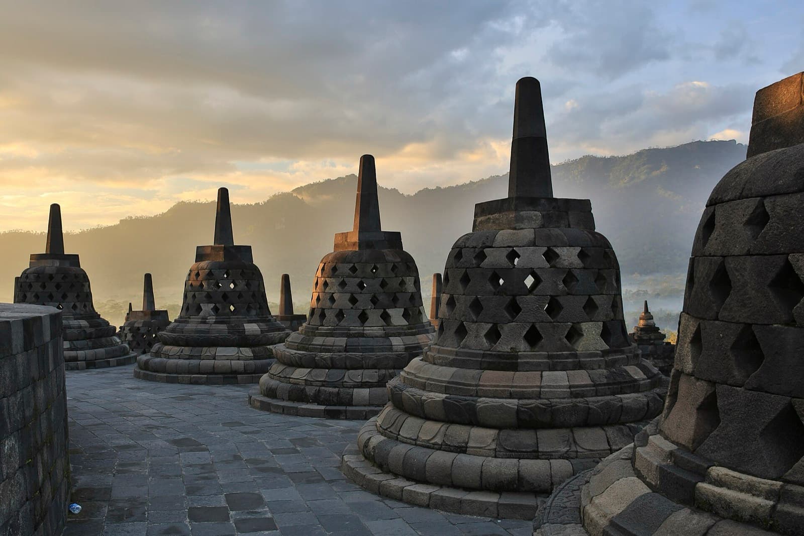
The 72 Perforated Stupas of Borobudur: Why the Buddha Is Half-Hidden