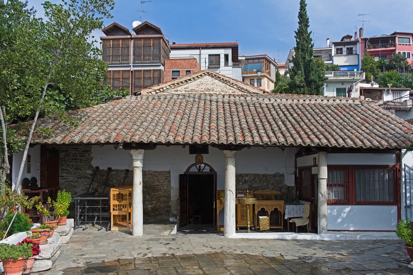
The overhanging timber houses of Ano Poli survived because the quarter was too poor and too high to interest anyone. When a fire erased two-thirds of central Thessaloniki in August 1917, the wind pushed the flames away from this steep upper ground by the walls, and so the neighborhood that had the least kept the most of the old city intact. Walk up into the lanes below the acropolis and you are not looking at a preserved museum. You are looking at the accident of geography and poverty that spared a whole vanished Thessaloniki while the wealthier city below burned to ash and was rebuilt from scratch.
The houses that shouldn't still be here
Stop at the timber houses on the narrow lanes and look up. Many of them are timber-framed, built on a skeleton of braced vertical and diagonal timbers filled in with mud, lath, and plaster, standing one to three storeys tall. The feature to watch for is the sachnisi, the enclosed upper storey that juts out over the lane on wooden brackets. It is an Ottoman-era device that shades the street and steals a little extra room from the air above the property line. These are mixed Macedonian and Ottoman houses, threaded together by cobbled and stepped lanes, hidden courtyards, small gardens, and the odd old public fountain.
A structure like this is fragile. Timber and plaster do not survive a century of earthquakes, damp, and fire unless something protects them. In most cities, a quarter of leaning wooden houses is the first thing lost. Here it is the thing that remained, and the reason is worth walking up the hill to understand.
The fire that drew the line
Hear a stop from this walk
The Timber Houses and Lanes: The Fabric the Fire Spared
On the eighteenth of August 1917, a fire broke out lower down, between the center and the Upper Town. It burned for about thirty-two hours, destroyed roughly two-thirds of the city, and left more than seventy thousand people homeless. The burned center below was then handed to the French architect Ernest Hebrard, who replanned it into the orderly modern grid of boulevards and squares you can see from the top of the hill. If you have arrived in Thessaloniki through its central squares, you have already walked through Hebrard's answer to the disaster without knowing it.
But the wind carried the flames away from the higher ground by the walls, and Ano Poli was largely spared. That single meteorological fact is the hinge of the whole neighborhood. The wealth of the city rebuilt below as something new and planned. The poverty up here, too marginal to matter, kept the old city whole. The paradox is not a metaphor. It is a line you can stand on, drawn by wind on one afternoon in 1917.
That is the argument the full tour traces from the top of the hill down to these lanes, and it is why the whole route reads as one connected essay rather than a list of monuments. If you want the map and the sequence, the Thessaloniki walking tours hub lays out how the stops connect.
Why the ring above the houses matters
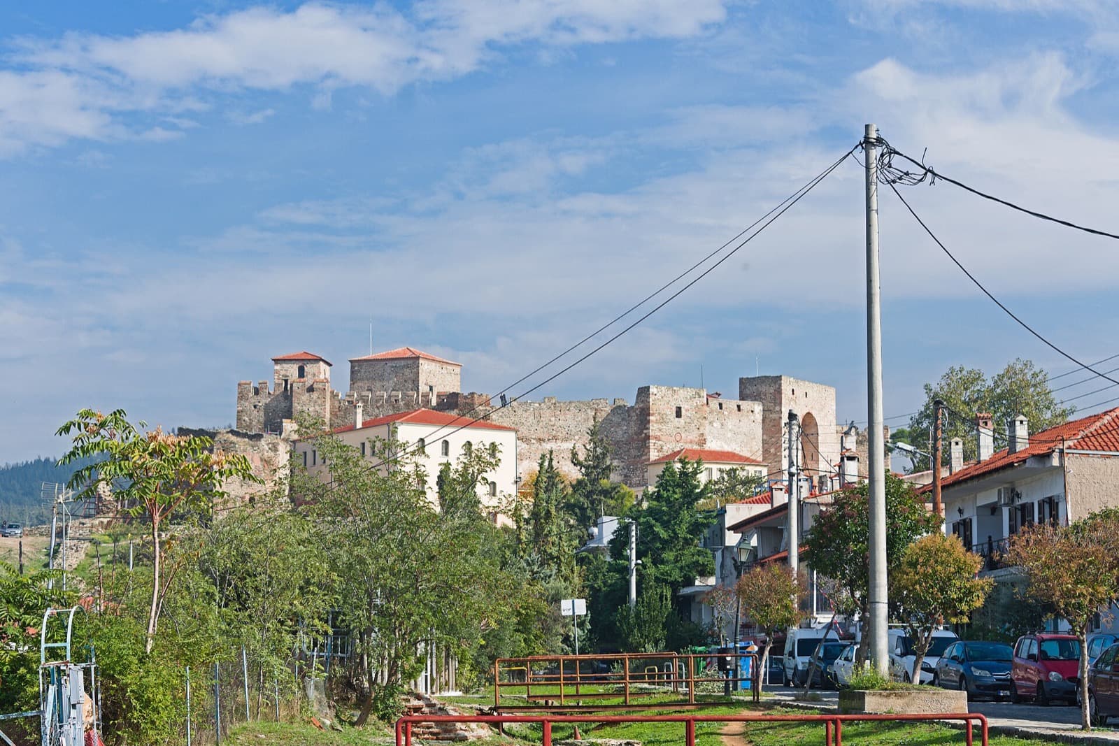
The timber houses did not survive alone. They survived inside a fortified system. The walls of Thessaloniki run some four kilometres around the old city and the Upper Town, built in the visible fabric between the late fourth and mid-fifth centuries on top of an earlier late-third-century Roman wall. Look at the masonry and you can read the method with your eyes: courses of cut ashlar stone alternating with bands of brick, the standard late-Roman construction of the era. The northern walls adjoin the acropolis, a separate fortified enclosure crowning the summit, a citadel within the citadel. The whole circuit is part of the Paleochristian and Byzantine Monuments of Thessaloniki, fifteen monuments inscribed on the UNESCO World Heritage List in 1988.
A wall is built to keep an enemy out. But a wall also seals a world in. Everything ringed by this stone sat high and apart while the city below changed hands and, one August, burned. The best single view of the arrangement is the terrace below the Trigonion Tower, a round Ottoman artillery bastion of the late fifteenth century, roughly twenty-four metres across at its base and about twenty-two metres high. From there the rooftops of the Upper Town spill down behind you, Hebrard's grid stretches out below, and the Thermaic Gulf opens to the south. On very clear days Mount Olympus appears across the water. The old world above, the new world beneath, the fire between them.
What the obscurity protected
The same logic that saved the houses saved things far more delicate. Osios David, the late-fifth-century church of the former Latomou Monastery, looks like nothing from the lane, and that is exactly the point. Inside, its apse holds a mosaic from the last quarter of the fifth century showing Christ enthroned in a mandorla, young and beardless, an early Christian form made before the bearded image became standard. It was plastered over when the building served as a mosque in the Ottoman centuries, then reconsecrated as a church in 1921. Plaster, conquest, roughly fifteen hundred years, and a fire below, and the gold still shines.
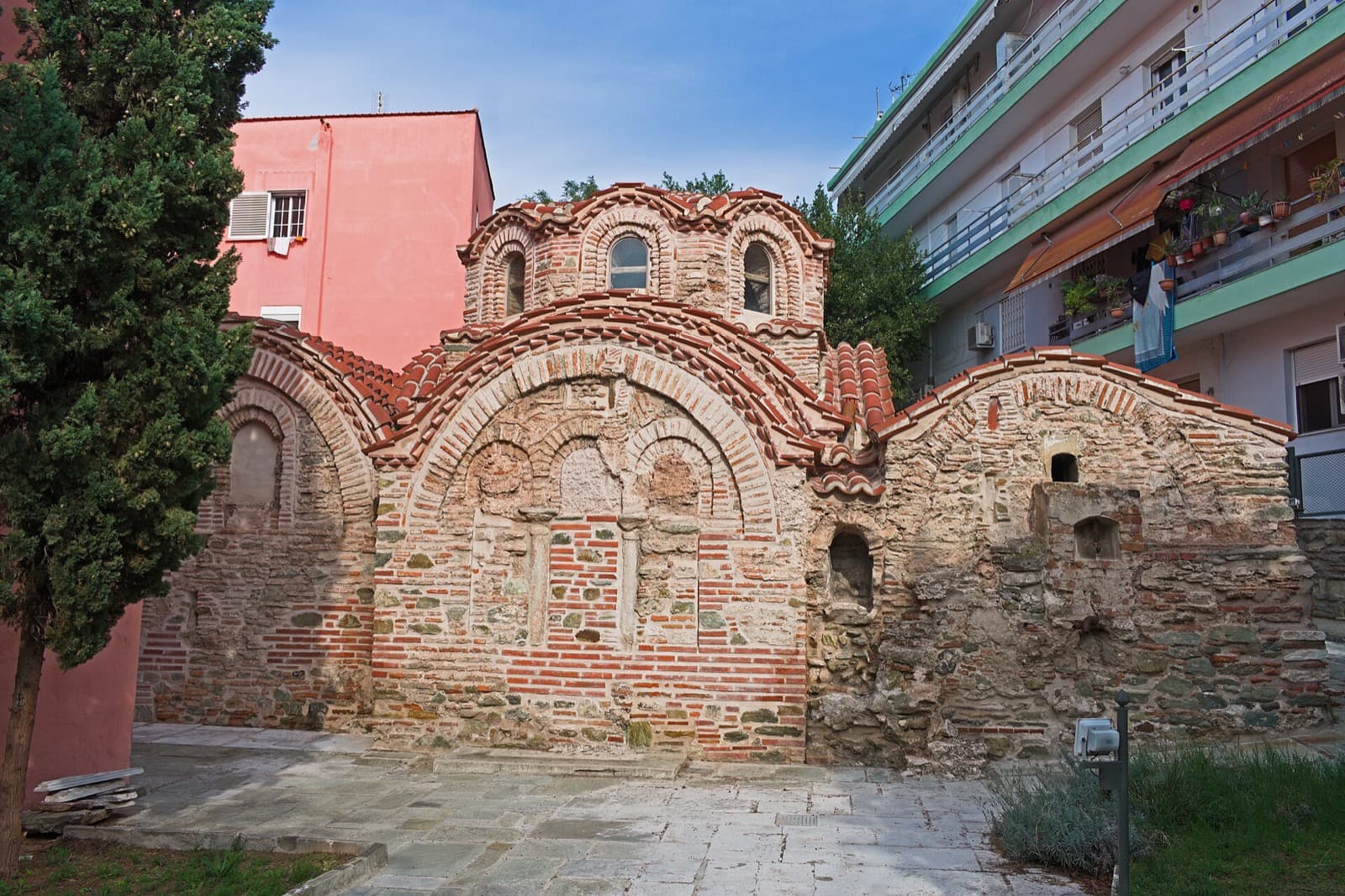
A short walk away, Agios Nikolaos Orfanos is a plain shell of brick and stone from between 1310 and 1320. Its interior is covered almost entirely with wall paintings from the height of the Palaiologan Renaissance, uncovered intact during restoration between 1957 and 1960. Grandeur would never have left such a ceiling of faces alone. Obscurity did. And Vlatades Monastery, founded around 1351 by the brothers Dorotheos and Markos Vlatades, is the only Byzantine-era monastery in the city still functioning today, a community that never once shut across nearly seven centuries.
The city these lanes remember
The paradox has a darker underside, and the tour holds it with care rather than skipping past it. This was a layered Ottoman and then Greek city whose majority was Sephardic Jewish, some fifty thousand people before the war. According to the United States Holocaust Memorial Museum, between March and August of 1943 the Germans deported more than forty-five thousand of them to Auschwitz-Birkenau, where more than ninety percent of the community was murdered, most on arrival. The lived-in lanes of Ano Poli remember a city far larger than what remains. This is why the walk asks you to keep your voice down. These are real homes on real streets, and people are inside them.
Stand in these lanes with all of it at once: the timber that outlasted the fire, the frescoes the plaster failed to erase, the vast absence the war left behind. Then walk the full route from the top down. Start planning from the Thessaloniki city page, and let the hill set your pace.
Sources
- Great Thessaloniki Fire of 1917, Wikipedia. Confirms the fire's date, roughly thirty-two-hour duration, destruction of about two-thirds of the city, and the toll of more than seventy thousand homeless.
- Walls of Thessaloniki, Wikipedia. Documents the four-kilometre circuit, the late-Roman ashlar-and-brick construction, and the relationship of the northern walls to the acropolis.
- Paleochristian and Byzantine Monuments of Thessaloniki, UNESCO World Heritage List. Confirms the group of fifteen monuments and the 1988 inscription.
- Salonika, United States Holocaust Memorial Museum Holocaust Encyclopedia. Source for the size of the prewar Sephardic Jewish community and the 1943 deportations to Auschwitz-Birkenau.
- Church of Hosios David, The Byzantine Legacy. Details the late-fifth-century church, its beardless-Christ apse mosaic, and its reconsecration in 1921.
Ready to experience it?
The Quarter the Fire Spared
140 min · 4.2 km · challenging
More from Thessaloniki
Explore more at your own pace.
One Day in Thessaloniki: A Walkable Morning-to-Evening Itinerary
Thessaloniki: The City Read in Layers
The Jewish Museum of Thessaloniki: Reading a Vanished City
The Rotunda of Thessaloniki: How One Building Holds Four Empires
Agios Dimitrios: The Basilica That Holds Thessaloniki's Whole Memory