This hill was planned twice, and once you know that, the walk from Príncipe Real down through the Bairro Alto reads like two documents laid on top of each other. Along the ridge, every grand project failed on the same ground until a garden over a water tank finally held. Below it, a quarter begun by a land deal of 1513 kept its plan, turned it toward the Jesuits at Travessa da Queimada, and was later filled by newspapers.
The ridge: a list of failures
Start at the gate of the Botanical Garden on Rua da Escola Politécnica and the pattern shows at once. One plot, four tenants: a Jesuit novitiate from 1609 until the order was expelled in 1759, a college for young nobles from 1761, the polytechnic school from 1837 that gave the street its name, then the university's Faculty of Sciences. The teaching garden opened in 1878. A fire in March 1978 destroyed much of the main building, and the site now holds the museum.
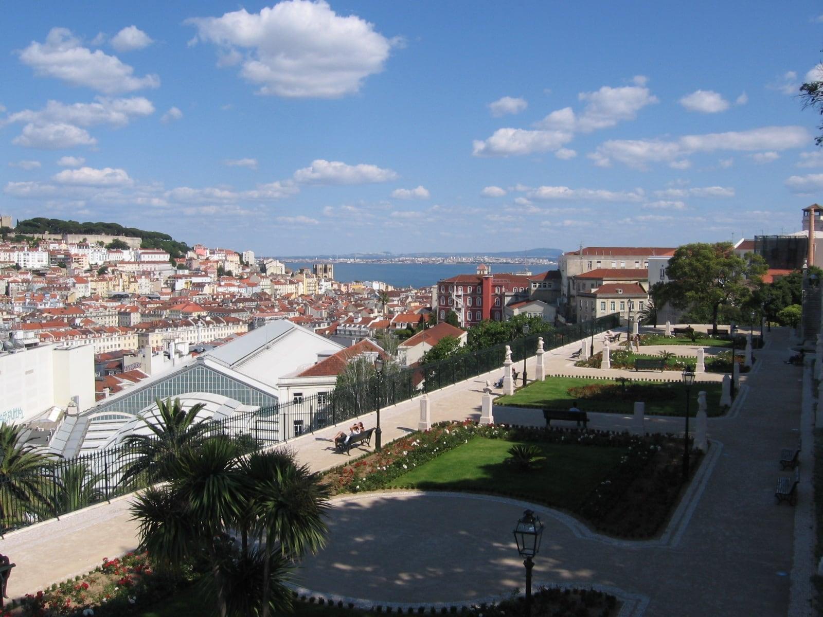
A little further on, the Jardim do Príncipe Real carries the longer list. By 1740 a count's unfinished palace stood here in ruins, used as the quarter's rubbish tip. It was sold to the Jesuits for a college, and the earthquake of 1755 ended that. A basilica held its first Mass in 1756, and a fire destroyed it in 1771. A royal treasury was begun in 1789 and abandoned in 1797 with two courses of stone above the ground.
What held was a garden, and the reason it held is underneath it. Below the eight-sided lake is a reservoir finished by 1864, an eight-sided chamber whose thirty-one pillars, each more than nine meters tall, carry the tank. It fed public fountains, including one on the terrace two stops later. After a century of palaces, the plan that stuck was a park on a water tank. The great Mexican cypress whose crown is trained flat over a metal frame, which everyone calls a cedar, was planted around the time the garden was made.
The terrace of São Pedro de Alcântara repeats the lesson. It was built in the 1750s as a platform for a fountain and aqueduct, not a view, and only opened for good as a garden in 1864. Waterworks became a park, again.
The slope: a plan that worked
Hear a stop from this walk
Miradouro de Santa Catarina: the Storm Giant
From Rua Dom Pedro Quinto, the ridge road, you look straight down Rua da Rosa, the one street that crosses the whole quarter. It looks ruled across a map, because it nearly was. In 1513 the family holding this land agreed with Bartolomeu de Andrade and his wife that they would sublet it in plots. Its first name was Vila Nova de Andrade, Andrade's New Town. Each plot used a medieval farm measure of about thirteen meters by seven. Streets run down toward the river and lanes run across, an almost-grid more than two centuries older than the famous one in the Baixa. By 1527 there were 408 buildings and 1,600 people.
The tall apartment fronts along the ridge road are a nineteenth-century screen. The quarter began far down the slope, and this top edge came last.
The plan's turn happens at Travessa da Queimada, stop 8, and you have to take it from the map rather than the eye. On the river side of that lane the blocks follow the first layout. On the ridge side they keep the same shape and the same plot measure but rotate, so their long sides face the lanes. The national heritage record reads that turn as an opening toward São Roque, the Jesuits' church you passed a few minutes earlier, and the start of a second phase from 1553. Same grid, different direction: you are standing on the join.
São Roque itself, at stop 7, is plain on purpose. The heritage record calls the cut-stone front austere, which is what the Jesuits wanted outside. The site began as a plague chapel of 1506, the order took possession on 1 October 1553, and the church opened for worship, still unfinished, twenty years later. Inside, if it is open, there is one wide nave and side chapels on the scheme of the Jesuits' church in Rome.
Reading a house, and a newspaper street
At Rua da Rosa the walk teaches you to read a single front. Look for a narrow band with few windows: that is the staircase, running up one side wall of a long, narrow plot, which is why so many fronts here are lopsided. The quarter grew so dense that only the top floors get good sun.
Then the second filling. Rua do Diário de Notícias was laid out in the 1530s as Caulkers' Street, for the men who tarred ships' planks. Eduardo Coelho's Diário de Notícias, founded in 1864, worked in this quarter for seventy-six years before moving to the Avenida da Liberdade in 1940, and the street took its name. By the late 1800s the quarter had thirteen morning papers and eight evening ones, many in nobles' former palaces. The sports paper A Bola left its building on the lane only in February 2024. The bust of Coelho, with a barefoot newsboy at its foot, stands back on the São Pedro de Alcântara terrace.
How to walk it
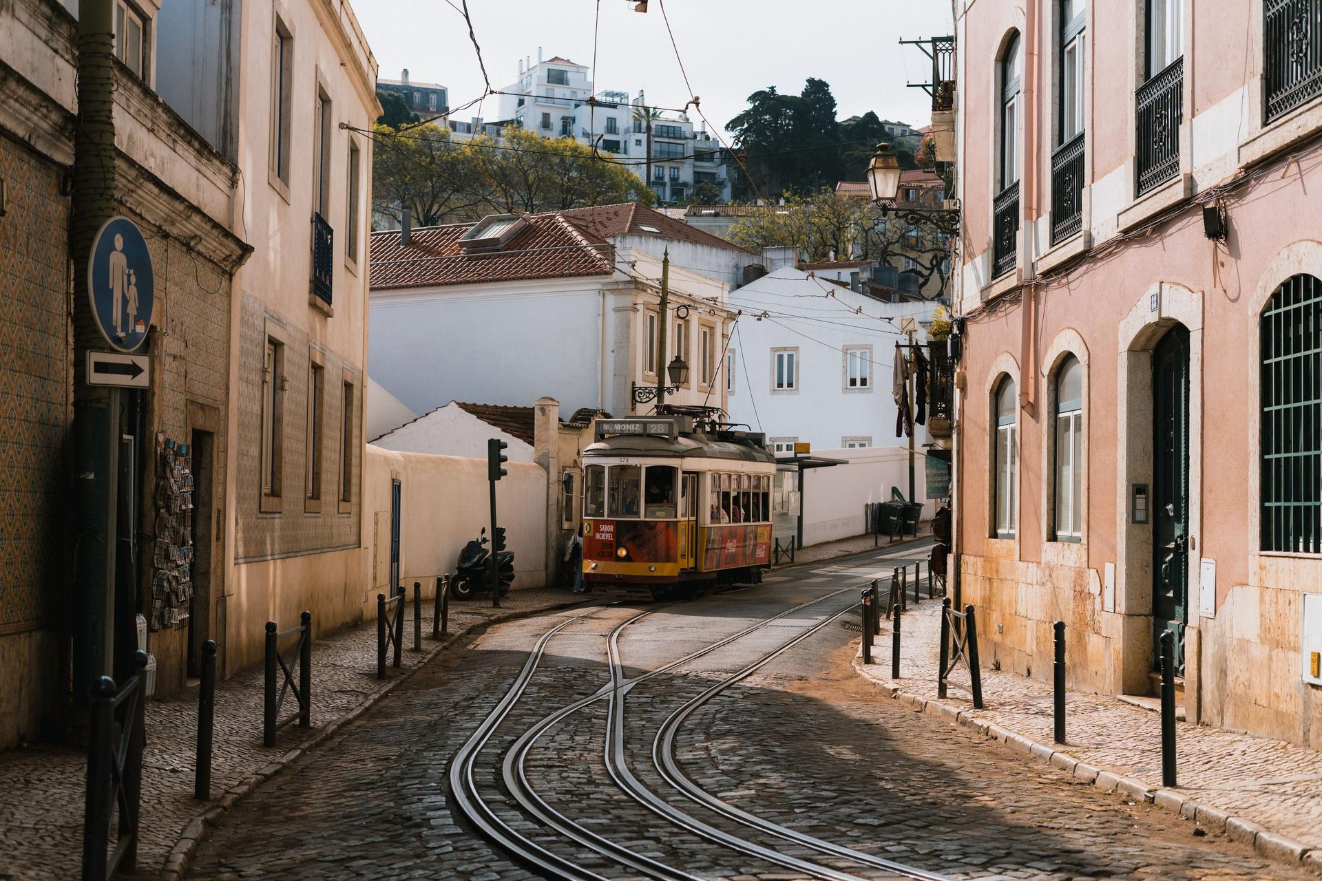
The route is twelve stops over about 1.8 kilometers, about seventy minutes, high and nearly level until it drops toward the river at the end, with no flights of stairs. Two low streets are steep, narrow and shared with cars, and you cross tram tracks four times. The Botanical Garden and São Roque's museum are ticketed, and every stop works from the street. These are lived-in lanes, quiet by day and loud at night, so it suits a daytime walk at your own pace, with the option to linger at either viewpoint or skip ahead.
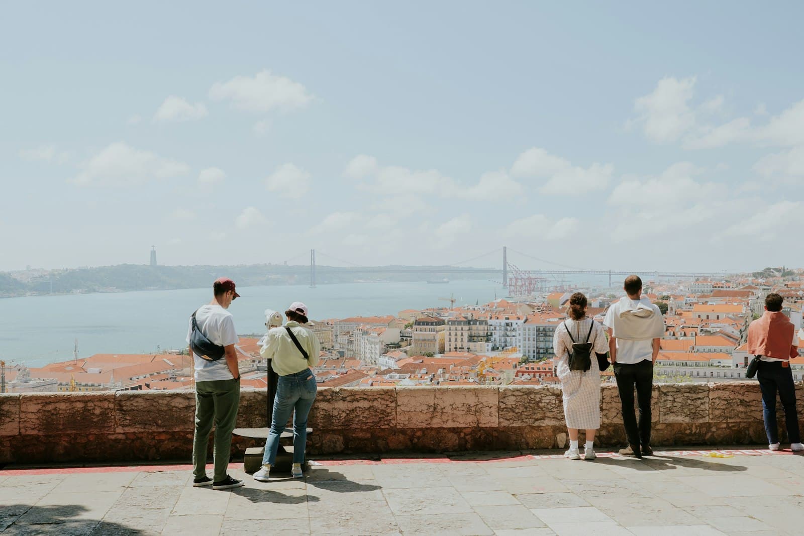
It ends at the Miradouro de Santa Catarina, by the stone Adamastor, the storm giant of Camões's Lusiads, set here in 1927. The terrace closed in 2018 and reopened in October 2019 with a fence and night hours, after a real argument about who a viewpoint belongs to. It is a fitting last stop for a hill whose plans have always been argued over.
Begin at stop 1 of Bairro Alto and Príncipe Real: A Hill Planned Twice, and find the other walks on the Lisbon page.
Sources
- SIPA heritage record, Bairro Alto (via Wayback): the 1513 contract, the plot measure, the turn of the blocks toward São Roque and the phase from 1553.
- Museus da Universidade de Lisboa, history: the novitiate, the college of nobles, the polytechnic, the 1878 garden and the 1978 fire.
- Open House Lisboa, Reservatório da Patriarcal: the reservoir under the Príncipe Real lake.
- Visit Lisboa, the century-old tree of Príncipe Real: the Mexican cypress trained as an arbor.
- Diário de Notícias archive, the Fleet Street of Portugal: the newspapers of the Bairro Alto.
- A Bola, a short history of its headquarters: the paper's years on Travessa da Queimada.
- Notícias ao Minuto, the Adamastor viewpoint reopens: the 2019 reopening of Santa Catarina.
Ready to experience it?
Bairro Alto and Príncipe Real: A Hill Planned Twice
70 min · 1.8 km · moderate
More from Lisbon
Explore more at your own pace.
Best Architecture Walking Tours in Lisbon (2026)
Camões's Tomb at the Jerónimos: The Poet and the Doubt
The Jerónimos Monastery in Lisbon: What to See, Space by Space
Parque das Nações: How Expo 98 Was Built Out of What It Demolished
São Jorge Castle and Mouraria: A Lisbon Hill That Sorted Its People