Huinnyeoul Culture Village: The Cliff Path
60 min · 0.8 km · moderate
The Jeoryeong Coastal Walk is a roughly three-kilometre cliff trail along the southern coast of Yeongdo island in Busan, and the single most useful thing to understand while walking it is that this shore was closed ground within living memory. According to the region's records, the coast was a military-protected area, sealed off because the terrain was so steep and perilous. It was converted into a public walking trail beginning in the year 2001. So the path under your feet, quiet and open and beside the sea, was off-limits until quite recently. That is not a footnote. It is the whole reason the walk feels the way it does.
A shore that used to be forbidden
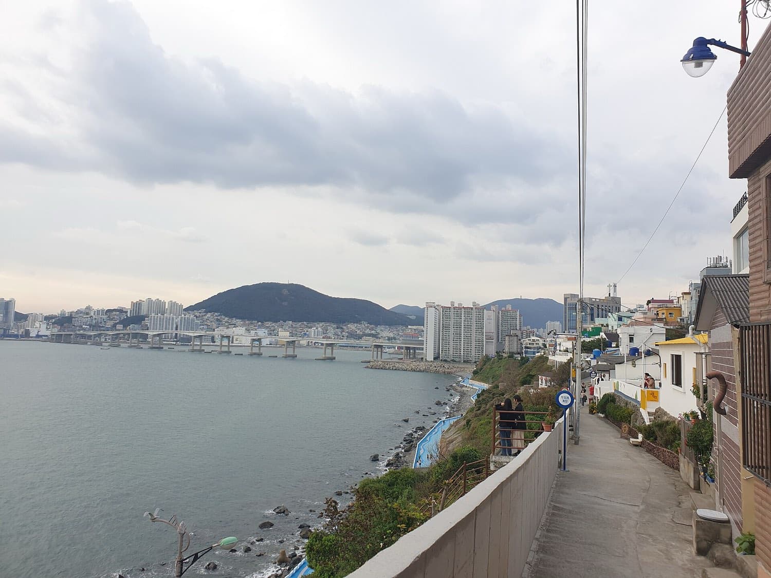
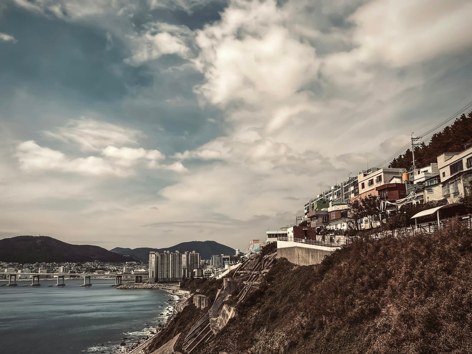
Yeongdo is Busan's island across the harbour, and its southern edge is a wall of rock that drops to open water. For a long time this was one of the harder shores to reach on the island, before modern roads were cut through, which tells you something plain about how remote the stretch once was. The steepness that made it dangerous also made it defensible, and it was held as a military-protected zone rather than a place people strolled. When you walk the Jeoryeong path today, the drop-offs beside you are real, the rock is genuine rather than landscaped, and the edges have not been softened into a park. That rawness is the leftover of the closed years. The trail was built onto the coast, not carved out of it.
The opening from 2001 onward turned a restricted shore into a public one through small, deliberate touches rather than heavy construction. Tile mural paintings and coloured mosaics are set into the walls. Wave patterns are worked into the flooring underfoot. Natural rock formations were left exactly as they are, and the trail's records also note a suspension bridge strung between rocks where the coast breaks. None of it tries to tame the cliff. The design lets the shore stay a shore while making it possible to move along it at a walking pace, which is a gentler kind of intervention than most tourist trails receive.
Where the trail sits in the walk
Hear a stop from this walk
The Cliff-Top Lane: Huinnyeoul Culture Village Entrance
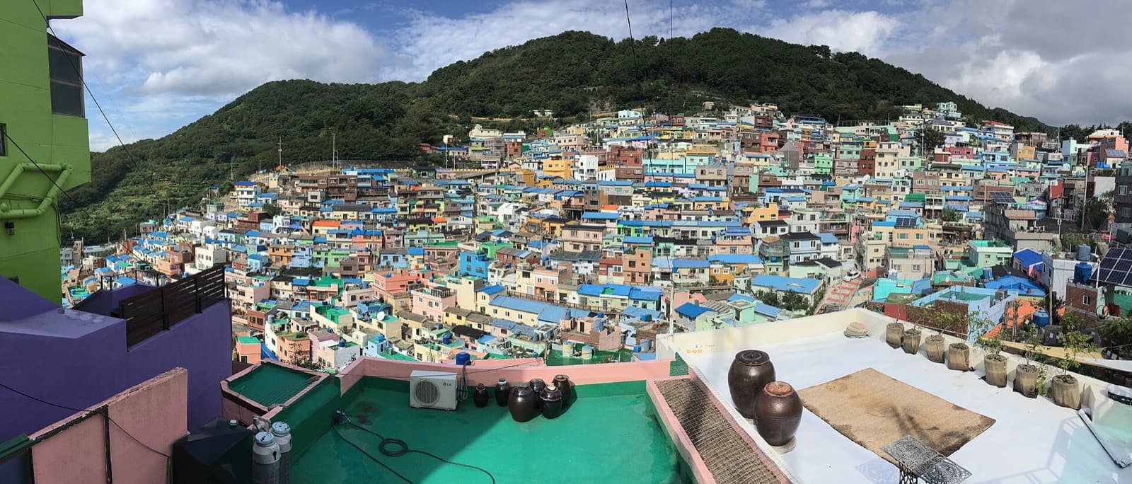
The Jeoryeong Coastal Walk connects the base of Huinnyeoul Culture Village toward the Taejongdae area, running along the rocky southern coast between them. On the self-guided busan-huinnyeoul-culture-village route it comes after the working fishing shore below the village and before the final overlook, which places it at the point where the walk fully belongs to the sea. Above you sit the small white houses of Huinnyeoul, a Korean War refugee settlement built on a cliff nobody else wanted, when Busan served as the provisional capital of the Republic of Korea for 1,023 days and its population swelled from a few hundred thousand to around a million as displaced families arrived. Below you the water is still worked: the shore just beneath is part of Busan's South Port, called Namhang, used mainly by coastal and fishing boats. The Jeoryeong path threads between those two facts, the refuge above and the working sea below.
That layering is the quiet argument of this stretch. You can walk it purely as a scenic cliff trail, and it holds up as one: closer to the water than the famous sites across the city, quieter, with the light coming off the open sea. But the coast carries more than a view. The same water that makes the postcard is the water that made Busan a wartime refuge, and the same rocks that make the trail beautiful are the rocks that kept it sealed for years. Holding both at once is the more honest way to walk it.
What to notice, and how to walk it safely
Out on the water, ships pass, some of them very large, riding the lanes in and out of the harbour toward the Port of Busan, the largest and busiest port in South Korea. Watching them from a cliff that was itself off-limits not long ago is a strange and good feeling: the sea below has been controlled, worked, and defended, and now you are simply allowed to stand beside it. Take your time. The trail rewards a slow pace, and there is no schedule pushing you along.
The safety points are not decorative. The trail runs over natural rock beside real drop-offs, and wet stone turns slick fast. Stay on the marked path and watch your footing, especially in rain or high wind, when the coastal rocks become genuinely dangerous. The clifftop lane above and the open shore give almost no shade, so carry water and a hat, particularly in summer. Wear shoes with grip, because the surface is uneven where the natural rock was left in place. Everything here is free to enter, so budget your day around transit and food rather than tickets. Reaching Yeongdo takes the Busan subway plus a local bus, since the cliffside villages are not directly on a subway line.
One more thing that carries through the whole route: Huinnyeoul is a lived-in residential village, not a film set. Keep your voice low in the lanes above the trail, do not photograph into homes, and let the residents have their quiet. The Jeoryeong Coastal Walk earns its calm partly from the people who actually live on this cliff, and that calm is worth protecting.
Walk it in order
The Jeoryeong Coastal Walk is best understood as the middle movement of a longer coastal story rather than a standalone attraction, which is why it rewards walking the full sequence from the clifftop lane down to the harbour overlook. If you want the closed-shore history, the refugee village above, and the working port below to connect the way they should, follow the busan-huinnyeoul-culture-village self-guided audio tour, which reaches this trail as its fifth stop and hands you the context at each point along the way. You can browse the rest of the city's routes through Busan walking tours and the Busan city page. Go in late afternoon if you can, when the light softens on the water and the heat eases on the exposed rock, and let the walk be as slow as you like.
Sources
- VisitKorea, "Jeoryeonghaean Coastal Walking Trail": official tourism record confirming the three-kilometre length, the trail's former status as a restricted military area, and features along the shore including tiled walls and mosaics.
- Yeongdo District Office, "Jeoryeong Coastal Trail" (Eight Scenic Sites of Yeongdo): local government description of the trail's steep terrain, its former military zone status, and its opening to the public in 2001.
- VisitKorea, "Huinnyeoul Culture Village": background on the cliffside refugee settlement above the trail and its Korean War origins.
- Korea.net, "Tracing Busan's history as a city for refugees during Korean War": record of Busan as provisional capital for 1,023 days and its population rising to around a million as refugees arrived.
- Port of Busan, Wikipedia: reference confirming Busan as the largest and busiest port in South Korea and the fishing role of its South Port (Namhang).
Ready to experience it?
Huinnyeoul Culture Village: The Cliff Path
60 min · 0.8 km · moderate
More from Busan
Explore more at your own pace.
Busan Travel Guide: Days, Transport, Weather, Safety, Budget
Busan's War-Made City: How a Port Refuge Became a Painted Coast
Gamcheon's Refugee Origins: Reading Busan's Painted Hillside
Jagalchi Market: How Busan's Fish Market Explains the Whole Port City

The Stacked White Houses of Huinnyeoul: Busan's Cliff Village Beneath the Postcard