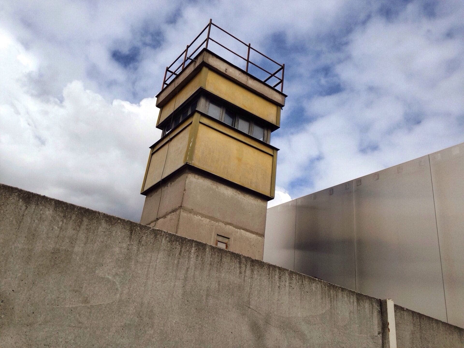
For twenty-eight years a wall ran straight through the middle of a living city, and the single place where the full depth of that border still survives in its original location is the Berlin Wall Memorial on Bernauer Strasse. The German name is the Gedenkstätte Berliner Mauer, and Gedenkstätte means memorial site. This is where a walk along the wall's line should begin, not because it is the most photographed stop but because it stays closest to the people the wall was built against. Everywhere else on the route the concrete is mostly gone, marked by a double row of cobblestones. Here a preserved section about sixty metres long still stands with its death strip intact, so you can read the whole system rather than imagine it.
The Border Ran Along the Housing Line
The detail that fixes Bernauer Strasse in the memory is where exactly the line fell. Along this street the border ran along the fronts of the apartment buildings themselves. The facades stood in East Berlin, while the pavement directly in front of them was already in the West. That single fact produced some of the most searing images of the early wall.
Think about the first days after the thirteenth of August, nineteen sixty-one, when the barrier went up overnight. People climbed out of their own apartment windows and dropped into the West on the far side of the sill. Families jumped from upper-storey windows into fire brigade nets held by West Berliners standing on the pavement below. The East German state answered by sealing the windows, then bricking up the buildings, and finally demolishing them. A row of homes became a fortified wall in stages, and the neighbourhood it belonged to was erased to make the border cleaner.
Ten people died in the area around this memorial, all of them in the nineteen sixties, five of them after jumping from these border houses. Those are not abstract numbers. They are the reason the site asks for quiet rather than photographs.
Reading the Death Strip
Hear a stop from this walk
Nordbahnhof: A Station with Two Doors
What the memorial preserves is the depth of the barrier, which is the thing most people misremember. The wall was never a single wall. The preserved strip here keeps the whole apparatus standing in sequence: the outer wall, the raked sandy strip that showed every footprint, the lit patrol road, the signal fence, and the inner wall. Standing beside it, you understand why escape was so rarely survivable. The zone was kept deliberately open so that anyone crossing had no cover at any point.
Two features anchor the site. The Window of Remembrance honours those who died at this stretch of the border. Nearby stands the Chapel of Reconciliation, consecrated in the year two thousand. It sits on the ground where the old Church of Reconciliation, the Versöhnungskirche, once stood. That church had been left marooned inside the death strip when the border sealed, and the regime demolished it in nineteen eighty-five, dynamiting a working church because it stood in the way of the killing ground. The chapel that replaced it is built of rammed earth, plain and low, and it is worth the few minutes it takes to step inside.
Why This Stop Sets Up the Whole Walk
The tour this article accompanies turns on a single paradox, and Bernauer Strasse is where you first feel it. A thing built to erase movement became the object this city most deliberately remembers. Berlin could have paved over its scar. Instead it kept the line visible on purpose, running a double row of cobblestones through the city centre so the route survives even where the concrete does not.
Roamer's walk here, Berlin Wall Memorial: Reading the Wall in Steel, carries that idea along the street itself: twelve stops over about two point two kilometres, roughly an hour and a quarter on foot. It starts at Nordbahnhof station and passes the Window of Remembrance, the Documentation Center, the preserved border strip with its watchtower and the Chapel of Reconciliation, then two tunnel sites and the corner where the border policeman Conrad Schumann jumped the wire, before ending in the Mauerpark, where the strip became a lawn and the last layer of the wall became a canvas anyone can paint.
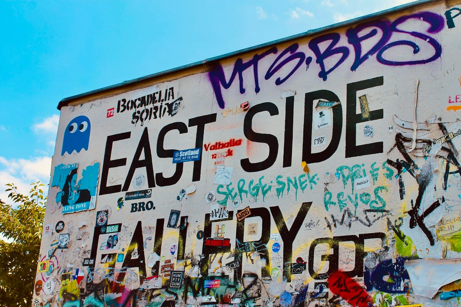
The rest of the wall's story sits on Roamer's other Berlin walks. Checkpoint Charlie and the Topography of Terror reaches the rebuilt crossing point, and the East Side Gallery walk follows the painted stretch along the Spree to the Oberbaumbrücke.
Walking It Well
Every stop on this route is a free public space, so the walk itself costs nothing. The preserved strip rewards patience, so give it unhurried time before you move on. Come on a weekday morning if you can, when the memorial is quietest. Late spring through early autumn gives you the long daylight and mild weather this outdoor walk wants.
Wear real walking shoes, and watch the tram tracks and the red cycle lanes along Bernauer Strasse. The walk runs one way, so arrive by S-Bahn at Nordbahnhof and leave from the Mauerpark by U-Bahn or tram. Buy and validate a transport ticket before boarding, since there are no gates but fare inspectors are frequent.
Above all, remember what the line is. At least one hundred forty people died at this wall between nineteen sixty-one and nineteen eighty-nine, so the route you follow is a grave line even where souvenir stands crowd it now. Keep your voice low at the Window of Remembrance and the Chapel of Reconciliation, and you will read the rest of the city more clearly for it. If you want to see how this walk fits the wider city, browse other Berlin walking tours or start from the Berlin city page.
Sources
- Berlin Wall Foundation, Berlin Wall Memorial (Gedenkstätte Berliner Mauer): official site describing the preserved strip, death strip, and Window of Remembrance.
- Chapel of Reconciliation, Wikipedia: consecration in the year two thousand on the site of the Versöhnungskirche demolished in nineteen eighty-five.
- Berlin Wall Foundation, The Berlin Wall: documented record of the border system and the count of at least one hundred forty people who died at the wall.
- List of deaths at the Berlin Wall, Wikipedia: the individual cases behind the memorial's toll, including those who died at Bernauer Strasse in the nineteen sixties.
- Checkpoint Charlie, Berlin Wall Foundation: history of the Allied crossing and the October nineteen sixty-one tank standoff.
Ready to experience it?
Berlin Wall Memorial: Reading the Wall in Steel
75 min · 2.2 km · easy
More from Berlin
Explore more at your own pace.
Berlin: The City That Reads Its Own Scar
Best Architecture Walking Tours in Berlin (2026)
Best Culture Walking Tours in Berlin (2026)
Little Istanbul at Kottbusser Tor: How Guest Workers Made Kreuzberg
The Memorial to the Murdered Jews of Europe: How Berlin Reads Its Own Reckoning