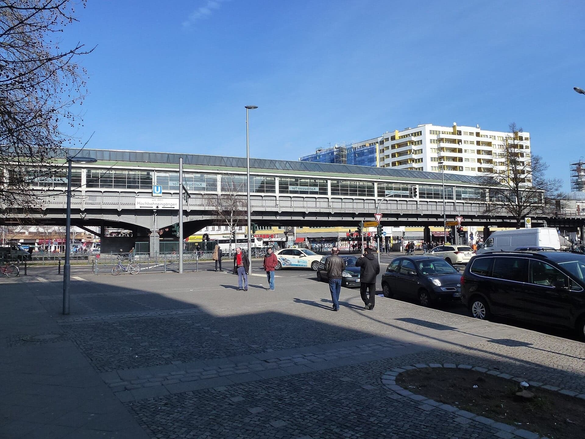
Stand at Kottbusser Tor, the square everyone in Berlin just calls Kotti, and you are standing at the point where a walled-in dead end turned into the district often called small Istanbul. The Turkish guest workers who filled low-rent Kreuzberg made this square, and this square makes the rest of the neighbourhood legible. A two-page labour agreement signed in 1961 sits behind the market stalls, the bakeries, and the fabric shops around you, and once you know that, Kreuzberg reads differently. Kotti is one stop on a longer walk, twelve stops through one of the most alive quarters in the city.
The square that only makes sense once you know who filled it
Kotti is loud in a way that takes a minute to settle into. The U-Bahn rattles overhead along Skalitzer Strasse. To the north a long, curving mass of concrete, the Neues Kreuzberger Zentrum, dominates the view. People call it the N K Z, and it was built between 1969 and 1974: twelve floors, roughly 367 apartments, meant to be modern and hopeful. It became, instead, the building nobody quite wanted. Flats were cramped, shopfronts stood empty, and the block deteriorated. Then it filled again, this time with immigrant and working-class life, and became one of the most recognisable symbols of the district.
That reversal is the pattern of the whole tour, and it starts with people, not architecture. On the thirtieth of October, 1961, in Bonn, West Germany and Turkey signed a labour recruitment agreement. According to the German Federal Foreign Office, it was a short, two-page document that allowed young workers to come for up to two years. Germany was in the middle of its postwar economic boom and short of labour, so it called these arrivals Gastarbeiter, guest workers, having already made similar agreements with Italy, Spain, and Greece.
The word guest turned out to be misleading. The two-year limit was abolished in 1964, people stayed, and families followed. In all, the Foreign Office reports that roughly 876,000 people came to Germany from Turkey as guest workers. Many settled here, in walled-in, low-rent Kreuzberg, because it was one of the few places in West Berlin cheap and open enough to take root in. By the 1990s the district was, in the words of its own chroniclers, perceived as small Istanbul. As of 2006, about 31.6 percent of its residents did not hold German citizenship. There is a line often quoted about this era: we called for workers, but people came. Walking Kreuzberg is walking the proof of it.
Why the Wall made this, instead of killing it
Hear a stop from this walk
Oranienplatz: Where the Canal Widened
Here is the counter-intuitive part worth carrying with you. When the Berlin Wall went up, Kreuzberg became a dead end, pressed on three sides by the border. Isolation usually empties a neighbourhood out. Anyone with options leaves. In Kreuzberg it did the opposite. Cheap, half-forgotten, and walled in, the quarter drew exactly the people the divided city had least room for: Turkish guest workers, artists, squatters, and young men avoiding the West German draft, which did not apply in the Allied-administered city. The confinement that should have hollowed the place out is what concentrated its life.
That is why a single square can stand in for the whole district. Kotti is not a monument. It is a working social hub, and it carries its difficulties honestly, including a documented reputation for drug-related activity over the years. None of that is smoothed over on this walk. What you see at Kottbusser Tor is the paradox in one frame: a place written off that stubbornly became a heart. To go deeper on the wider set of routes through the city, the Berlin walking tours hub gathers the neighbourhood and history walks that sit alongside this one.
From the square to the water: the living edge of the story
The market stalls and fabric shops around Kotti are the visible edge of a community that has been here for generations, and the tour follows that edge down to the canal. Walk toward the Maybachufer and, on Tuesdays and Fridays, the bank fills with an open-air market. Its official name, the Wochenmarkt am Maybachufer, is almost never used. Everyone calls it the Tuerkischer Markt, the Turkish market. On a full day, market guides report something like 180 traders: fruit and vegetables in bright stacks, Anatolian cheeses and olives, breads and pastries, and bolts of fabric sold by the metre, cut to length in front of you.
There is a small geographic honesty worth knowing before you go. The market physically sits on the Neukoelln side of the Landwehrkanal, with the quieter Kreuzberg bank directly across the water, because the border between the two districts runs right down the canal. So it is, strictly speaking, in Neukoelln. And yet it is inseparable from the immigrant food-and-fabric trade that grew out of the same guest-worker community you met at Kotti. This is where the walk ends, looking across the water from the Kottbusser Brücke. There is no single stall to seek out. The point is the whole thing, an ordinary twice-weekly gathering that is one of the truest portraits of the neighbourhood you will find.
How the full walk gets there
The tour does not tell only the immigrant story, because Kreuzberg is more than one layer. It begins at Oranienplatz, where the old Luisenstadt canal widened into a basin, and follows the filled canal bed through sunken gardens and across the old Wall strip, past the Bethanien hospital on Mariannenplatz. Then it walks Oranienstrasse, the main street of the old SO 36 postal district, which a 1960s renewal plan meant to clear for a motorway. After Kotti it crosses to the Landwehrkanal at the Admiralbrücke and passes the surviving wing of the Fraenkelufer synagogue before ending at the Kottbusser Brücke, facing the market bank.
Again and again the walk shows the lesson you read at Kottbusser Tor: a liability turned into character. A canal filled in and planted as gardens. A garden grown in no man's land. A street saved from a motorway. The twelve stops run about three kilometres in roughly an hour and a half, and the walk is yours to shape, so linger on the canal, skip a stop, or sit when you like. Let Little Istanbul teach you how to see the place, then follow the canal to the market. For where this walk sits among the city's other neighbourhoods and routes, see Berlin.
Sources
- German Federal Foreign Office, "60th anniversary of the Recruitment Agreement with Turkey." Primary source for the 1961 agreement, the 1964 abolition of the two-year limit, and the roughly 876,000 figure.
- Wikipedia, "Kreuzberg." Background on the district's guest-worker settlement, the small Istanbul perception, and the 2006 non-citizen residence figure.
- Neukoelln Tourismus, "Tuerkischer Markt." Details on the Maybachufer market days, location on the Neukoelln bank, and character of the trade.
- Wikipedia, "SO36." Venue history, the postal-code origin of the name, and Martin Kippenberger's 1979 involvement.
Ready to experience it?
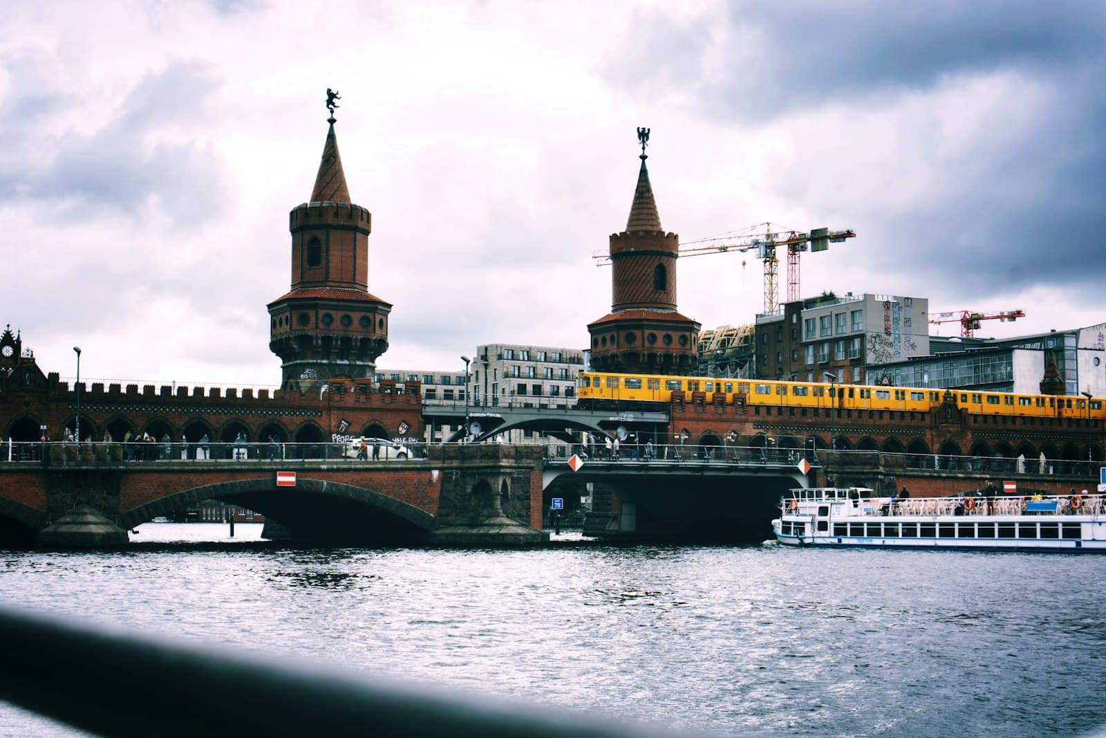
Kreuzberg: The Neighborhood That Nearly Became a Motorway
90 min · 3.1 km · easy
More from Berlin
Explore more at your own pace.
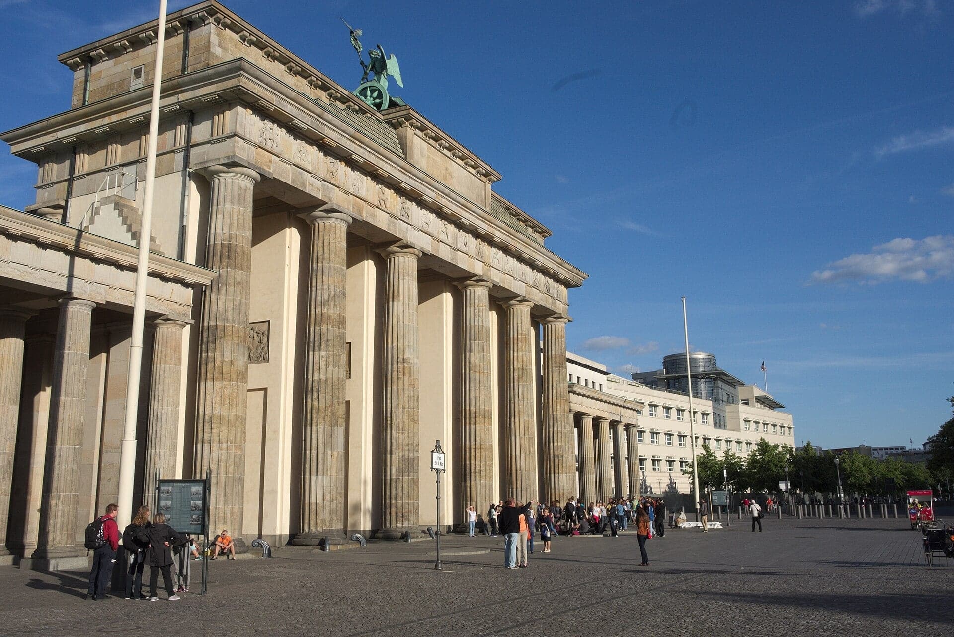
Berlin: The City That Reads Its Own Scar
Best Architecture Walking Tours in Berlin (2026)
Best Culture Walking Tours in Berlin (2026)
The Memorial to the Murdered Jews of Europe: How Berlin Reads Its Own Reckoning
Brandenburg Gate: The Triumphal Arch Marooned by the Berlin Wall