The royal builders of Ayutthaya worked with two shapes until those shapes became a kind of writing across the sky, and Wat Chaiwatthanaram is where that architectural language finally assembles into a single legible sentence. The tapering prang and the bell-shaped chedi are the two towering forms this walk teaches you to read, and the west-bank temple of King Prasat Thong lays both of them out as a working diagram of the Buddhist universe. If you learn the grammar before you arrive, the masterpiece stops being a pretty ruin and becomes a floor plan of the cosmos you can pace out with your feet.
Two shapes that meant Siam
For roughly four centuries the builders here spoke in two forms. The prang is a tall corn-cob tower that tapers toward heaven, an idea borrowed from Khmer temple building. The chedi is a bell rising from a rounded base, a form whose ancestry runs back through Sri Lanka. Ayutthaya's genius was holding both at once and letting each carry royal meaning. Most temple towns give you one idiom. This one gives you a full alphabet, and the western and riverside temples on this route are the clearest place to read it.
That is why the walk is built as a lesson in shapes rather than a checklist of sites. It runs about seven kilometres over six stops, roughly three to three and a half hours at a slow pace or by bicycle, and it includes a crossing of the Chao Phraya river. You start with an intact roofline so your eye knows what a whole temple looks like, then move through ruins you can complete in your mind, and end at the one composition where every shape you have learned stacks into a single silhouette. You can see the full sequence on the Ayutthaya walking tours hub, but the logic is worth understanding before you set out.
The vocabulary, learned in order
Hear a stop from this walk
Wat Chaiwatthanaram: The Cosmos as a Plan
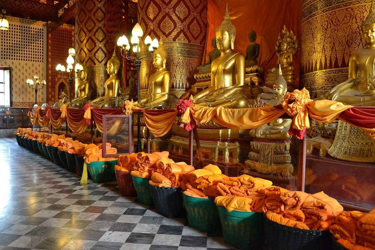
The route front-loads its teaching. It opens at Wat Na Phra Men, the one temple inside the city that the Burmese did not burn in the sack of the year 1767. According to accounts gathered by the Fine Arts Department, the invading army used it as a military headquarters, so it was spared the fire that leveled everything else. That grim accident of war is why you can stand under a complete tiered roof and a full silhouette before the walk turns to fragments. Inside sits a crowned bronze Buddha in full royal attire, about six metres high: a Buddha dressed as a reigning monarch.
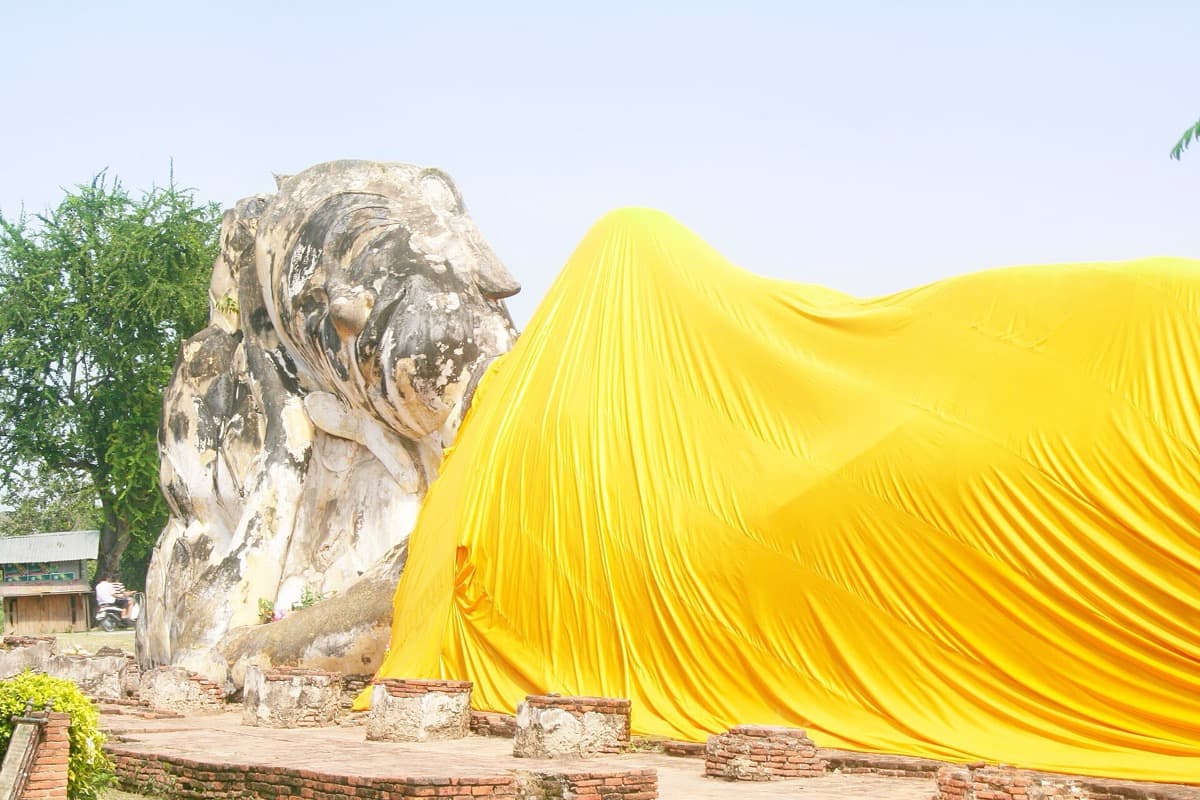
From there the grammar builds word by word. Wat Worachettharam gives you the chedi in its memorial register, a large bell rising to a spire ringed with about twenty-five stone bands, the harmika platform still square on top. Wat Lokayasutharam lays the whole register down flat with a reclining Buddha of roughly forty metres, its chapel columns long collapsed so the figure meets the open sky. Then you cross the river to Wat Kasattrathirat, a still-active monastery where monks live and worship, and where the central prang is thick, rounded, and plain, with no internal stairway. That is the tower as an ordinary builder reaches for it. Seeing the everyday version first is what lets you recognize refinement when you meet it.
Wat Chaiwatthanaram: the cosmos as a plan
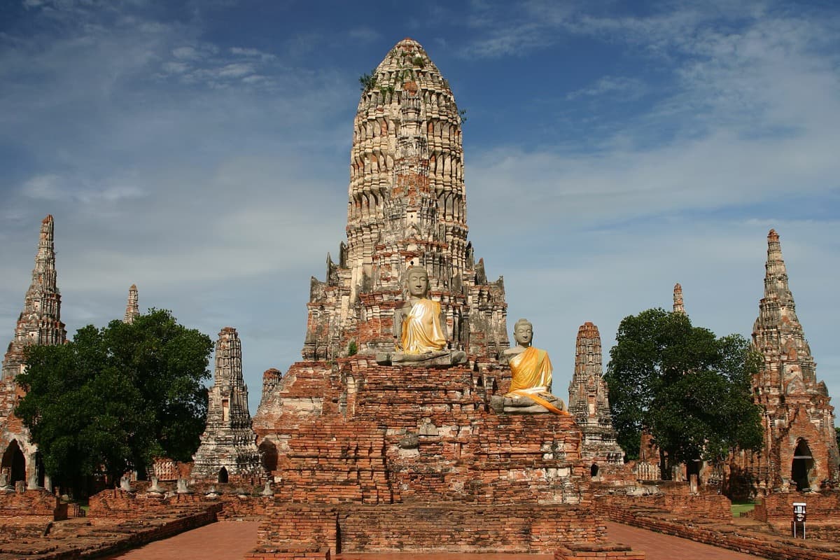
This is where the language becomes one sentence. Wat Chaiwatthanaram was built in the year 1630 by King Prasat Thong as the first temple of his reign, raised on a west-bank site tied to his mother's former residence. It is part memorial and part declaration, and the declaration is written as cosmology. The layout is a diagram of the Buddhist universe. The central prang, rising about thirty-five metres, stands for Mount Meru, the mountain at the center of the world. The four smaller prangs set around it on the same platform represent the four great continents floating in the world-ocean. The rectangular gallery that rings the whole ensemble stands for the wall of iron mountains that Buddhist cosmology places at the edge of the world.
Walk that gallery and you are pacing the boundary of a modeled universe. Ringing the central tower are eight chapels shaped like chedis, linked by a cross-shaped passage whose gallery wall once held around one hundred and twenty seated Buddha images, most of them now lost or headless. To build this was to claim the center of the cosmos for your reign. Stand at the foot of the central prang and read upward: continent, iron wall, Mount Meru. The skyline you spent the whole walk learning is here as a floor plan.
One honest note for your records, because it separates this tour from the postcards. Although Wat Chaiwatthanaram sits within the Ayutthaya Historical Park, it lies technically outside the boundary of the UNESCO-inscribed Historic City of Ayutthaya, so it is not itself a World Heritage Site, even though it is often photographed as the face of the city. It was badly damaged in the great floods of the year 2011 and has since been restored. Entry is fifty baht.
The silhouette that resolves
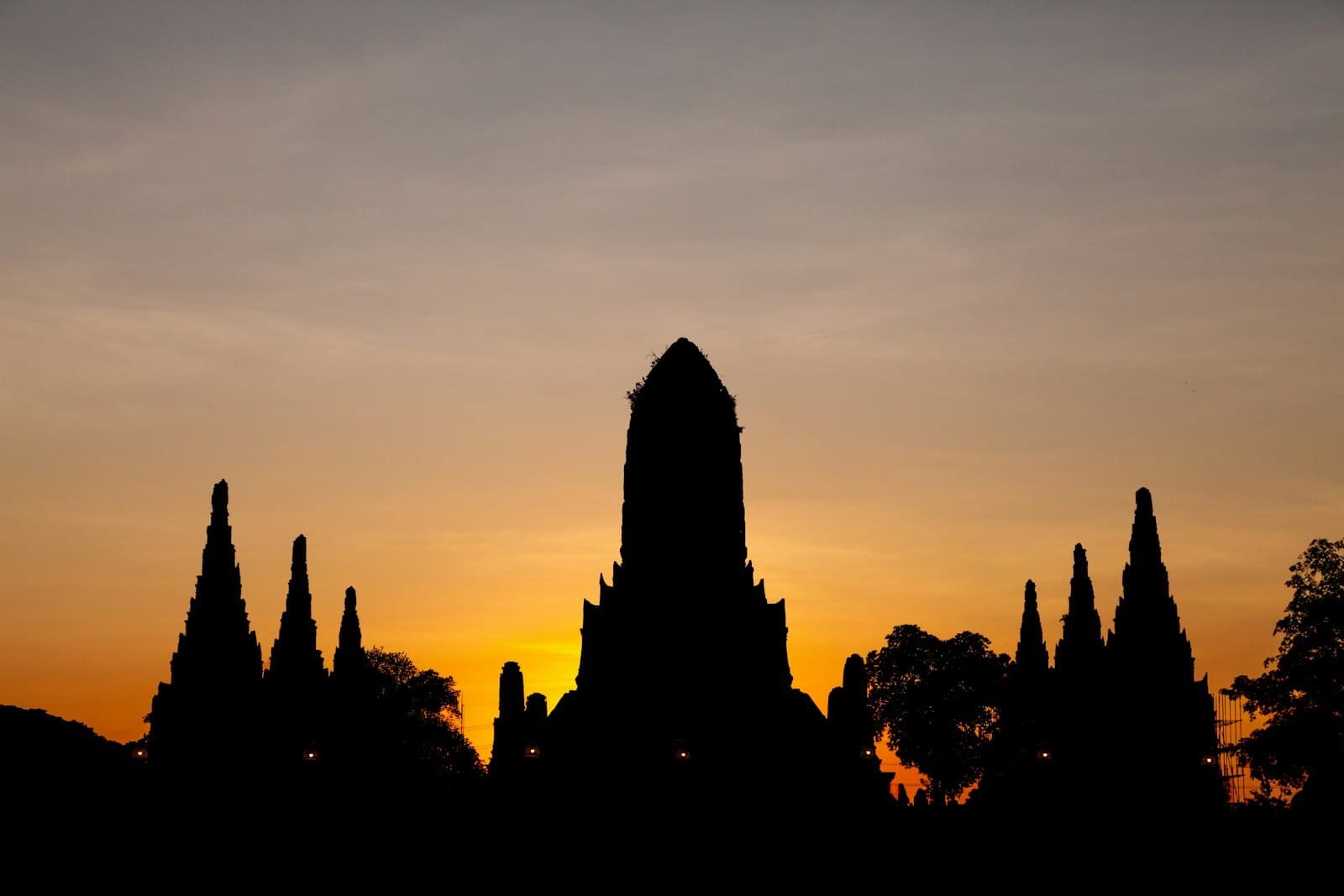
The walk ends where the temple ends, on its own riverbank. Wat Chaiwatthanaram faces west and stands on the west bank of the Chao Phraya, so the famous view is not something you cross the river to find. It is read right here, from the temple's own river frontage, looking back at the central prang with the water in front of you. Come at golden hour, the last soft light before sunset, and the low sun strikes the western faces of the towers directly, washing the prangs and the chedis in gold and red while the river doubles the whole outline in a mirror below.
That is the moment the grammar becomes legible all at once. The tall central prang for Mount Meru, the four smaller prangs for the continents, the gallery of iron mountains bounding the world, the bell-shaped chapels carrying the other great form the kingdom spoke in, all stacked into one outline against a burning sky, then again upside down in the water. It is the most photographed angle in the city, and standing here you understand it is not just pretty. It is the prang and the chedi and the cosmic plan reading as a single word that meant Siam.
That resolution is the whole argument of the walk, and it only lands if you arrive having learned the vocabulary first. Plan small cash for the two paid stops, slip-on shoes for the halls, plenty of water for the unshaded stretches, and a river crossing between the island and the west bank. Then start at the intact roofline and finish at the water. You can browse the full route and the neighboring temple walks from the Ayutthaya city page.
Sources
- Tour transcript and fact audit, The Architecture of Kings (Roamer, en.json, audit score 96): primary trusted source for every date, measurement, and attribution used above.
- Wat Chaiwatthanaram, Wikipedia: reign of King Prasat Thong, 1630 founding, cosmological plan, 2011 flood damage and restoration.
- Wat Na Phra Men, Wikipedia: survival of the 1767 sack and use as a Burmese military headquarters, crowned bronze Buddha.
- ayutthaya-history.com: detailed temple histories for Wat Worachettharam and Wat Kasattrathirat, including disputed attributions the tour flags rather than asserts.
Ready to experience it?
Wat Chaiwatthanaram: The Architecture of Kings
135 min · 7 km · hard
More from Ayutthaya
Explore more at your own pace.
Ayutthaya Travel Guide: Days, Transport, Season, Safety, and Costs
The Burned Capital: How Ayutthaya's Ruins Read the World That Made Them
The Excavated Dead of Ayutthaya's Portuguese Settlement
Wat Lokayasutharam: Reading Ayutthaya's Reclining Buddha
Wat Mahathat, Ayutthaya: The Buddha Head in the Tree Roots