The Stanley Park tour walks seven stops across four hundred hectares that most visitors read as untouched rainforest a young city had the foresight to protect. The walk's argument is that almost every part of that reading is a settler edit. The park is unceded Coast Salish land that was inhabited when it was "set aside," and the tour restores what the postcard leaves out.
Whose land this is
Stanley Park sits on the unceded traditional territories of the xʷməθkʷəy̓əm (Musqueam), Sḵwx̱wú7mesh (Squamish), and səlilwətaɬ (Tsleil-Waututh) Nations. No treaty was ever signed for it. The peninsula is a central confluence of all three Nations' territories, and on 16 May 2023 their flags were permanently raised at Brockton Point in a formal event with the City of Vancouver. When the audio says "you are walking on Coast Salish land," it is a legal statement, not a courtesy.
The village under the lawn
Hear a stop from this walk
Lumberman's Arch: Xwáýx̱way
The clearest erasure is at the Lumberman's Arch lawn. This grassy clearing was the site of the Coast Salish village of X̱wáýx̱way, transliterated by the Park Board as "Whoi Whoi," a name commonly glossed as a place of masks or masked ceremony. The village was inhabited for an estimated three thousand years by Squamish, Musqueam, and Tsleil-Waututh families, and a recorded longhouse here measured roughly sixty-one metres long. Potlatches were held here as late as 1875.
In 1888, the year the park opened, the Park Board's road crews excavated the village's shell midden, an accumulation of centuries of daily life, and ground the shell down to surface the park road. There was no archaeology. The village's neighbours watched it being carted away. The gravel of the first park road was, literally, the village.
The Squamish chief August Jack Khahtsahlano, born on the peninsula in 1877, recorded this in oral histories taken by city archivist Major J.S. Matthews and held as Conversations with Khahtsahlano. He described his family at the nearby village of Chaythoos hearing surveyors chop at the corner of their house in 1887, just after his father was buried there. The surveyors did not stop. The Vancouver neighbourhood Kitsilano is an anglicization of Khahtsahlano's own name.
The community that was evicted, cabin by cabin
The park was not only cleared of villages before it opened. From the 1860s to 1958, a multi-ethnic community of about a dozen families lived on the Brockton Point foreshore: First Nations, Portuguese, Hawaiian, Black, and Scottish residents on one stretch of shoreline. The historian Jean Barman documented them in Stanley Park's Secret (2005). The land was federal reserve leased to the city in 1886 for one dollar a year, and the category of "squatter" was applied to families who had been there first.
In 1923 the federal government launched a court case to remove them, won in 1925, and began burning cabins in 1931. The evictions ran in stages for thirty-five years. The last cabin belonged to Tim Cummings, born at Brockton Point in 1877; the Park Board removed him in 1958, when he was eighty-one. The Brockton "squatters" did not share the park with settlers. They were burned out of it on a schedule.
What the totem poles do and do not say
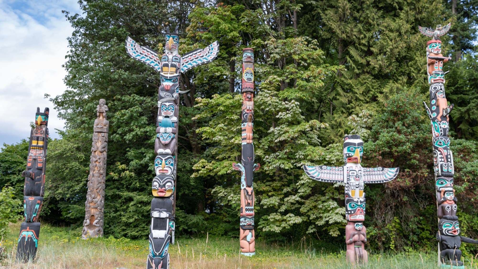
The grouping most visitors photograph, the Brockton Point totem poles, is a curated collection rather than an origin. None was carved at Stanley Park or by Coast Salish artists on this land; the poles were acquired from several nations, some from Alert Bay four hundred kilometres north, and assembled here from 1920 onward. They sit inside a bitter irony: the Canadian government's Potlatch Ban criminalized the ceremonies at which such poles were raised from 1885 to 1951. Settler Vancouver preserved the objects while the state suppressed the meaning. One pole, the Kakaso'las pole carved by the Kwakwaka'wakw artist Ellen Neel in 1955, was returned by the city to the UBC Museum of Anthropology in August 2024, in consultation with Neel's family.
The postcard, corrected
Deadman's Island, the small wooded island now flying an HMCS Discovery naval sign, is a former Coast Salish burial ground. Lost Lagoon is a tidal flat severed from the sea by a 1916 causeway. Even the name "Stanley Park," dedicated in 1889 to a colonial Governor General who barely knew the place, is a settler overlay on ground that already had names in three languages.
None of this makes the park less worth walking. It makes it worth walking honestly. For the larger pattern this fits into, read the thesis on erasure and reclamation, and to see the same dynamic in the built city, walk the Chinatown and Hogan's Alley history. The question the tour ends on is the one still unresolved on the ground: whose four hundred hectares is this?
Ready to experience it?
Stanley Park: Whose Four Hundred Hectares?
90 min · 5.25 km · easy
More from Vancouver
Explore more at your own pace.
One Day in Vancouver: A Walkable Downtown Itinerary (2026)
Chinatown After Hogan's Alley: What Displacement Did to Vancouver's Black and Chinese Blocks
Vancouver: The City Built on Erasure and Reclamation
Chinatown and Hogan's Alley: The Freeway Fight Vancouver Only Half-Won
Gastown: A Founding Myth Assembled in the 1970s