The Chinatown and Hogan's Alley tour walks eight stops across two adjacent neighbourhoods that were joined by a single highway plan in the late 1960s and split by its outcome. Vancouver remembers the freeway fight as a triumph. It was, for Chinatown. It was not, for the Black community one block south. The walk's job is to hold both truths on the same map.
The plan that would have cut through both
In 1967, the City of Vancouver, the federal government, and a private consortium called Project 200 approved an urban-renewal scheme that included a multi-lane elevated freeway. Its route ran down Carrall Street and through the Strathcona and Chinatown blocks. Under the era's language of "slum clearance," entire neighbourhoods were designated for demolition.
Two things then happened, in this order.
First: Hogan's Alley was demolished
Hear a stop from this walk
Sam Kee Building: The Six-Foot Answer
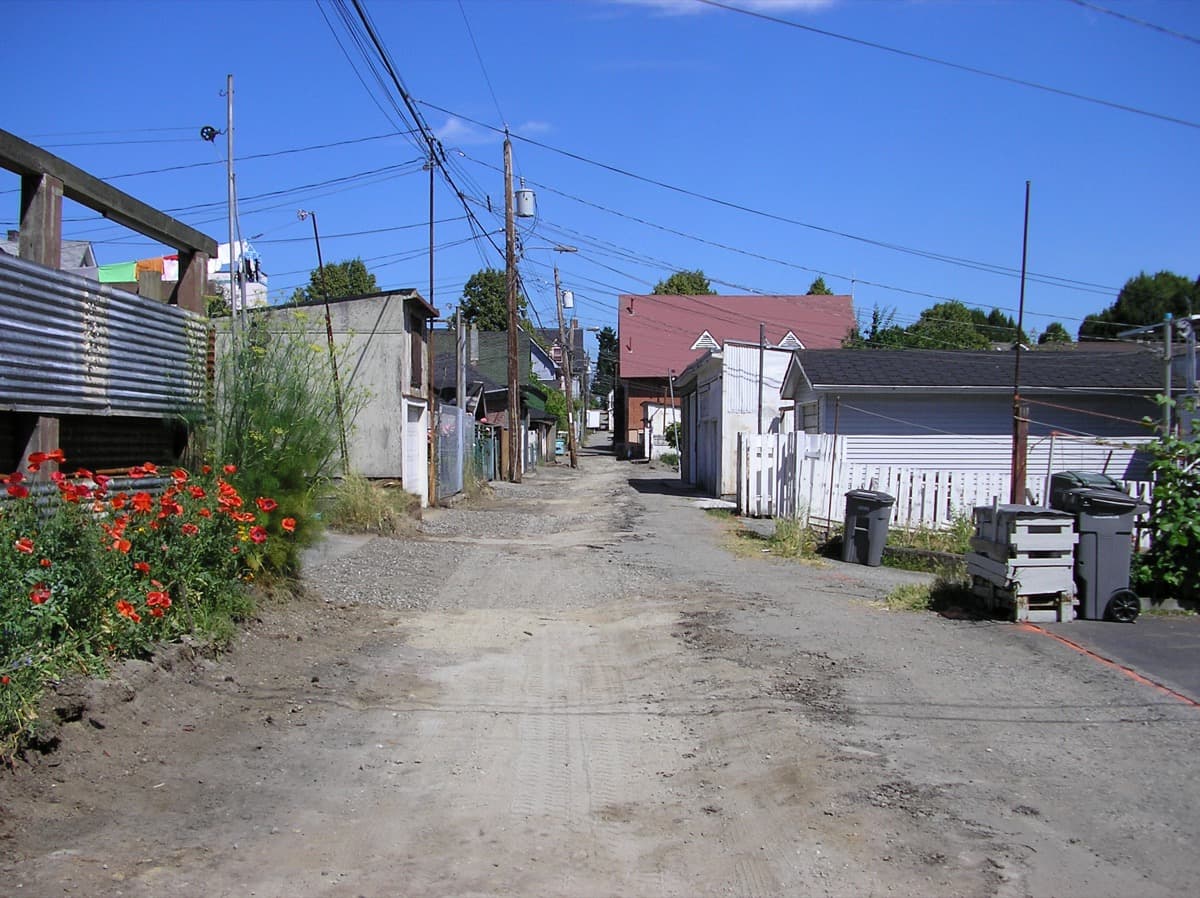
Beginning in 1967, the city razed the western half of Hogan's Alley, the small district that was the centre of Vancouver's Black community, to build the Georgia Viaduct. The viaduct opened in 1971. The community that had anchored around the African Methodist Episcopal Fountain Chapel and Vie's Chicken and Steak House was scattered.
This was the freeway's first phase, and it came through. Nobody stopped it. That sequence is the uncomfortable core of the tour: the celebrated fight to stop the highway began only after the highway had already destroyed the neighbourhood with the least power to resist it.
Then: Chinatown organized and won
In 1968 the Strathcona Property Owners and Tenants Association (SPOTA) was founded by the Chan family together with Bessie Lee and others. On 8 November 1967, federal housing minister Paul Hellyer toured Strathcona with Shirley Chan and the city planner Darlene Marzari, and afterward froze federal urban-renewal funding nationwide. The Chinatown Freeway Debates ran from 1968 to 1972, and in 1972 a 21,000-signature petition and a new city council under Mayor Art Phillips killed the freeway's second phase before it could cut through Chinatown.
The tour visits the Walter and Mary Lee Chan House, the SPOTA "kitchen" where much of that organizing happened. It is a real, specific victory, and it deserves the credit it gets. The honest framing is only that it was a second-phase victory. The Chans saved Chinatown. The first phase had already taken Hogan's Alley.
Chinatown's older architecture of resistance
The freeway was not the first hostility Chinatown organized against, and the tour walks the earlier record too. The Sam Kee Building at 8 West Pender is the clearest artifact. In 1912, in the atmosphere that followed the 1907 anti-Asian riot, city council expropriated most of a corner lot belonging to the merchant Chang Toy to widen Pender Street, cutting his property to about six feet deep and expecting it to be unbuildable. He built on it anyway, and it stands today as the narrowest commercial building in the world, a permanent architectural rebuke. In 2018 the city formally apologized for that expropriation, 106 years later.
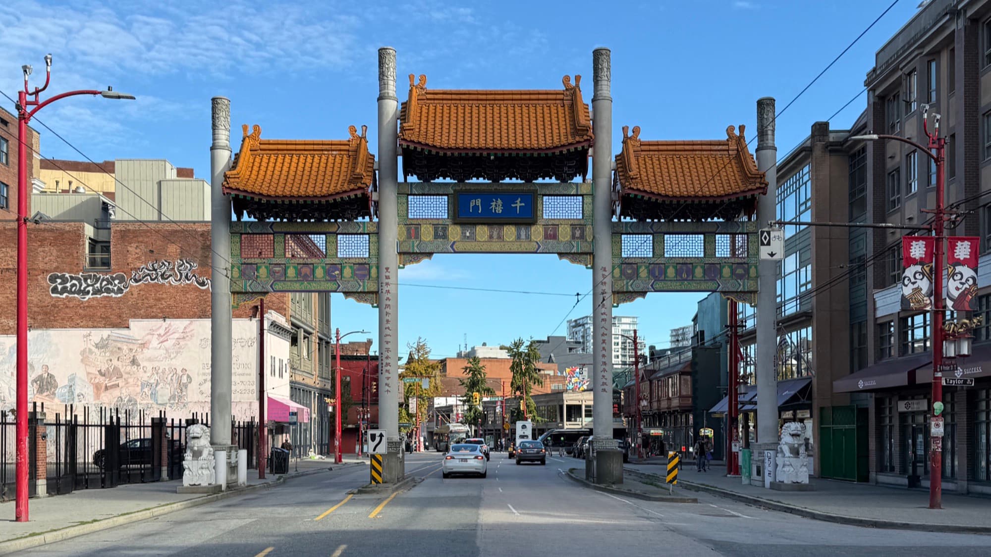
The Millennium Gate, the Sam Kee, the Wing Sang Building, and the Dr. Sun Yat-Sen Classical Chinese Garden all read, in the walk, as generations of the same community asserting its presence against a city that repeatedly tried to shrink it.
Why the two neighbourhoods belong on one walk
Putting Chinatown and Hogan's Alley on a single route is the argument. They shared a freeway plan and a decade, and they did not share an ending. Chinatown had property owners, numbers, and the organizing muscle to force a policy reversal. Hogan's Alley, smaller and more marginalized, was cleared first and has still received no apology comparable to the one Chinatown got in 2018. A street was renamed for Nora Hendrix in 2021, and the Hogan's Alley Society is now organizing a community land trust for the ground the viaduct is scheduled to leave behind, but the restitution is unfinished.
For the fuller reckoning with what displacement did to these specific blocks, read the neighbourhood piece on Chinatown after Hogan's Alley. For where this fits in the city's larger pattern, see the thesis on erasure and reclamation. Then walk the route, and watch the map refuse to let you round the story up to a clean win.
Ready to experience it?
Chinatown and Hogan's Alley: The City That Almost Built a Freeway Through Its Memory
55 min · 1.9 km · easy
More from Vancouver
Explore more at your own pace.
One Day in Vancouver: A Walkable Downtown Itinerary (2026)
Chinatown After Hogan's Alley: What Displacement Did to Vancouver's Black and Chinese Blocks
Vancouver: The City Built on Erasure and Reclamation
Gastown: A Founding Myth Assembled in the 1970s
Hogan's Alley: The Black Neighbourhood Vancouver Razed for a Viaduct