Old Montreal: From the Founding Fort to the Old Port
90 min · 2.9 km · easy
Montreal is usually described as a bilingual city. That is true and it explains almost nothing. A more useful sentence is this: Montreal is two cities that agreed on a border, and a third city that grew up in the seam. The border is a street. Learn which side of it you are standing on and the whole island becomes legible.
The line was drawn in 1792
The street is Boulevard Saint-Laurent, universally called the Main. It runs north from the river up the spine of the island. In 1792, after about thirty years of British rule, Saint-Laurent became the official dividing line between the eastern and western parts of the city, and it is from then that people started calling it the Main. You can still see the line on any street sign: house numbers start at Saint-Laurent, and a cross street changes from Est to Ouest as it crosses it, Rue Prince-Arthur Est on one side, Rue Prince-Arthur Ouest on the other.
The split that grew around that line was social and economic rather than legal. To the east lay the French-speaking working-class districts. To the west, up the slope toward Mount Royal and the enclave of Westmount, lay the wealthier English-speaking districts on the mountain's southern side. For most of two centuries the two populations shared an island, a river and a mountain without fully sharing a language or a parish. In 1945 the Montreal novelist Hugh MacLennan gave the arrangement its permanent name in the title of his novel Two Solitudes.
The seam had its own city
Hear a stop from this walk
Champ-de-Mars: The Old City Walls
The interesting part is not the two sides. It is the middle. Successive immigrant waves found their first footing on Saint-Laurent and its side streets, many of them working in the garment factories that appeared along the boulevard at the end of the nineteenth century. When Canada made the Main a national historic site in 1996, it did so as "the immigrants' corridor," a place speaking to the emergence of the country's cultural communities.
The largest of those waves was Jewish: Yiddish-speaking Eastern European Jews dominated the boulevard until the 1950s. You can still taste what they built. Schwartz's, a smoked-meat counter opened in 1928 by Reuben Schwartz, a Jewish immigrant from Romania, is still at 3895 Saint-Laurent, and further north the wood-fired bagel bakeries of Fairmount and St-Viateur still work the way their founders set them up. Our Plateau and Mile End walk passes all three.
Other waves layered onto the same corridor: Chinese, Jewish, Portuguese and Italian, in the local historical society's account. The Portuguese, most of whom came after 1953 and mainly from the Azores, left the clearest mark in a little park with a tiled kiosk, Parc du Portugal, where Leonard Cohen would make his Montreal home. The immigrant city is not a footnote to the two solitudes. It is a third Montreal, built in the gap the other two left open.
A songwriter on the line
One address shows how close to the line the city's best-known people lived. Leonard Cohen grew up Anglophone in Westmount, on the western slope. By the early 1970s he had bought a house at 28 Rue Vallières, a few steps east of Saint-Laurent, directly across from Parc du Portugal, and he lived there for more than forty years. It is a private house with no plaque; fans leave small stones on the step. Whatever his reasons, the address sits right in the seam: east of the Main, beside the Portuguese park, a short walk from Schwartz's.
How to use the map on any walk
Once you hold the line in your head, every Montreal neighborhood explains itself:
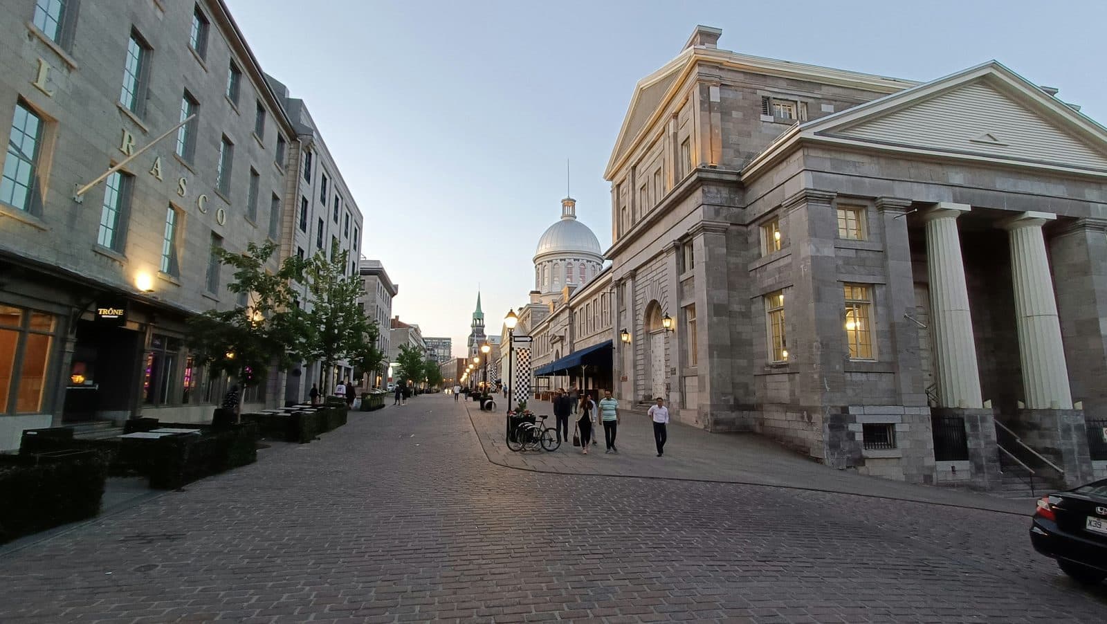
- Old Montreal is where the city began, the French mission of 1642 that later became a port. It sits below the modern grid, south of downtown on the river. Walk it and you are reading the French town before the British one grew around it. That is the subject of our Old Montreal walk.
- Downtown and the RÉSO underground city are the commercial Montreal that grew west of the Main in the twentieth century. A single American developer, William Zeckendorf, and I. M. Pei's office started the underground network under Place Ville Marie in 1962. See how the underground city grew by accident.
- The Plateau and Mile End sit on either side of the Main's upper stretch, the Plateau to the east and Mile End mostly to the west, and they are where all three cities overlap in a few blocks. The layering is easiest to read on foot, starting with the outside staircases on the houses.
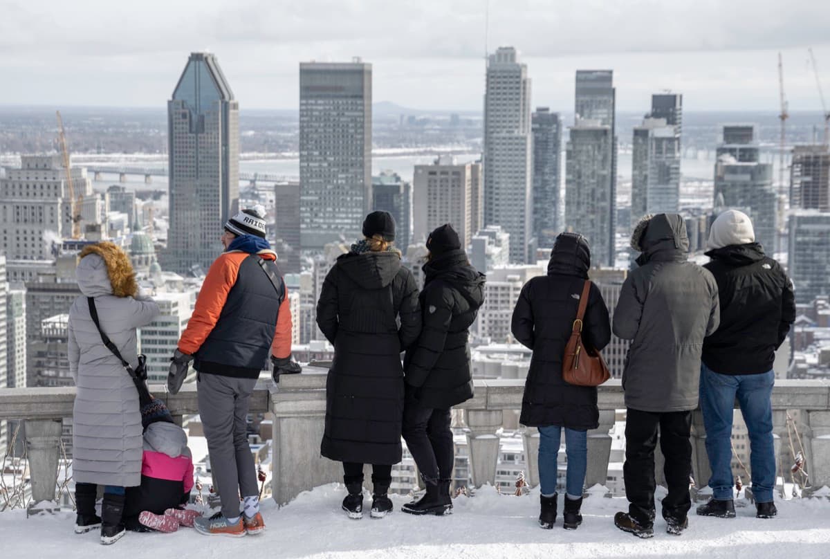
- Mount Royal, the mountain at the center, is the one thing that belongs to no side. Everyone looks up at it, and the city eventually wrote it into its plan as a height limit: no downtown building may rise above the summit, 232.5 metres above sea level. Our Mount Royal walk climbs to the lookout over downtown.
Montreal is not confusing. It is layered, and the layers are ordered by a single street. Start at the Main, decide which way you are facing, and the city stops being a puzzle and starts being a map.
Comparing the routes? See our guide to the best self-guided walking tours in Montreal, or browse the history walks.
Frequently asked questions
- What is 'the Main' in Montreal?
- The Main is the local name for Boulevard Saint-Laurent, the street that runs north from the river up the spine of the island. In 1792, after about thirty years of British rule, it became the official dividing line between the eastern and western parts of the city. Today house numbers still start at Saint-Laurent and cross streets change from 'Est' to 'Ouest' as they cross it. It became the practical dividing line between the wealthier English-speaking west and the French-speaking east, and the corridor where successive immigrant waves first settled.
- Why is Montreal both English and French?
- Montreal was founded in 1642 as a French Catholic mission called Ville-Marie. After the British conquest of New France in 1763 it gained an English-speaking merchant and administrative class that concentrated west of Boulevard Saint-Laurent, while the Francophone majority remained to the east. The two populations lived on the same island for two centuries without fully merging, a coexistence the novelist Hugh MacLennan named 'two solitudes' in 1945.
- Which side of Montreal is English and which is French?
- Historically, west of Boulevard Saint-Laurent leaned Anglophone (Westmount, the downtown business core, McGill) and east of it leaned Francophone. The Main itself was neither: it was the immigrant corridor, home in turn to Chinese, Jewish, Portuguese and Italian arrivals. Those lines have blurred over time, but the geography still explains why a given neighborhood feels the way it does.
- What is the best Montreal neighborhood to walk to understand the city?
- The Plateau and Mile End, on either side of the Main's upper stretch, are the clearest places to read the layering, because that is where the immigrant corridor, its surviving Jewish food institutions and the Francophone neighbourhoods overlap in a few walkable blocks. Old Montreal shows the original French founding; downtown and the RÉSO underground city show the commercial city that grew west of the line.
Ready to experience it?
Old Montreal: From the Founding Fort to the Old Port
90 min · 2.9 km · easy
More from Montreal
Explore more at your own pace.
The Deli and the Bagel: Mile End's Jewish Food Map
The Future That Bankrupted the City: Reading Montreal's Olympic Park
Richler's Mile End: Moe's Cigar Store and the Bagel Ovens
The City with a Ceiling: A Companion to the Mount Royal Walk
Notre-Dame Basilica: One Church, Two Architects, Fifty Years Apart