The Plateau and Mile End walk runs nine stops and about three and a half kilometres, from a poets' square up the Main into the Mile End, and it carries one of the most useful ideas about Montreal in a few blocks: the city's old dividing line still runs through these streets, and you can read it in the houses, the food and one songwriter's front door. This companion follows the first half of the walk, where the line is easiest to see.
The line the walk keeps crossing
Everything on this route is oriented to one street: Boulevard Saint-Laurent, the Main. In 1792, after about thirty years of British rule, Saint-Laurent became the official dividing line between the eastern and western parts of the city. The split that grew around it was social: French-speaking working-class districts to the east, wealthier English-speaking districts on the mountain's southern side to the west. The Main itself became the immigrants' corridor in between, and in 1996 Canada made it a national historic site for exactly that. For the full geography, read how to read Montreal along the Main.
Carré Saint-Louis: the bourgeois square
Hear a stop from this walk
Rue Clark: Montreal's Outside Staircases
The walk opens at Carré Saint-Louis, which began as a city water reservoir inaugurated in 1851 and became a public square by 1880. Around it the French-Canadian bourgeoisie built large stone houses in an eclectic Victorian taste, with slate mansards, bay windows and big front staircases with wrought-iron handrails; the city's own heritage study calls the sector probably the most affluent in the borough. Poets lived here, Émile Nelligan among them, and his bronze bust stands in the square a few steps from his family's old street, Avenue Laval. The square sets up the contrast the rest of the walk exploits: a settled bourgeois quarter, one block from the corridor where newcomers arrived.
Prince-Arthur at the Main
The second stop stands where Rue Prince-Arthur meets Saint-Laurent. Look at the street signs: Prince-Arthur Est on one side, Prince-Arthur Ouest on the other. House numbers start here. This is the seam city, the corridor where Chinese, Jewish, Portuguese and Italian arrivals settled in turn, many of them working in the garment factories that grew up along the boulevard at the end of the nineteenth century. The walk uses this stop to make the abstract dividing line concrete under your feet.
Schwartz's: the surviving counter
A few minutes north is Schwartz's, the Hebrew delicatessen founded in 1928 at 3895 Boulevard Saint-Laurent by Reuben Schwartz, a Jewish immigrant from Romania. It is still at its original address, the smoked meat still marinated for ten days, smoked overnight, steamed and sliced by hand. Yiddish-speaking Eastern European Jews dominated the boulevard until the 1950s, and this narrow shopfront is one of the places where that world still does business. Look up the street, too: Kevin Ledo's 2017 portrait of Leonard Cohen fills the side wall of a building just to the north. The same story, told through food, is the subject of our companion piece on the Montreal deli and the bagel.
Cohen's door: a house on the line
The fourth stop is Parc du Portugal, named in 1975 for the Portuguese community that grew here after 1953, mostly from the Azores, with its tiled kiosk and a rooster on the roof. Directly across Rue Vallières is number 28, the house Leonard Cohen bought by the early 1970s and lived in for more than forty years. Cohen grew up Anglophone in Westmount, on the western slope. His Montreal address sits a few steps east of the Main, beside a Portuguese park, a short walk from Schwartz's. It is a private house with no plaque; fans leave small stones on the step. Whatever his reasons for choosing it, it is hard to find a house that sits more squarely in the seam.
That is the reading this companion offers. The Plateau is not simply a pretty neighbourhood that writers happened to live in. It is where the dividing line, the immigrant corridor and the French-Canadian streets press up against each other, and the architecture, the plex with its outside staircase, the corner deli, the tiled park, is what that looks like on the ground.
North into the Mile End
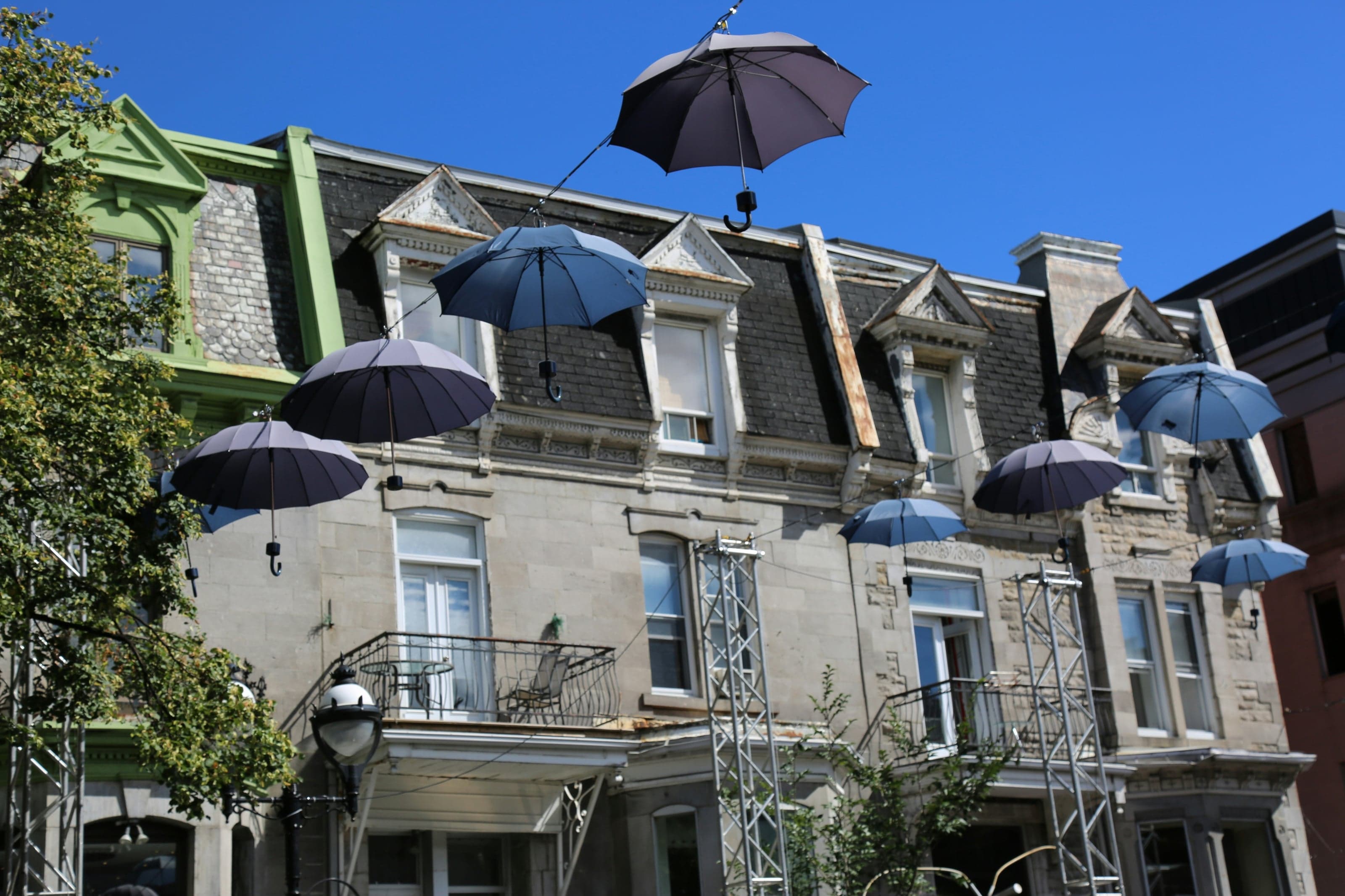
From the park the walk turns to the stairs. On the streets around Rue Clark the plexes wear their staircases on the outside, one front door for every flat, a form the city's heritage study says settled into its classic shape in the early twentieth century. Then the route crosses into the Mile End, once a town of its own, past Wilensky's lunch counter, which Mordecai Richler turned into Moe's Cigar Store in The Apprenticeship of Duddy Kravitz, and on to the wood-fired ovens of Fairmount and St-Viateur. That half of the walk is the subject of Richler's Mile End. Compare all three Montreal routes in our best walking tours in Montreal overview.
Ready to experience it?
Plateau and Mile End: Outside Staircases, Smoked Meat and Bagels
90 min · 3.6 km · easy
More from Montreal
Explore more at your own pace.
The Deli and the Bagel: Mile End's Jewish Food Map
The Future That Bankrupted the City: Reading Montreal's Olympic Park
Richler's Mile End: Moe's Cigar Store and the Bagel Ovens
The City with a Ceiling: A Companion to the Mount Royal Walk
Notre-Dame Basilica: One Church, Two Architects, Fifty Years Apart