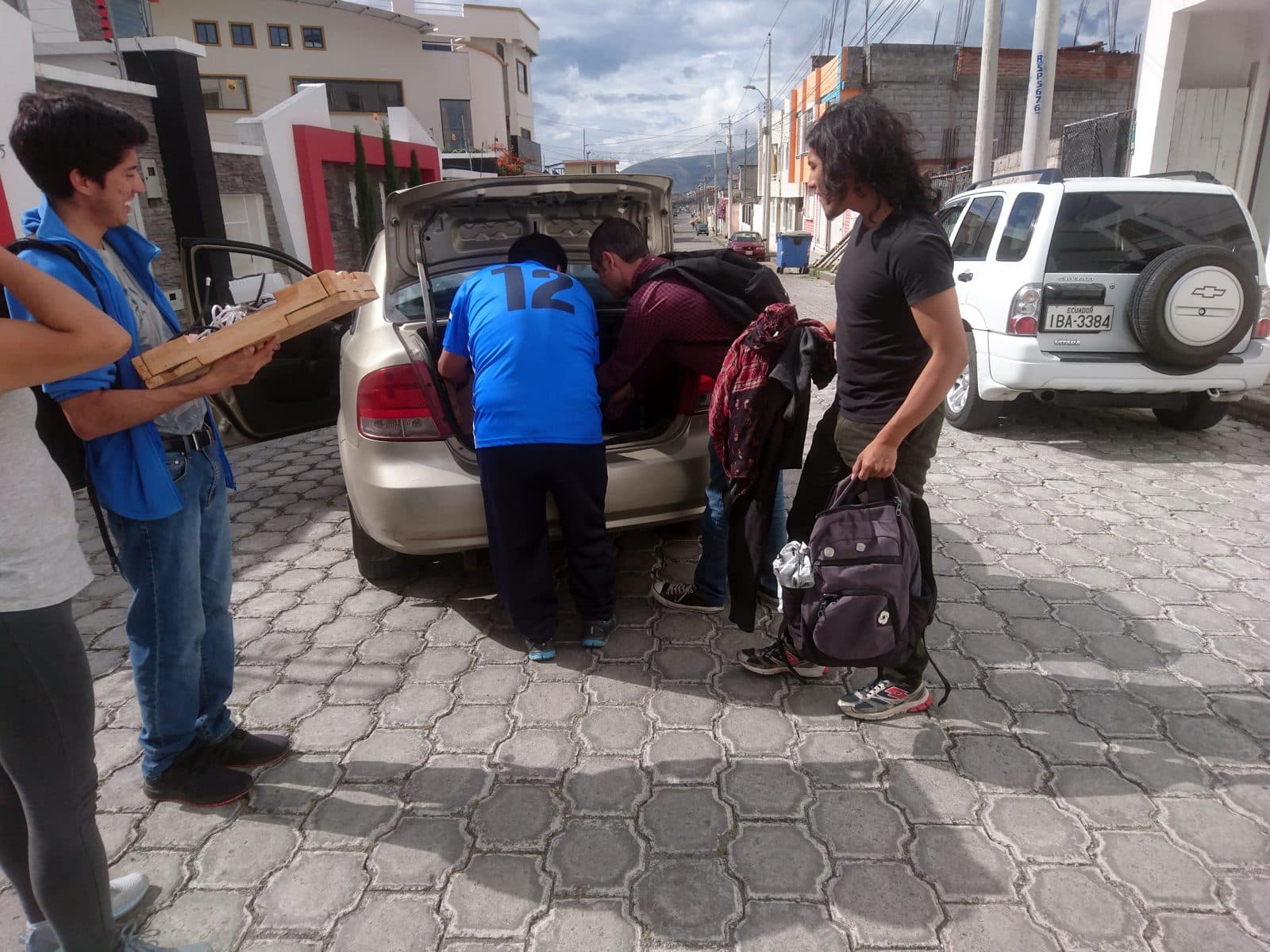
Most Andean cities accumulate. They start as one thing, get conquered into another, get rebuilt, and what survives is a stratigraphy of overlapping eras visible in any random block. Cusco shows Inca foundations under colonial walls. Quito layers eighteenth-century Jesuit churches on top of indigenous quarries.
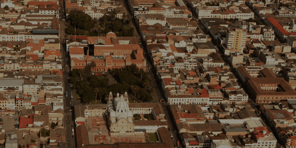
Ibarra is different, because it had to be built twice. An earthquake in the small hours of 16 August 1868 threw down almost everything that stood here, and the town you walk through is the one the survivors rebuilt after they came back in 1872. Its churches took most of a century to return, and the white walls that give Ibarra its nickname have no agreed origin, which is part of what makes the place worth reading closely.
If you understand how Ibarra came back, you understand the city. Our White City walk follows that comeback through the rebuilt centre, with the town's ice cream and sweets along the way. This article frames it.
Three cities in one valley
The Imbabura valley, at 2,200 metres in the northern Ecuadorian highlands, has held a human capital for at least a thousand years. Before the Spanish, before the Inca, the Caranqui ran a confederation of chiefdoms from the village now called Caranqui on the southern edge of modern Ibarra. They were a sophisticated polity. They built tolas, the flat-topped earthen pyramids that still mark the surrounding fields, as ceremonial platforms and elite residences. They traded across what is now northern Ecuador and southern Colombia.
When the Inca empire pushed north in the late fifteenth century, the Caranqui resisted. The campaign lasted around seventeen years, longer than almost any other Inca war. It ended around 1495 at the Battle of Yahuarcocha, the lake on the northern edge of the valley whose name means Lake of Blood in Kichwa. The Inca emperor Huayna Capac defeated the Caranqui there and, according to oral tradition recorded by colonial chroniclers, ordered the slaughter of thousands of warriors. Yahuarcocha is now a calm lake, ringed by tilapia restaurants and a road that hosts weekend auto racing. The contrast tells you something about this region's relationship with its own past.
The Spanish founded San Miguel de Ibarra on September 28th, 1606, under orders from the colonial president Miguel de Ibarra. They built the standard colonial grid plan on top of the existing settlement: a central plaza, four streets running off it at right angles, churches at the corners, government offices on one face, the leading merchants' houses on the other three. By the mid-1800s, Ibarra had grown into one of the larger highland towns north of Quito.
In the small hours of August 16th, 1868, an earthquake on the Otavalo fault, estimated at about magnitude 7.0 to 7.3, destroyed almost all of it. Gabriel García Moreno, sent by the government to run the relief, reported fifteen to twenty thousand dead in the province. The survivors lived for about four years on the plain of Santa María de la Esperanza. The town they came back to was laid out on a new grid that, in the city's own account, García Moreno had drawn from one corner, the Esquina del Coco, with streets thirteen metres wide.
The official date of return, April 28th, 1872, is still observed annually as El Retorno. The city marked 154 years of it on 28 April 2026.
Why white
Hear a stop from this walk
Santo Domingo: The Gothic Comeback
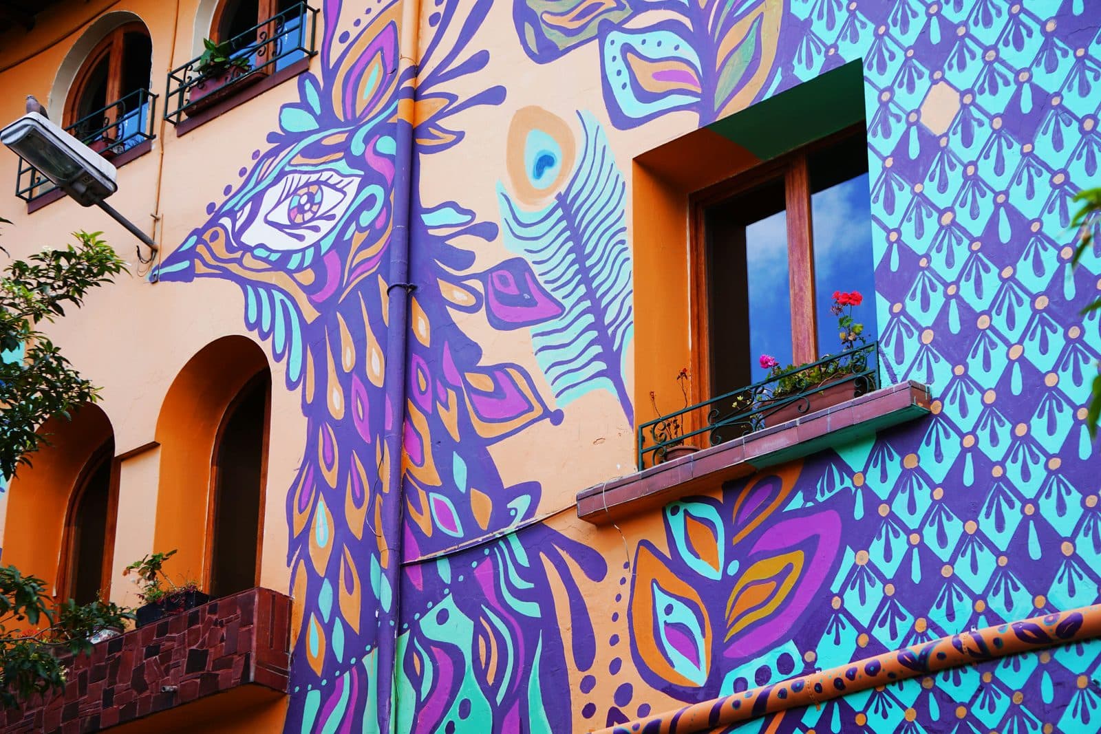
Nobody agrees, and that is the honest answer. No source supports the story that the city repaints every wall each February, that a vow or ordinance of 1872 required white, or that Pedro Moncayo, the liberal politician born in Ibarra in 1807 who died in exile in Valparaíso in 1888, had anything to do with the colour.
In 2025 the newspaper La Hora set out four versions side by side: houses limed against rats during a plague, as oral tradition has it; a twentieth-century council decision to emulate Arequipa and Popayán, which it could not confirm; a social reading of the name as a city for whites, from a former director of the provincial House of Culture; and the local cultural manager Jorge Luis Narváez's account that García Moreno laid out the rebuilt town as a city for whites. A 2014 column credited a novel begun around 1910, Gonzalo Zaldumbide's Égloga trágica, with an early written use of Ciudad Blanca, and urged the centre to go back to white, so it was not uniformly white then. Today a 2022 heritage ordinance asks owners to repaint their fronts at least every two years, without naming a colour in its published summary.
The churches complicate the picture further. Their main fronts are grey dressed stone, and the white is render on towers and side walls. They also came back slowly: the cathedral was consecrated in 1878, Santo Domingo in 1923, San Agustín was rebuilt in 1935, and La Merced ran from 1933 to about 1965.
What you walk through today in central Ibarra is the third town in the valley. The first was Caranqui, conquered by the Inca. The second was colonial Ibarra, thrown down by the earthquake. The third is the town rebuilt after 1872, and it is still being repaired: the old school on the main square, abandoned in 1969, has been restored by the city since 2021.
What to walk
The White City walk traces the town's comeback in ten stops and about 1.8 kilometres: the cathedral on the plaza named for Moncayo, the restored old school and its clock tower, San Agustín, the Esquina del Coco where tradition says a surviving palm marked the start of the new grid, a small square named for an executed patriot, the paila ice-cream counters on Oviedo, La Merced, the El Cuartel fortress, the straight run of Calle Olmedo, and Santo Domingo beside the plaza of Bolívar's Battle of Ibarra.
It takes about an hour and a quarter. If you have a full day, walk it in the morning, sit down for an almuerzo at the Mercado Amazonas at noon, and spend the afternoon at Laguna de Yahuarcocha.
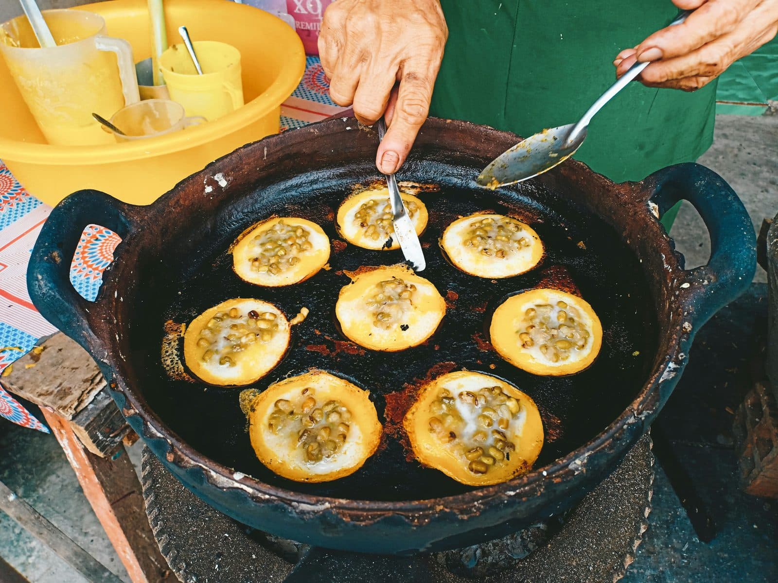
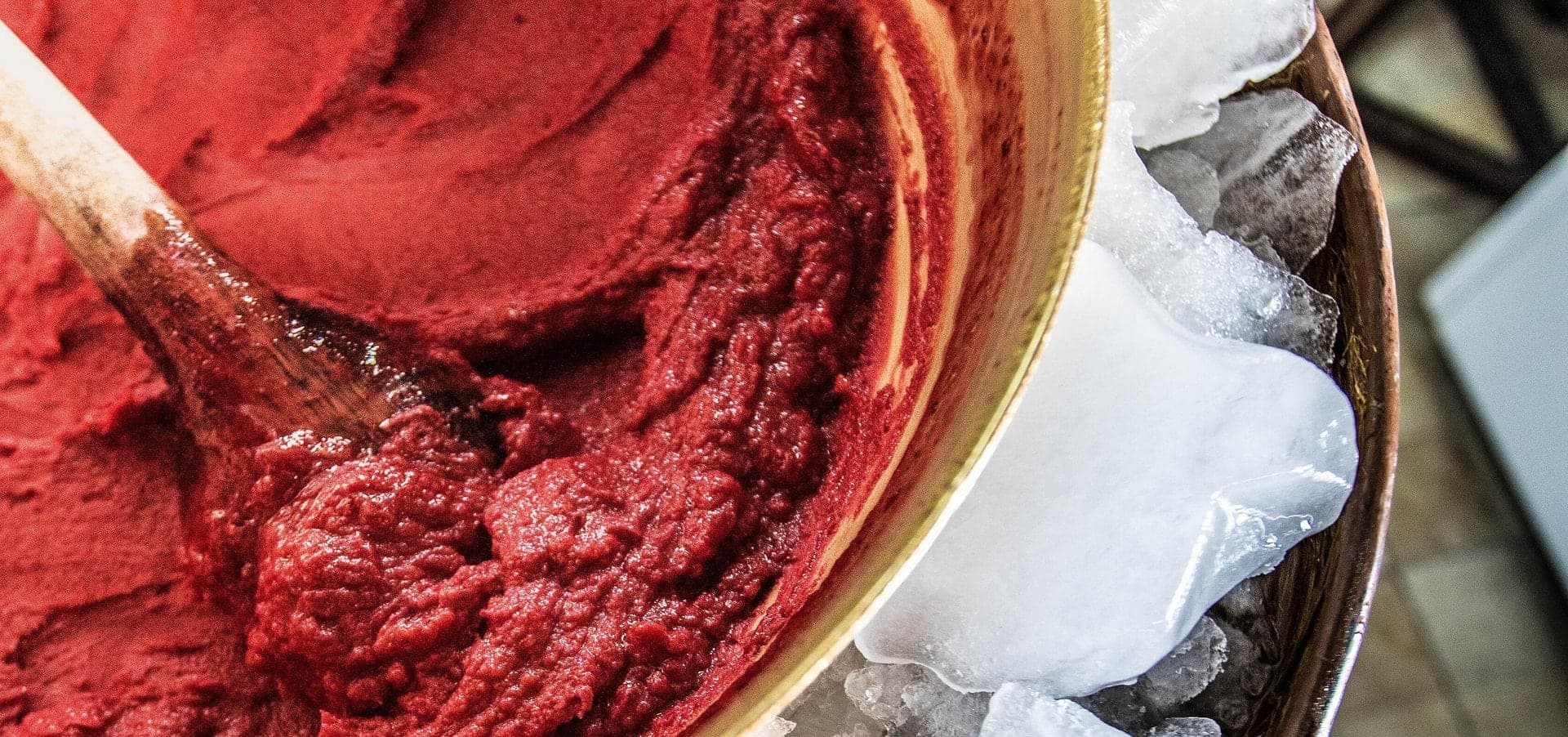
The food traditions run through the same streets. Helado de paila, fruit and sugar beaten in a bronze or copper pan spun on ice and salt, is credited to Rosalía Suárez, whose family dates the start to 1896; before ice factories, the family says, the ice came down from the Imbabura volcano. Nogadas, walnut sweets once called the sweet of the big houses, and arrope de mora, a blackberry syrup that came to Ibarra from Otavalo, are sold on Calle Olmedo and around the parks, and Calle Olmedo has long been known for empanadas de morocho too.
Where Ibarra sits in Ecuador
Ibarra is the quiet counterpoint to Quito. Quito is the colonial capital, the UNESCO site, the postcard of Ecuadorian highland identity. Ibarra is what the rest of the northern Andes actually looks like when nobody is putting on a show. The city has about 200,000 people. The pace is slow. The plazas are used by families for evening walks rather than by tourists for photo lines. The mountain climate is gentler than Quito's, around 18 degrees Celsius year-round, which earned Ibarra its second nickname, City of Eternal Spring.
For travelers heading north to the Colombian border or south back to Quito, Ibarra is the natural overnight. For travelers based in Quito who want a day that is not Otavalo market and Cotacachi leather, Ibarra is the answer. Two hours by bus or car from the capital. A town that was built twice, and is still being repaired.
Look at any white wall in the historic centre and ask why it is white. Nobody in Ibarra will give you the same answer, and the walk does not pretend to settle it. What it can show you is the town that came back, stone front by stone front, over most of a century. That is what makes the walk worth taking.
Frequently asked questions
- How many self-guided walking tours are there in Ibarra?
- Roamer currently has 1 self-guided audio walking tour in Ibarra. Every tour is free to start: the introduction and first stop play in full, and every later stop plays a short preview before you decide to buy.
- How much does a self-guided walking tour in Ibarra cost?
- Each tour is free to preview and $4.99 for lifetime access. If you want more than one, a 7-day pass is $12.99 and a 30-day pass covering every tour is $19.99, which works out to well under a dollar a day.
- Can I do the Ibarra tours offline?
- Yes. Tours can be downloaded in advance in the Roamer app and played with no signal, which is useful when you are travelling without mobile data.
- How long are the Ibarra walking tours?
- The White City walk runs about 75 minutes and covers about 1.8 km on foot, with 10 stops. You set the pace and can pause any time.
Ready to experience it?
White City: The Town That Came Back
75 min · 1.8 km · easy
More from Ibarra
Explore more at your own pace.
Ibarra Travel Guide: How Many Days, Getting There, When to Go (2026)
One Day in Ibarra: A Walkable White-City Itinerary (2026)
What to Eat in Ibarra: A Food Guide (2026)
Paila, Nogadas and Arrope: The Sweet Side of Ibarra's White City Walk
Rosalía Suárez and the Copper Bowl: How Paila Helado Became a Business