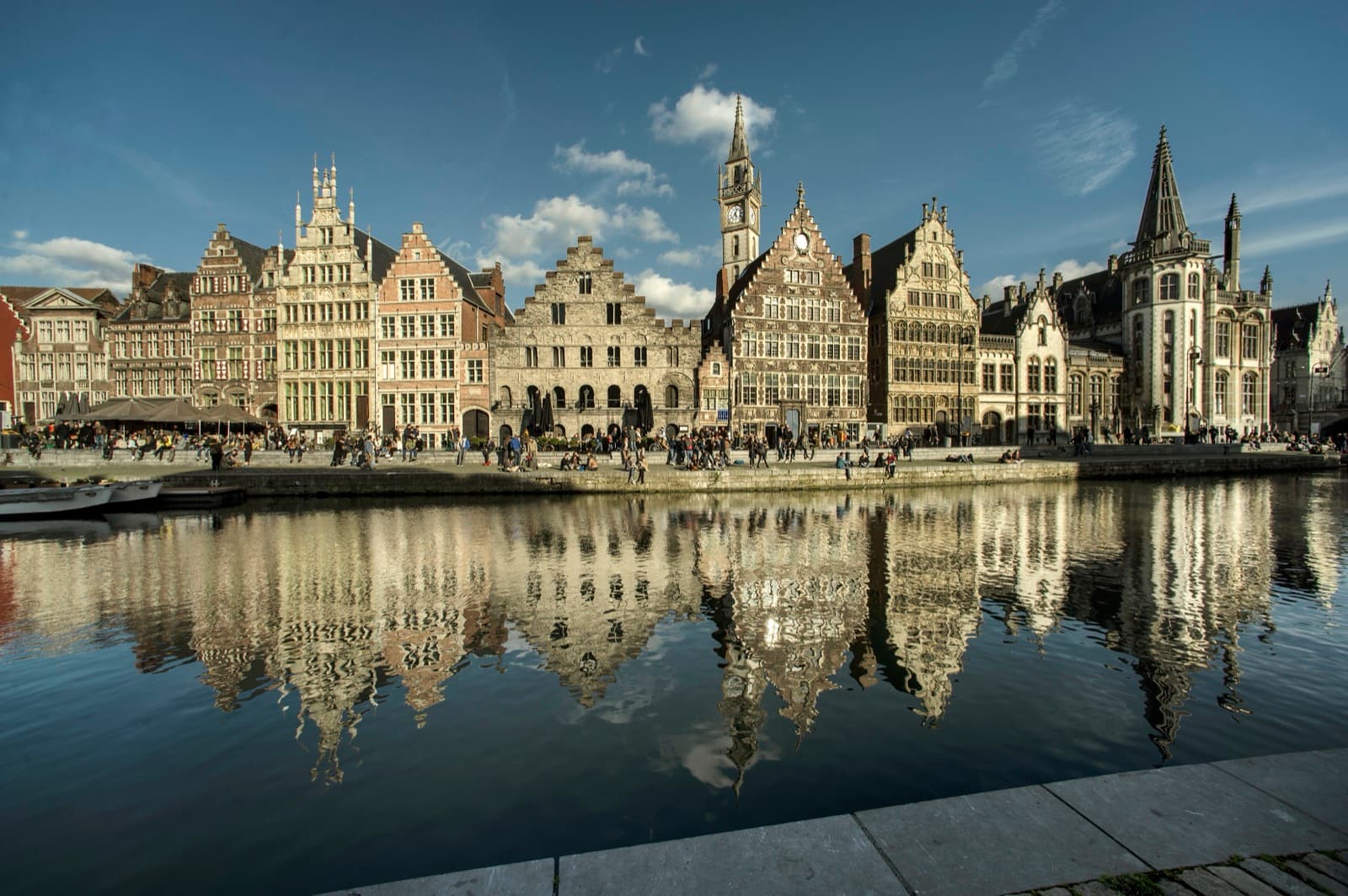
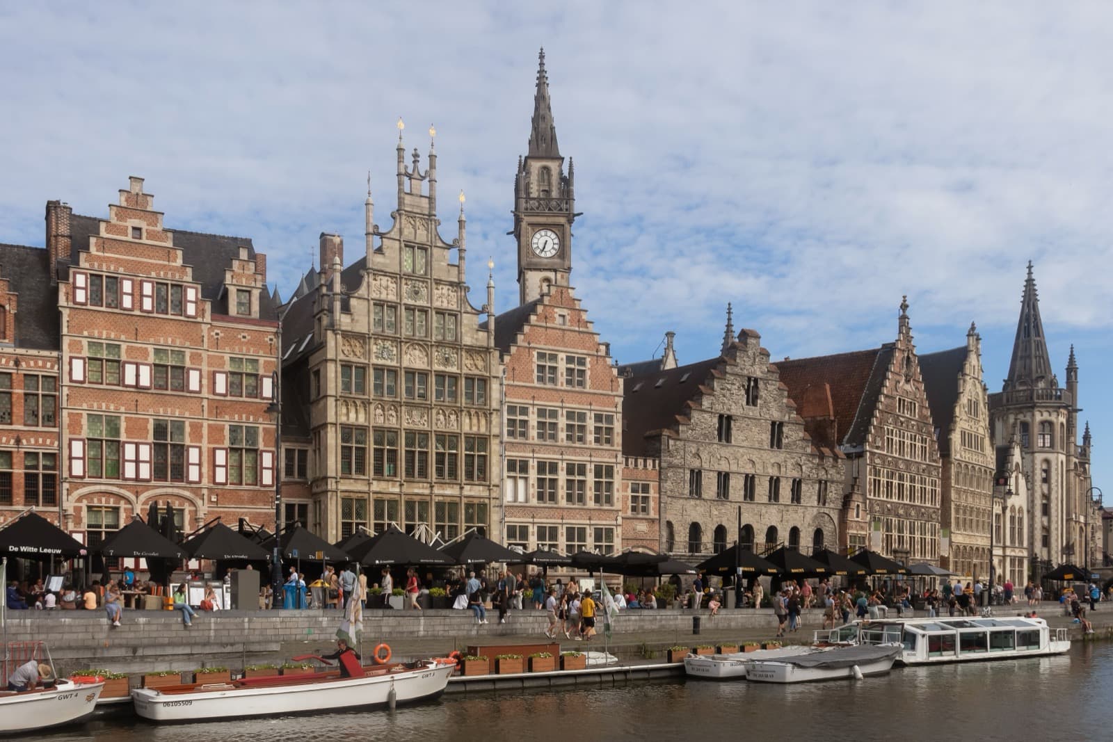
The Graslei and Korenlei were Ghent's medieval inner harbour, and the grain trade that unloaded on these two quays raised the wealth that built the churches and the belfry standing above them. Stand mid-way along the water, on the right bank called the Graslei with the Korenlei facing you across the River Leie, and you are looking at the working base of the whole city. Ships have docked here since the eleventh century. For centuries this stretch, known as the Tussen Bruggen, or "between the bridges," was the commercial heart of medieval Ghent and the centre of the wheat and grain trade for the entire County of Flanders. The towers on the skyline get the photographs. This is where the money came from.
The one thing to understand standing here
Ghent grew where two rivers meet, the Leie and the Scheldt, and by around thirteen hundred it held perhaps fifty to sixty thousand people, one of the largest and richest cities in northern Europe. That wealth was built on wool spun and woven into cloth and sold across a continent, and on grain moving through the port. The Graslei and Korenlei are the physical record of that trade. The Dutch word "lei" means quay. The two names point straight at the cargo: the Korenlei took its name from wheat, "koren," and the Graslei from the herbs and vegetables handled along its bank.
The single fact that organises everything else here is the staple right. Ghent held the privilege to force goods passing through to be stored, weighed, and traded in the city before moving on. Grain travelling the Flemish river network could not simply pass by. It had to stop, be unloaded onto these quays, be measured by an official, and be offered for sale. A privilege like that turns a river bend into a mandatory marketplace, and a mandatory marketplace into a fortune. The buildings lining the Graslei are not decoration. They are the machinery of that system, each one a station in the movement of grain from ship to store to sale.
Reading the row, building by building
Hear a stop from this walk
Graslei and Korenlei: The Golden-Age Harbour of the Cloth City
The city museums call this the finest row of its kind in the country, and its interest is that it spans architectural centuries in a single unbroken line, from Romanesque round arches through to Baroque. You can read the whole medieval-to-early-modern history of Ghent by walking a hundred metres and looking up.
Start with the oldest. The Spijker, the Corn Store, dates from about twelve hundred and is one of the oldest buildings in the entire city. It is plainly Romanesque, its round arches unmistakable against the pointed Gothic and busy Baroque of its neighbours. This was the staple house, where Ghent stored the grain it held under the staple right for centuries. It is the anchor of the row, the reason the harbour existed in the form it did.
Then the measuring. Two Grain Measurers' Houses stand along the quay, the Korenmetershuis. The first dates from fourteen thirty-five, the second, in a late-Baroque style, from sixteen ninety-eight. The gap of more than two and a half centuries between them tells you the trade did not pause. It kept running, generation after generation, long enough to need rebuilding in a new fashion. The official corn measurer worked from these houses, and his weighing was the legal act that let grain change hands. No measure, no sale.
Then the moving. The Free Boatmen's guild house of fifteen thirty-one, built in Brabant Gothic, belonged to the men who carried cargo along the water. Grain ships unloaded at the quay, measurers weighed what came off, and the boatmen moved it onward. The three functions, storing, measuring, hauling, each got its own building, and the row survives as a diagram of the medieval supply chain drawn in brick and stone.
Why the harbour explains the skyline
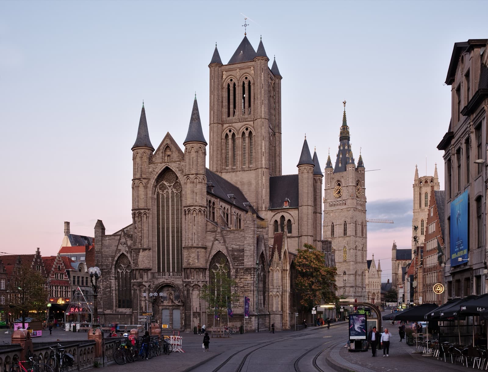
Walk the historic centre and you notice three great towers standing in a row: Saint Nicholas's Church, the Belfry, and Saint Bavo's Cathedral. Each belongs to a different kind of power. Saint Nicholas, on the old corn market, was the church of the merchants and the guilds. The Belfry, tallest of the three at ninety-one metres and begun in thirteen thirteen, held the city's charters and rang the bells that ordered civic life, town power made vertical. Saint Bavo's, the cathedral, belongs to the Church and guards the Ghent Altarpiece, finished by Jan van Eyck in fourteen thirty-two.
The Graslei is where all of that was paid for. Trade, town, and Church stood shoulder to shoulder on the ridge above, and the river underwrote every stone. The grain that was forced to stop here, the cloth measured in the hall at the Belfry's foot, the tolls and profits skimmed off the movement of goods: that is the base of the sentence the skyline spells out. The three towers are the display. The quays are the account book.
There is a plainness to the Spijker that makes the point better than any monument could. A merchant city does not begin with cathedrals. It begins with a grain store by the water and the legal right to make traffic stop there. Everything ornamental came later, and came because the harbour worked.
Walk it yourself
The Graslei and Korenlei are public quays, free and open, and they reward being taken slowly. Save them for the end of a walk and aim for golden light, early morning or the hour before dusk, when the guild houses glow along the water and the crowds thin. There is no boat queue and no group to keep pace with. Watch your footing near the edge, as the quays often have no railing at the water.
This harbour is the final stop on the self-guided Ghent three-towers walk, which reads the three medieval towers as a single line in the sky before dropping to the water that raised them. For the full route and other tours through the old core, browse our Ghent walking tours, then set your own pace along the Ghent quays.
Sources
- Graslei, Wikipedia. Confirms the quays' location on the Leie and that Ghent was the centre of the wheat trade in the County of Flanders.
- "History on the Graslei and Korenlei," Visit Gent (official tourism board). Confirms that ships have docked here since the eleventh century and that the corn store's stepped gable dates to the thirteenth century.
- Roamer tour transcript, "Historic Center: The Harbour City of Three Towers" (fact-audited, audit score 97). Verified dates for the Spijker (about twelve hundred), the two Grain Measurers' Houses (fourteen thirty-five and sixteen ninety-eight), and the Free Boatmen's house (fifteen thirty-one).
- Belfry of Ghent, Wikipedia. Confirms the tower's height of ninety-one metres and its thirteen thirteen founding date, referenced for skyline context.
Ready to experience it?
Historic Center: The Harbour City of Three Towers
60 min · 1.4 km · easy
More from Ghent
Explore more at your own pace.
Ghent Travel Guide: How Many Days, Getting Around, and When to Go
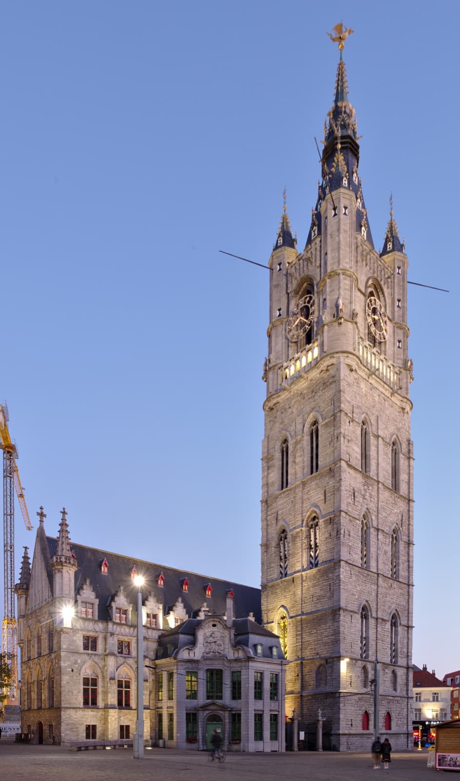
One Day in Ghent: A Walkable Morning-to-Evening Itinerary
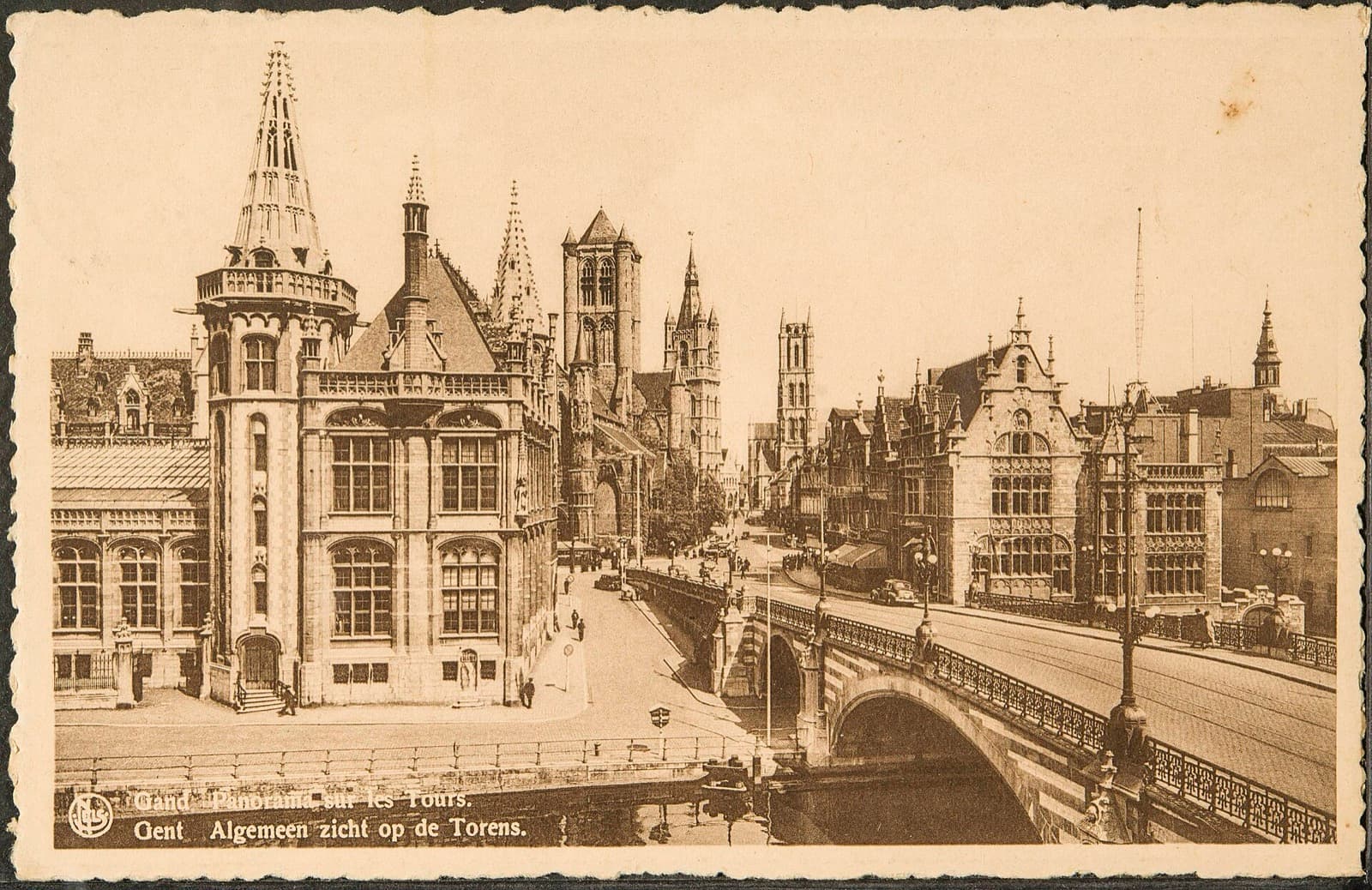
Ghent: The Medieval Giant of Three Towers and Endless Revolts
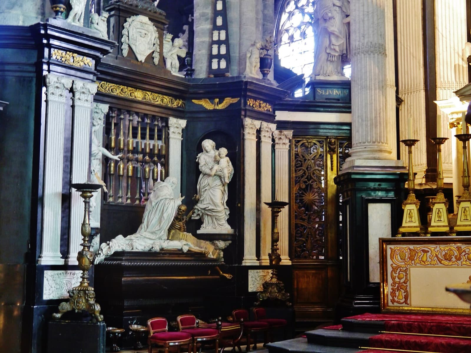
Sint-Baafskathedraal and the Mystic Lamb: The Last Word in Ghent's Skyline
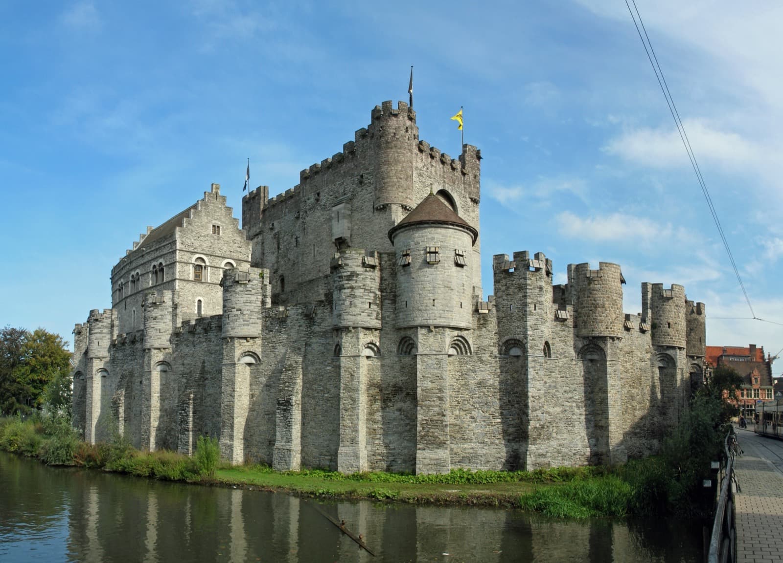
The Gravensteen: Why the Counts of Flanders Planted a Castle Inside a Rebel City