Most of Bangkok's old city has been folded into the modern one, but on its eastern side the edge is still there. A canal runs north from Bamrung Mueang Road, and on its far bank a whitewashed wall, notched with battlements, follows the water to an eight-sided white fort. Just outside that line rises the Golden Mount, a hill with a gold chedi on top. It is not a natural hill. It began as a royal tower that sank, and the next king had what was left rebuilt into a mount. Walk this edge and you can read how the young capital drew its boundary, and what it chose to set along it.
A city drawn inside water
The canal is Khlong Rop Krung. Khlong means canal, and Rop Krung means round the city. R. Lingat's "History of Wat Saket," published in the Journal of the Siam Society in 1930, gives the reason it was cut. After the founding, a canal was dug along the east side of the town, passing behind the old temple and joining the existing Bang Lamphu canal to the north, because the new capital was laid out on the lines of Ayutthaya and was meant to be entirely surrounded by water. Lingat gives no year, and this piece does not either.
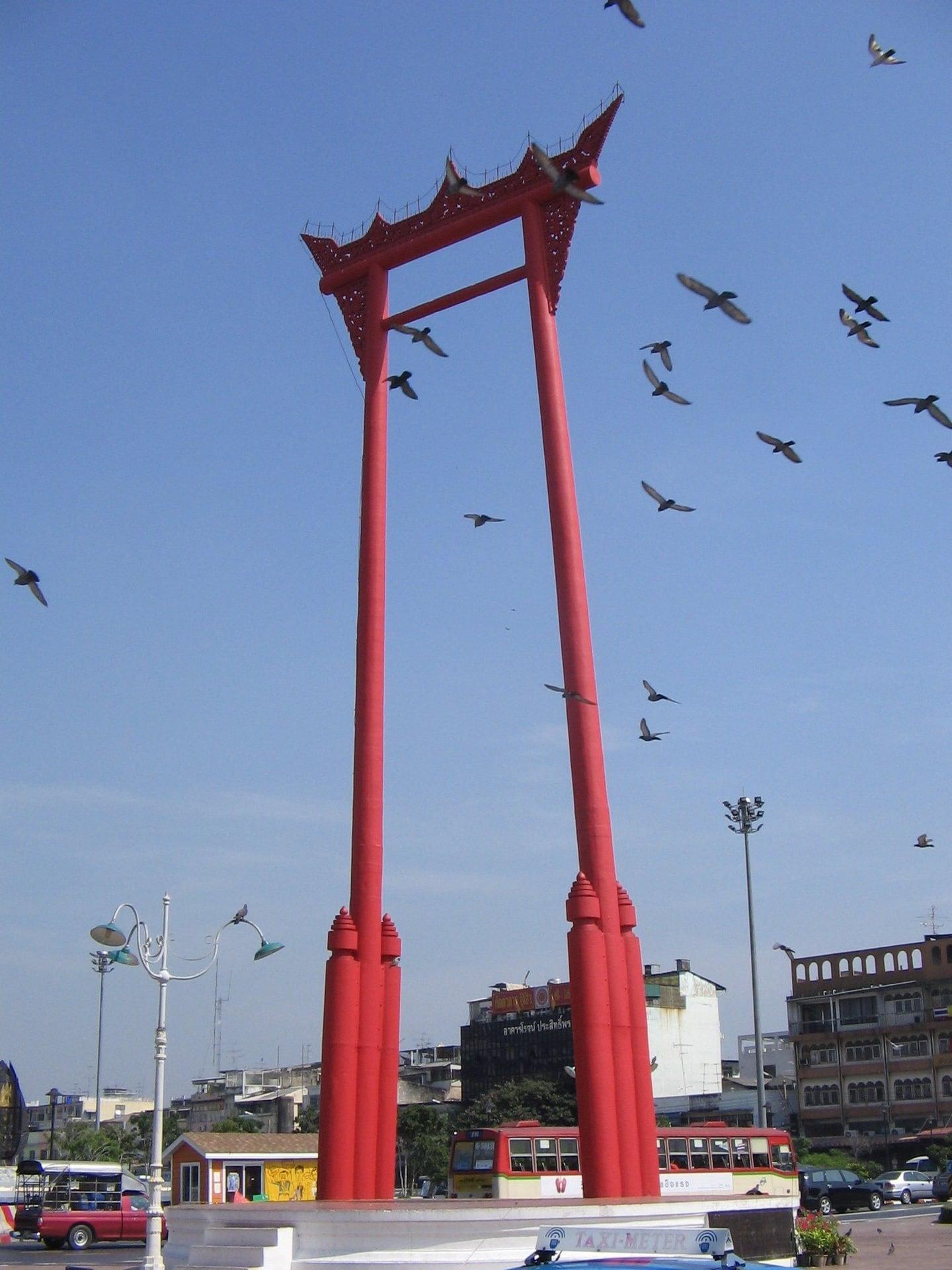
Everything at the start of the walk stands inside that ring. There is the Devasathan, the royal Brahmin shrine that the Thailand Foundation says King Rama I (Phra Phutthayotfa Chulalok) had built in 1784. There is the Giant Swing in front of Wat Suthat, made for the shrine's new year rite. And there is Bamrung Mueang Road, where, in the Tourism Authority of Thailand's words, the shops near Wat Suthat "stock a very comprehensive range of Buddhist religious supplies." The Buddha images in those windows are sacred objects, not souvenirs. Then the road crosses the moat, and you are on the edge.
The wall and its two surviving forts
Hear a stop from this walk
Democracy Monument: The Change of 1932
Follow the canal north and the wall appears on the far bank: whitewashed, crenellated, running beside the water. OpenStreetMap maps it as a city wall inside Mahakan Fort Park. A record in the Princess Maha Chakri Sirindhorn Anthropology Centre's Arts in Southeast Asia database says fourteen forts were built to defend the capital in its first years, Phra Sumen among them in 1783 under Rama I, and that only two remain: Phra Sumen, at the old city's northern corner by the river, and Mahakan, here.
Mahakan Fort stands where the canal meets Ratchadamnoen Avenue. Look at its shape: eight-sided, whitewashed, with the same notched battlements as the wall. Its own building date appears only in secondary sources, so it is left out here.
The lawns behind the wall carry a more recent story, told plainly. Until 2018 a community lived in old wooden houses between the wall and the canal. The Bangkok Metropolitan Administration set a deadline of 30 April 2018, the last residents left that month, and the ground became a public park, as the Bangkok Post, Khaosod English and The Nation all reported. The edge survives as wall, water and open grass.
A temple older than the city
Just outside the moat stands Wat Saket, and it is older than Bangkok. Lingat says it was first called Wat Sak, after a kind of ash tree, and was a temple of modest importance until the capital moved here in 1782. Rama I then restored it under royal patronage and gave it its present name, remembering a purification ceremony held there before he took the throne. Lingat dates its consecration to November 1801.
The tower that became a hill
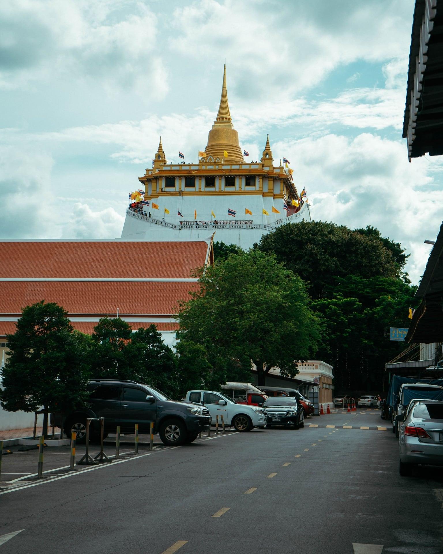
The Golden Mount is the walk's best story, and Lingat tells it. King Rama III (Phra Nang Klao) began a great prang, a tall temple tower, at Wat Saket, modeled on the Golden Mount at Ayutthaya. The great mass sank and cracked, and the work was abandoned. The next king, King Mongkut (Rama IV), did not clear it away. He had the material rebuilt into an artificial mount with a stupa on top. The name Phu Khao Thong, the Golden Mount, had already been given in the reign before, after the Ayutthaya monument; now the building fit it. Lingat says it was finished early in the reign of King Chulalongkorn (Rama V), and that on 23 May 1899 relics from the Piprahwa stupa, offered by the British government to the King of Siam, were placed in the chedi at the top.
So the view people climb for sits on a failure that a later king turned into a monument. How high is it? Published figures disagree, and step counts in travel listings disagree too, so the walk speaks neither. The climb is optional. From the top, the old city's temple roofs lie to the west and the towers of the new city to the east, and the way down comes out on the shaded lane the walk takes next.
The canals as streets
Where the moat meets a smaller canal, the walk reaches Phan Fa Lilat pier. The smaller canal is Khlong Mahanak, and Lingat says it was cut in the city's founding years, passing near Wat Saket, by about ten thousand conscripted Cambodians. It is still working water. The Nation reports that the Khlong Saen Saep boat line runs to Phan Fa Lilat, and commuters still ride it east into the modern city.
Back through the wall, into a new century
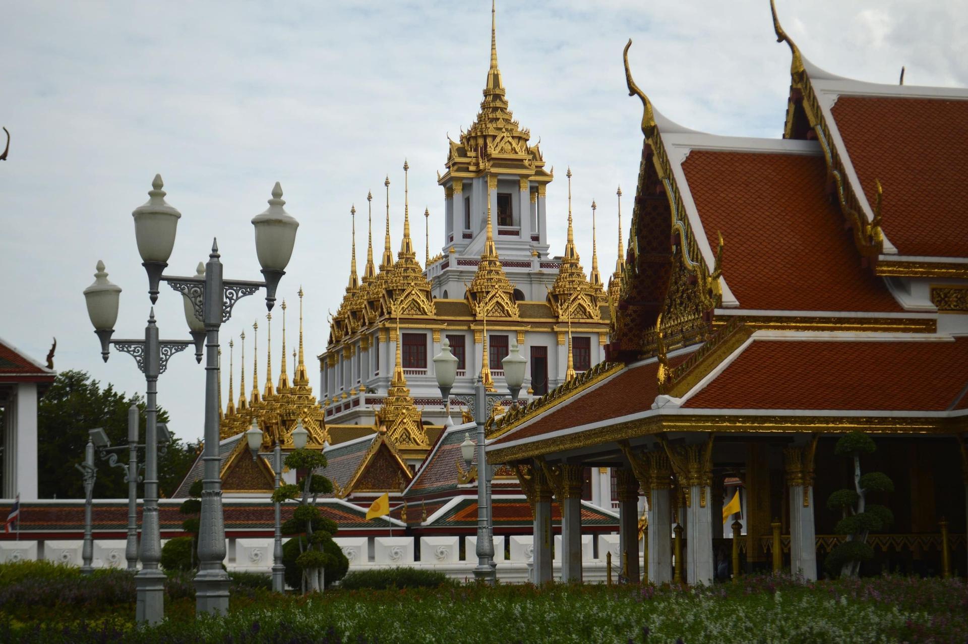
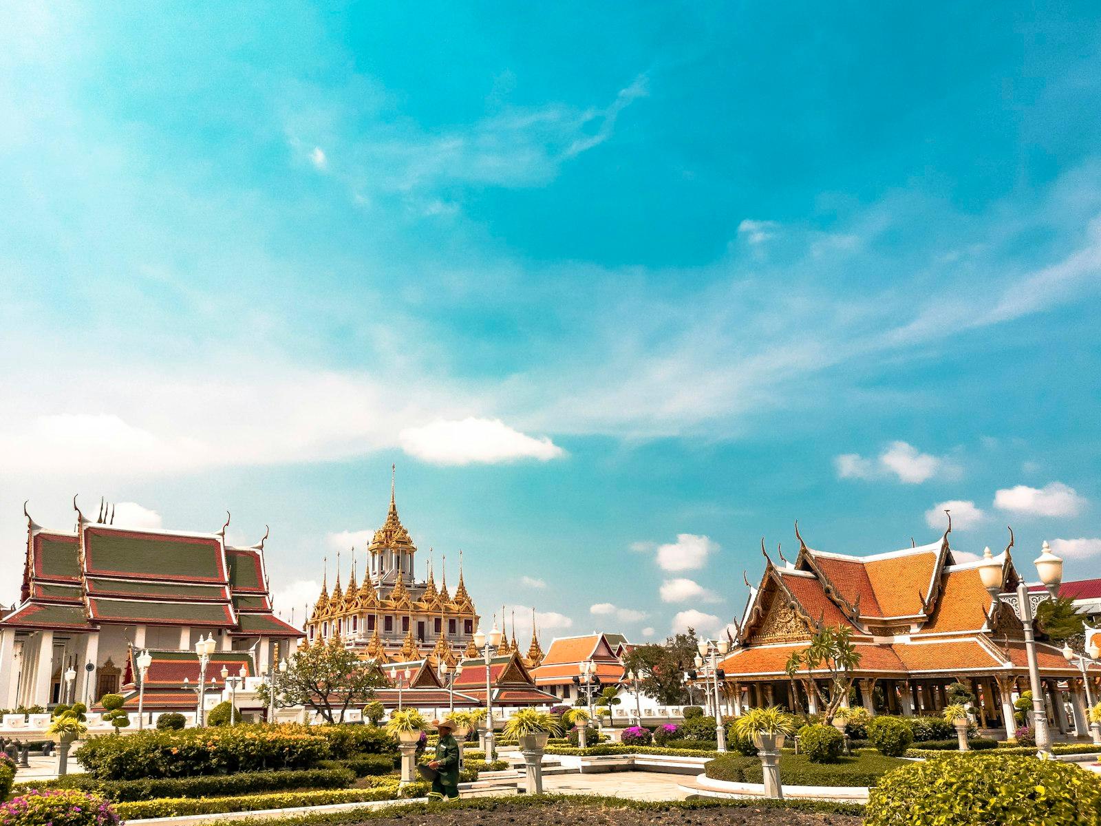
From Mahakan Fort the walk turns west, back inside the old line, onto Ratchadamnoen Avenue. First comes Loha Prasat, a building made of points: tier on tier of small towers capped with dark metal spires. The Tourism Authority of Thailand dates its temple, Wat Ratchanatdaram, to 1846, late in Rama III's reign, and says the metal tower was not completed until the reign of Rama V. It counts seven tiers and thirty-seven spires, one for each of thirty-seven Buddhist qualities of awakening. The Golden Mount and Loha Prasat were both begun under the same king, a few minutes' walk apart: one great mass that failed and became a hill, one cluster of small parts that stand together.
The avenue itself tells two stories. The Bangkok Post says the king of the day commissioned it after his first visit to Europe, and that from 1937 the government filled its middle stretch, Ratchadamnoen Klang, with shops, hotels and a department store. Those are the long, low buildings with rounded corners and corner towers that line it today. At its end stands the Democracy Monument. It marks 24 June 1932, when a group of officers and officials called the People's Party ended the absolute monarchy and Siam became a constitutional monarchy. Its foundation stone was laid on the same date in 1939, and it was finished in 1940. The Tourism Authority of Thailand says its four wings are 24 meters high, for the twenty-fourth of June.
Walk it
Roamer's Golden Mount and Giant Swing walk starts outside the Devasathan shrine by the Giant Swing; from MRT Sam Yot it is about 10 minutes on foot to the north. It covers 12 stops in about 1.8 kilometers and about 80 minutes, flat all the way, and ends at the Democracy Monument. The climb up the Golden Mount is optional and ticketed: the Tourism Authority of Thailand lists 100 baht, paid at the foot of the stair, but listings vary, so check on the day. Walk it at your own pace, with no group to keep up with, and start whenever you like.
Sources
- R. Lingat, "History of Wat Saket," Journal of the Siam Society 23:3 (April 1930): the moat, Khlong Mahanak, Wat Sak, the 1801 consecration, the Golden Mount's history and the 1899 relics.
- Thailand Foundation, "Triyampavai-Tripavai: The Swing Ceremony," 30 January 2024: the Devasathan.
- Tourism Authority of Thailand attraction pages (Wat Suthat, Wat Saket and the Golden Mount, Wat Ratchanatdaram, Democracy Monument), read from archived captures.
- Princess Maha Chakri Sirindhorn Anthropology Centre, Arts in Southeast Asia database, Phra Sumen Fort: the fourteen forts and the two that remain.
- Bangkok Post, Khaosod English and The Nation, April 2018: Mahakan Fort community. Bangkok Post on Ratchadamnoen Avenue. The Nation on the Saen Saep boat line.
- OpenStreetMap: the canal, the city wall and Mahakan Fort Park.
Ready to experience it?
Golden Mount and Giant Swing: A Tower That Became a Hill
80 min · 1.8 km · easy
More from Bangkok
Explore more at your own pace.
Best Culture Walking Tours in Bangkok (2026)
Best History Walking Tours in Bangkok (2026)
Lumphini Park: The Fair That Never Opened and the Park Bangkok Got Instead
Thonburi and Kudi Chin: The Capital Before Bangkok and the Neighbors Who Stayed
Giant Swing (Sao Ching Cha) and the Devasathan: A Brahmin New Year in a Buddhist Capital