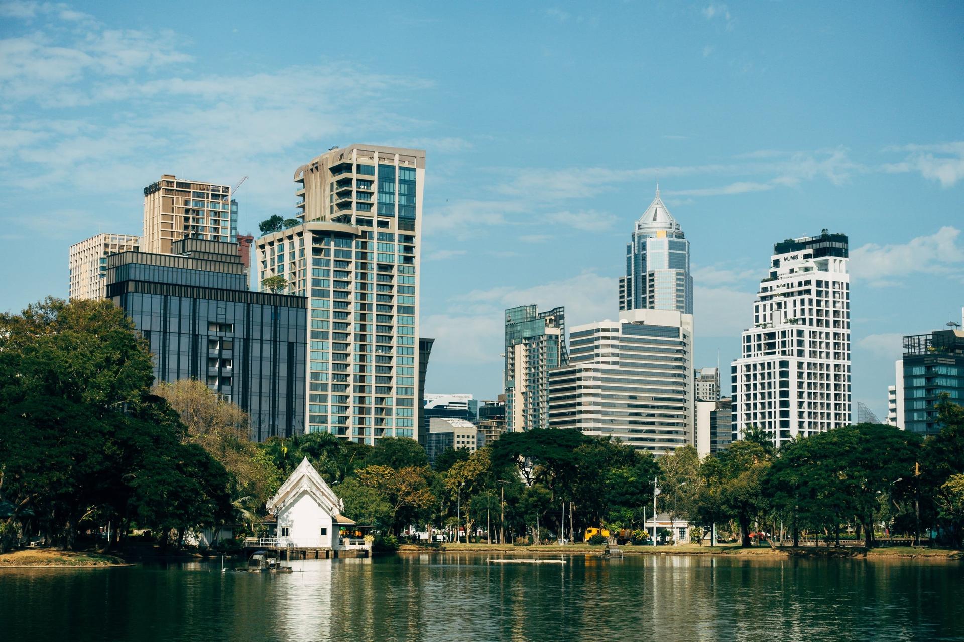
From the founder's statue on the Si Lom corner round Bangkok's first public park: the running ring, the open-air gym, the 1925 lake island, the water monitors, the boat pier, the 1950s library and hall, to the Chinese clock tower by MRT Lumphini.
Start · King Rama VI Monument
DirectionsStops
- 1
King Rama VI Monument
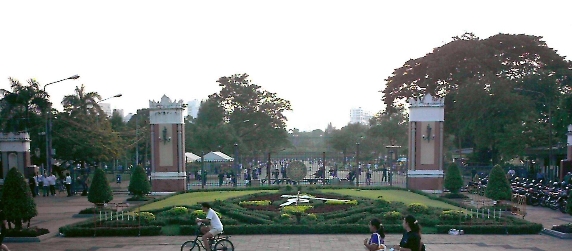
A statue of the park's founder. King Vajiravudh, Rama VI, set up in 1942 on the corner plaza outside the park's gate, where the story of the fair that never opened begins.
- 2
Running Ring
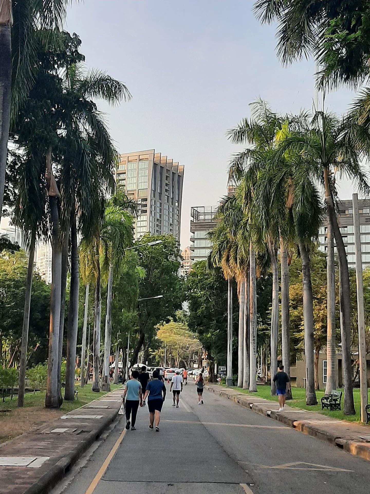
Where the city comes to run. The junction of the park's central avenue with the lit ring path and its separate one-way cycle lane.
- 3
Open-Air Gym
Weights lifted under the trees. The park's fenced open-air gym, sometimes called Bangkok's Muscle Beach, seen from the ring path.
- 4
Lake Island
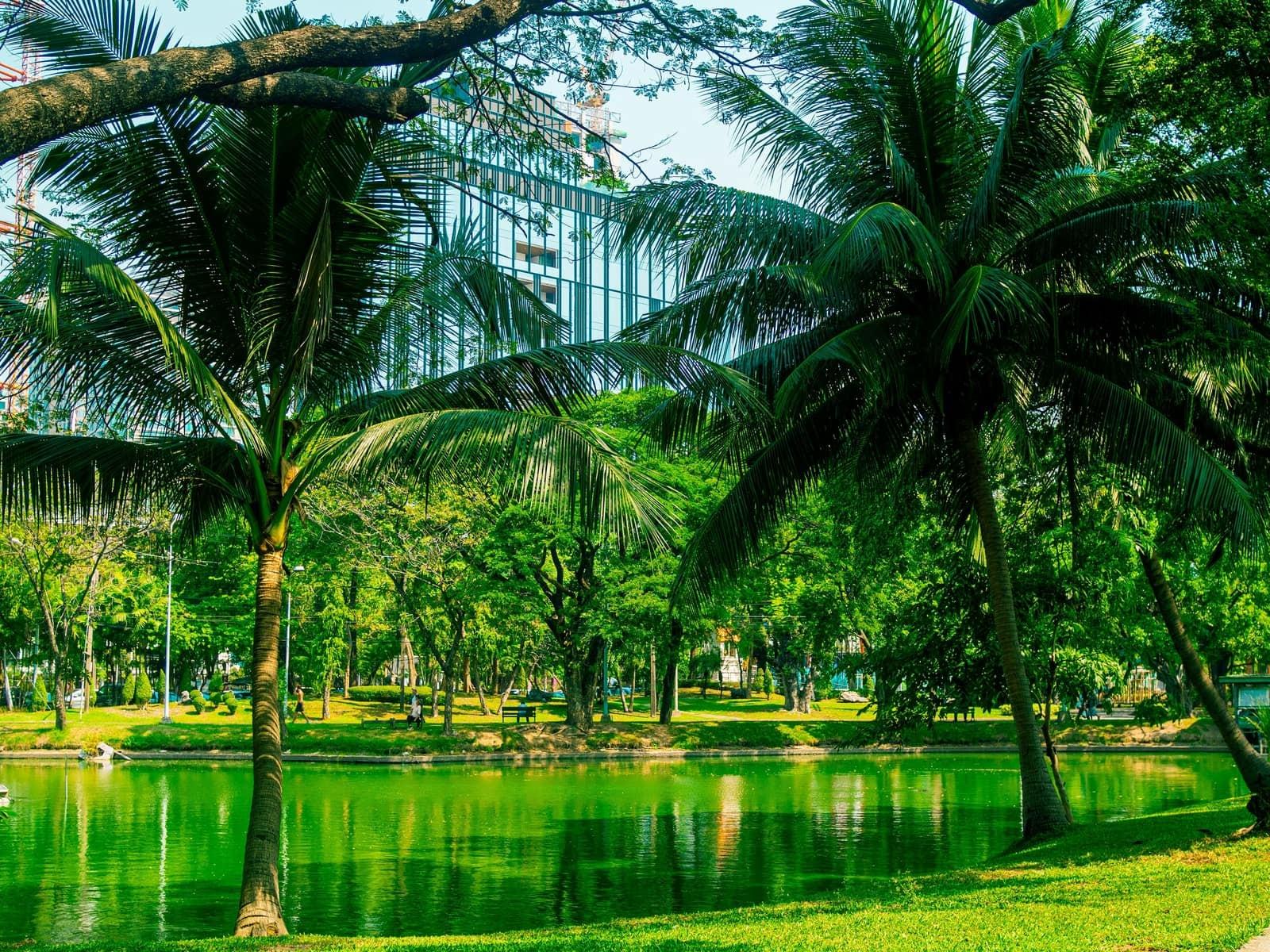
An island made for the 1925 fair. The island in the park's lake, Sa Kwang, the wide pond, dug when the fair ground was laid out; its paths run under trees with water on both sides.
- 5
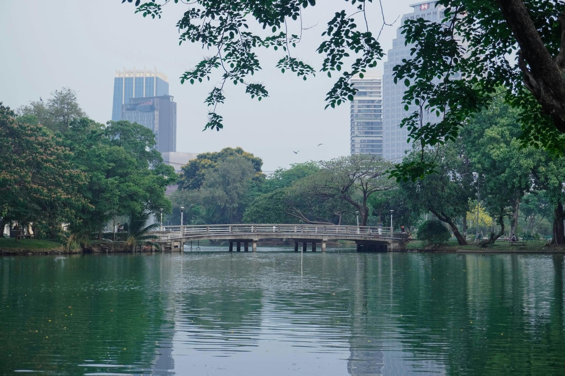
Island Bridge Lookout
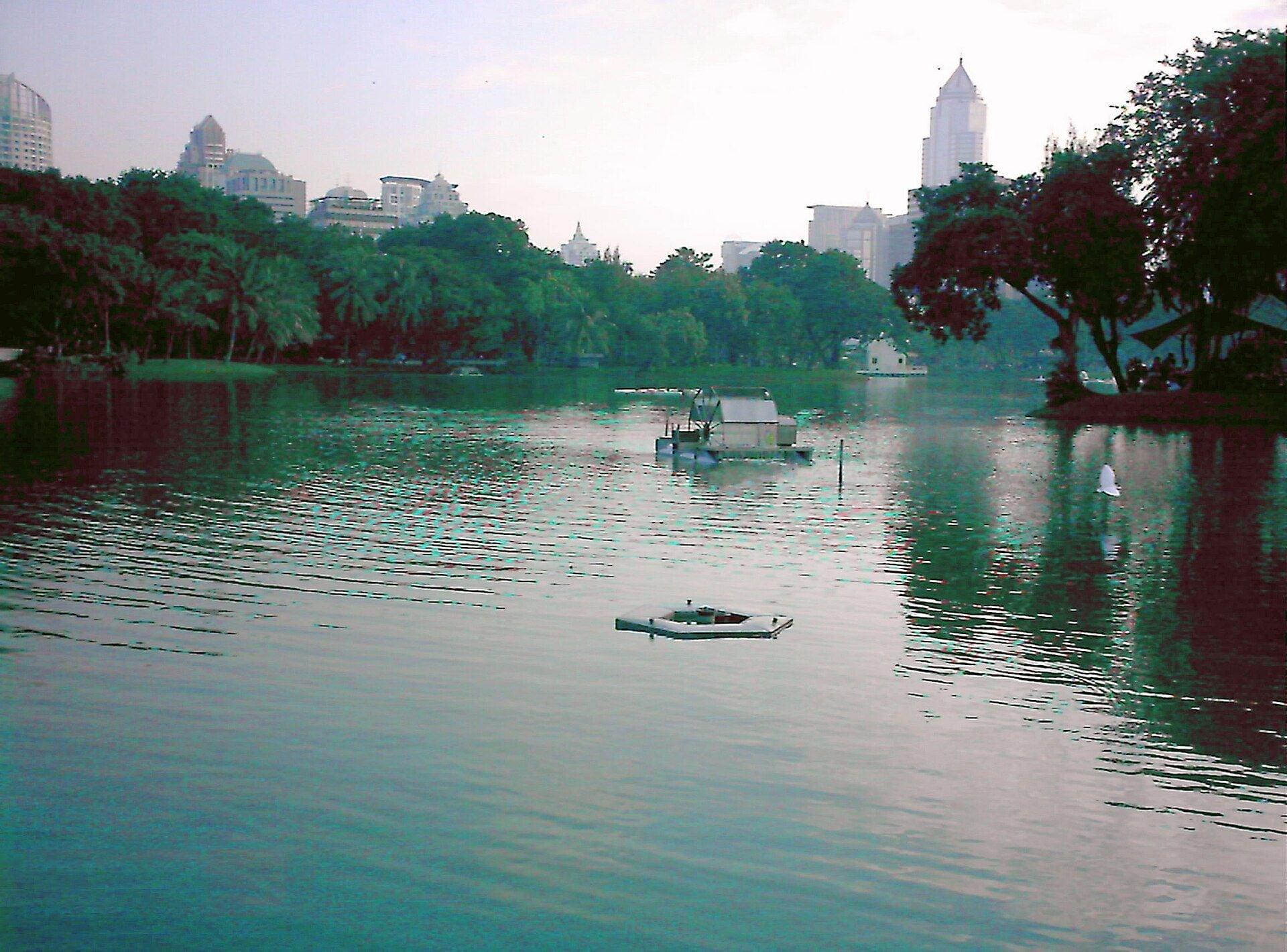
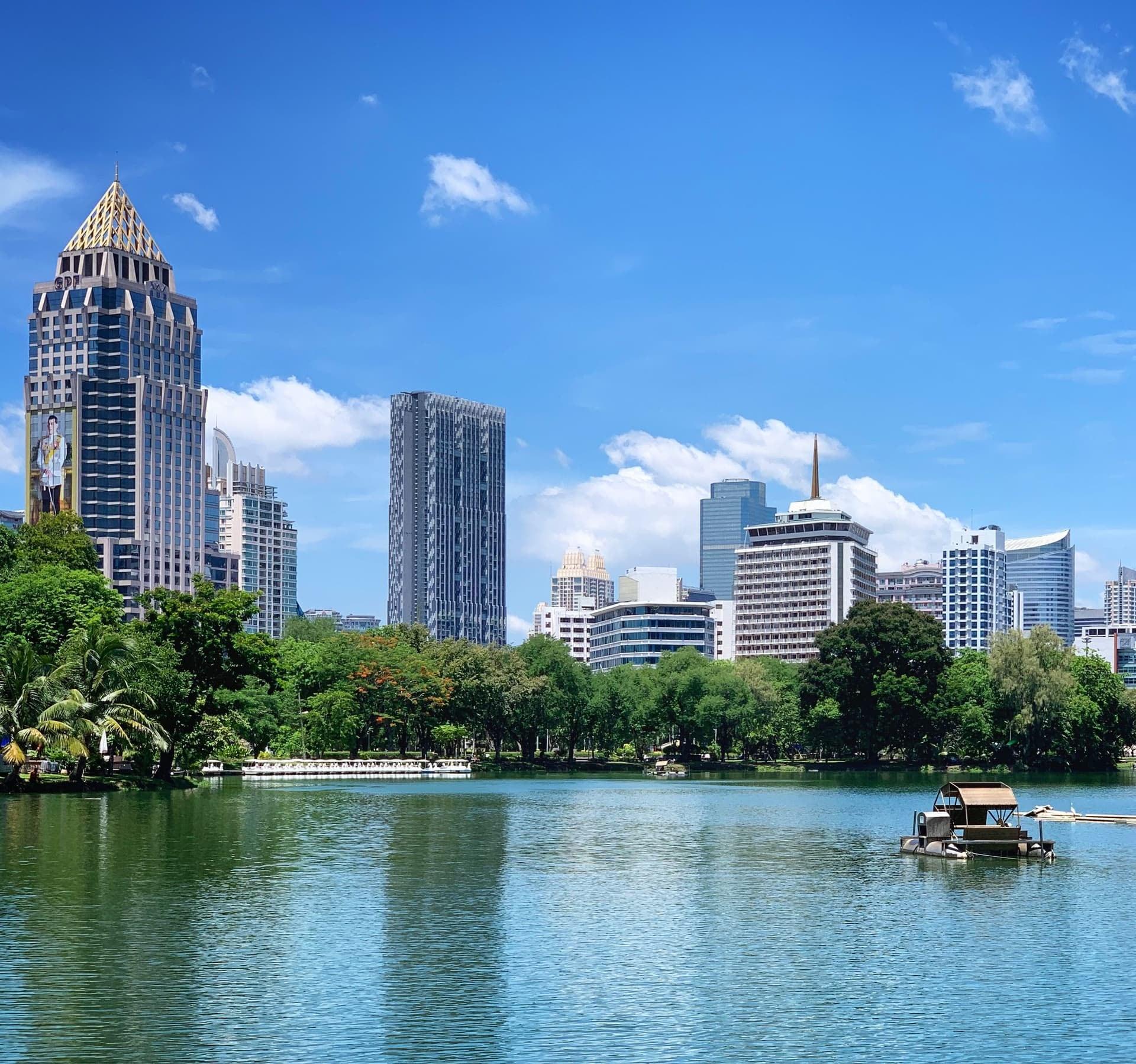
The lake meant for royal treasures. The widest open water of the lake, with the fountain, the swan boats and the towers of Silom and Sathorn over the far trees.
- 6
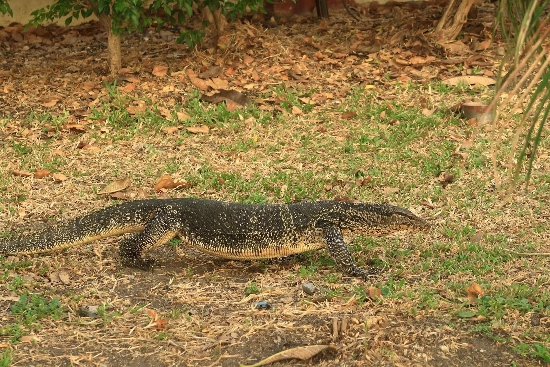
Water Monitor Canal
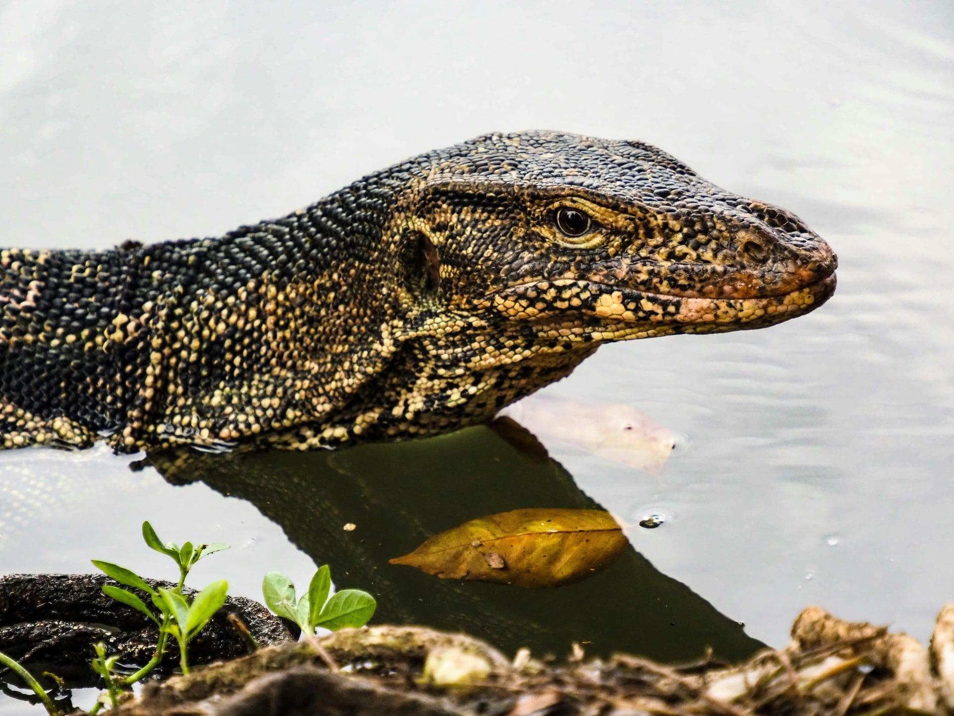
About 400 water monitors live here. The ring path by the park's monitor statue, where Asian water monitors bask on the banks and swim in the canal and the lake.
- 7
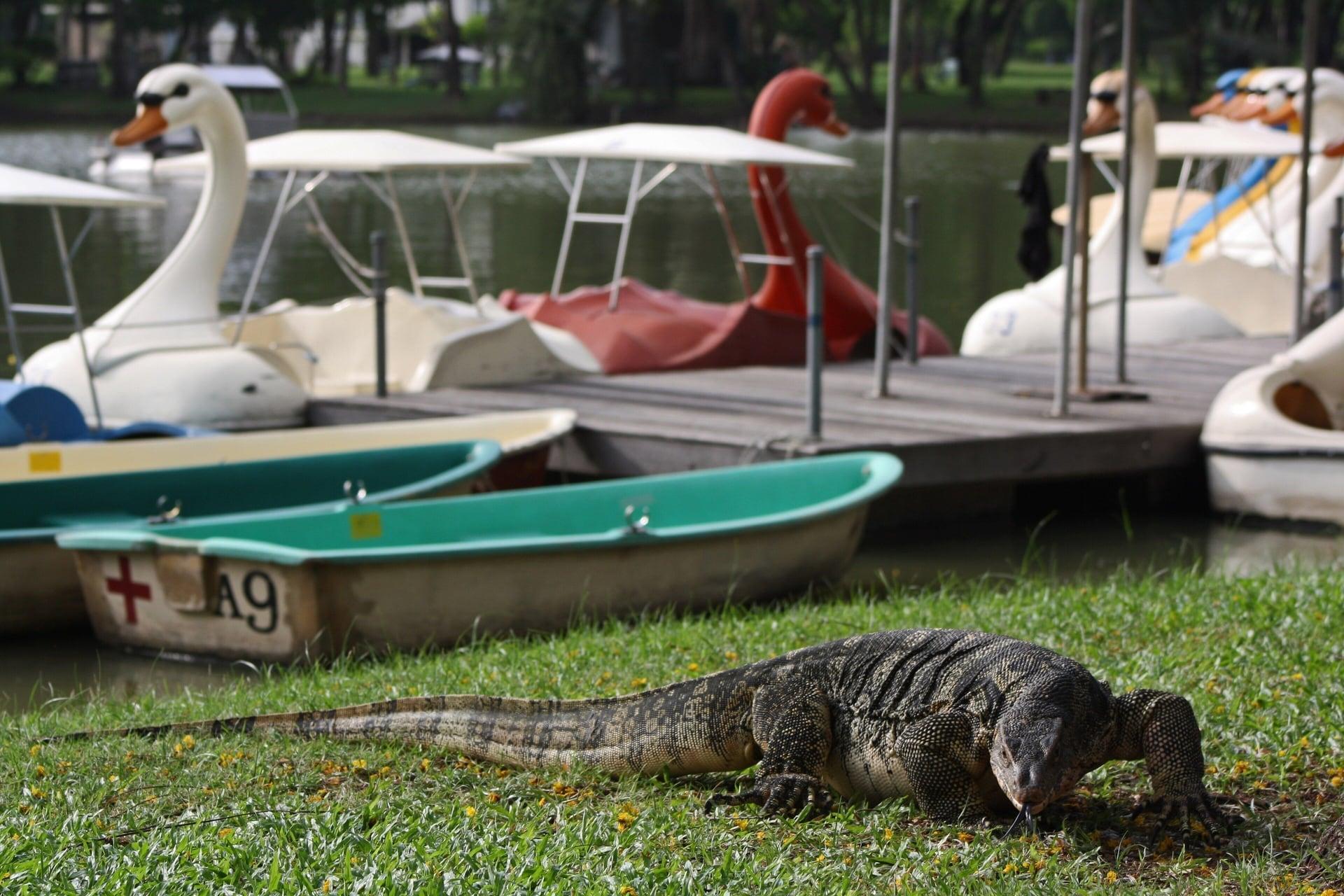
Swan Boat Pier
Pedal boats on the fair's pond. The boat kiosk on the lake shore, where swan-shaped pedal boats go out round the island in the morning and afternoon.
- 8
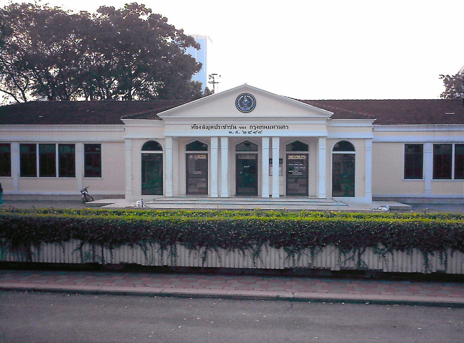
Lumphini Public Library
The city's first public library. A single-story building of 1955 with its name and Buddhist-era date in stucco on the gable, given a conservation award in 2007.
- 9
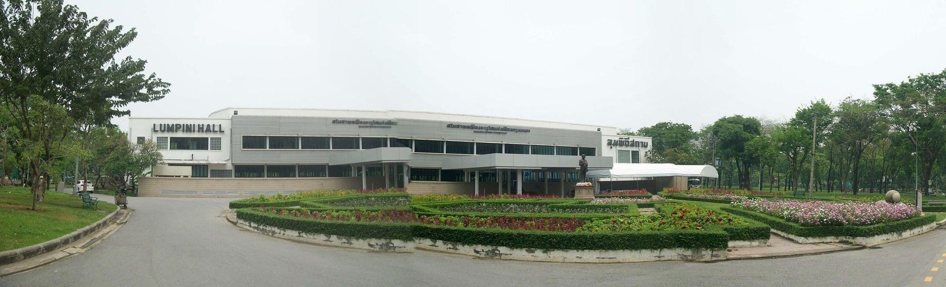
Lumphini Hall
A ballroom with a turning stage. Lumphini Hall, the long white building where the city danced in the 1950s, locked as unsafe by 2024 and reopened in 2026.
- 10
Gate 3 Canal
A road that began beside a canal. Gate 3, the park's main gate onto Rama IV Road, and the strip of water inside the fence that the maps call Khlong Hua Lamphong.
- 11
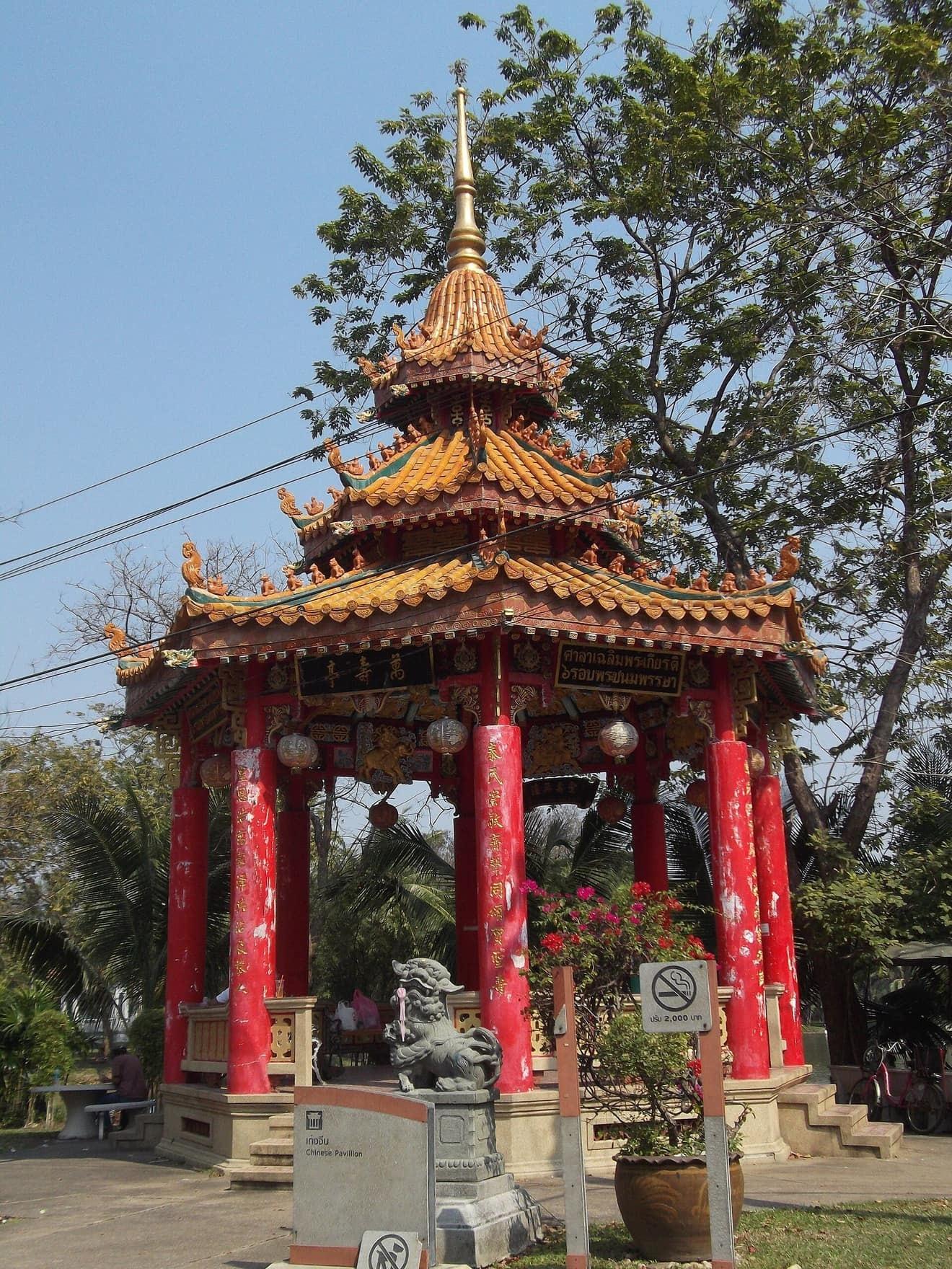
Chinese Pavilion
A pavilion built in Chinese style. A curved, glazed tile roof on red columns by the park's south-east pond, from a friendship garden marking 25 years of Thai-Chinese relations.
- 12
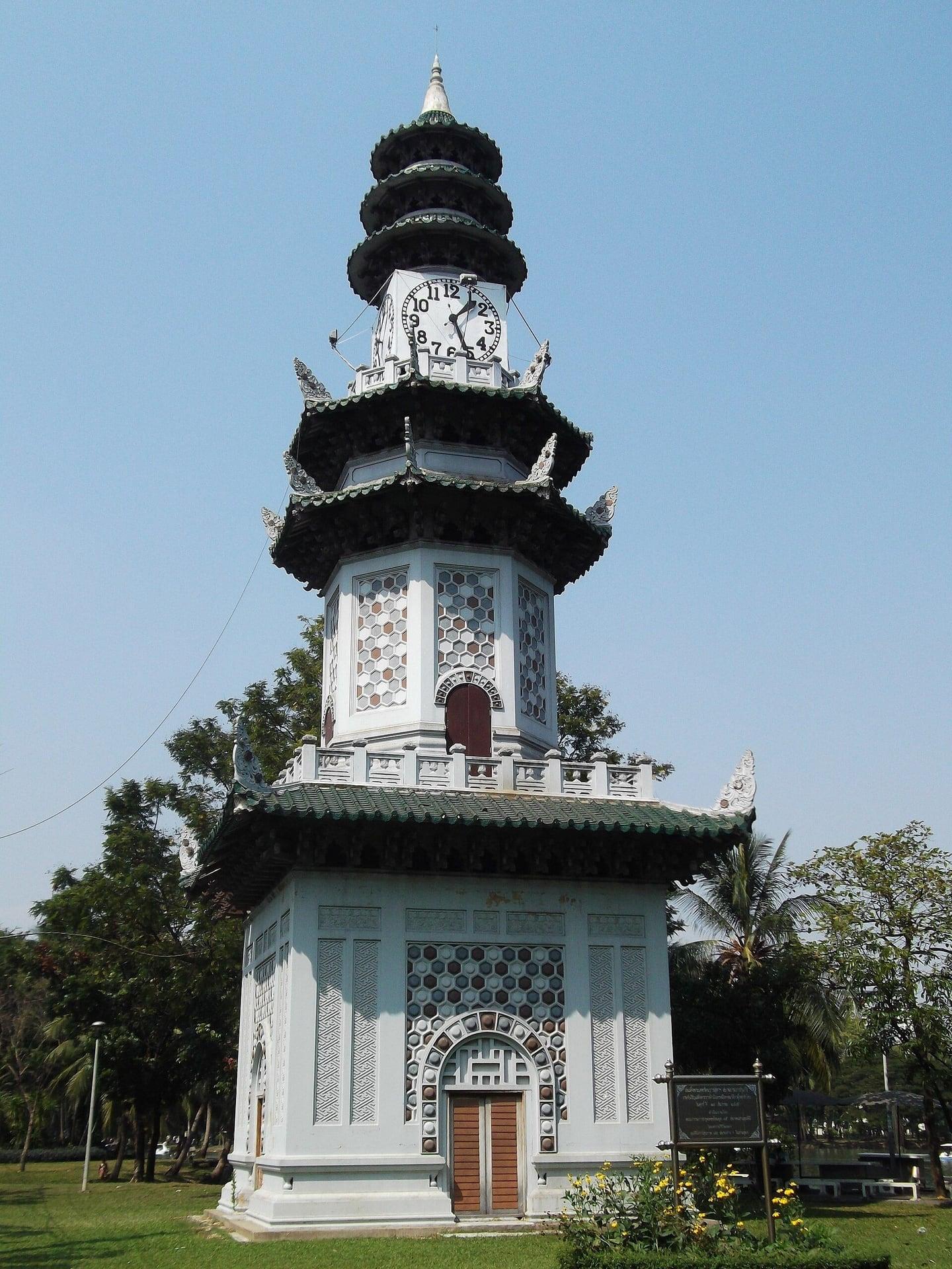
Chinese Clock Tower
A clock tower under Chinese roofs. The four-faced tower with stacked pagoda roofs that keeps the park's time, given a facelift for the centenary, by Gate 2 and MRT Lumphini.
Details
Best Time to Visit
Early morning (the gates open at 4:30 am) or late afternoon, November to February. The park is open daily 4:30 am to 10 pm and free (BMA notice of 1 August 2022; MGR Online, 7 April 2026). Most paths are shaded; the start plaza and the boat-pier shore are not. Sunset is about 5:48 pm in mid-November and 6:26 pm at the end of February (computed); the island and shore paths are unlit, so finish by about 5:30 pm, or stay on the lit ring for the 6 pm anthem pause. Boats run about 9:00 to 11:30 and 13:00 to 17:30. Checked 11 November 2026.
Pro Tips
- •Start on the plaza at the King Rama VI Monument, at the park's corner outside the fence. MRT Blue Line, Si Lom station (BL26), Exit 1 opens onto the same corner: no road to cross. Exit numbers as MGR Online (7 April 2026) and OpenStreetMap give them; check the station signs. Checked 11 November 2026.
- •From the BTS Silom Line, Sala Daeng station (S2): take the covered skywalk to MRT Si Lom and go through the MRT concourse to Exit 1. Never cross Rama IV Road at street level. Checked 11 November 2026.
- •The walk ends at the Chinese clock tower. Gate 2 is about 90 m on, and MRT Lumphini (BL25), Exit 3, is on the Rama IV and Witthayu corner just beyond it, with no road to cross. Checked 11 November 2026.
- •Best hours: from 4:30 am, when the gates open, or late afternoon. Sunset is about 5:48 pm in mid-November, 6:00 pm at the end of December and 6:26 pm at the end of February (computed). The island and shore paths are unlit: finish by about 5:30 pm.
- •Boats (stop 7): pedal and rowing boats from the kiosk at the pier, run by a private concession, recently 9:00 to 11:30 and 13:00 to 17:30 (MGR Online, 7 April 2026); ask at the kiosk for the current price. Optional, not included. Checked 11 November 2026.
- •The library (stop 8) is free and closed on Mondays; Lumphini Hall (stop 9) opens for events. Both stops work from outside.
- •To go on to Benjakitti Forest Park: the Green Bridge, a raised walkway, leaves the park's north-east corner, about 600 m back across the park from the end; it reopened on 1 May 2026, announced by MGR Online (7 April 2026) and Time Out Bangkok (22 April 2026); some finishing works were reported after that. Checked 11 November 2026.
Safety & Precautions
- •The park is open daily 4:30 am to 10 pm and free (BMA, since 1 August 2022; MGR Online, 7 April 2026). Outside those hours the gates are locked: stop 1 plays on the plaza outside, and the walk stops there. The city is reviewing its park rules in 2026 (The Standard, 19 February 2026): check the hours before you go. Checked 11 November 2026.
- •The paths are shared with runners and cyclists; keep to the walking side. The ring has a separate one-way cycle lane, crossed six times on this walk: at stops 2, 6 and 10, step to the edge of the path, away from the lane, before you listen. Runners are fastest at dawn and after 5 pm.
- •Just inside the gate after stop 1, the route crosses the park's service drive: watch for park vehicles. There is no public road to cross on the walk.
- •Water monitors are wild and protected: keep your distance, and never feed or touch them: MGR Online (7 April 2026) warns they may bite if startled.
- •At 6 pm the national anthem plays over the park's loudspeakers and the park stops: stand still with everyone until it ends. It also plays at 8 am.
- •Sun on the start plaza and the boat-pier shore; most paths are shaded. Carry water and a hat. Ask before photographing people, especially at the gym. The King Rama VI Monument is a royal monument: keep a respectful distance.
- •GPS can wander under the island's trees (stops 4 and 5) and among the towers at stops 1 and 12: start a stop by hand if needed. The in-app map may draw the lake island as water: the island paths are solid ground, reached by short arched footbridges.
Travel advisory: Exercise Normal Precautions (Level 1).
Gallery
Related Reading
Go deeper on what you'll see, hear, and walk through.
Overview
Bangkok Travel Guide 2026: Days, Transport, Season, Safety, and Budget
8 min
Overview
One Day in Bangkok: A Walkable Itinerary from Temples to Chinatown
8 min
Thematic
Bangkok in Layers: A Capital Founded as a Copy, Still Open for Business
8 min
Companion
Lumphini Park: The Fair That Never Opened and the Park Bangkok Got Instead
8 min
Deep dive
Lumphini Park's Water Monitors: Bangkok's Giant Lizards on the Lake
5 min
Read the walk
The full story of Lumphini Park: The Fair That Never Opened, in words. Prefer to listen? Play it narrated, from home or on location.
Introduction
Bangkok's first public park was built for a party that never happened. In nineteen twenty five, King Vajiravudh, Rama the Sixth, gave a field of his own land at Sala Daeng for a great national exhibition. Workers dug a lake, made an island in it and cut roads. Then the king died, the fair was called off, and the city got a park instead. This walk follows what grew on that fair ground: the lake and its island, a library and a ballroom from the nineteen fifties, and the way Bangkok uses the place today, from the runners and the open-air gym to the big lizards on the banks.
There are twelve stops over about two kilometers, about one and a quarter miles, and it takes about sixty five minutes. It is flat, with no road to cross. You cross the ring's cycle lane several times and walk over four short footbridges, so watch for bikes and runners.
The park is free and open every day from half past four in the morning to ten at night; outside those hours the gates are locked. Most of the paths are under trees, but the corner plaza at the start and the boat pier are in full sun, so bring water and a hat. Early morning and late afternoon are the coolest hours, and the busiest. The ring is lit, but the island and shore paths may not be, so in the cool season finish by about half past five.
The walk ends at the Chinese clock tower, a short way from MRT Lumphini station. When you arrive at the King Rama the Sixth Monument, begin with stop one.
1. King Rama VI Monument
This is the King Rama the Sixth Monument, on the plaza at the park's corner. If you have come up from MRT Si Lom, Exit One, you are on the right plaza. Stop near the statue, and keep a respectful distance.
The figure on the tall plinth, a few steps away, is King Vajiravudh, Rama the Sixth. The city's park office says the statue was set up in nineteen forty two, to remember the founder of Lumphini Park. The park's fence runs past it, with the gate you will walk through.
This park was built for a party that never happened. In January nineteen twenty five, this field, Sala Daeng, the king's own land, was chosen for the Siamese Kingdom Exhibition, a great national fair. It was planned to open on the twenty third of January nineteen twenty six, for the fifteenth anniversary of his reign. He paid the first costs himself, and a new tram line was granted to carry the crowds. He named the ground Lumphini, after Lumbini in Nepal, the birthplace of the Buddha.
In November nineteen twenty five, the king died. In December, the exhibition was cancelled. The digging had already begun, and the field became a park instead: Bangkok's first public park. Everything on this walk is what grew on that fair ground.
This is a royal monument. Speak of it quietly, and stay back on the plaza.
Follow the route through the gate into the park. Just inside, you cross the park's service drive: watch for park vehicles.
2. Running Ring
Walk on along the central avenue to where it meets the ring path, and stop just before the cycle lane. Step to the edge of the path, away from the bikes, before you listen.
Ahead, the ring runs off both ways under the big trees, lit at night, with its own one-way lane for cyclists. This is where Bangkok comes to run. At dawn, when the gates open at half past four, and again from about five in the afternoon, the ring fills with runners, walkers and cyclists. On weekday evenings from six, an aerobics class takes over part of the park.
The park's first works in nineteen twenty five cut roads across the old field, the city's park history says. These wide paths were laid out as roads. Today they carry no cars: they belong to feet and bicycles. Keep to the walking side. Runners come through fast at dawn and after five.
One thing to know before evening. Thailand plays its national anthem at eight in the morning and six in the evening. Here, at six in the evening, it plays over the park's loudspeakers and the whole park stops. Stand still with everyone until it ends. Then the park moves again.
Follow the route across the cycle lane onto the ring, and on along it under the trees. The next stop is the park's open-air gym.
3. Open-Air Gym
Keep on along the ring, and stop where a path to the lake bears off to the right. Just ahead, on the left side of the ring, the railed yard under the trees is the open-air gym.
Look through the rails: weight benches, iron racks and barbells, and people training in the open air. Bangkok's open-air gym, sometimes called its Muscle Beach, after the famous outdoor gym in Los Angeles, though this one has none of the gloss. The equipment is old and heavy. In twenty twenty five, a reporter for The Guardian watched old men straining under barbells here.
It belongs to the same idea as the ring behind you. This is where people come to use their bodies in public, at dawn before the heat, and again in the evening, when the gym is at its busiest. Nobody here is performing. They are just training, under the trees.
This is a working gym, not a show. Please do not photograph people training without asking.
Follow the route onto the path toward the lake. You cross the cycle lane, then a short arched footbridge onto the island in the lake.
4. Lake Island
You are on the island now. The map in the app may draw this as water, but the path under your feet is solid ground, with the lake through the trees on both sides. Keep on along the island path for a moment, and stop.
This island was made by hand. The city's park history says that in nineteen twenty five a wide pond was dug here, with a floating island built in the water, roads cut, and permanent buildings put up, among them a clock tower. The lake still carries that plain name on the maps: Sa Kwang, the wide pond.
So you are standing on a piece of the plan for the fair that never opened. The diggers made the water and the island for crowds that never came. The crowds came later, for other reasons.
In the early nineteen fifties, the park's own history says, the Constitution Fair came here, with a beauty pageant staged on this island. The fair the king planned never opened, but a fair of another kind found the island anyway.
The trees are thick here, so GPS can wander. If the next stop does not start on its own, start it by hand.
Follow the route along the island path. The next stop is just before the bridge off the island, where the water opens up.
5. Island Bridge Lookout
Walk on along the island path, and stop just before the short arched bridge off the island. Turn toward the widest stretch of open water, where the swan boats float, and the fountain plays when it is running. This is the view the planners drew. In the exhibition plan, the…
Full narration for this stop unlocks with the tour.
6. Water Monitor Canal
Keep on along the ring path, and stop by the big statue of a lizard. Step to the edge of the path, away from the cycle lane, before you listen. That statue was put up near the lake in twenty twenty five. The real ones are probably close by: on the banks, in the water, sometimes…
Full narration for this stop unlocks with the tour.
7. Swan Boat Pier
Come over the little footbridge and along the shore path, and stop by the boat kiosk, on the path itself. The floating pier beside it is for boarding only. Across the water is the island you crossed. These are the park's pedal boats, many of them shaped like swans. The city's…
Full narration for this stop unlocks with the tour.
8. Lumphini Public Library
Stop here, with the long, low building you have just passed back over your left shoulder. That is the Lumphini Public Library. The Association of Siamese Architects, which gave it a conservation award in two thousand seven, says it was built in nineteen fifty five and opened on…
Full narration for this stop unlocks with the tour.
9. Lumphini Hall
Stop at the corner of the long, low hall, by its garden. This is Lumphini Hall. Lumphini Hall was the city's ballroom in the nineteen fifties, with a stage that turns, Time Out Bangkok reports. The city's park office describes the revolving dance stage, used for dance classes…
Full narration for this stop unlocks with the tour.
10. Gate 3 Canal
Stop where the path from the hall's garden meets the ring, by the way out to Gate Three. Step well to the edge of the path, away from the cycle lane: it runs very close here. Through the gate and over the fence, the traffic is Rama Four Road. Look along the fence and you can…
Full narration for this stop unlocks with the tour.
11. Chinese Pavilion
Follow the ring as it bends, and stop beside the pavilion with the curved, glazed tile roof and red columns, with a pond behind it. A pavilion in Chinese style. A plaque in Chinese ties it to a friendship garden marking twenty five years of Thai-Chinese relations. Thailand and…
Full narration for this stop unlocks with the tour.
12. Chinese Clock Tower
Come over the little footbridge and walk on to the clock tower, and stop beside it. Four clock faces look out from under its stacked roofs. A clock tower was part of the park's first works in nineteen twenty five. This one, with its stacked Chinese roofs, keeps the park's time…
Full narration for this stop unlocks with the tour.
- Large monitor lizard, hanging out by the swan boats in Lumphini park, Bangkok, Thailand. — istolethetv, CC BY 2.0 · source
- สวนลุมพินี — Thaweesak Churasri, CC BY 3.0 · source
- This is a photo of a monument in Thailand identified by the ID — กสิณธร ราชโอรส, CC BY-SA 4.0 · source
- This is a photo of a monument in Thailand identified by the ID — กสิณธร ราชโอรส, CC BY-SA 4.0 · source
Images may be cropped or resized. Other photos via Unsplash and Pexels.