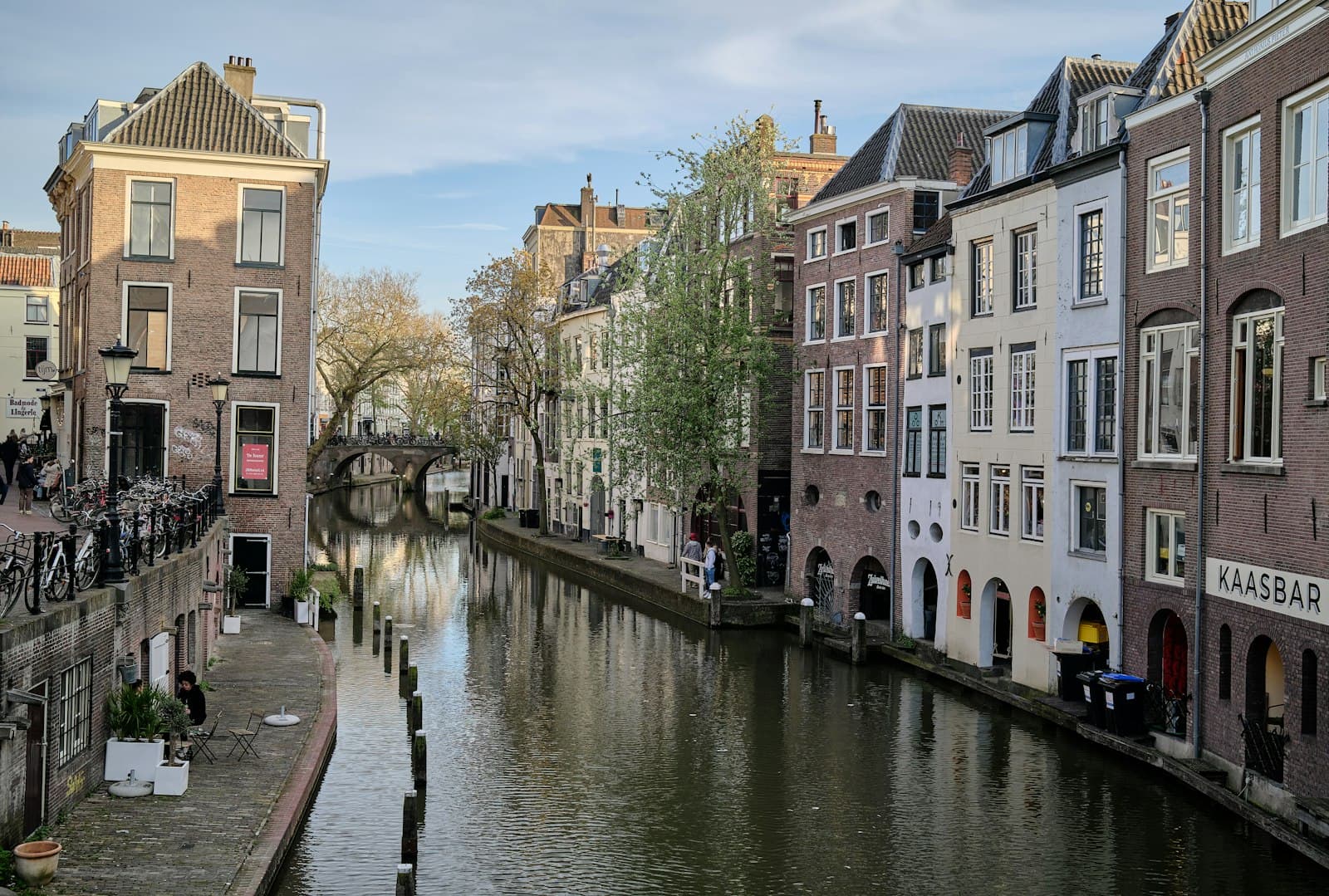
Utrecht built a second street below the street. Along the Oudegracht canal, a continuous stone wharf runs down at the waterline, and set into the wall behind it are vaulted brick cellars that tunnel back under the road. These are the werfkelders, the wharf cellars, and they turned the canal into an inner-city harbour: boats pulled up, cargo crossed a few steps of quay, and went straight into the basement beneath a merchant's own house. Understand how that machine works and you understand the whole city. Stop four of the Wharf City walk, the werf and werfkelders, is where the argument becomes physical, where you leave the upper street and stand inside the medieval logic itself.
The precondition: water well below the street
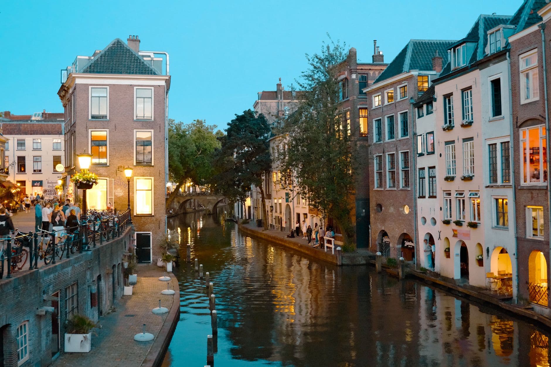
Most cities meet their water at one level. In Amsterdam the canals sit almost at street level. Utrecht is different, and the difference is the whole point. Here the Oudegracht runs well below the road, and that drop is not decoration. It is the enabling condition for everything else.
The Oudegracht, which simply means the Old Canal, runs about two kilometres through the city and was the spine of medieval trade. Think of it as an elongated inland harbour running through the middle of town, linking the old Rhine channels and the Vecht so boats could carry goods deep into Utrecht. The southern section was begun in 1122, after a dam built upstream at Wijk bij Duurstede lowered the Rhine's level in the city. The northern stretch is older still, roughly around the year 1000.
The turning point came in 1275. When the city finished its system of locks, the water level finally became constant, no longer rising and falling with the river. That steadiness is what made the second street possible. A stable water level means you can dig cellars down at the waterline that stay permanently dry, and cut quays you can actually work from. Without the locks of 1275, the werfkelders could not exist. This is engineering built on engineering: first control the water, then build into the space that control creates.
The second street itself
Hear a stop from this walk
Weerdsluis: where the city met the river
At the wharf, find the stone steps that lead down from the road and go down. You have just left the upper street and arrived on the lower one. This lower quay is the werf, and it runs almost continuously along the water. Turn back toward the buildings and you see the werfkelders set into the wall, tunnelling from the houses, in under the street you were just standing on, and opening out here at the water's edge.
The medieval logic is brutally efficient. A merchant's boat pulls up. Cargo comes off, crosses the wharf, and goes straight into the cellar beneath his own house. Nobody hauls anything up to street level. The building's storage and the harbour are the same place, stacked on top of each other. Most of these cellars were dug in the thirteenth and fourteenth centuries by private owners, and by around 1500 the system was essentially complete, with wharves and cellars lining both sides of the canal. There are hundreds of them.
This two-level arrangement, a public wharf with cellars burrowed back under a working street, is widely described as unique, often called the only inner-city harbour system of its kind anywhere in the world. Today many of these werfkelders are cafés, galleries, and terraces, so you can sit inside the medieval machine and order a coffee. Stand under the vault and you feel the whole thesis at once: this is the street below the street.
Reading the canal as machinery, not scenery
The rest of the tour exists to prove that the werfkelders were not a one-off flourish but a working system that shaped the entire city, and that it kept working long after the Middle Ages. That is why the walk starts before the wharf and ends past it. You can browse Utrecht walking tours to see how this route sits among the city's others, but the argument here is single and specific.
Stop one is Stadskasteel Oudaen, a city castle built shortly after 1276, a date confirmed by dendrochronology, the dating of its timbers. It teaches the first rule of medieval Utrecht: almost nobody could afford stone. Ordinary houses were wood and thatch, which burned. Only the patrician elite, families like the Zoudenbalch who raised Oudaen, built in permanent stone, which is why the medieval fabric that survives is disproportionately theirs. The name Oudaen comes from the Van Oudaen family, who acquired it in 1395. Cannonballs from the siege of Vredenburg castle, fought between 1576 and 1577, are still embedded in its facade.
Stop two, the Stadhuis on the Stadhuisbrug, shows the same wealth becoming government: medieval merchant houses, chiefly Hasenberg and the twelfth-century Lichtenberg, slowly swallowed into a town hall behind a classical front designed by Johannes van Embden between 1826 and 1830. Lichtenberg reportedly still keeps its medieval wharf cellar down at water level. Queen Beatrix reopened the renovated building on the thirtieth of August, 2000, after a modern rear addition by the Spanish architect Enric Miralles.
Then the walk proves the canal never stopped working. At the Winkel van Sinkel, widely described as the first department store in the Netherlands and opened on the sixth of May, 1839, four cast-iron caryatids cast in England arrived by boat. During unloading on the ninth of September, 1837, the city crane's top broke and one caryatid plunged into the canal. The spot is still marked. This is the nineteenth century, centuries after the medieval golden age, and heavy cargo was still being craned up from the water. The canal was doing its original job.
At the northern edge, the Weerdsluis marks where the city met the river. Water was regulated here from around 1554, a true lock followed around 1613 with the architect Lieven de Key involved, and it was widened from 1822 onward. It was the departure point of the trekschuit, the tow-boat to Amsterdam, pulled by hand because towing horses were banned inside the city. In 2021 it gained a fish doorbell, a webcam that lets the public alert the lock keeper when fish wait to pass.
The walk closes on the Nieuwegracht, dug between 1390 and 1393, which carries the identical low water and werfkelder system but served a quiet world of private cellars, churches, and more than one hundred monumental canal houses under the trees. Same machine, two entirely different cities.
That is the payoff of walking it in order. Start in Utrecht at the werf, go down the steps, and the whole route reads as one idea made physical.
Sources
- Werfkelder (Utrecht), Wikipedia (NL): documents the wharf-cellar system, its thirteenth and fourteenth-century construction, and its two-level logic.
- Oudegracht, Wikipedia (EN): covers the canal's dimensions, the 1122 southern excavation, and the 1275 lock completion that stabilized the water level.
- Visit Utrecht Region, Canals and Wharf Cellars Walk: the official regional route describing the werf, werfkelders, and how to experience the lower quays.
- Winkel van Sinkel, Wikipedia (EN): the 1839 opening, the English-cast caryatids, and the 1837 crane accident that dropped a statue into the canal.
- Weerdsluis, Wikipedia (NL): the lock's water-control history, the trekschuit departures, and the 2021 fish doorbell.
Ready to experience it?
Oudegracht Wharves: The Streets Below the Street
90 min · 3.3 km · easy
More from Utrecht
Explore more at your own pace.
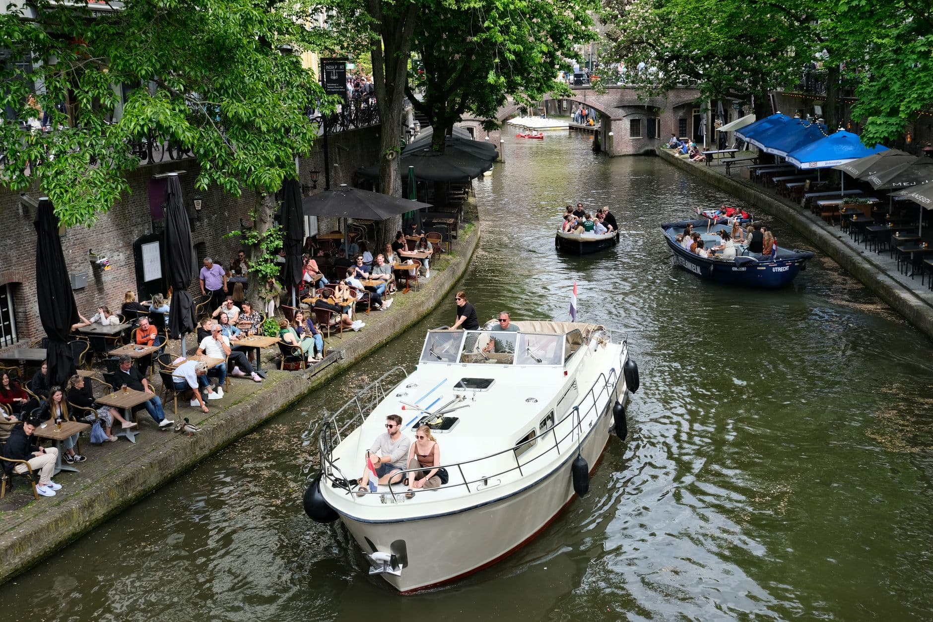
One Day in Utrecht: A Walkable Morning-to-Evening Itinerary
Utrecht: The City That Keeps Its Story Below the Surface
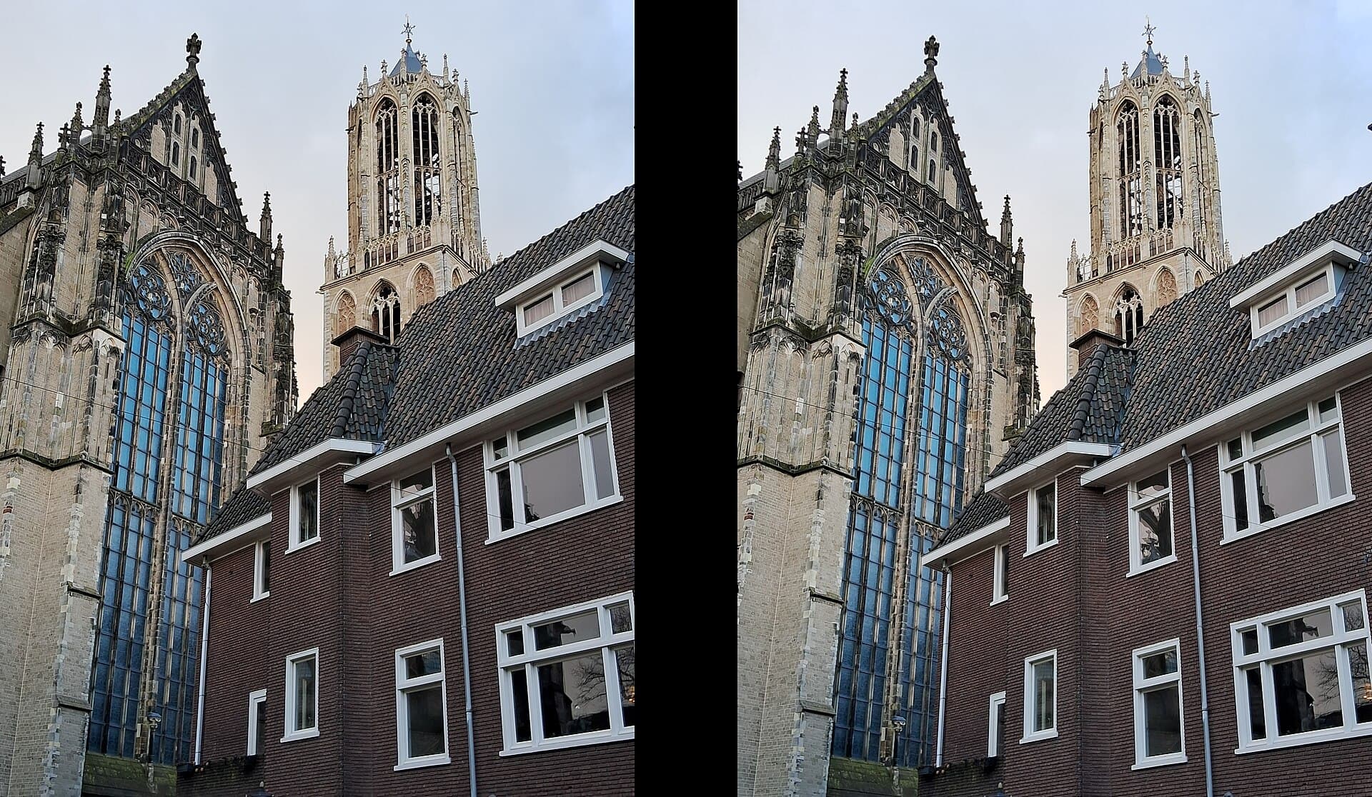
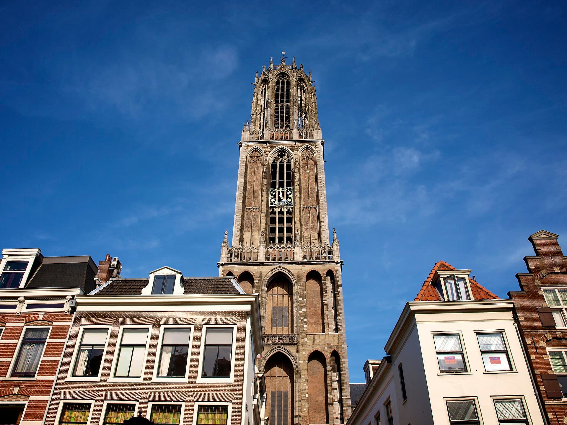
The Dom Church of Utrecht and the Storm That Split It From Its Tower
Nijntje Pleintje: Utrecht's Little Bronze Rabbit and the Man Who Drew Her
The Oudegracht: Why Utrecht's Canal Runs Below the Street