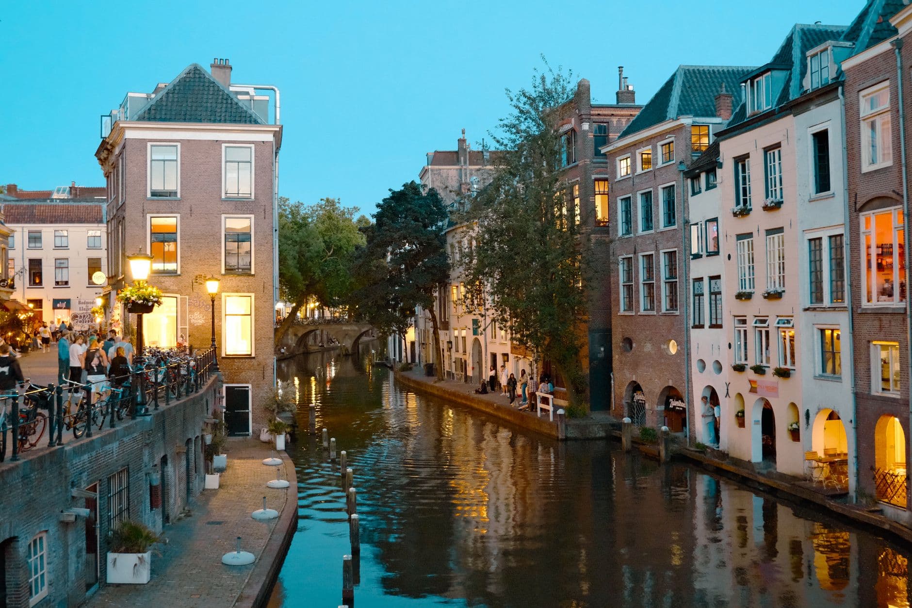
Stand at the railing on the Oudegracht in Utrecht and look straight down. The water sits far below the street, with a gap of several metres between the paving under your feet and the surface of the canal. That drop is the whole point. The Oudegracht, whose name simply means the Old Canal, was not built as decoration. It was built as machinery, an inland harbour running through the middle of a medieval trading town, and its deliberately low water is the engineering decision that let Utrecht build a second street beneath the first.
A harbour, not a view
Most canal cities meet their water at one level. Walk Amsterdam and the canals sit close to the streets that border them, near enough that the two read as a single surface. Utrecht is different, and the difference is not cosmetic. Here the water runs well below the road, and that vertical separation is the enabling condition for everything the Oudegracht became.
Think of the canal as an elongated harbour laid down the spine of the city. It runs about two kilometres, linking the old Rhine channels and the Vecht so that boats could carry cargo deep into the centre rather than stopping at a quay on the edge. Goods came in by water and reached the buildings that used them directly. The canal was the delivery system, and the town was organised around it the way a warehouse is organised around a loading dock.
Two waterways, dug at two different times
Hear a stop from this walk
Weerdsluis: where the city met the river
The Oudegracht was not founded in a single year. It was assembled in sections, which is worth understanding because it explains why the canal's character shifts as you walk it. The northern stretch is the older one, dug roughly around the year 1000. The southern part came later, begun in 1122, and there is a specific hydrological reason for the timing.
Upstream, at Wijk bij Duurstede, a new dam was built across the Rhine. That dam lowered the river's water level here in Utrecht. A lower Rhine changed what the city could do with its own channels, and the southern section of the Oudegracht was cut in response. This is the kind of detail that reframes the canal entirely. It was not laid out to a fixed aesthetic plan. It reacted to the behaviour of a river dozens of kilometres away, which is exactly how you would expect a piece of working infrastructure to behave.
The decision that made everything possible: 1275
For a long time the water in the canal was not steady. It rose and fell with the river, the way an unregulated channel does. An inconstant water level is a serious constraint. You cannot build storage at the waterline if the waterline moves, because the space you dig will flood, then dry, then flood again. You cannot rely on a quay to work from if the height of the water against it keeps changing.
The turning point came in 1275, when the city finished its system of locks. Locks let a stretch of water be held at a chosen level independent of the river feeding it. Once the locks were closed, the Oudegracht's water became constant. It stopped rising and falling. That is the moment the whole two-level city becomes possible.
A steady, low water level unlocked two things at once. First, you could dig cellars down at the waterline that stayed permanently dry, because the water would never rise to reach them. Second, you could build quays at a fixed height and actually work from them, loading and unloading against a surface that stayed put. The historical record is direct about this: the finishing of the locks in 1275 is what made permanently dry cellars and new quays at water level possible. One engineering decision, taken in a single generation, converted a variable channel into stable infrastructure.
Reading the two levels from the railing
From where you are standing, you can see the consequence. Below the street runs a continuous stone wharf, the werf, and set back into the wall beneath the road are the vaulted brick cellars, the werfkelders. They tunnel from the houses, in under the street you are standing on, and open out at the water's edge. A merchant's boat pulled up here, the cargo crossed a few steps of wharf, and it went straight into the basement beneath his own house. Storage and harbour were the same place, stacked vertically. None of that geometry works without the low, constant water the locks delivered in 1275.
This arrangement, a public wharf with cellars burrowed back under a working street, is very widely described as unique, often called the only inner-city harbour system of its kind. The honest way to put it is that there is nowhere else quite like it. And every part of it traces back to the same root decision about water level. The canal is deep below the road not because someone preferred the look, but because a deep, fixed water level is what a cellar-and-wharf harbour requires.
Still delivering, centuries later
The Oudegracht did not stop being infrastructure when the Middle Ages ended. Along this same canal, heavy cargo was still arriving by boat well into the nineteenth century. When the grand Winkel van Sinkel building was fitted out in the 1830s, its massive cast-iron statues were cast in England, shipped by boat up the canal, and craned onto the building from the wharf. During the unloading, on the ninth of September 1837, the top of the city crane broke off and one of the statues fell into the water. That episode is a useful reminder standing here: this was a live cargo route for centuries, not a preserved relic. The low water and the working quay were doing their original job long after the merchants who first dug the cellars were gone.
Today the werfkelders hold cafés, galleries, and terraces, so people sit at water level and drink coffee inside a medieval loading dock. The machine kept running; only its cargo changed.
Walk it at both levels
The Oudegracht rewards the visitor who understands what they are looking at. Stand at the street railing, register how far below you the water sits, then find the stone steps and go down onto the wharf. From the lower level you can see the cellar mouths open back under the road and feel the vault overhead. That is the two-level city made physical, and it exists because of a water-level decision finished in 1275.
To read the whole system in sequence, from the stone castle that could afford permanence to the lock where the city met the river, walk the "Streets Below the Street" tour, which puts the Oudegracht at its centre. You can browse the full set of Utrecht walking tours or start from the Utrecht city page and follow the canal from there.
Sources
- Oudegracht, Wikipedia (English). Overview of the canal's length (two kilometres), its two construction phases (northern stretch around the year 1000, southern section from 1122), the Wijk bij Duurstede dam, and the 1275 completion of the locks that made the water level constant and enabled permanently dry cellars and new quays at water level.
- Canals and wharf cellars walk, RoutesinUtrecht. Regional tourism route describing the wharf (werf) and wharf cellars (werfkelders) that define Utrecht's two-level canal system.
- Winkel van Sinkel, Wikipedia (English). Documents the cast-iron statues cast in England and delivered by barge, and the September 9, 1837 crane incident, evidence the Oudegracht remained a working cargo route into the nineteenth century.
- Roamer tour transcript, "The Streets Below the Street" (utrecht-oudegracht-wharves), fact-audited stop on the Oudegracht. Primary source for the canal-as-machinery framing and the low-water engineering argument.
Ready to experience it?
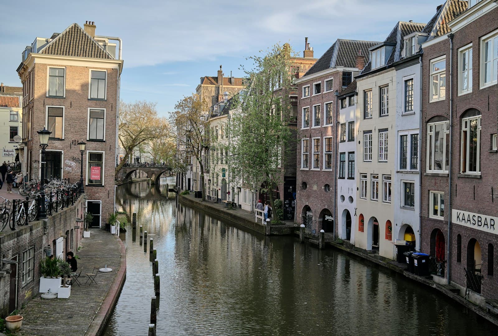
Oudegracht Wharves: The Streets Below the Street
90 min · 3.3 km · easy
More from Utrecht
Explore more at your own pace.
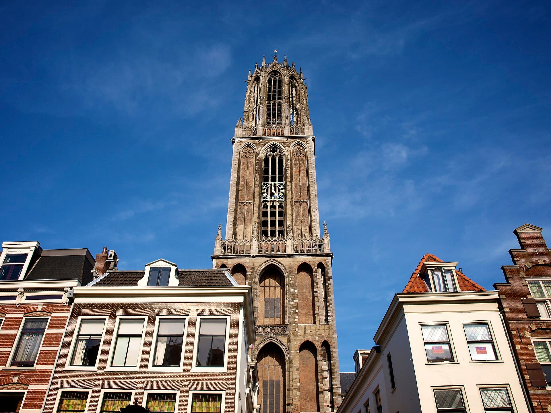
One Day in Utrecht: A Walkable Morning-to-Evening Itinerary
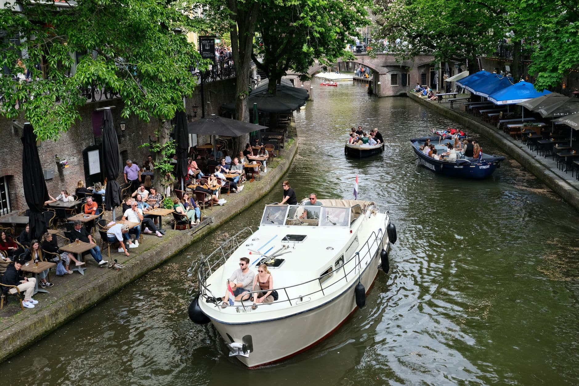
Utrecht: The City That Keeps Its Story Below the Surface
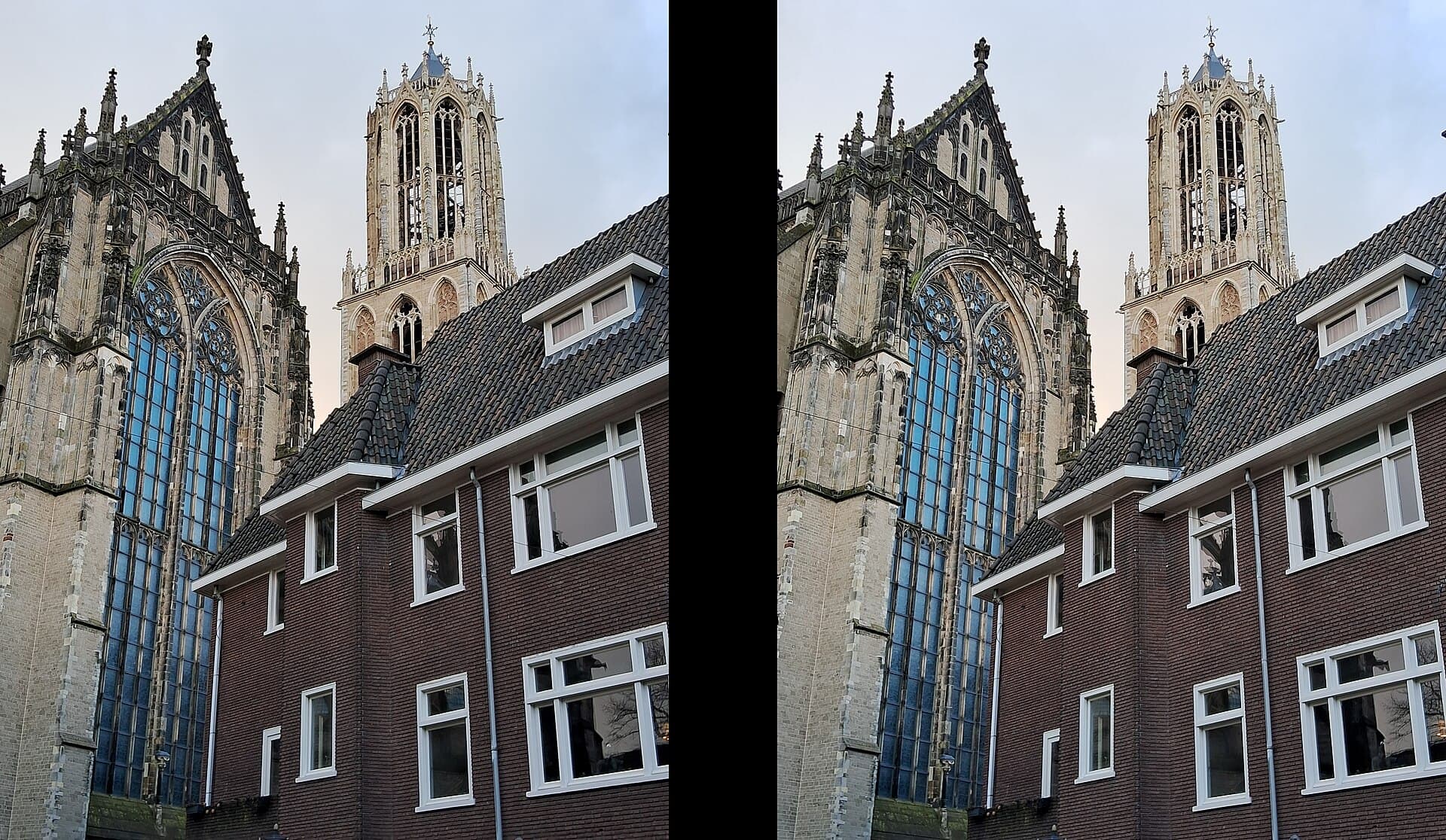
The Dom Church of Utrecht and the Storm That Split It From Its Tower
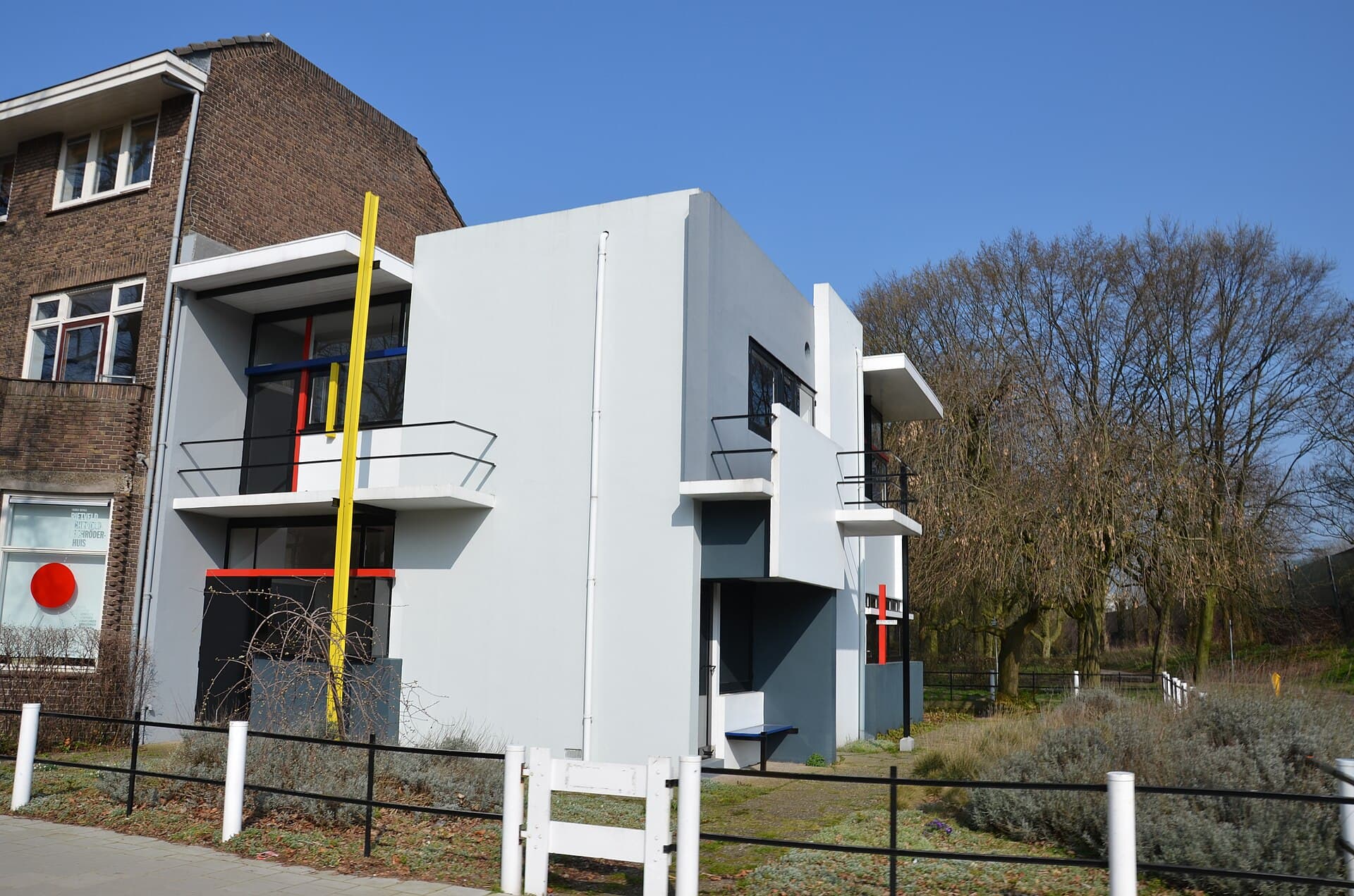
The Rietveld Schröder House: Utrecht's Manifesto You Can Stand Inside
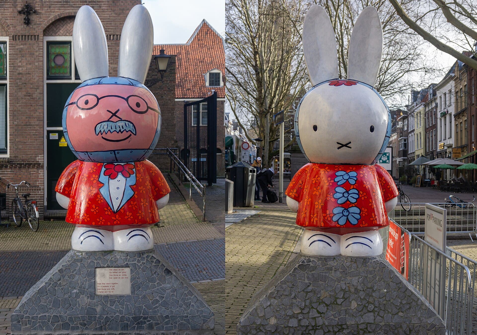
Nijntje Pleintje: Utrecht's Little Bronze Rabbit and the Man Who Drew Her