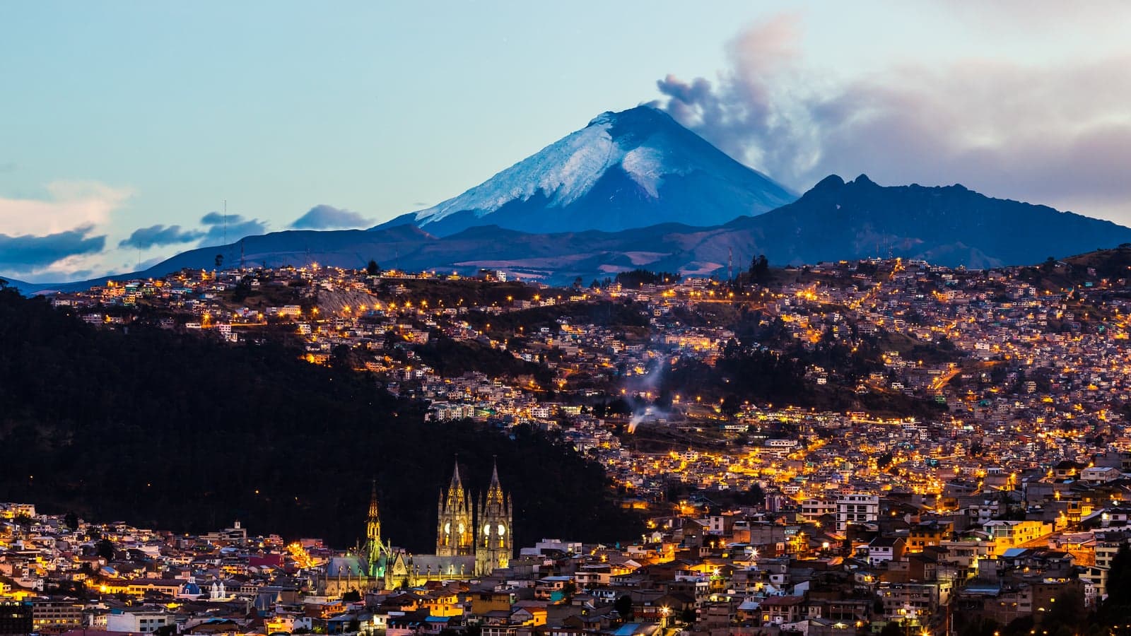
Stand on Calle Venezuela a little below the Basílica del Voto Nacional and look down the street. It runs dead straight and falls the whole way, and at its far end, on the hill of El Panecillo, stands a winged Virgin. That view holds the whole idea of Quito's old town in one line. The Spanish who founded the city in 1534, on the ruins of an Inca city, laid their checkerboard of streets square to the points of the compass, and they laid it across the flank of the Pichincha volcano anyway. So the streets here do not wind. They fall.
The Old Town: The Way the Water Runs walk is built on that fact. It runs eleven stops and about 2.3 kilometres, roughly an hour and forty minutes, from the Basilica at the top of the old town to the Plaza de Santo Domingo. It is not downhill all the way. It drops down Venezuela to the Plaza del Teatro, climbs back about thirty metres through the main squares, steeply for one block on Calle Flores, and then falls again to a ravine the city filled in.
The top of the hill
The Basilica is the newest of the great churches on the walk. Ecuador was consecrated to the Sacred Heart in 1874, and in the 1880s a great church was vowed as its monument: Voto Nacional means national vow. The French architect Emilio Tarlier drew it on the model of French Gothic cathedrals. Building began in the 1890s, and for lack of money it was not inaugurated until 1988. Along its flanks, up at the roof line, the gargoyles are Ecuador's animals. People in Quito like to say the world will end on the day the Basilica is finished; that is a local legend, not a building schedule.
Calle Venezuela, the second stop, shows what the old town is made of. UNESCO describes the houses as one or two floors around one or more patios, usually of earth brick under stucco. The eighteenth-century house beside the stop, now the free Museo Camilo Egas, is whitewash over thick walls under red clay tile, with dressed stone kept for the corner and the door frame. The carved stone went on the churches.
One lot, many lives
Hear a stop from this walk
Plaza de Santo Domingo: Sucre's Square
The old town kept its plan by fitting each new age into the old lots. The Plaza del Teatro was the Plazuela de las Carnicerías, the meat-stall square, from 1565 to 1765, then a bullring, until Congress banned bullfights in 1867. The white neoclassical Teatro Sucre on its edge opened on 25 November 1886 to a design by a German architect, and it is named for Antonio José de Sucre, who won the Battle of Pichincha in 1822.
San Agustín shows the other force that shaped the old town: earthquakes. Its stone front carries the date 1617, the upper part of its tower fell in 1645, 1755 and 1797, its dome fell in 1859, and in the earthquake of 1868 all its roofs came down; it reopened in 1880. On 16 August 1809 an open town council met in its chapter hall and signed there the act of the rising of 10 August.
The Plaza Grande has one power on each side: the presidential palace of Carondelet, the cathedral begun in 1562, the archbishop's palace and the city hall, built from 1956 to 1976 on the lot of the first council house. The independence column in the middle, made in Italy, was unveiled on 10 August 1906 where the square's water basin once stood. The rising of 1809 was planned in a rented room nearby, not on the square.
Stone outside, gold within
La Compañía took the Jesuits a hundred and sixty years, from 1605 to 1765. Its front is grey volcanic stone, with twisted columns that borrow from Bernini's canopy in Saint Peter's in Rome; inside, the walls, vaults and altars shine with twenty-three carat gold leaf, and Bernardo de Legarda gilded the high altarpiece in 1745. Nobody has a source for the weight of that gold, so treat any figure in tons as travel lore. Earthquakes cut its tower down to about twenty-three metres. Foreign adults paid USD 6 to go in when we checked on 5 October 2026.
San Francisco, founded in January 1535 a few weeks after the city itself, spreads over about three and a half hectares behind its vast stone plaza. The round stair up to its atrium, bulging out and then cupping in, follows a printed drawing by Sebastiano Serlio of Bramante's stair in the Vatican. From 1552 a Flemish friar, Pedro Gosseal, ran a school of arts and crafts here that trained Indigenous painters and sculptors. The tale of Cantuña, who promised his soul to the devil to finish the atrium in one night, is a legend, and the museum is named for Gosseal (spelled Gocial).
The Arco de la Reina was built in 1726 by the city's master builder, José Jaime Ortiz, to link the Carmelite convent of Carmen Alto with the chapel of the San Juan de Dios hospital, now the Museo de la Ciudad. It was not built for the worshippers of Mariana de Jesús, the Lily of Quito, who died in 1645, more than eighty years earlier. Her house became that convent, and its nuns still sell their sweets from a small shop beside the museum door.
The buried ravine
The Bulevar 24 de Mayo is a ravine. The city filled it in and opened it as an avenue in 1922, a hundred years after the Battle of Pichincha, and remade it as a boulevard in 2011. From its edge you get the walk's best view of the Panecillo Virgin, an aluminium copy, about thirty metres tall, of a small wooden carving Legarda made for San Francisco's high altar in 1734. The hill is not a stop; most visitors go up by taxi.
La Ronda, officially Calle Morales, still curves because it followed the ravine's edge. It was restored from 2006, and many of the people who lived there, owners and tenants, were moved out. Come back after dark for the music. The walk ends in the Plaza de Santo Domingo, under Sucre in bronze, cast in Paris and unveiled here on 10 August 1892 after eighteen years of trying, beside a Dominican church whose chapel of the Rosary rides on an arch over Calle Rocafuerte.
What the walk leaves you with
The old town did change. Earthquakes cut down its towers and dropped its roofs, the republic set a theatre, a column and a city hall into colonial lots, and a ravine was buried under a boulevard. But the streets are where they were: UNESCO says the plan Dionisio de Alcedo y Herrera drew in 1734 is the one you can see today, and calls this the least modified historic centre in Latin America. In 1978 Quito was one of the first twelve places put on the World Heritage List, and, with Krakow, one of the first two historic cities. Walk it from the top down and the slope explains the grid.
Ready to experience it?
Old Town: The Way the Water Runs
100 min · 2.3 km · moderate
More from Quito
Explore more at your own pace.
Best Self-Guided Walking Tours in Quito (2026)
How Quito's Old Town Kept Its Shape: A Grid Laid on a Mountain
One Day in Quito: A Walkable Old-Town Itinerary (2026)
Quito Travel Guide: Altitude, How Many Days, Getting Around, Safety (2026)
What to Eat in Quito: An Ecuadorian Highland Food Guide (2026)