Old Town: The Way the Water Runs
100 min · 2.3 km · moderate
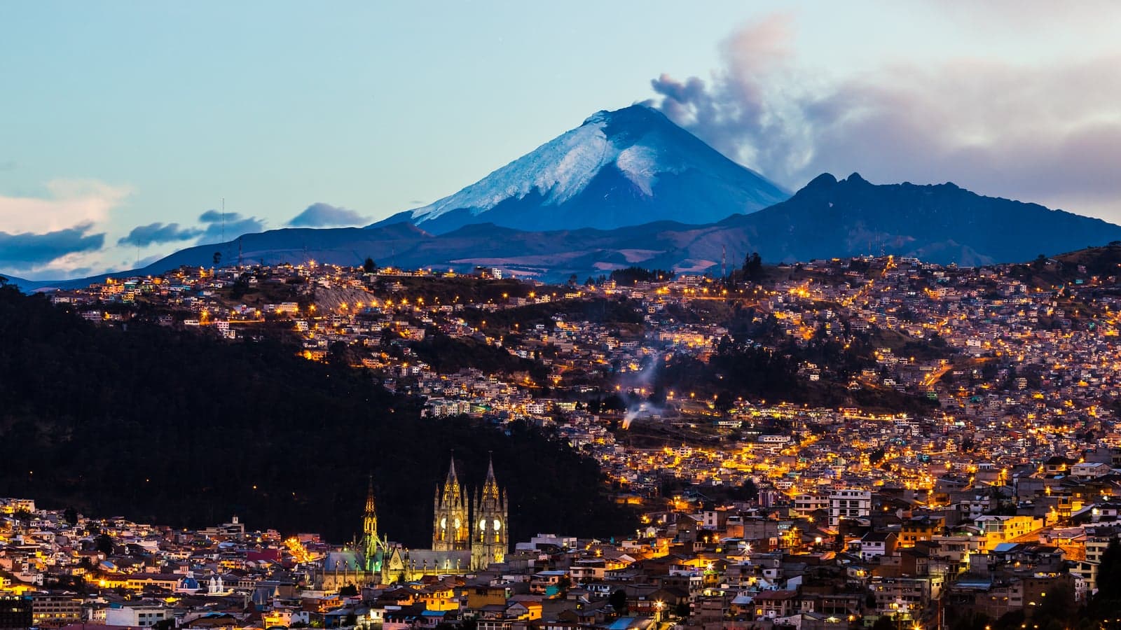
There is a popular explanation for why Quito's old town looks the way it does: the city sits so high, in so narrow a valley, that it had nowhere to grow, and so it was preserved by accident. It is a neat story, and we found no source that makes the case. The record tells a more interesting one. Quito's old town kept its shape because the city kept rebuilding inside its own lines.
A grid laid on a mountain
The Spanish founded Quito in 1534, on the ruins of an Inca city, on the slopes of the Pichincha volcano. UNESCO describes what they laid out: streets in a checkerboard pattern, aligned on the points of the compass, in a very complex topographical setting. They did not bend the grid to the ground. They laid it square across the slope, so the streets fall, and ravines cut through it.
The old town sits at about 2,850 metres, the figure Quito Turismo gives (UNESCO's own text gives both 2,818 and 2,850). Take that seriously on your first day: mountain sickness can appear six to twelve hours after you arrive above 2,500 metres, and the city's tourism office advises going easy on alcohol at first.
UNESCO's strongest line is about the plan. A map of the city drawn in 1734 by Dionisio de Alcedo y Herrera shows the streets, it says, the same as can be seen today, and it calls Quito the least modified historic centre in Latin America. In 1978 it was one of the first twelve places put on the World Heritage List, and, with Krakow, one of the first two historic cities. Not the first: the committee said the order of entry was no ranking.
What did change
Hear a stop from this walk
Plaza de Santo Domingo: Sucre's Square
The plan held; the buildings did not stand still. Earthquakes did most of the editing. The documented ones are 1797, 1859, 1868 and 1987. San Agustín's tower fell again and again, its dome fell in 1859 and all its roofs came down in 1868; the church reopened in 1880. La Compañía's bell tower, once the tallest in the city, was cut down to about twenty-three metres. The 1987 earthquake started a restoration of La Compañía that ran until 2005.
The republic changed the old town by fitting new buildings into old lots. The meat-stall square, later a bullring, became the forecourt of the Teatro Sucre, opened in 1886. The Plaza Grande's water basin gave way to the independence column of 1906, and its modern city hall, built from 1956 to 1976, stands on the lot of the first council house. The ravine of Jerusalén, which edged the old town to the south, was filled and opened as an avenue in 1922, for the centenary of the Battle of Pichincha.
Restoration changed it too. La Ronda, the lane along that ravine's edge, was restored from 2006, and many of the people who lived there, owners and tenants, were moved out.
How to read it on foot
The Old Town: The Way the Water Runs walk follows the slope from the Basilica at the top of the old town to the Plaza de Santo Domingo, eleven stops in about 2.3 kilometres. It is not downhill all the way: it climbs back about thirty metres through the main squares, so take that stretch slowly at this altitude. Walk it with the plan in mind and you see both halves of the story at once: streets that have not moved since 1734, and on them, buildings that earthquakes, the republic and the restorers have kept remaking.
North of the old town, Quito did grow, and fast: the La Mariscal and La Floresta walk follows the twentieth-century city out of it, from a 1920s garden suburb to the towers that replaced its villas.
Frequently asked questions
- How many self-guided walking tours are there in Quito?
- Roamer currently has 2 self-guided audio walking tours in Quito. Every tour is free to start: the introduction and first stop play in full, and every later stop plays a short preview before you decide to buy.
- How much does a self-guided walking tour in Quito cost?
- Each tour is free to preview and $4.99 for lifetime access. If you want more than one, a 7-day pass is $12.99 and a 30-day pass covering every tour is $19.99, which works out to well under a dollar a day.
- Can I do the Quito tours offline?
- Yes. Tours can be downloaded in advance in the Roamer app and played with no signal, which is useful when you are travelling without mobile data.
- How long are the Quito walking tours?
- They run about 100 to 105 minutes, covering 2.3 to 3.5 km on foot, with up to 11 stops on the longest route. You set the pace and can pause any time.
Ready to experience it?
Old Town: The Way the Water Runs
100 min · 2.3 km · moderate
More from Quito
Explore more at your own pace.
Best Self-Guided Walking Tours in Quito (2026)
One Day in Quito: A Walkable Old-Town Itinerary (2026)
Quito Travel Guide: Altitude, How Many Days, Getting Around, Safety (2026)
What to Eat in Quito: An Ecuadorian Highland Food Guide (2026)
Guayasamín's Foundation: The Hill Where Ecuador's Modern Art Lives