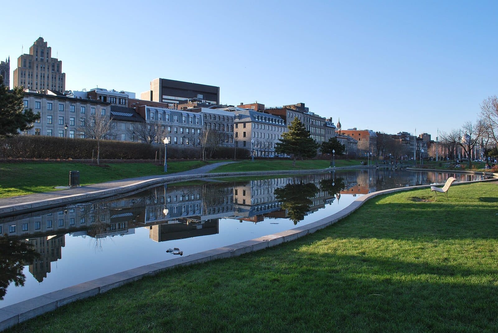
Most historic districts ask you to imagine one lost moment. Old Montreal asks you to hold three at once. The Old Montreal walk runs eleven stops and about three kilometres, from the banks of Rue Saint-Jacques to the old city walls, and one useful way to read it is as a district founded three separate times, with all three foundings still legible in the same few dozen streets. Knowing the three in advance turns a pretty riverside stroll into an archaeology of decisions.
Founding one: the mission, 17 May 1642
The first Montreal began with a mass. On the seventeenth of May, 1642, Governor Montmagny put Paul de Chomedey de Maisonneuve in possession of the island, Father Barthélemy Vimont had the Veni Creator sung and said mass, and the men were set straight to work on a palisaded redoubt. Jeanne Mance and some fifty settlers came with Maisonneuve; in 2012 the city formally recognised her as a founder on an equal footing with him. Their fort of wooden posts lay largely on the point of land where the Pointe-à-Callière museum now stands, and the walk's stop at Place Royale puts you a few dozen metres from it.
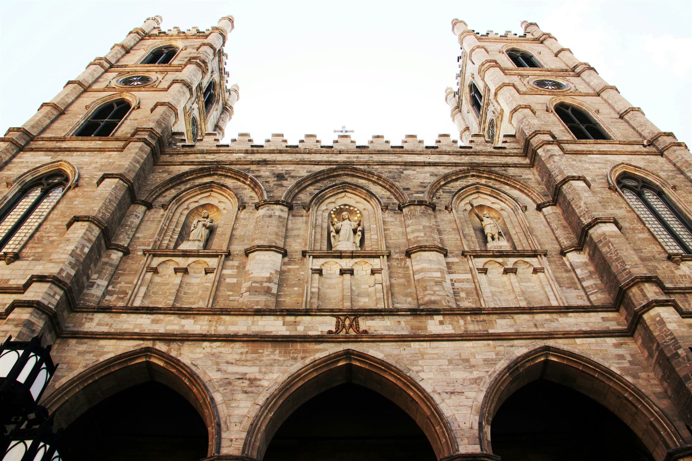
That religious origin shaped who owned the land for generations. The Sulpicians became the seigneurs of Montreal; their seminary beside Notre-Dame Basilica, begun in 1684, is the only seventeenth-century building left in Old Montreal. The basilica next door is worth reading on its own, in our companion piece on how Notre-Dame hides two architects in one building.
Founding two: the port, the 1820s and 1830s
Hear a stop from this walk
Champ-de-Mars: The Old City Walls
The second Montreal was commerce, and it arrived with engineering. Work on the Lachine Canal began in 1821 and the canal opened in 1825. In 1830 a Harbour Commission was created to improve and enlarge the port, and its first improvements, quays among them, came in 1830 to 1832. In 1836 to 1838 the government of Lower Canada built a Customs House, designed by John Ostell, in the middle of the old market square that is now Place Royale.
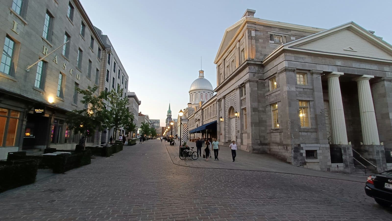
You walk this founding along Rue Saint-Paul and down onto the Old Port itself. Saint-Paul still follows the bend of the path the first settlers used along the edge of the commons, but the buildings on it belong to the merchant city: on the site of Jeanne Mance's hospital, which stood here from 1645 to 1860, Victor Bourgeau built a row of warehouse-stores in 1861. Place Jacques-Cartier shows the hand-over from one Montreal to the next in a single square. A governor's residence, the Château de Vaudreuil, stood there from the 1720s until fire destroyed it in 1803; the city then turned the site into a market in 1808, and when Bonsecours Market opened in 1847 the stalls came down and the space became Place Jacques-Cartier. The château's footprint is marked in black paving.
Founding three: the heritage district, 1964 and after
The third founding is the one most visitors never notice, and it is the reason the first two are still readable. On the eighth of January, 1964, Quebec declared Vieux-Montréal a historic district. The waterfront took longer. The grain elevator that stood in front of Bonsecours Market came down in the late 1970s, a corporation to redevelop the Old Port was created in 1981, and the Old Port reopened to the public for the city's 350th anniversary in 1992, the same year the Pointe-à-Callière museum opened, 350 years to the day after the founding.
This matters for how you read the walk. The protected streets and the open waterfront are not accidents of survival. They are the product of decisions to treat the district as a single artifact. Champ-de-Mars, behind City Hall, where the walk ends, makes the point most clearly. The stone walls Chaussegros de Léry specified in 1717 were demolished under an 1801 act, and the ground beside them, long a military parade ground, later served as a market and then a car park, and only the digs of 1986 to 1991 brought the base of the walls back into view. They were restored and put on show in 1992, and stabilised again in 2010 and 2011.
Reading all three at a single corner
The walk's method is to stand you on a spot where the layers touch and let you see the seams. Across Rue Notre-Dame from the top of Place Jacques-Cartier, City Hall, inaugurated in 1878, gutted by fire in 1922 and rebuilt with an extra storey and a new tower by 1926, speaks for the confident civic city, while the restored walls behind it at Champ-de-Mars belong to the walled French town. At Place Royale, the old market square that was the first public way in the city to be paved, you stand beside a Customs House of the port era, a few dozen metres from the fort of 1642, now shown under glass in a museum pavilion opened in 2017. Old and new are not sequential here. They are stacked.
That is why Old Montreal rewards a self-guided pace. You need to be able to stop, look down at a line in the paving, look up at a warehouse cornice, and look across at a basilica, and hold the three foundings in the same glance.
To place this district inside the bigger structure of the city, see how to read Montreal along the Main, the street that became the line between the city's east and west halves. Then compare the routes in our overview of the best walking tours in Montreal.
Ready to experience it?

Old Montreal: From the Founding Fort to the Old Port
90 min · 2.9 km · easy
More from Montreal
Explore more at your own pace.

The Deli and the Bagel: Mile End's Jewish Food Map
The Future That Bankrupted the City: Reading Montreal's Olympic Park
Richler's Mile End: Moe's Cigar Store and the Bagel Ovens
The City with a Ceiling: A Companion to the Mount Royal Walk
Notre-Dame Basilica: One Church, Two Architects, Fifty Years Apart