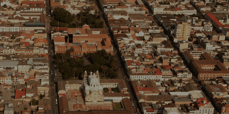
The White City walk starts on Parque Pedro Moncayo and ends at Santo Domingo: ten stops, about 1.8 kilometres, roughly an hour and a quarter, and flat, though the town sits at about 2,200 metres. The tour tells you what each building is. This piece is the longer view: what happened in 1868, how the town came back, and why the white is harder to explain than it looks.
The night of 16 August 1868
Ibarra was founded on 28 September 1606. In the small hours of 16 August 1868 an earthquake on the Otavalo fault threw it down. Estimates of its size run from about magnitude 7.0 to 7.3, and Gabriel García Moreno, sent by the government to run the relief, reported fifteen to twenty thousand dead in the province of Imbabura. The colonial churches went down with the town: La Merced's buildings were destroyed completely, and Santo Domingo, one of the largest and best churches in Ibarra, collapsed.
The survivors lived for about four years out on the plain of Santa María de la Esperanza. On 28 April 1872 they came back. The city still marks the day as El Retorno, the Return, and it marked 154 years on 28 April 2026.
A grid from one corner
Hear a stop from this walk
Santo Domingo: The Gothic Comeback
The rebuilt town was laid out on a new grid. In the account given in 2016 by Fanny Cisneros, in charge of the museum at the Centro Cultural Ibarra, García Moreno had it drawn from the corner of Oviedo and Sucre, with streets thirteen metres wide. That corner is the Esquina del Coco, the walk's fourth stop. Tradition says a coconut palm there survived the earthquake and served as the reference point; the survival of the palm rests on tradition alone. From there the walk follows the grid's straight streets to Calle Olmedo and Santo Domingo.
Stone faces, white towers, and a rebuild that took most of a century
The main square shows the pattern the whole walk repeats. The cathedral, consecrated in 1878, has a front of grey stone dressed in the Tahuando quarries and two towers of rendered, painted brick. A 2017 study of Ibarra's churches in the journal Estoa found the same mix all over town: the main fronts are dressed stone, and the white is render on the towers, side walls and secondary fronts.
The churches did not come back at once. The cathedral was consecrated ten years after the earthquake. Santo Domingo was begun in the 1870s and consecrated in 1923. San Agustín was rebuilt in its present form in 1935. La Merced, whose foundations were laid in 1933, ran to about 1965; its towers came out lower than planned, and a slender statue of the Virgin was added to balance the front. Walk the stops in order and you are walking through most of a century of rebuilding.
The second comeback
On the main square stand the old Colegio Teodoro Gómez de la Torre and its clock tower, El Torreón. The school left the building in 1969, and it stood abandoned for decades. The city began restoring it on 5 August 2021, staged an opera named Esquina del Coco there in December 2025, and in February 2026 handed the building and the tower to its municipal company Innova EP on a twenty-year agreement. A square that celebrates one comeback now holds a second.
Why white? Nobody agrees
No source supports the story that Ibarra repaints itself every February, that the white walls are a vow of 1872, or that Pedro Moncayo, the liberal born in Ibarra in 1807 who died in exile in Valparaíso in 1888, decreed them. In 2025 the newspaper La Hora set out four explanations side by side: houses limed against rats during a plague, as oral tradition has it; a twentieth-century council decision to copy Arequipa and Popayán, which it could not confirm; a social reading of the name as a city for whites, from a former director of the provincial House of Culture; and the local cultural manager Jorge Luis Narváez's account that García Moreno laid out the new town on Spanish and European lines as a city for whites. A 2014 newspaper column credited Gonzalo Zaldumbide's novel Égloga trágica, begun around 1910, with an early written use of Ciudad Blanca, and ended by urging the centre to go back to white, so it was not uniformly white then. The city's 2022 heritage ordinance asks owners to repaint their fronts at least every two years; its published summary names no colour. The walk raises the question at its ninth stop, on Calle Olmedo, and leaves it open.
A fortress, an ice cream, and a battle
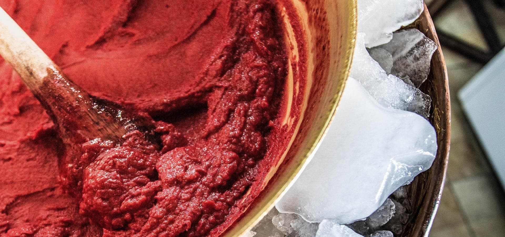
Three stops step outside the church story. El Cuartel, begun in 1907, is an army barracks built to look like a medieval fortress, and since December 2015 a cultural centre with nineteenth-century paintings by Rafael Troya and historical photographs of Ibarra. On Oviedo two parlours carry the name of Rosalía Suárez, whom her family credits with starting helado de paila here in the 1890s. And the walk ends at Santo Domingo, beside the plaza that remembers the Battle of Ibarra of 17 July 1823, the only battle Simón Bolívar directed in person in present-day Ecuador.
Read together, the stops say one thing: Ibarra came back slowly, on a plan, in grey stone and white render, and it is still coming back. Walk it on the White City tour.
Ready to experience it?
White City: The Town That Came Back
75 min · 1.8 km · easy
More from Ibarra
Explore more at your own pace.
Ibarra Travel Guide: How Many Days, Getting There, When to Go (2026)
One Day in Ibarra: A Walkable White-City Itinerary (2026)
What to Eat in Ibarra: A Food Guide (2026)
Paila, Nogadas and Arrope: The Sweet Side of Ibarra's White City Walk
Rosalía Suárez and the Copper Bowl: How Paila Helado Became a Business