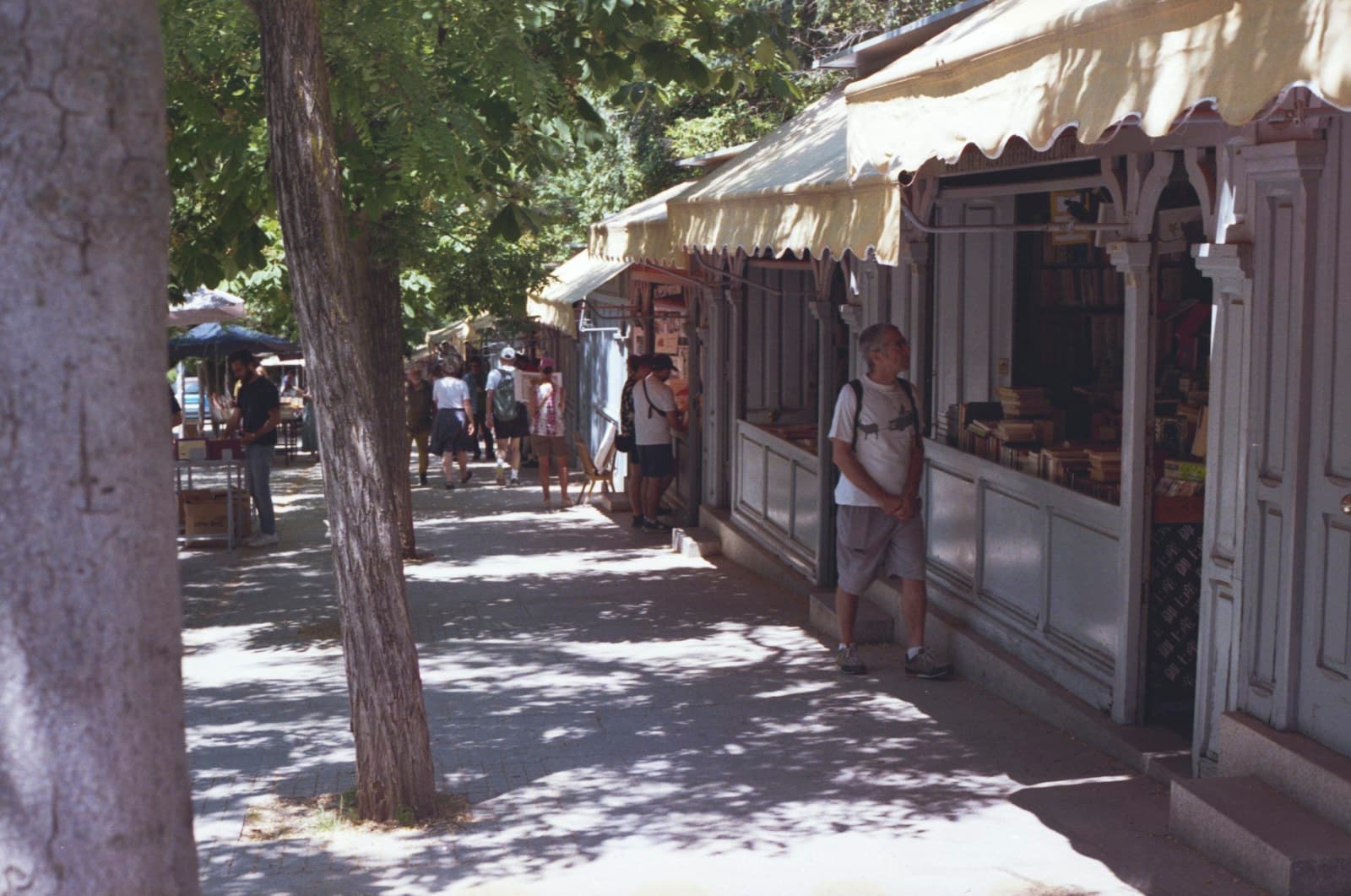
Plaza de Antón Martín is the seam between imperial Madrid and the city outside its walls. South of that line is Lavapiés, the arrabal Madrid built when it became a capital. Four waves of named communities across five centuries, from post-fifteen-sixty-one castellano labour to the post-nineteen-ninety Bangladeshi cluster, with one royal factory and one multiethnic market that hold the whole stack in two buildings.
Start · Plaza de Antón Martín: The Seam Between Two Madrids
DirectionsStops
- 1
Plaza de Antón Martín: The Seam Between Two Madrids
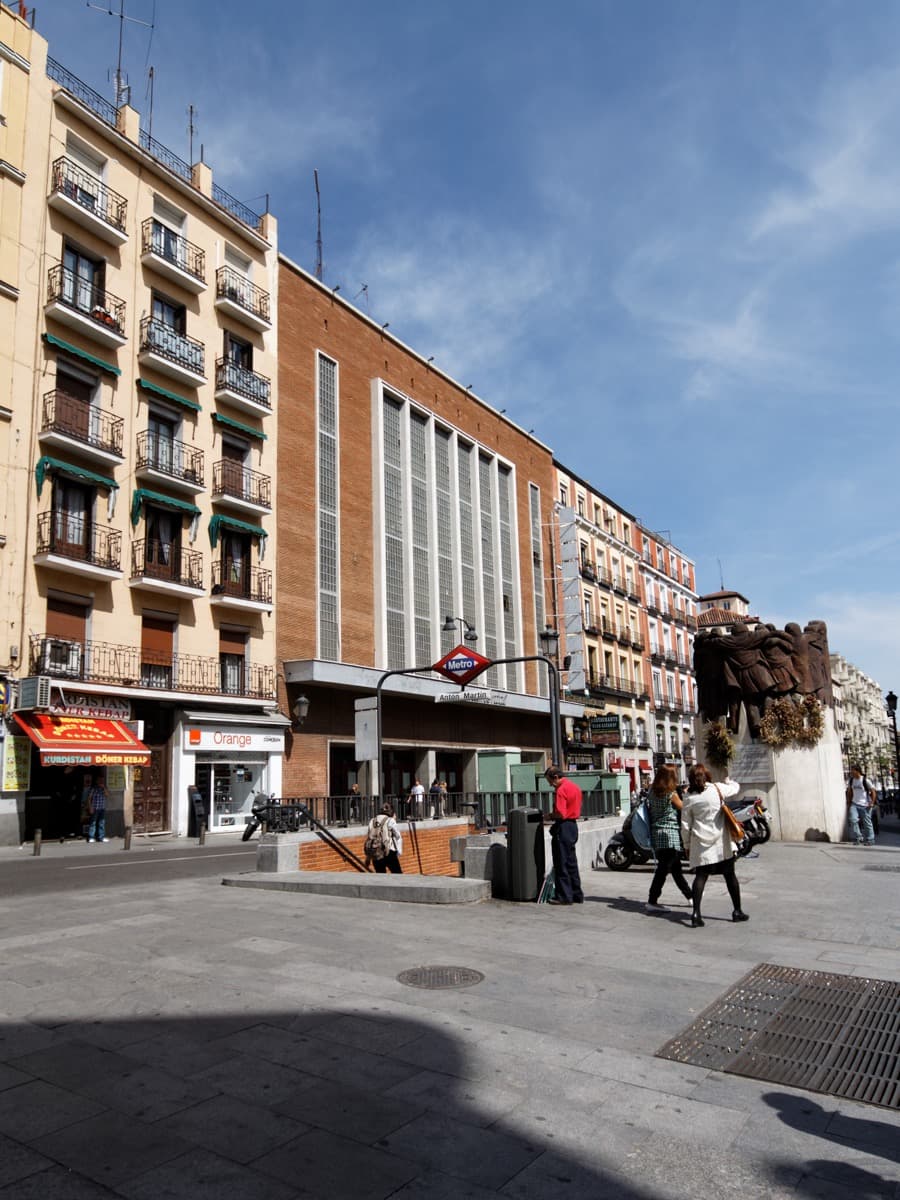
Named for Antón Martín, sixteenth-century religious figure and successor of San Juan de Dios who founded the Hospital de Nuestra Señora del Amor de Dios in fifteen fifty-two. Site of the Motín de Esquilache, twenty-third of March, seventeen sixty-six. The square marks the historic boundary between the walled imperial spine and the arrabal to the south.
- 2
Cine Doré: The Cinema That Became a National Film Archive
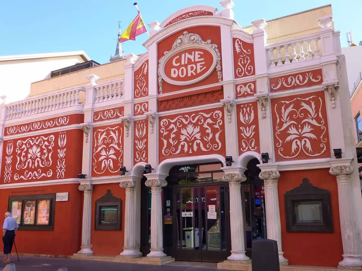
Current building nineteen twenty-three, architect Críspulo Moro Cabeza. The nineteen twelve Salón Doré was a predecessor establishment in a different building. Purchased by the Ayuntamiento in nineteen eighty-two; opened as Filmoteca Española screening venue on the twenty-eighth of February, nineteen eighty-nine.
- 3
Plaza de Lavapiés: The Disputed Name, the Real First Wave
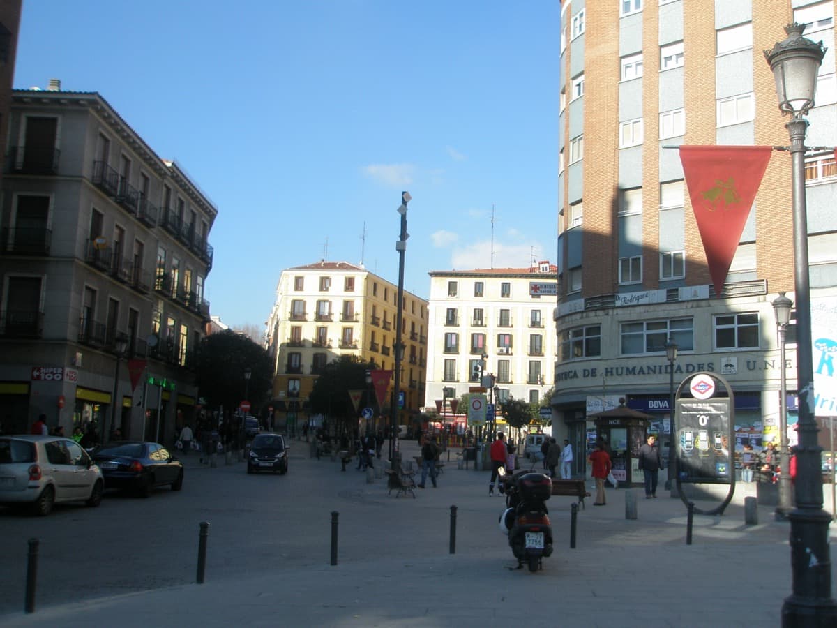
Earliest archival mention as Avapiés is March fourteen ninety-five (Archivo de la Villa, cited by Lorenzo Arribas two thousand and eight, Centro Virtual Cervantes), postdating the fourteen ninety-two expulsion of the Jews from Spain by three years. The actual medieval judería was near the present-day Almudena Cathedral (Montero Vallejo, El Madrid medieval, nineteen eighty-seven). The folk etymology lavar los pies is historically false; ritual foot-washing is Islamic, not Jewish.
- 4
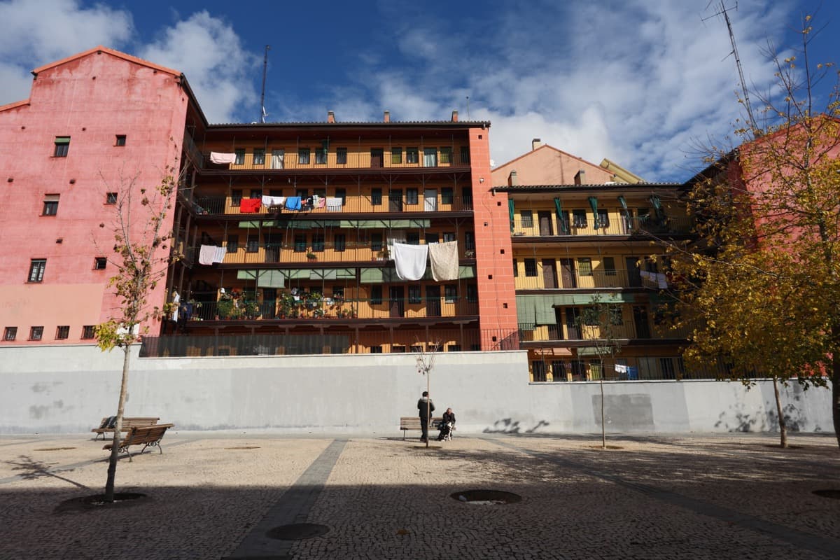
Corrala de Sombrerete: How an Industrial Working Class Lived
Calle Mesón de Paredes eighty-nine and Calle Sombrerete thirteen. Original building eighteen thirty-nine, reform of eighteen seventy-two by the architect José María Mariategui. Declared National Monument in nineteen seventy-seven; restored nineteen seventy-nine. The most cited surviving exemplar of the corrala tenement typology.
- 5
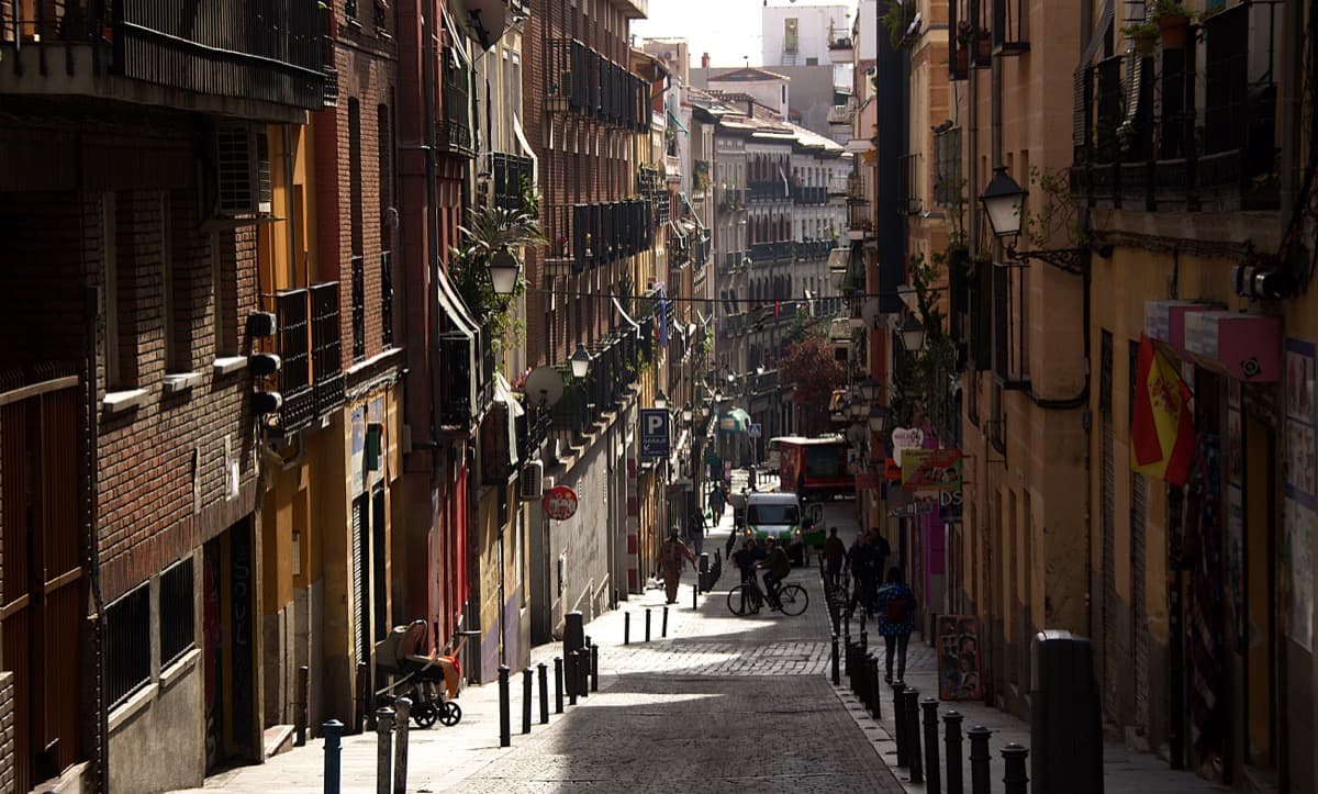
Calle Amparo: The Post-Nineteen-Ninety Bangladeshi Cluster
Calle Amparo and surrounding streets are the spatial core of Madrid's Bangladeshi micro-cluster, ethnographically documented by Cebrián de Miguel and Bodega Fernández at the CSIC. The Valiente Bangla association was founded in two thousand and seven at Calle Provisiones fourteen, following the Ceuta deportation struggle. Embajadores district two thousand and nineteen census: forty-five thousand two hundred and fifty-nine inhabitants, twenty-six percent foreign-origin.
- 6
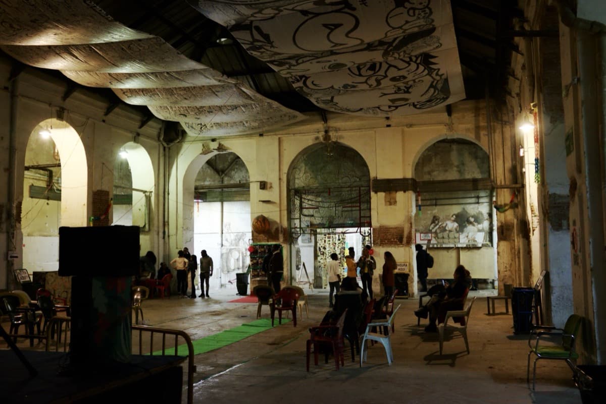
La Tabacalera: One Building, Five Centuries, the Whole Stack
Calle Embajadores fifty-one. Founded as the Real Fábrica de Aguardientes y Naipes on the twenty-fifth of September, seventeen eighty-one by Charles the Third; designed by Manuel de la Ballina; completed seventeen ninety. Converted to tobacco production on the first of April, eighteen oh nine under Joseph Bonaparte with approximately eight hundred workers. Peak workforce of six thousand three hundred cigarreras by eighteen ninety. Production ended nineteen ninety-nine. Ceded to community management in two thousand and ten.
- 7
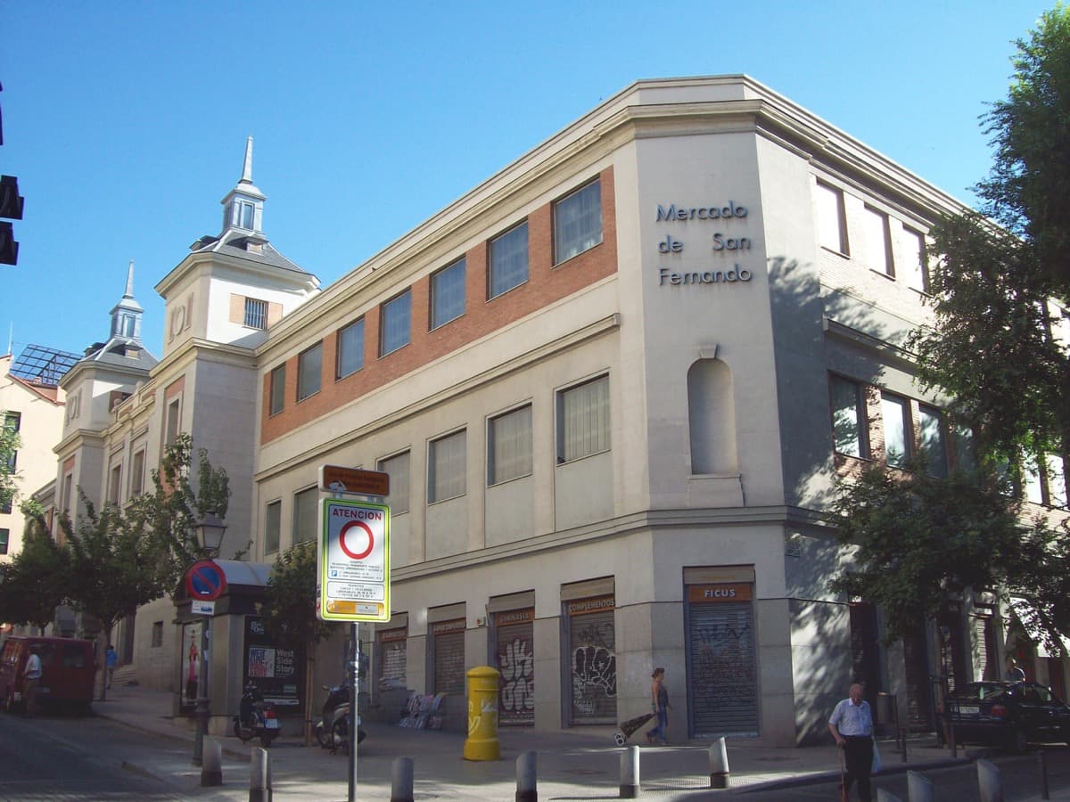
Mercado de San Fernando: The Four-Wave Stack on the Stalls
Calle Embajadores forty-one. Inaugurated nineteen forty-four, architect Casto Fernández-Shaw, winner of the nineteen forty-three design competition. Built on the lot of the Escuelas Pías de San Fernando, destroyed by fire. Today the multiethnic food hall: Senegalese, Latin American, Chinese, and castellano stalls in a single building.
Details
Best Time to Visit
Tuesday through Saturday, late morning into the afternoon. The Mercado de San Fernando at Stop seven is the resolution and runs roughly from nine in the morning to nine at night Monday to Saturday, with reduced trading on Sunday; an eleven o'clock start at Plaza de Antón Martín lets you reach the market with the stalls still well stocked. La Tabacalera at Stop six opens its cultural-centre courtyard and exhibition spaces in the afternoon and evening; the exterior anchor of the audio works at any hour, but interior visits are afternoon onward. Avoid August Sunday mornings and Sunday afternoons when most of the neighborhood is at El Rastro, which is not on this route.
Pro Tips
- •Plaza de Lavapiés at Stop three is the cognitive centre of the tour and the moment the Sephardic-judería myth is reframed against the institutional record. The myth is in many guidebooks and still on some tourist signage. The reframe is not a debunk for its own sake; it is the way the actual four-wave history becomes visible. If you arrive at the plaza expecting the medieval Jewish quarter, the audio at this stop will tell you what the historians Manuel Montero Vallejo and José Miguel Lorenzo Arribas have actually established, and what the post-fifteen-sixty-one castellano first wave actually was.
- •La Tabacalera at Stop six runs two operations under one roof. The northern half is Tabacalera Promoción del Arte, run by the Ministerio de Cultura, with curated exhibitions on a museum schedule. The southern half is the self-managed Centro Social Autogestionado La Tabacalera, with a different programme of assemblies, concerts, art, and community workshops. Both are open to visitors. Check the current programme at promociondelarte.cultura.gob.es for the Ministerio side and at latabacalera.net for the community-managed side. The audio anchors on the exterior; interior visits are an extra thirty to sixty minutes if you have time.
- •The Mercado de San Fernando at Stop seven is the resolution and is best read in person. Walk the perimeter once, then the central aisle. The market has a small number of sit-down counters where you can eat in. The audio narrates the four-wave stack on the stalls as the closing argument, but the closing argument lands harder if you stay an extra fifteen minutes to drink a coffee and look.
- •Cine Doré at Stop two is a working cinema. The Filmoteca Española screens films across two halls daily, with tickets typically at five euros and concession discounts. If your walk day overlaps with a film you want to see, the audio anchors on the facade and a later return for a screening is a different experience. The Filmoteca calendar is at cultura.gob.es under Filmoteca Española.
- •The Corrala de Sombrerete at Stop four is private residential. Stand on the opposite pavement to read the building front. Do not enter the courtyard; residents live above the galleries and the courtyard is a private domestic space. The audio reads the typology from the street.
- •Calle Amparo and Calle Provisiones at Stop five are a working commercial cluster, not a heritage display. The bakeries, halal butchers, sari shops, and call centres are open businesses. If you want to buy something, the locutorios will take cash for international calls, the bakeries sell Bengali sweets by the piece, and the grocers stock spices you will not find in the central Mercado de la Cebada.
- •The walking distance from Plaza de Antón Martín at Stop one to the Mercado de San Fernando at Stop seven is about two kilometers, with the streets descending gradually from the top of the neighborhood to the southern flank. The route is mostly flat with one slight downhill from Plaza de Lavapiés to Embajadores. Total walking time without stops is roughly thirty minutes; with the audio at each stop, plan ninety to one hundred and twenty minutes.
Safety & Precautions
- •Lavapiés is a working multiethnic neighborhood with a documented immigrant community. The stops are public space and welcoming to visitors. Use the same respect you would use in any neighborhood that is also someone's home: keep noise down on residential streets, do not photograph people without permission, and step aside on narrow pavements when residents need to pass.
- •The Corrala de Sombrerete at Stop four is private housing. The galleries you can see from the street are residential. Do not enter the courtyard. The audio reads the building from the opposite pavement; that is the correct viewing position.
- •Calle Mesón de Paredes between Plaza de Lavapiés and the corrala is sometimes used by independent street vendors. The area is safe in daylight and well populated. As in any dense urban neighborhood, keep valuables in interior pockets and stay aware of your surroundings, especially on the narrower side streets after dark.
- •La Tabacalera at Stop six is a large complex with separate Ministerio and community-managed entrances. If the main southern gate is closed, the entry that day may be at a different point on the facade; check the posted schedule. The audio anchor works from the pavement regardless.
- •Madrid summers are hot and exposed. The walk has limited shade between Plaza de Lavapiés and the Tabacalera. In July and August, walk early or after seven in the evening, and carry water. The Mercado de San Fernando at Stop seven is air-conditioned and a useful midwalk rest in summer heat.
- •The Mercado de San Fernando is a working market. The central aisle is narrow and busy with shopping carts and stall traffic. Step out of the aisle to listen to the audio at Stop seven so you are not blocking shoppers.
- •The Sunday morning Rastro flea market on Calle Ribera de Curtidores is two blocks west of this route and pulls heavy foot traffic across the southern stops on Sunday before two in the afternoon. If you want a quieter walk, choose a weekday or Saturday. If you want El Rastro, finish the Lavapiés tour first and walk west on Calle Embajadores; the Rastro is its own separate experience.
Travel advisory: Exercise Increased Caution (Level 2).
Gallery
Related Reading
Go deeper on what you'll see, hear, and walk through.
Overview
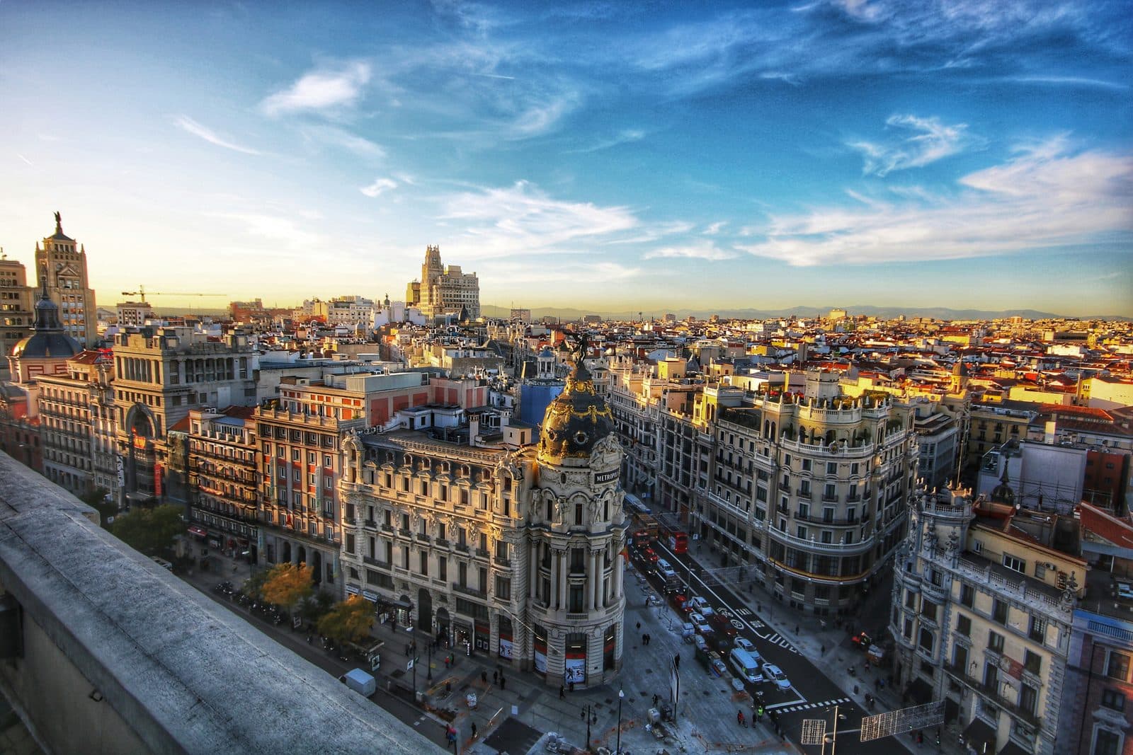
Best Self-Guided Walking Tours in Madrid (2026)
4 min
Overview
Madrid Travel Guide: How Many Days, Getting Around, When to Go (2026)
5 min
Overview
One Day in Madrid: A Walkable Center-to-Prado Itinerary (2026)
6 min
Thematic
Best Culture Walking Tours in Madrid (2026)
2 min
Thematic
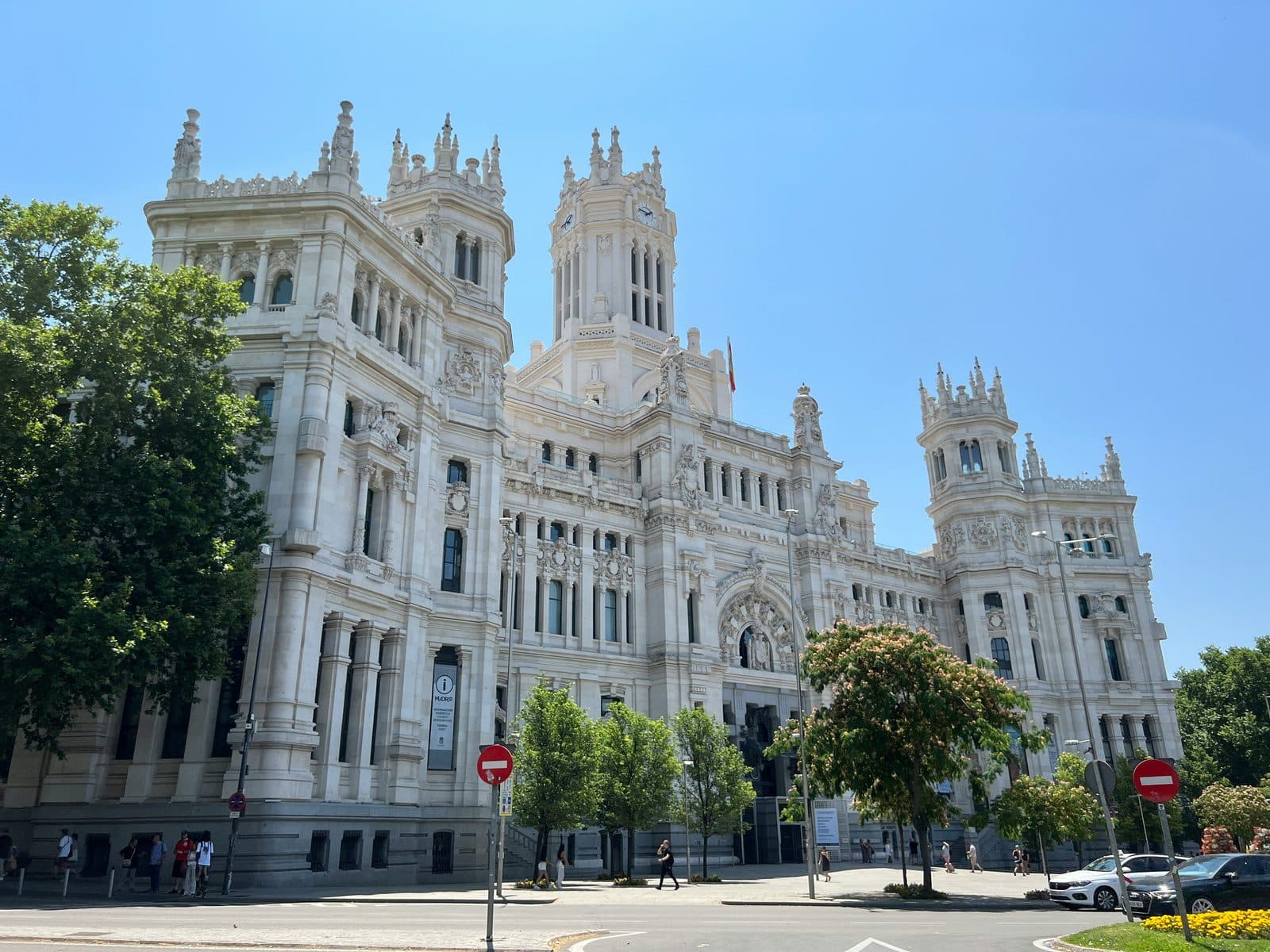
Capital by Decree: Why Madrid Is the Capital of Spain
5 min
Thematic
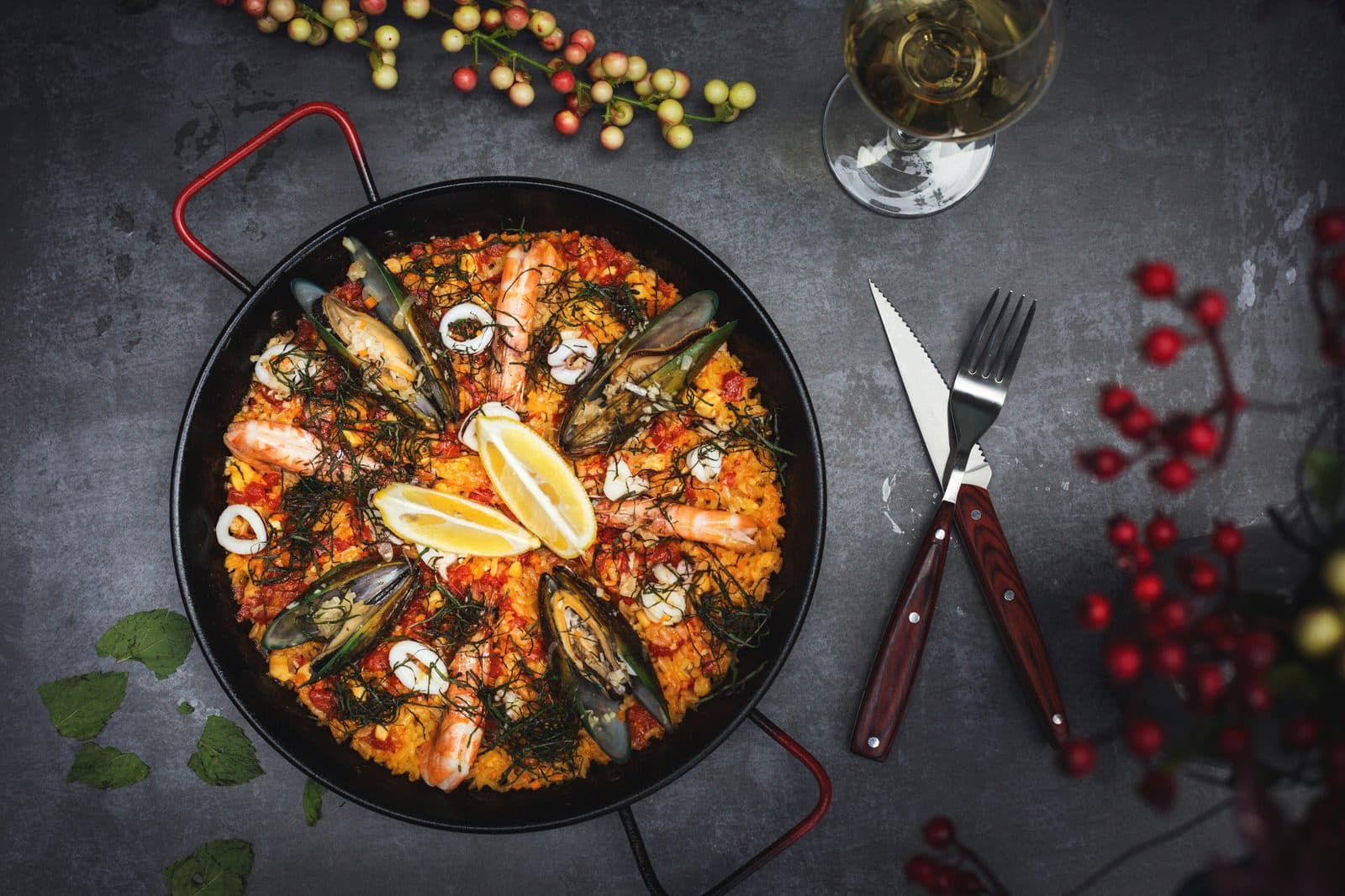
Eating Through Lavapiés: A Neighborhood You Can Taste in Layers
4 min
Thematic
What to Eat in Madrid: A Food Guide (2026)
5 min
Companion
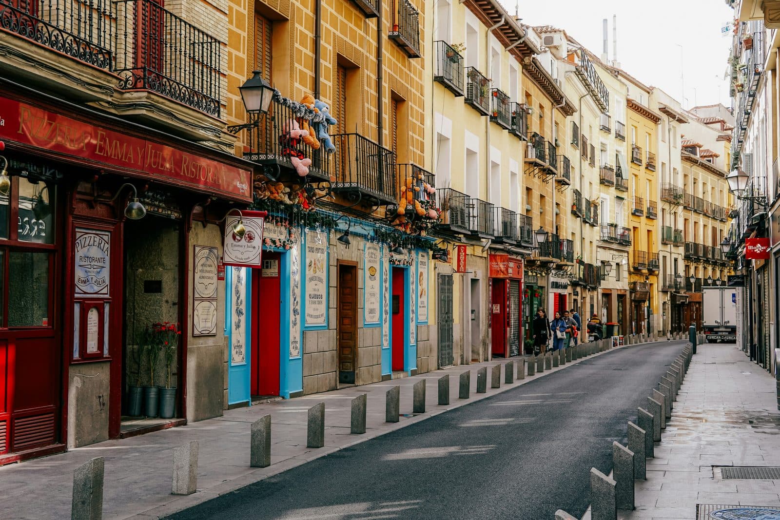
Lavapiés: The Neighborhood Madrid Built When It Became a Capital
5 min
Read the walk
The full story of Lavapiés: Five Centuries of Madrid's Outside-In Neighborhood, in words. Prefer to listen? Play it narrated, from home or on location.
Introduction
Plaza de Antón Martín is a seam. North of it, Madrid is the imperial city. Plaza Mayor, Puerta del Sol, Calle Mayor, the Palacio Real. Habsburg power, then Bourbon power, all the way down Calle Atocha. South of it, Madrid is something else.
South of that line is Lavapiés, the arrabal Madrid built when it became a capital in fifteen sixty-one. The thesis is that Lavapiés is the documentary record of how a capital city imports the people it needs. Four waves of named communities across five centuries. Post-fifteen-sixty-one castellano labour. Nineteenth-century industrial proletariat housed in corralas around the royal tobacco factory. Post-nineteen-ninety multiethnic migration anchored by the Bangladeshi cluster around Calle Amparo. And the contemporary gentrifying layer.
There is one famous old story you may have arrived with: that Plaza de Lavapiés was the medieval Jewish quarter, that the name means wash-feet-before-entering-the-synagogue. The Instituto Cervantes published the rejection in two thousand and eight. The earliest archival mention of Avapiés is March fourteen ninety-five, three years after the fourteen ninety-two expulsion. The actual medieval judería was near the present-day Almudena Cathedral. Naming that invention is the way this tour begins.
The walk is seven stops, about two kilometres, and roughly ninety minutes, south from Antón Martín down to the multiethnic market at Embajadores forty-one. Cine Doré, Plaza de Lavapiés, Corrala de Sombrerete, Calle Amparo, La Tabacalera, and the Mercado de San Fernando. When you arrive at Plaza de Antón Martín, begin with stop one.
1. Plaza de Antón Martín: The Seam Between Two Madrids
You've arrived at Plaza de Antón Martín. Stand in the centre of the plaza, near the metro entrance, and turn south. The street on your right is Calle Santa Isabel. The street on your left is Calle Lavapiés. Everything south of where you are standing is the neighborhood the next two kilometers will walk through.
The plaza is named for Antón Martín, a sixteenth-century religious figure who succeeded San Juan de Dios at the head of the Hospitaller order in Spain. He founded the Hospital de Nuestra Señora del Amor de Dios on this site in fifteen fifty-two. The hospital is gone. The name stayed. By the late eighteenth century, this square was already the recognised threshold between the walled imperial city and the arrabal that grew south of it.
The documentary event the plaza is most associated with happened on the twenty-third of March, seventeen sixty-six. The Motín de Esquilache erupted here. The pretext was a royal edict by the Marqués de Esquilache, chief minister of Charles the Third, banning long capes and broad-brimmed hats on the grounds that they concealed weapons. The real grievances were bread prices and foreign ministers. The riot ran for days, and Esquilache was dismissed. The square at the seam was where the imperial reform government met the labour it had imported and could not control.
At the south end of the plaza, the bronze sculpture of an embracing pair is El Abrazo, a memorial to the assassination of five members of a labour-rights legal office, three lawyers, one law student, and one administrator, in their Atocha office on the twenty-fourth of January, nineteen seventy-seven, by three far-right gunmen during the transition after Franco.
Now walk south on Calle Santa Isabel about two hundred meters. The modernist tile facade on your left is the next stop.
2. Cine Doré: The Cinema That Became a National Film Archive
You've arrived at Cine Doré on Calle Santa Isabel three. Stand on the pavement across the street and look at the facade. The pale modernist front with the ornamental tile, the curved upper cornice, and the gold lettering above the entrance is one of the most photographed twentieth-century artifacts in Lavapiés. It is also one of the most-misdated buildings in the neighborhood.
The official history page published by Filmoteca Española at cultura.gob.es is the source for the dates. The current building, the one you are looking at, was completed in nineteen twenty-three to a design by the architect Críspulo Moro Cabeza. A predecessor establishment, the Salón Doré, opened on this approximate site in nineteen twelve, but the nineteen twelve venue was a different building. Guidebooks that print nineteen twelve as the building date are collapsing the venue with the structure. The structure is nineteen twenty-three.
The building's second life is what makes it a Lavapiés stop. The cinema closed as a commercial venue in the nineteen seventies. The Ayuntamiento purchased the property in nineteen eighty-two. After restoration, the building reopened as the official screening venue of the Filmoteca Española on the twenty-eighth of February, nineteen eighty-nine. The Filmoteca is the national film archive of Spain.
The inscription that matters at this stop is the post-Franco municipal-cultural turn. A neighborhood that the imperial city had built outside its wall received, in nineteen eighty-nine, a state cultural institution. Lavapiés was no longer only a working-class barrio. It was also a place the state chose to put its film archive.
Now walk south on Calle Santa Isabel another two hundred meters. Where the street opens into a small triangular plaza with a theatre at the south end, you are at the next stop.
3. Plaza de Lavapiés: The Disputed Name, the Real First Wave
You've arrived at Plaza de Lavapiés, the centre of the neighborhood. Stand near the bus stop in the middle of the triangle. The Teatro Valle-Inclán closes the south end. Calle Argumosa runs east. Calle Ave María runs north.
This is the moment to name what the tour is doing.
You may have read that this plaza was the medieval Jewish quarter of Madrid. That the name means lavar los pies, wash feet before entering the synagogue. The historians say no. Here is how the myth got made.
In nineteen eighty-seven the historian Manuel Montero Vallejo, a member of the Instituto de Estudios Madrileños, published El Madrid medieval. Montero Vallejo located the actual medieval judería near the present-day Almudena Cathedral, three kilometers northwest of where you stand. In two thousand and eight, the medievalist José Miguel Lorenzo Arribas, writing in El Rinconete at the Centro Virtual Cervantes, set out the archival record. The earliest documented mention of Avapiés is March fourteen ninety-five, in the Archivo de la Villa. That date is three years after the Catholic Monarchs expelled the Jews from Spain in fourteen ninety-two. The Jewish community of medieval Madrid lived elsewhere.
The chain of invention is traceable. Antonio Capmany y Montpalau, in his early-nineteenth-century Las Calles de Madrid, was the locatable propagator of the claim. Twentieth-century tourism copy inherited it from Capmany. And the folk etymology is wrong on its own terms. Ritual foot-washing, the practice of wudu, is Islamic, not Jewish.
What the archival record does support is more interesting. When Philip the Second made Madrid the capital of the Spanish empire on the sixth of June, fifteen sixty-one, the city built outward fast. The arrabal south of the wall is what became Lavapiés. The people who lived here were coach makers, brewers, and eventually tobacco workers, drawn from Castile to serve the new capital. That is the real first wave: post-fifteen-sixty-one castellano labour, in service of an empire whose institutional centre sat one kilometer north of where you stand.
Walk south on Calle Mesón de Paredes about three hundred meters. Where Calle Sombrerete crosses on your left, the long brick facade with open wooden galleries is the next stop.
4. Corrala de Sombrerete: How an Industrial Working Class Lived
You've arrived at the Corrala de Sombrerete, on the corner of Calle Mesón de Paredes eighty-nine and Calle Sombrerete thirteen. Stand on the opposite pavement so you can see the whole front. What you are looking at is a four-storey brick tenement with open wooden galleries…
Full narration for this stop unlocks with the tour.
5. Calle Amparo: The Post-Nineteen-Ninety Bangladeshi Cluster
You've arrived on Calle Amparo. Stand on the pavement and look at the signage. The bakery on your right has Bengali script above the door. The locutorio across the street offers calls to Dhaka. The grocer next to it sells halal meat. The next storefront is a sari shop. The…
Full narration for this stop unlocks with the tour.
6. La Tabacalera: One Building, Five Centuries, the Whole Stack
You've arrived at La Tabacalera, Calle Embajadores fifty-one. This is the climax of the walk. Stand on the pavement opposite the facade. The building runs almost a full block. The stone arched entry, the regular row of windows, the chimneys behind the parapet are all original to…
Full narration for this stop unlocks with the tour.
7. Mercado de San Fernando: The Four-Wave Stack on the Stalls
You've arrived at the Mercado de San Fernando, Calle Embajadores forty-one. This is the resolution of the walk. Step inside. Stand near the central aisle. The market opened in nineteen forty-four. The architect was Casto Fernández-Shaw, who won the design competition in…
Full narration for this stop unlocks with the tour.