Montreal's RÉSO is the largest pedestrian subway network in the world, more than thirty-two kilometres of climate-controlled corridors, certified by Guinness World Records as of November 2023. The single most important fact about it is that nobody designed it as a network. It accreted, one rational basement at a time, and the best way to understand it is to walk it and read that accretion the way its planners did.
The basement that started it: Place Ville Marie
Start where the network did, in the cruciform concourse under Place Ville Marie. The tower above, a cross-shaped skyscraper 188 metres tall, was designed by Henry N. Cobb of I. M. Pei and Partners for the American developer William Zeckendorf, with design starting in 1958 and the building opening in 1962. Nearly half of Place Ville Marie's floor area sits below grade, and the cruciform plan was not decoration, it was a daylight-and-wayfinding strategy for that enormous basement: four corridors meeting at a center is the longest legible diagonal a person can walk underground without losing their bearings.
When the concourse opened in 1962, it was a single building's amenity. There was no plan to connect it to anything. That is the crucial detail. The network did not begin as a network.
Vincent Ponte and the chain reaction
Hear a stop from this walk
Beaver Lake: A Lake Made in the Depression
The person who saw the possibility was Vincent Ponte, a Boston-born, Harvard-trained urban designer working inside Pei's office on the master plan. Ponte was not a building architect; he was a connector of buildings. He knew a tunnel to Central Station sat a hundred metres south and waiting. Link the basement to the station, then the station to the next tower, then that tower to the Métro when it opened in 1966, and each individually sensible connection compounds. His fonds at McGill Library is the primary archive of what happened next. A commemorative plaque to Ponte was unveiled at Place Ville Marie in 2006.
You can follow the chain on foot in the order it actually grew: Place Ville Marie, then Central Station (Gare Centrale), then Place Bonaventure, then the Métro connection at McGill, then outward to Eaton Centre, Place des Arts and the Quartier des Spectacles. Each building is one link. Walking them in sequence, you are walking the network's actual construction logic rather than a designed masterplan, because there was no masterplan.
Why Montreal built downward
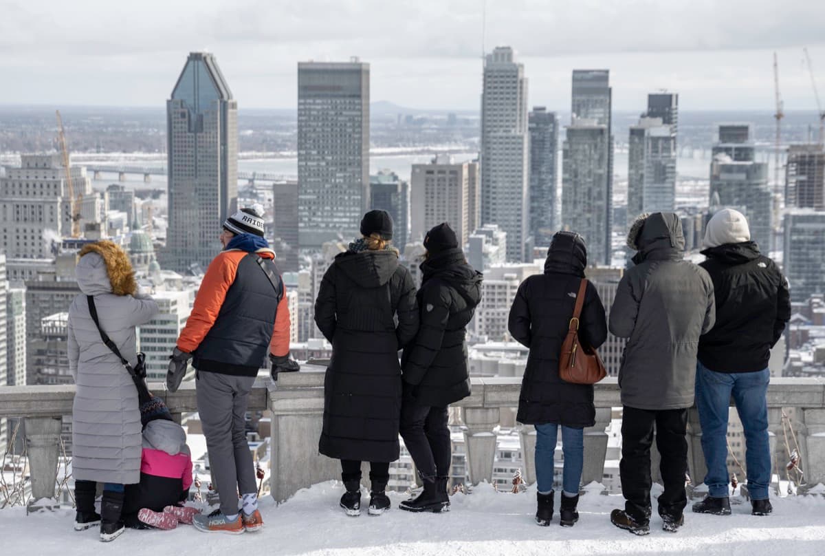
The engine underneath all of it is climate. Montreal winters make a covered, heated, weatherproof pedestrian realm enormously valuable, and once the first few links proved that value, every new downtown development had a commercial incentive to connect. The RÉSO is what happens when a cold city discovers, by accident, that it can annex a second downtown below the first one. It is the same civic instinct visible on the mountain, where the city refused to build above its ceiling: here it chose to build below the floor instead. That height rule is the subject of our Mount Royal companion.
Reading the seams
The pleasure of walking it is that the seams between eras are visible if you know to look. The 1962 Place Ville Marie concourse feels different from the 1967-era Place Bonaventure, which feels different again from the modern Quartier des Spectacles connections. You are not walking a single designed interior. You are walking sixty years of separate projects that were persuaded, one at a time, to hold hands underground.
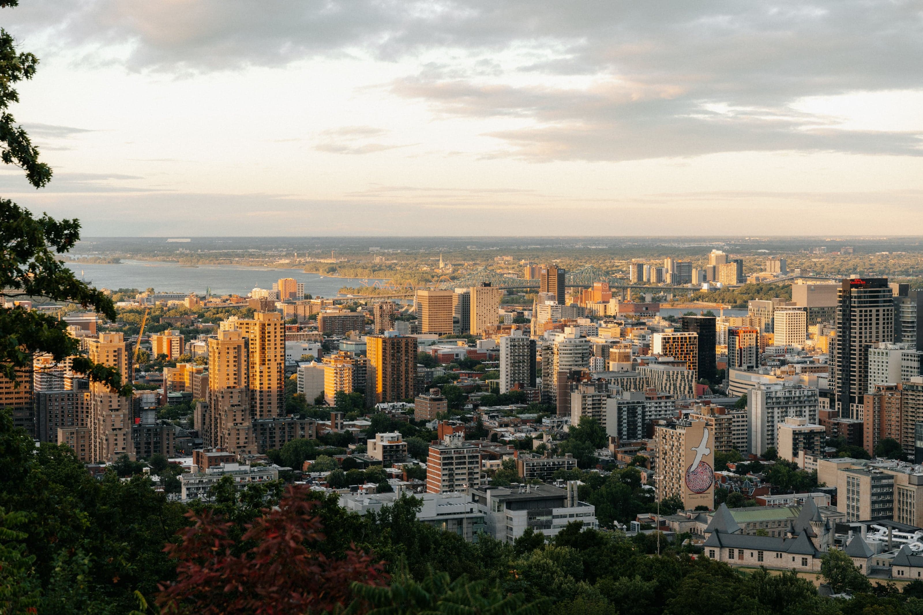
The standout object in the network is Place Ville Marie itself, the accidental origin of everything. We give it a full piece of its own in Place Ville Marie: the basement that grew a city. And to understand where this corporate, Anglophone, west-of-the-Main Montreal sits in the larger city, read how to read Montreal along the Main. To see the downtown the RÉSO runs beneath from above, climb to the Kondiaronk lookout on our Mount Royal walk, and for the city's other self-guided routes see the best walking tours in Montreal overview.
Ready to experience it?
Mount Royal: Lookouts, the Cross and Beaver Lake
90 min · 3.4 km · moderate
More from Montreal
Explore more at your own pace.
The Deli and the Bagel: Mile End's Jewish Food Map
The Future That Bankrupted the City: Reading Montreal's Olympic Park
Richler's Mile End: Moe's Cigar Store and the Bagel Ovens
The City with a Ceiling: A Companion to the Mount Royal Walk
Notre-Dame Basilica: One Church, Two Architects, Fifty Years Apart