Chapultepec comes from Nahuatl and means roughly hill of the grasshopper. An INAH archaeologist says the Mexica named it in 1428, right after beating the Tepanecs. The hill is an extinct volcano, one of the first cones of the Basin of Mexico, and a castle built in the 1780s sits on top.
Chapultepec means, roughly, the hill of the grasshopper. The name is Nahuatl, from Chapoltepec. An INAH archaeologist says the Mexica gave the hill that name in 1428, as soon as they had beaten their rivals, the Tepanecs. People were on the hill long before them, so the name marks a change of owners, not a first settlement.
A volcano, not a mound
The Grasshopper Hill is an extinct volcano. According to INAH's archaeologist, it is one of the first cones of the Basin of Mexico and formed over a span from about 23 million years ago to about 5 million years ago. We found no independent geology source for those dates, so treat them as INAH's account. Later the valley closed and lakes formed, and the hill ended up on the shore of one of them, Lake Texcoco.
Water at the foot
Hear a stop from this walk
Altar a la Patria: Where Reforma Ends
INAH reports the remains of a pier and a canal for canoes at the hill, from the Late Postclassic period (1200 to 1521). A rescue dig in 2014 found evidence of a prehistoric lake at its foot. The Mexica said they were the first inhabitants, but INAH says the site was settled earlier, by the Tepanecs and by villages tied to Teotihuacan, with traces going back to the Preclassic.
The castle on top
The castle belongs to a much later chapter. INAH dates it to 1785 to 1787, as a country house for a viceroy named Gálvez. It later served as a military academy, the home of Maximilian and Carlota, and a palace for presidents. It became the Museo Nacional de Historia in 1944 and is listed as the highest point of the park. Its elevation is quoted differently in different places, so we say only roughly 2,300 metres. This article is about the hill and the building from outside; the museum inside is a separate visit with its own ticket.
What is still on the slopes
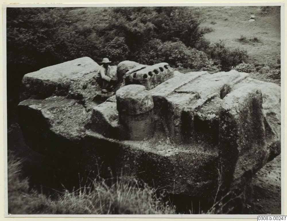
INAH says fragments of the stone portrait of Moctezuma Xocoyotzin are still visible on the hill's slopes. We could not confirm where or whether visitors can see them, so we do not point you to a spot. The park's small Museo de Sitio, in the restored old gate of the Military College, covers the hill's history in four periods. It is listed as free, Tuesday to Sunday, 10:00 to 17:00. Check before you go.
Hearing it on the walk
On the Roamer walk this is the second stop, with the hill rising in front of you. Go at your own pace, with no group, and skip anything you do not want. You can start the Chapultepec audio tour here: the Chapultepec Park audio tour. For the full layout of the park, see the Chapultepec Park guide.
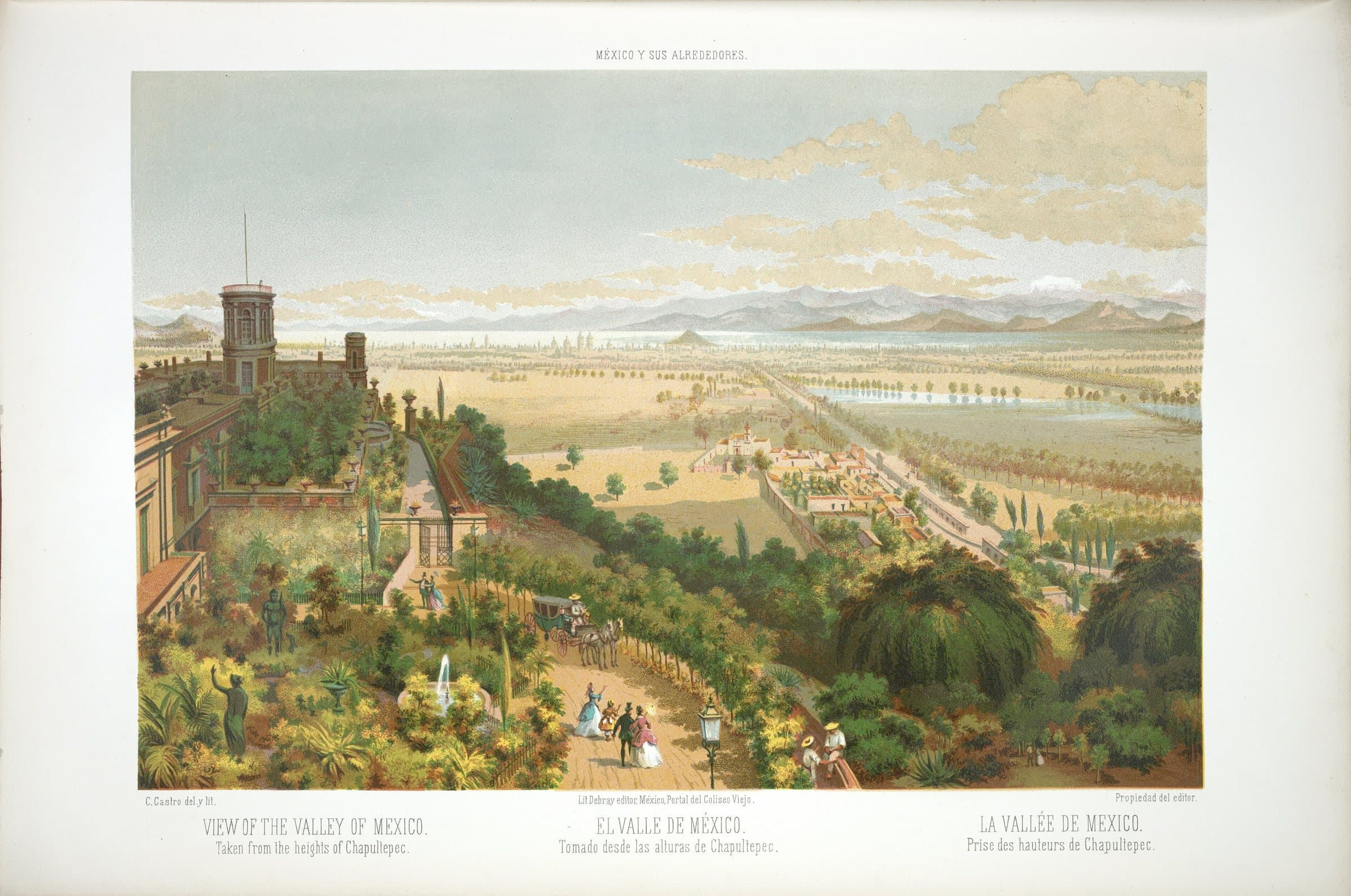
Cover: "The Valley of Mexico from Chapultepec" (1850), lithograph by Casimiro Castro, public domain, via Wikimedia Commons.
Mexico eSIM· 10% off with ROAMER10
Ready to experience it?
Chapultepec Park: The Hill, the Springs and the Great Oval
120 min · 4.1 km · easy
More from Mexico City
Explore more at your own pace.

Mexico City Travel Guide: How Many Days, Getting Around, When to Go, Is It Safe
One Day in Mexico City: A Perfect Itinerary on Foot

Chapultepec Park Guide: Hill, Lakes and Museum Row
El Sargento: The Dead Ahuehuete Tree of Chapultepec
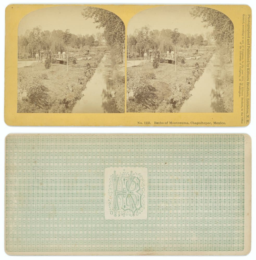
The Baños de Moctezuma: The Bath That Was Never Moctezuma's