The River Chicago Sent the Other Way
Chicago reversed the flow of its own river on January 2, 1900, to keep its drinking water clean. The bank you walk on is what that reversal made possible. Eight stops, two and a half kilometres, a century of architecture on top of one engineering act.
4.69|55 minutes|1.75 km|8 Stops
Start
DuSable Bridge: The Water Below Is Flowing West
1
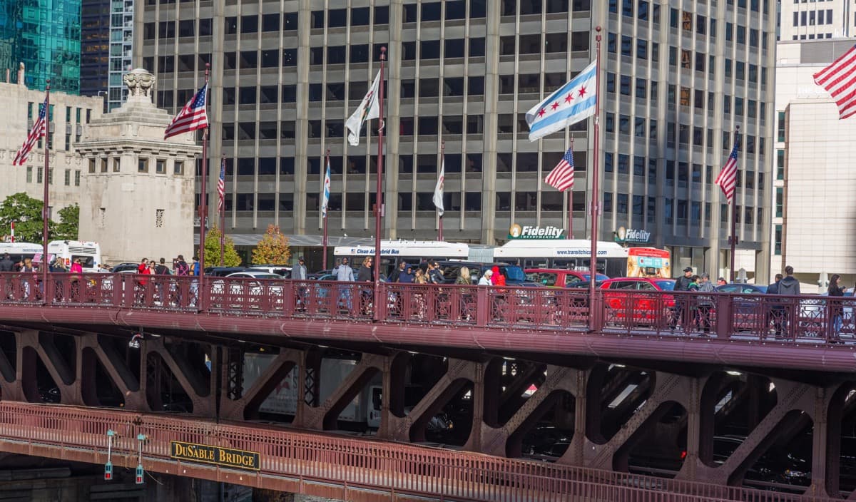
DuSable Bridge: The Water Below Is Flowing West
The south bridgehead of the 1920 trunnion bascule that opened the river edge to the architectural century. The cold-open reveal: the water moves west on purpose.
2
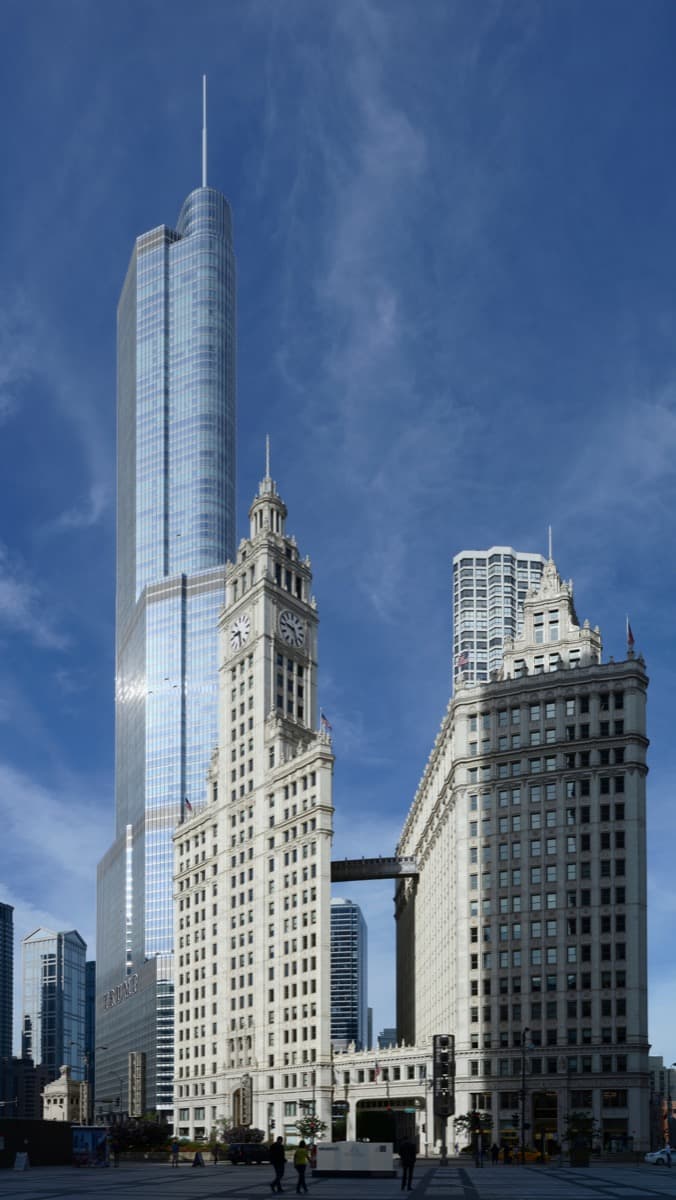
Wrigley Building: The First Answer on the Bank
Graham, Anderson, Probst and White, south tower 1921 and north tower 1924. The terra cotta cladding that set the corridor's first material grammar.
3
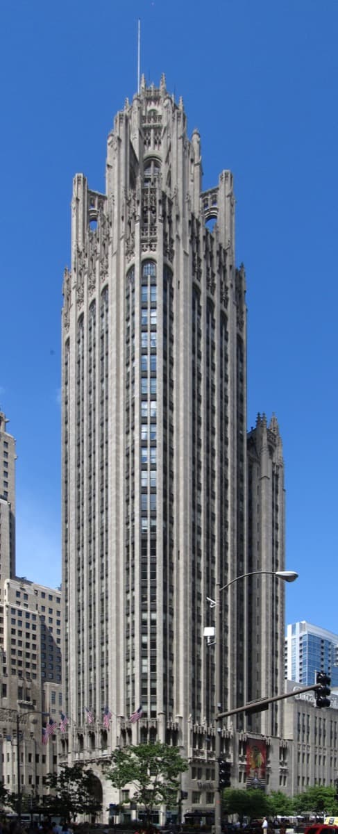
Tribune Tower: The Same Bank, the Other Answer
Howells and Hood, 1925. Neo-Gothic stone with a Rouen Cathedral crown, the building that confirmed the bridgehead as a national architectural stage.
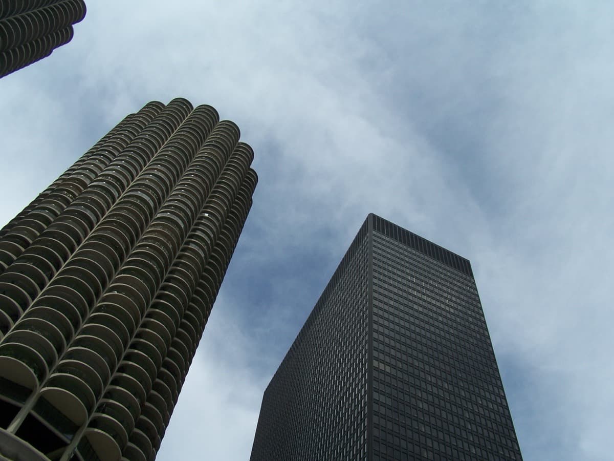
4
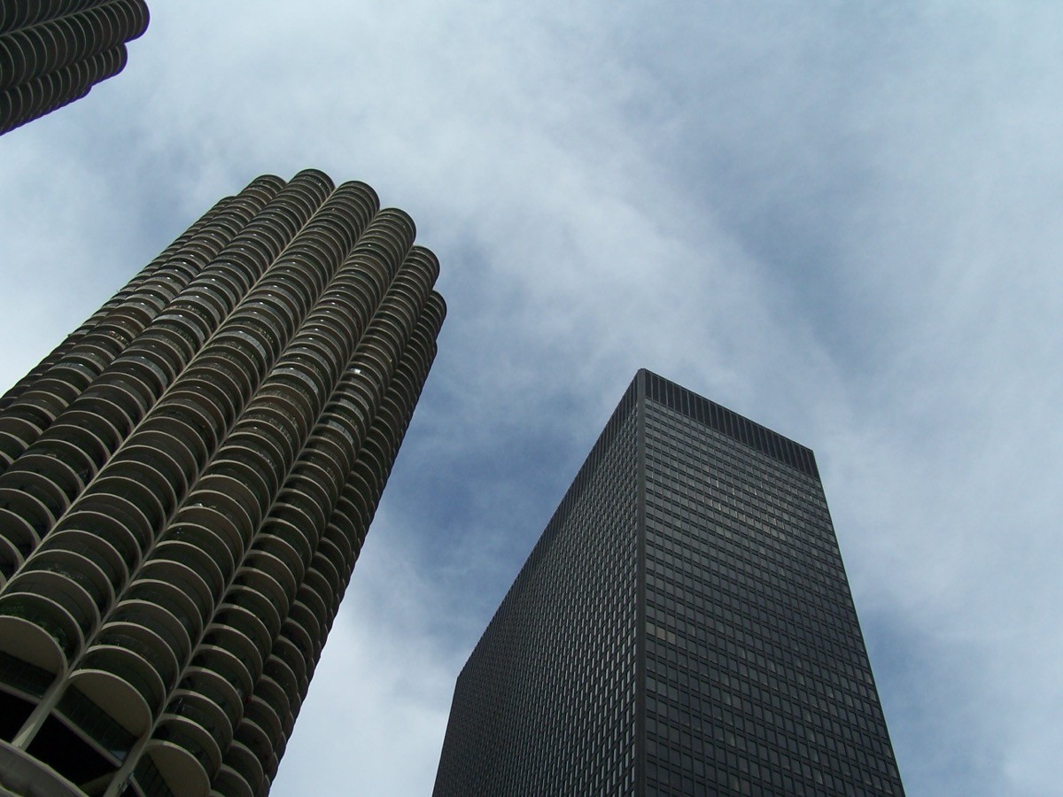
Marina City and IBM: The Corridor's Strongest Pair
Goldberg's 1968 reinforced-concrete cylinders and Mies's 1972 steel-frame slab, visible from one vantage. Two opposite structural systems on the same bank.
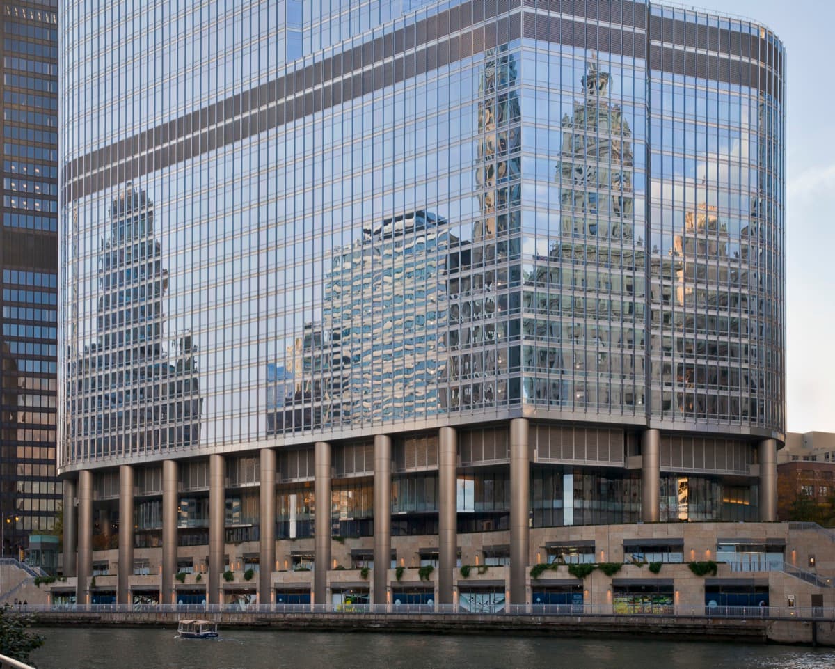
5
Trump Tower: The Exception That Breaks the Grammar
Adrian Smith of SOM, opened January 2009. The corridor's tallest building, on its most contested address, with three setbacks calibrated to three different neighbours.
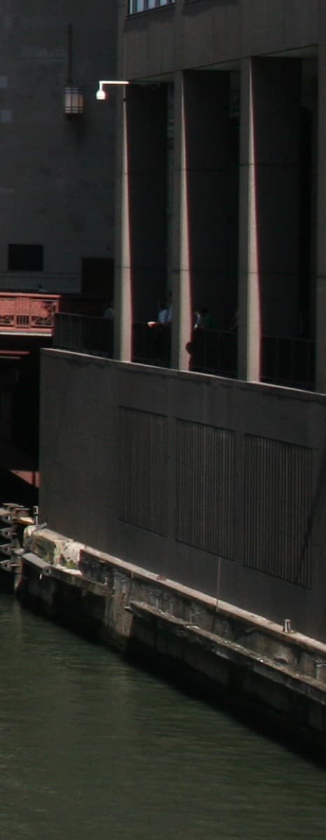
6
The Riverwalk Itself: You Are Standing on the Engineering
Sasaki Associates with Ross Barney Architects, Phases 2 and 3, completed 2015 to 2016. Six engineered rooms on a sliver of bank between Wacker Drive and the water.
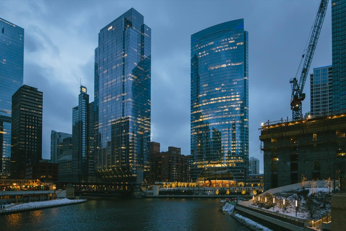
7
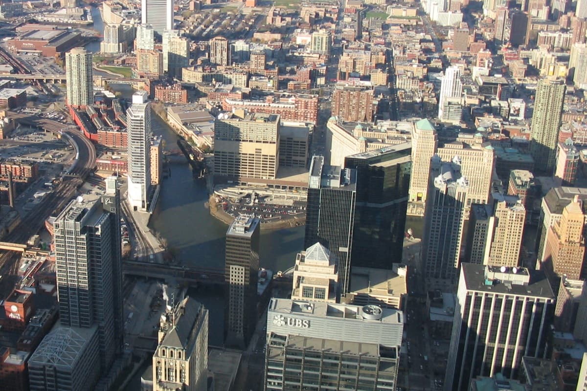
150 North Riverside: The Synthesis on the Hardest Site
Goettsch Partners with Magnusson Klemencic Associates, completed 2017. The cantilevered base over active rail lines, the climax specimen of the corridor's engineering vocabulary.
8
Wolf Point: Two Answers to the Same Bend
333 West Wacker (William Pedersen of Kohn Pedersen Fox, 1983) and River Point (Pickard Chilton, 2017) at the confluence of the North and South Branches. Thirty-four years apart, the same constraint, two different answers.
Best Time to Visit
Late morning to mid-afternoon, when the south-bank Riverwalk gets direct sunlight on the north-bank buildings; the terra cotta of the Wrigley, the limestone of Tribune Tower, the green glass of three hundred and thirty-three West Wacker, and the bronze of the contemporary towers all read most legibly in side light. Summer and shoulder seasons see the Riverwalk at its busiest; winter the corridor is colder and quieter and the bare deciduous trees open up the building sightlines. The river current is most visible to the eye in spring and after heavy rain when the controlling works push more water through. The Chicago Architecture Center river cruises run from spring through fall and can be paired with this walk; the cruise reads the buildings from the water, this walk reads the river and the bank from the bank.
Pro Tips
- •The cold-open reveal at Stop 1 depends on actually seeing the river move. The current is usually visible on the surface, especially near the bridge piers; rain, wind, and the controlling-works flow rate at Lockport change how strong the visible movement is on a given day. If the surface looks flat, watch a leaf or a piece of debris for a few seconds.
- •Stops 2 and 3 (the Wrigley and Tribune Tower) are both viewable from the south end of the bridge without leaving the bridgehead. The Riverwalk west of the bridge gives a cleaner sightline to both buildings together.
- •Stop 4 (Marina City and the IBM Building) reads best from the south-bank Riverwalk near the Wabash Avenue Bridge undercrossing. Marina City's parking spiral is visible from the lower Riverwalk; the IBM Building's plaza setback is more legible from the upper level.
- •Stop 6 (the River Theater) is the stepped amphitheater on the Riverwalk between Clark and LaSalle. The lower tier puts you at water level and lets you see the bridge undercrossings; the upper tier gives a longer sightline back to the bridgehead.
- •Stop 7 (150 North Riverside) is best read from the Lake Street Bridge vantage looking south-west; the cantilever is most legible from the bridge or the riverwalk amphitheater at its base. Walk into the amphitheater after the audio if you want to look up at the underside of the cantilevered floors.
- •Stop 8 (Wolf Point) is the corridor's furthest point. There is no return audio. The river-bus boat dock at the foot of three hundred and thirty-three West Wacker can carry you back to the bridgehead if you do not want to retrace the walk. The Loop is a short walk south across any of the bridges.
- •If the engineering thread has hooked you, two follow-on reads are worth the time. Libby Hill, The Chicago River: A Natural and Unnatural History (Southern Illinois University Press, twenty nineteen edition), is the standard book on the hydrology and the reversal mechanics. Daniel Burnham and Edward Bennett, Plan of Chicago (nineteen oh-nine; reissued by Northern Illinois University Press in two thousand nine), is the planning document that drew the bank you walked on.
Safety & Precautions
- The Chicago Riverwalk is open year-round but exposed to wind and weather; winter can produce ice on the lower tiers and the under-bridge undercrossings. Wear flat closed shoes with grip and warm layers from late autumn through early spring.
- Some sections of the Riverwalk, particularly the lower tier of the River Theater and the under-bridge clearances at State and Wabash, have minimal railings. Watch your footing near the water edge and supervise children closely.
- The Riverwalk has no public restrooms between the Michigan Avenue Bridge and Lake Street; restaurants and bars along the route are the practical option. Plan ahead, especially with children.
- Vantage stops 4, 5, 7, and 8 ask you to stand at the railing and look across the river; the water below is moving and the railing height is standard. Keep phones and cameras secured; dropped items are not recoverable.
- Wolf Point at Stop 8 is the most exposed vantage on the walk; wind off the open confluence can be strong even on calm days elsewhere in the Loop. Hold hats and lightweight clothing.
- The Riverwalk closes overnight (typically 11pm to 6am, hours vary seasonally). Plan to complete the walk before evening closure, especially in shoulder and winter seasons when the Riverwalk closes earlier.
Gallery
Related Reading
Go deeper on what you'll see, hear, and walk through.
Overview
Best Self-Guided Walking Tours in Chicago (2026)
4 min
Overview
Chicago Travel Guide: How Many Days, Getting Around, When to Go (2026)
5 min
Overview
How to See Chicago: A City That Reads as a Structural System
9 min
Overview
One Day in Chicago: A Walkable Downtown Itinerary (2026)
5 min
Thematic
Best Architecture Walking Tours in Chicago (2026)
2 min
Companion
The Chicago River: A Civic Trick and the Century It Built
8 min
Deep dive
Tribune Tower: The 1922 Competition That Shaped a Decade
7 min