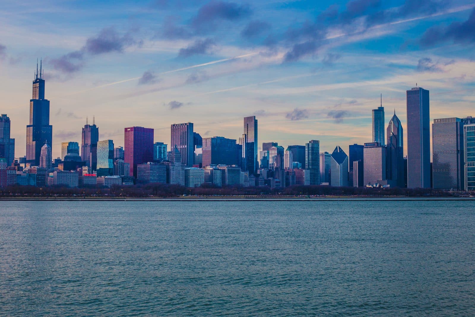
The Chicago River does not flow the way a river on this side of the continental divide normally flows. In the first weeks of January 1900 the last dam came down and the river began to run away from the lake, into a canal. That is an engineering story, and it is a century older than most of the buildings you can see from the water. It is also a separate story from the one the buildings tell. We keep them apart on purpose.
The river's story
By the 1850s Chicago had a problem it could smell. The 1854 cholera epidemic killed one out of eighteen Chicagoans, according to the Historic American Engineering Record. In 1855 the city created a Board of Sewerage Commissioners and hired Ellis Chesbrough, whose plan raised parts of the city as much as twelve feet so that sewers could drain, and put drinking-water intake tunnels two miles out into the lake. Deepening the Illinois and Michigan Canal, finished in 1871, already reversed the river for a time. A heavy rain on August 2 and 3, 1885, pushed filth into the lake anyway.
The Sanitary District of Chicago was created on May 29, 1889. Its first job was to take sewage away from the lake, which was also the city's water supply. The Main Channel, the Chicago Sanitary and Ship Canal, was dug from 1892 to 1899. HAER counts a little more than twenty-six million cubic yards of glacial drift and twelve million cubic yards of solid rock excavated for it, at a cost of twenty-three point three million dollars. The channel runs about twenty-eight miles to the Controlling Works near Lockport. Isham Randolph was the chief engineer when it was built. The American Society of Civil Engineers named it one of the Seven Wonders of American Engineering in 1955.
The dates are slightly slippery. The Sanitary District's board ordered the dam that kept the river back to be knocked down on January 2, 1900, and two weeks later the controlling gates were lowered, and water from the lake began to run down the channel. The Supreme Court's own text says the canal was opened on January 17, 1900. The safe sentence is that in the first weeks of January 1900 the river began to run into the canal.
Missouri sued to stop the discharge. Justice Holmes delivered the Court's opinion in 1906, and the Court held that Missouri had not proved its case. The reversal stood.
It is still managed. In the storm of July 2, 2023, the Metropolitan Water Reclamation District opened locks and gates between the river and the lake, which briefly sent sewer water and runoff into the lake. The National Weather Service gauge at Columbus Drive lists the stages at which the City considers closing the Riverwalk, and at which the Army Corps and the District consider opening the lock. Do not promise a visitor that they can see the current. The river is slow.
The bank's story
Hear a stop from this walk
333 West Wacker and the Confluence: A Building Bent to the River
The bank has its own cause. Here the City's landmark reports are explicit. The Wrigley Building report says the north bank boomed because of the 1909 Plan of Chicago and the 1920 Michigan Avenue Bridge, which the report calls the most important realization of the Plan. The Wrigley Building, which opened on April 1, 1921, was the first major commercial building constructed north of the river, following the widening of the avenue. Wacker Drive, a two-level road on the south bank, opened in 1926, and the Esplanade and the bridge are a single Chicago Landmark designated in 1991. Edward Bennett, who co-wrote the Plan, designed the bridge and its four bridgehouses.
So the old claim that the reversal made the bank buildable is not in any source we could open. The river's job was sanitation. The bank's boom was the Plan, a bridge and a street.
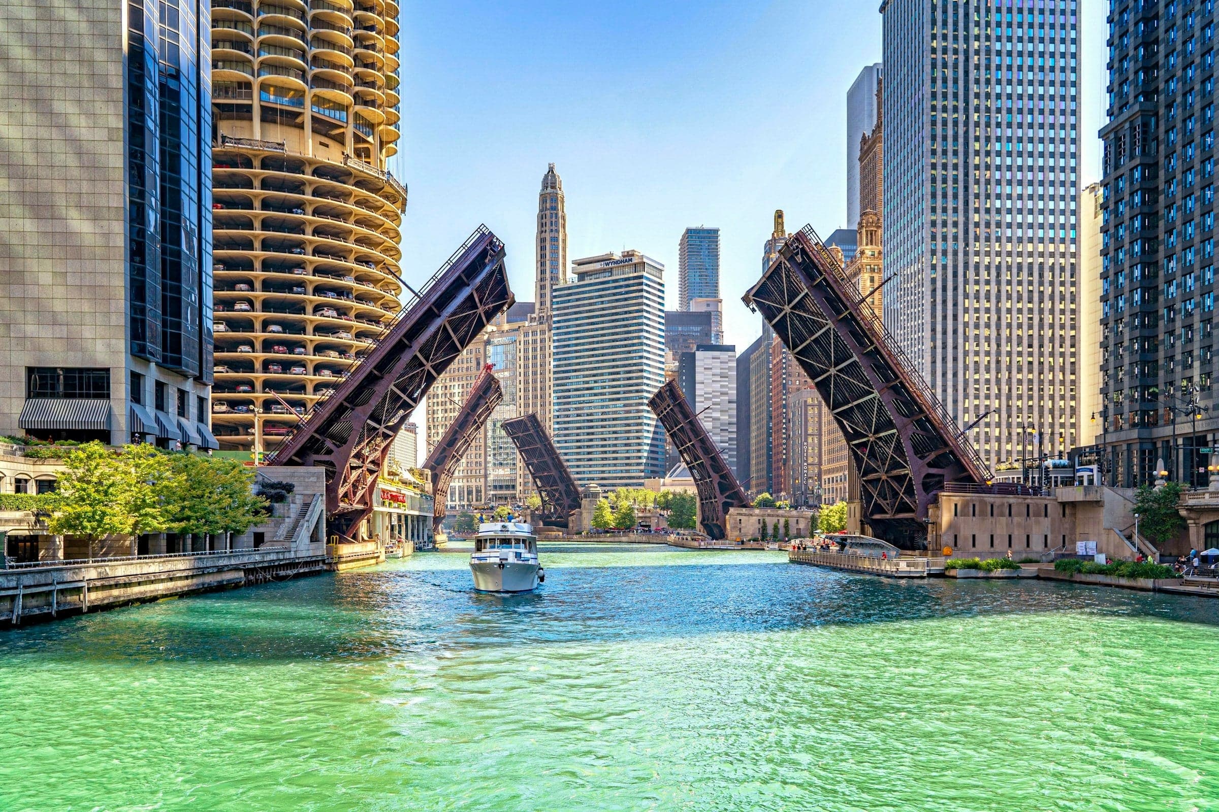
The Tribune Tower followed in 1923 to 1925 and the Merchandise Mart in 1930, built over railway air rights, the Chicago Architecture Center says, and in its day the largest building in the world by floor area. Marina City, by Bertrand Goldberg, was built from 1960 to 1967 with a janitors' union's pension money. Its two sixty-story concrete towers have a helical parking ramp in the first nineteen floors and, when they were completed in 1963, were the tallest reinforced concrete structures in the world, according to the City. Goldberg did not like the comparison to corncobs. He described the plan as a tree, or a sunflower. Mies van der Rohe's tower at 330 North Wabash, finished in the early 1970s, is next door and takes the opposite approach: black steel, a rigid grid, fifty-two stories. 333 West Wacker, by Kohn Pedersen Fox, was finished in 1983 on the point where the main branch meets the south branch. Its curved blue-green glass follows the river, and its other side follows the street grid.
The Riverwalk
The Riverwalk is where the two stories meet, at the water's edge. It runs 1.25 miles, from Lake Shore Drive to Lake Street, and the City divides it into six rooms, each set by the bascule bridges overhead: the Marina, the Cove, the River Theater, the Water Plaza, the Jetty and the Confluence. The design and engineering began in the 1990s as part of rebuilding Wacker Drive. The Vietnam Veterans Memorial was relocated between State and Wabash and dedicated on Veterans Day 2005. The connections under Michigan and Wabash opened in 2009. The stretch from State to LaSalle was finished in May 2015, and LaSalle to Lake in the fall of 2016.
It was built to flood. The City says the design had to account for the river's annual flood dynamics of nearly seven vertical feet, and the plantings in the Cove can tolerate being submerged by the river after rain. It is a ledge built out into the river. Congress approved the build-out into the waterway in 2004.
The River Theater is also the site of the Eastland Disaster. On July 24, 1915, 844 people died when the steamer Eastland rolled over into the river at its wharf, carrying Western Electric employees and their families to a company picnic. It is worth a quiet moment.
Reading the river
An engineering decision and an architectural decision are usually separate decisions. The river was turned around in 1900 for health. The street north of it was made in 1920 for commerce and for the Plan. The walk down to the water puts them in one frame: a river that does not run the way it began, and a city that built up, and then went down to meet it.
Ready to experience it?
Chicago Riverwalk: From the Magnificent Mile Down to the Water
100 min · 2.4 km · easy
More from Chicago
Explore more at your own pace.
Chicago Travel Guide: How Many Days, Getting Around, When to Go (2026)
One Day in Chicago: A Walkable Downtown Itinerary (2026)
A Sunday on La Grande Jatte: Seurat's Park of Dots, in Chicago
Art Institute of Chicago: What to See, Building by Building
Paris Street; Rainy Day: Caillebotte's Nine-Foot Street Corner