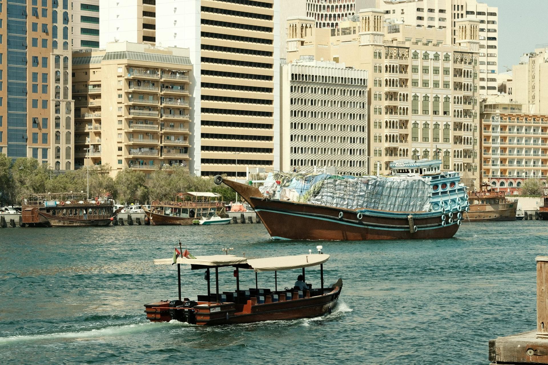
From the covered Bur Dubai Souk past the abras and the Shindagha watchtower, north along the creek past the rebuilt Perfume House and Al Maktoum Residence to Shindagha Point, the quarter's last open ground.
Start · Bur Dubai Souk: Market at the Landing
DirectionsStops
- 1
Bur Dubai Souk: Market at the Landing
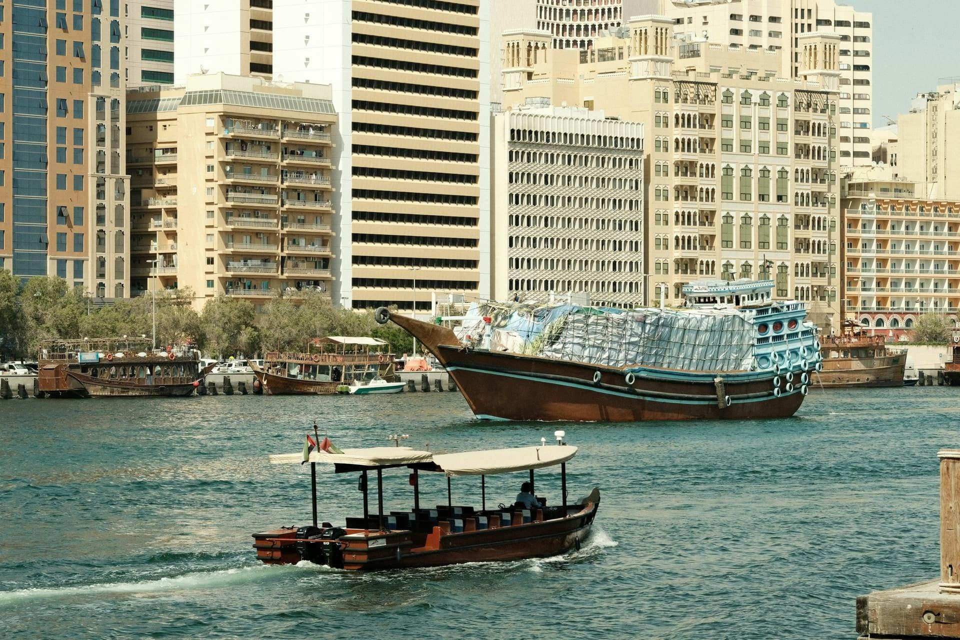
A covered market that meets the creek. The Bur Dubai Souk's timber-roofed lane beside the Dubai Old Souq abra landing, restored by the city and still trading.
- 2
Bur Dubai Abra Station: The Agent's Office
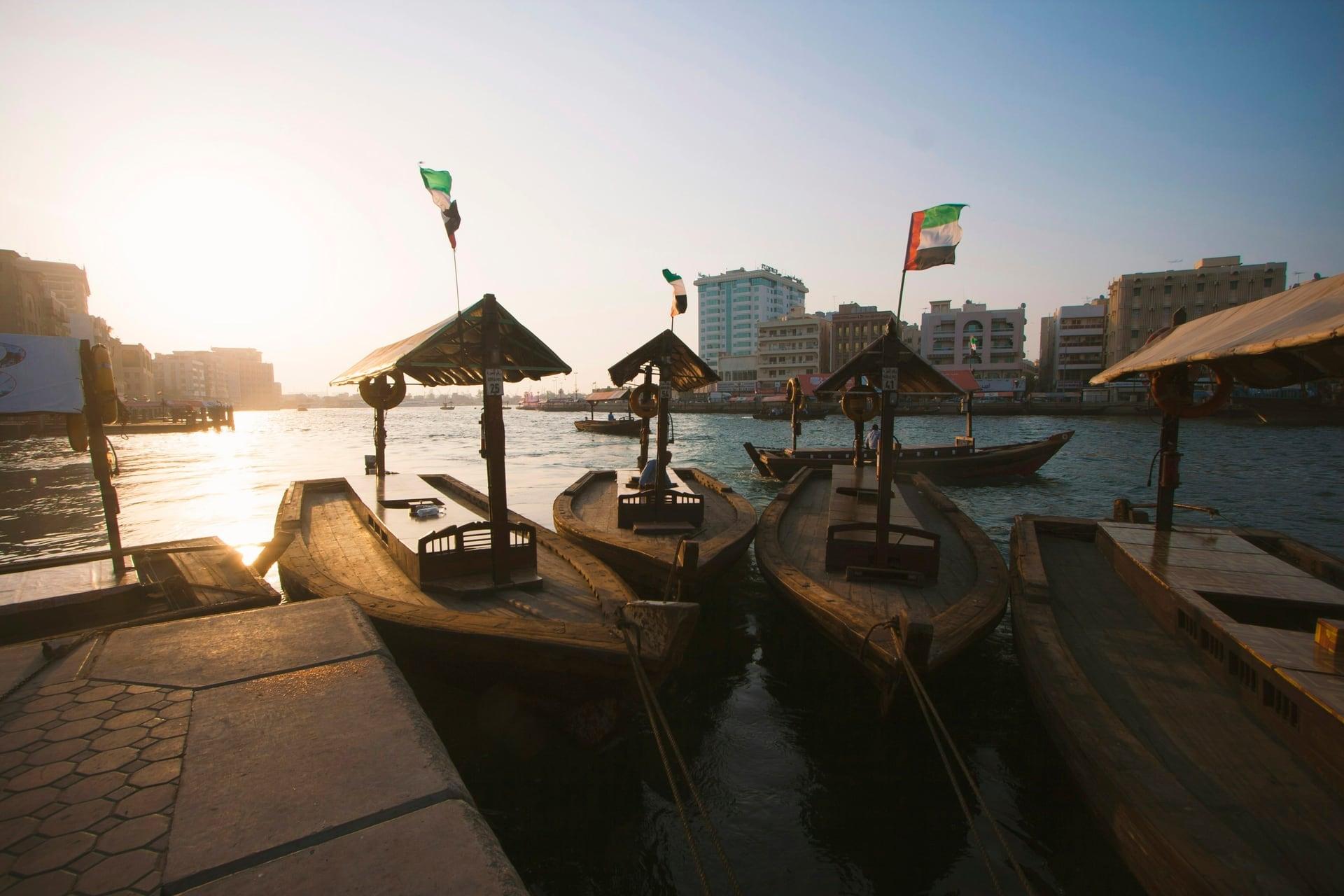
An agent's office beside the abras. The Bur Dubai abra station, where boats cross to Deira Old Souq, and Bayt Al Wakeel, a shipping agent's office of the mid 1930s, now a restaurant.
- 3
Al Ghubaiba Waterfront: The Creek as a Road
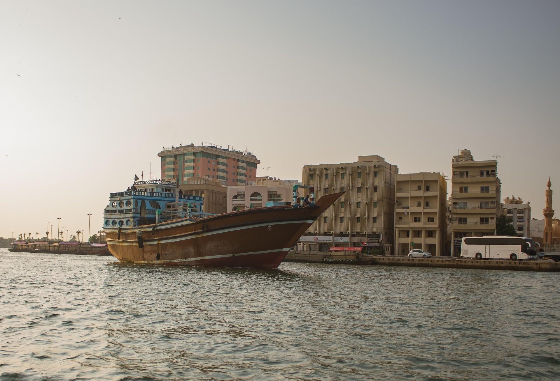
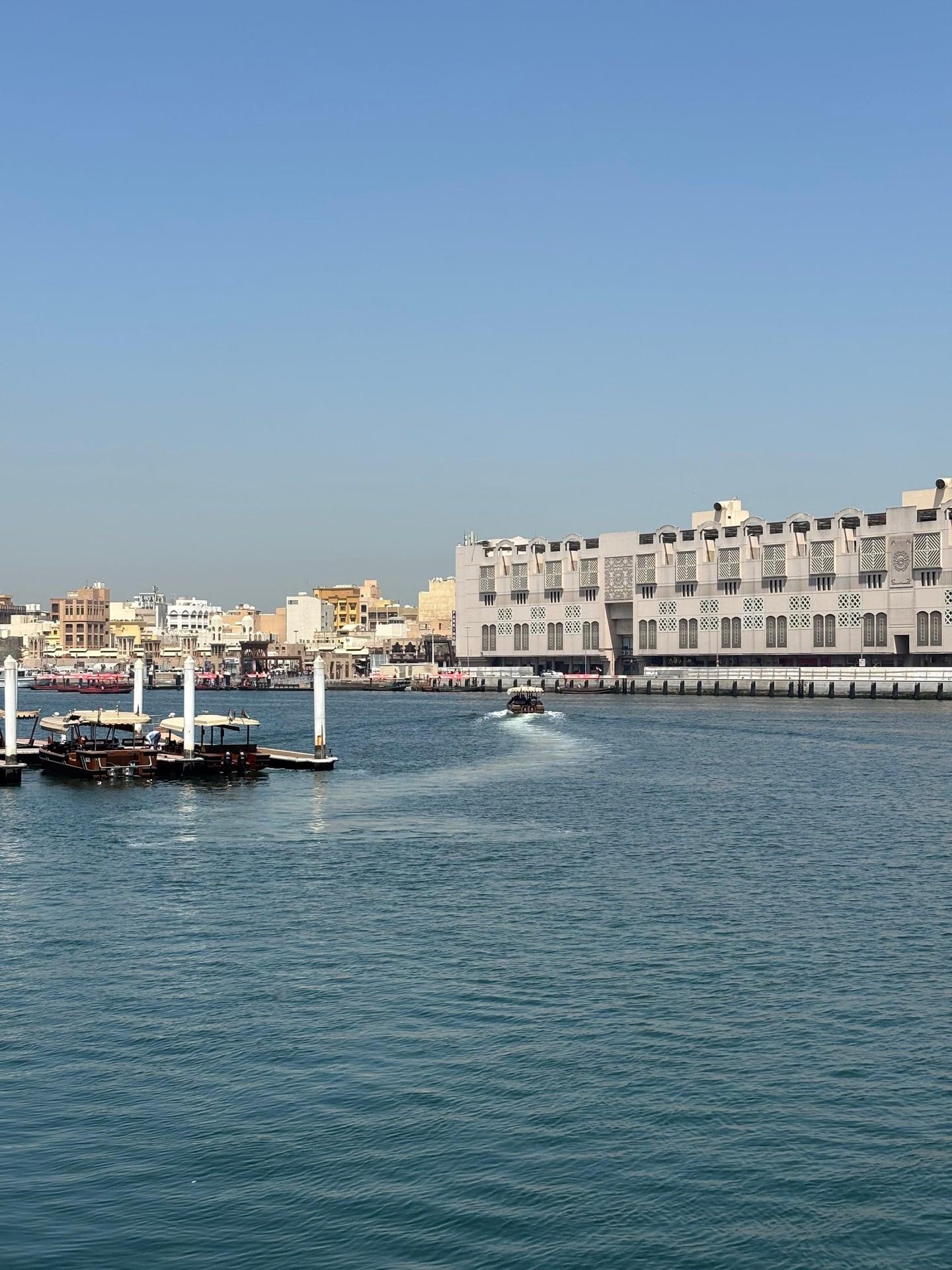
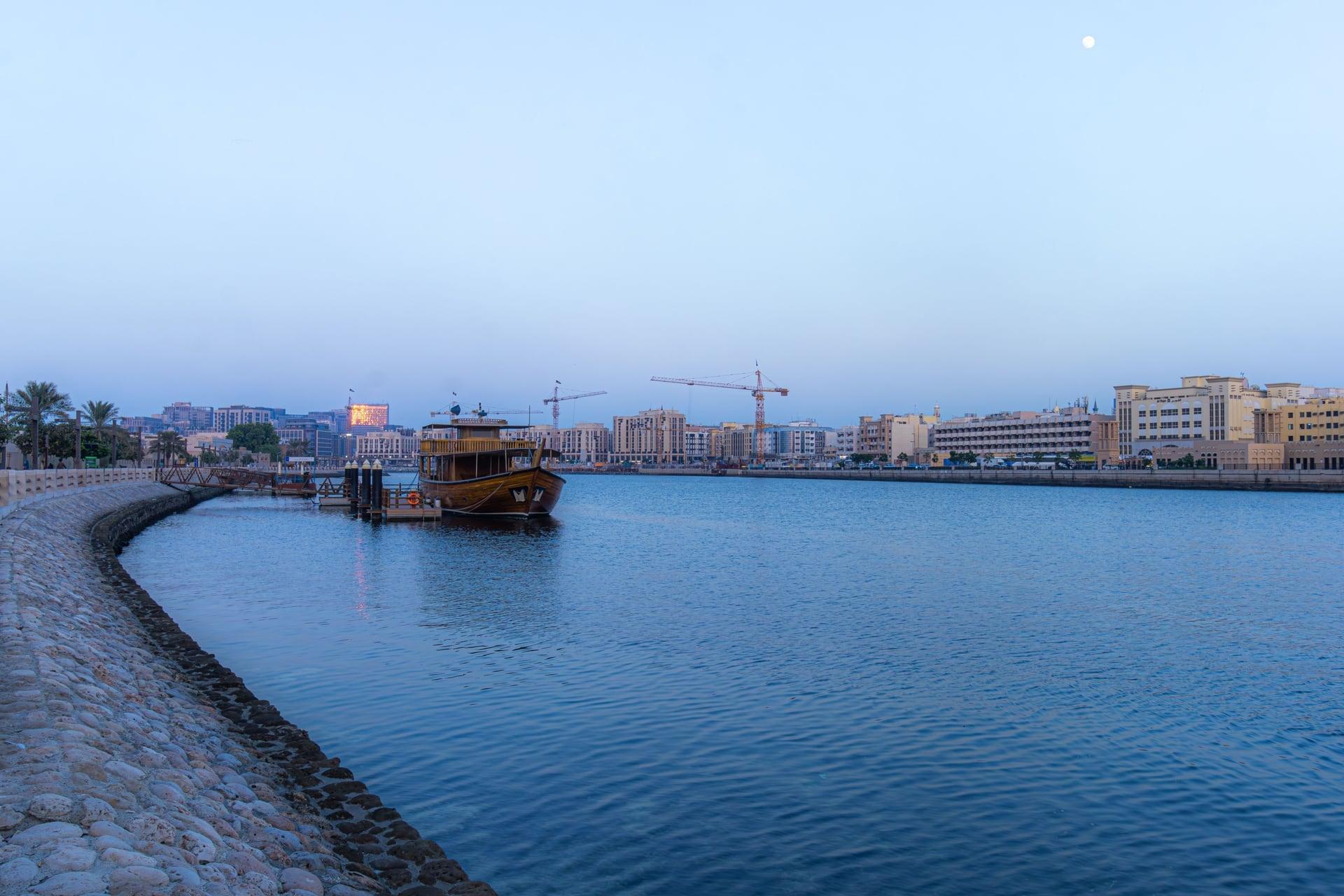
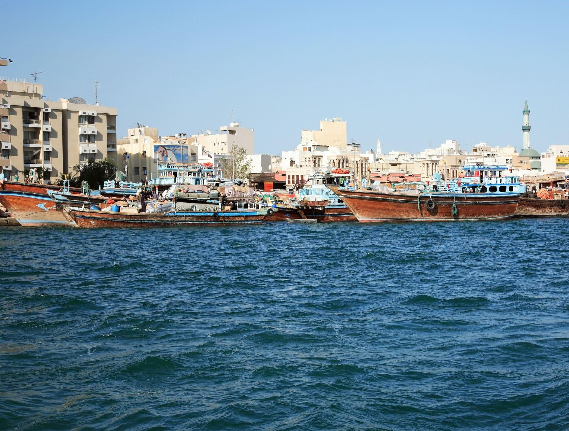
The creek still works as a road. The bend at the Al Ghubaiba ferry landing, where abras, the water bus and the Dubai Ferry share the water, with Al Ras across.
- 4
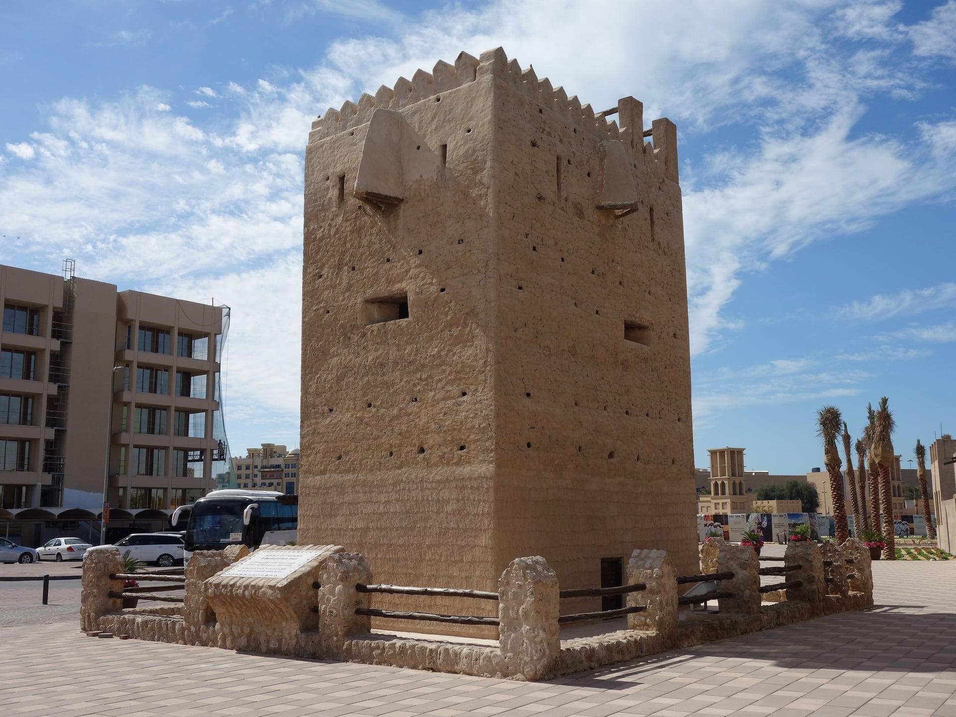
Shindagha Tower: The Lookout
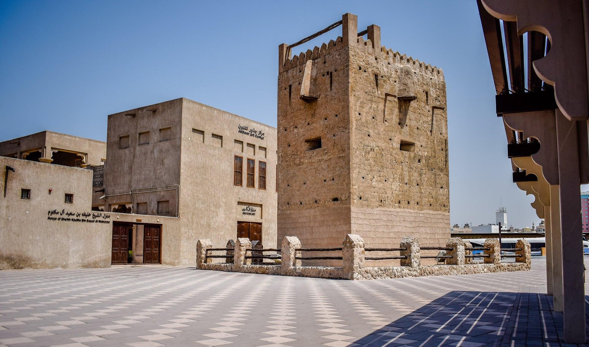
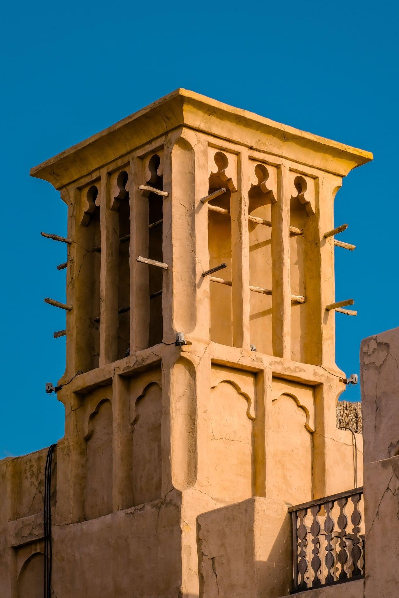
A square lookout at the quarter's gate. Muraba'at Al Shindagha, the watchtower at the bend where the Al Shindagha quarter begins, seen over its low wall.
- 5
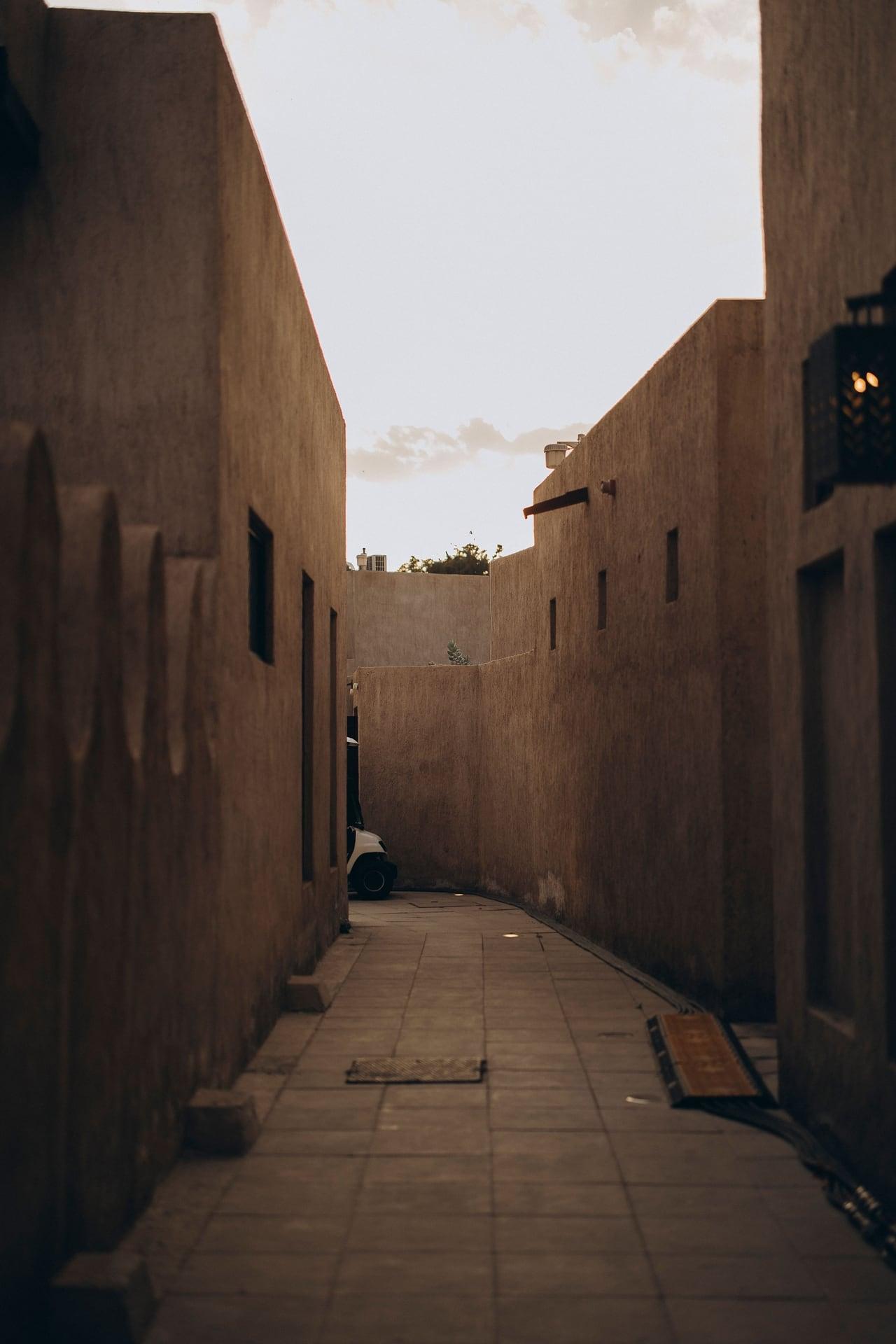
Al Shindagha Historic District: Rebuilt
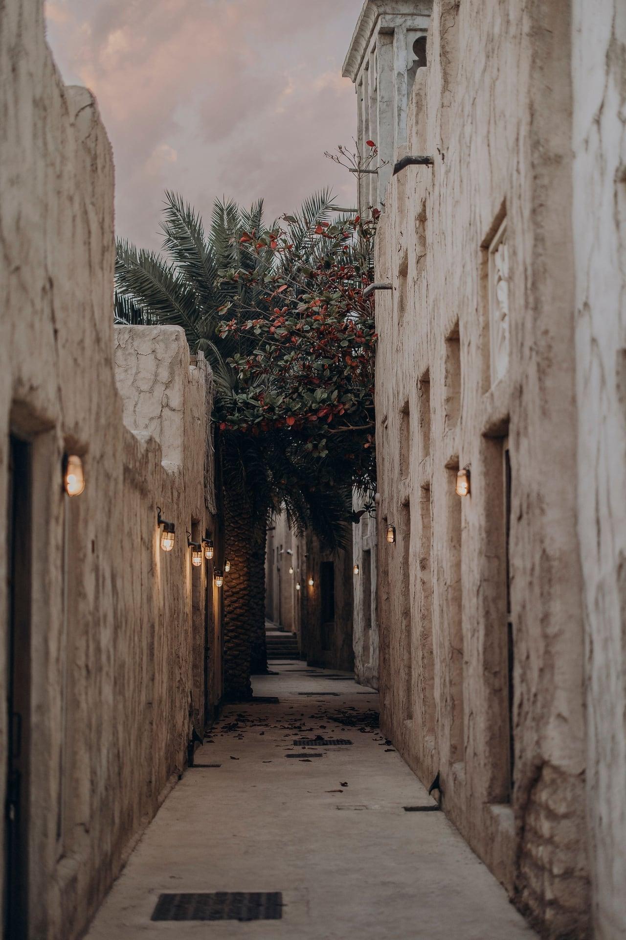
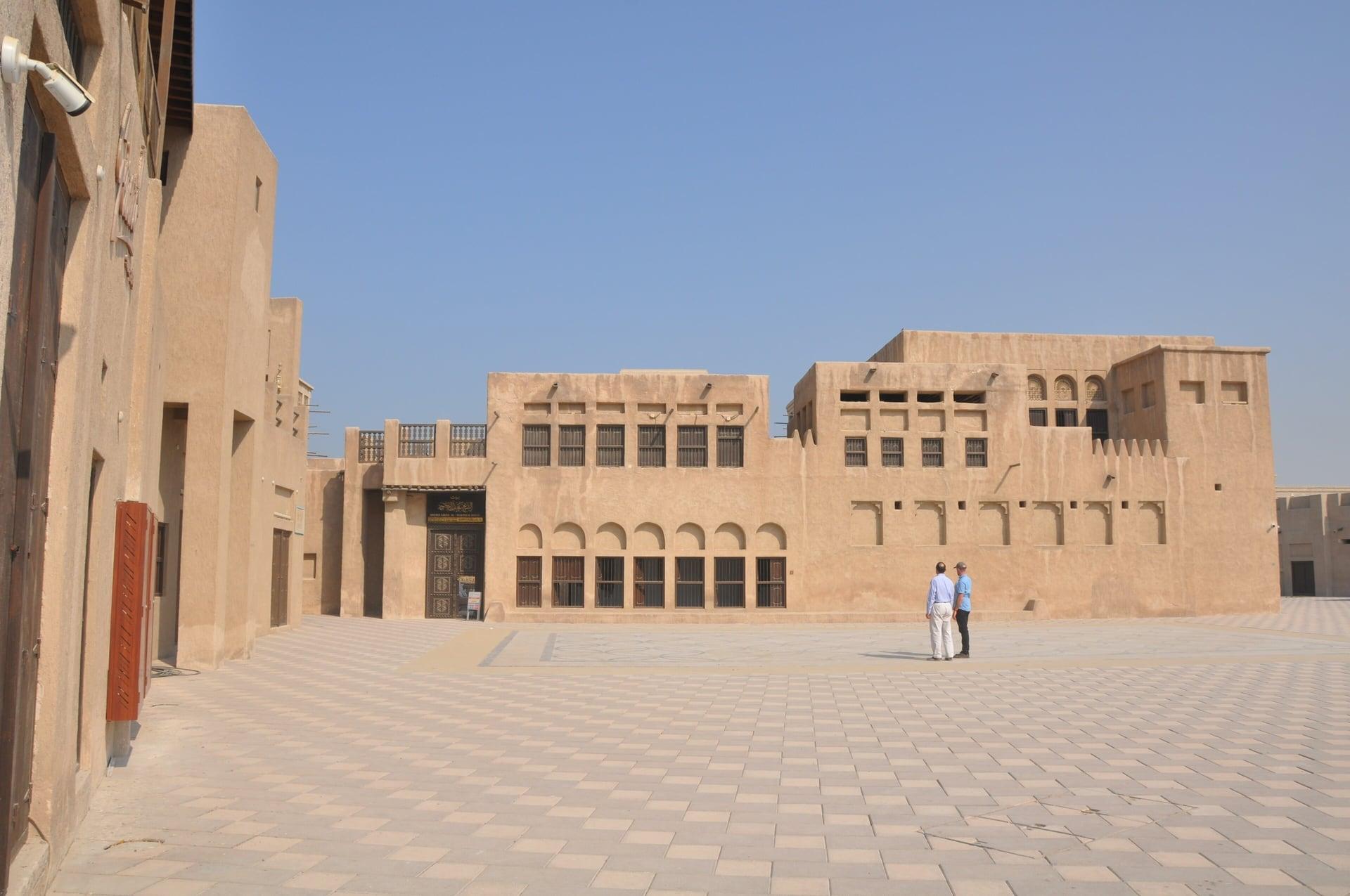
Houses rebuilt from photos and memory. The Al Shindagha Historic District, demolished in the early 1990s and reconstructed over about 15 years; the lanes are free, the museum houses ticketed.
- 6
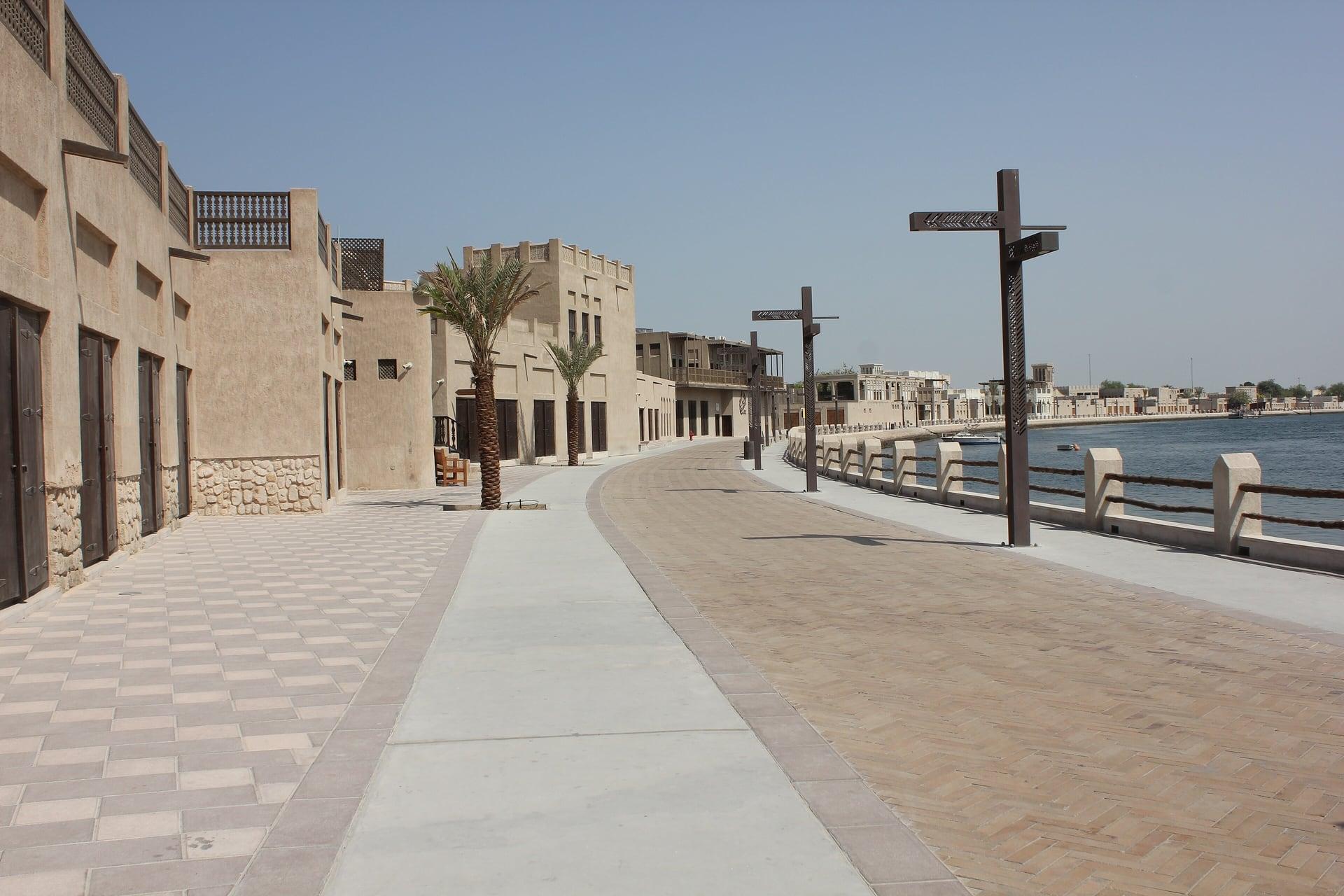
Perfume House
A perfumer's house on the water. The Perfume House, the home of Sheikha Shaikha bint Saeed Al Maktoum, who made her own scents; ticketed inside, its creek front free.
- 7
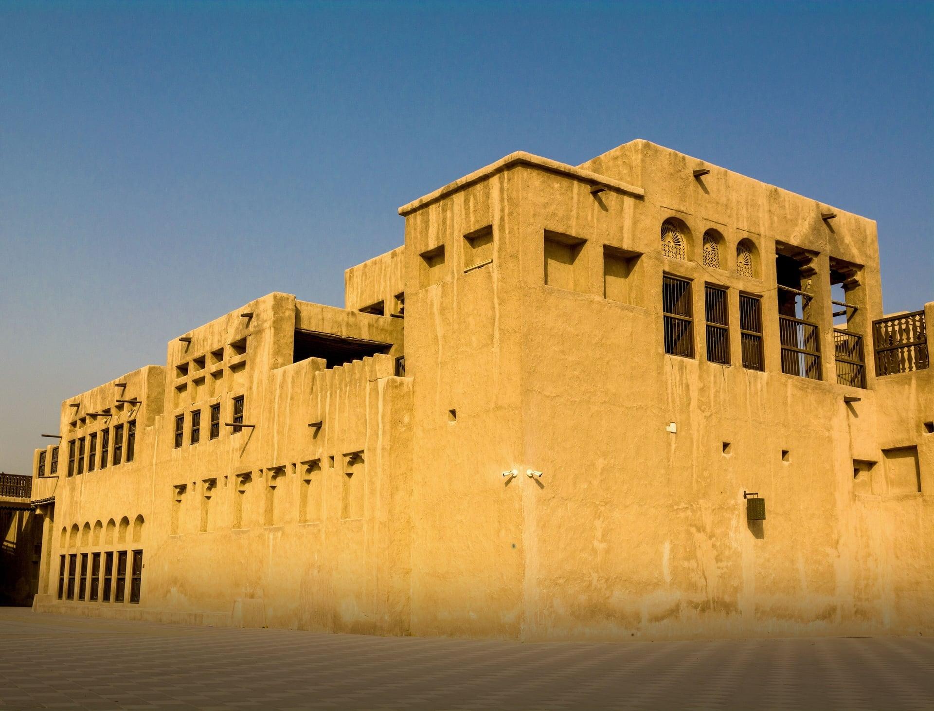
Al Maktoum Residence
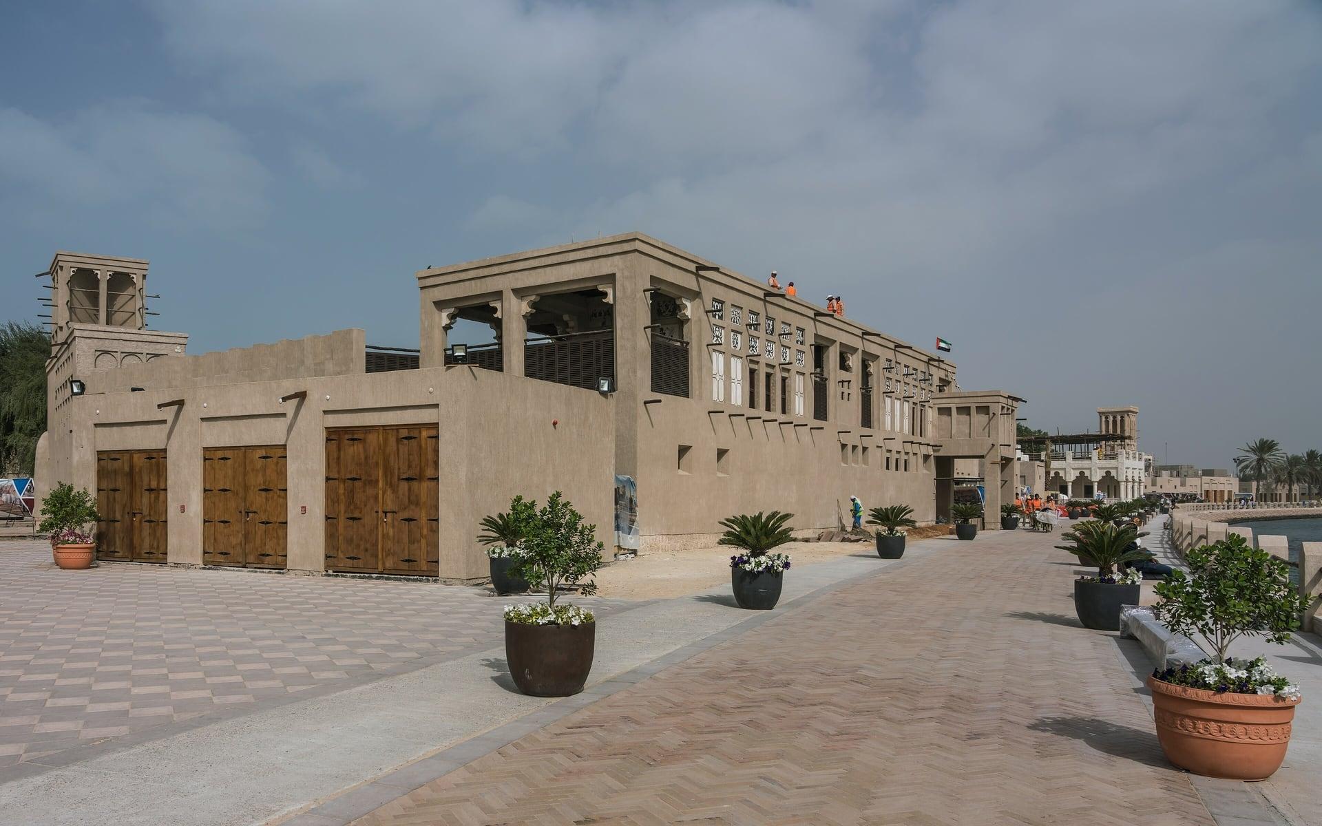
The ruling family's home until 1958. The Al Maktoum Residence's long coral-stone front on the creek, dated to the 1890s and restored as a museum.
- 8
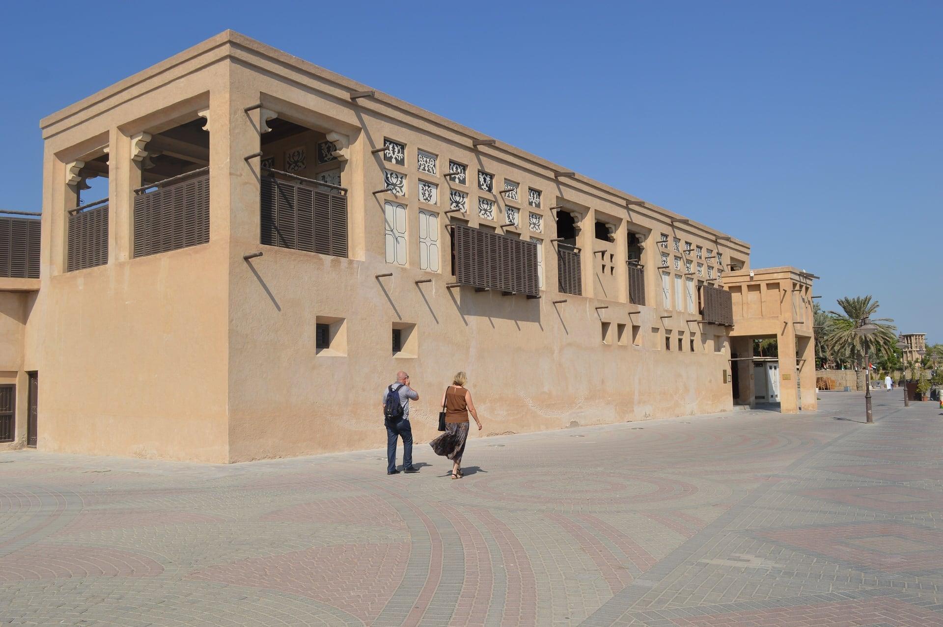
Juma and Obaid bin Thani House
Another family's house next door. Juma and Obaid bin Thani House, where the museum tells how Dubai grew, among coral-stone houses in a town that mostly lived in palm huts.
- 9
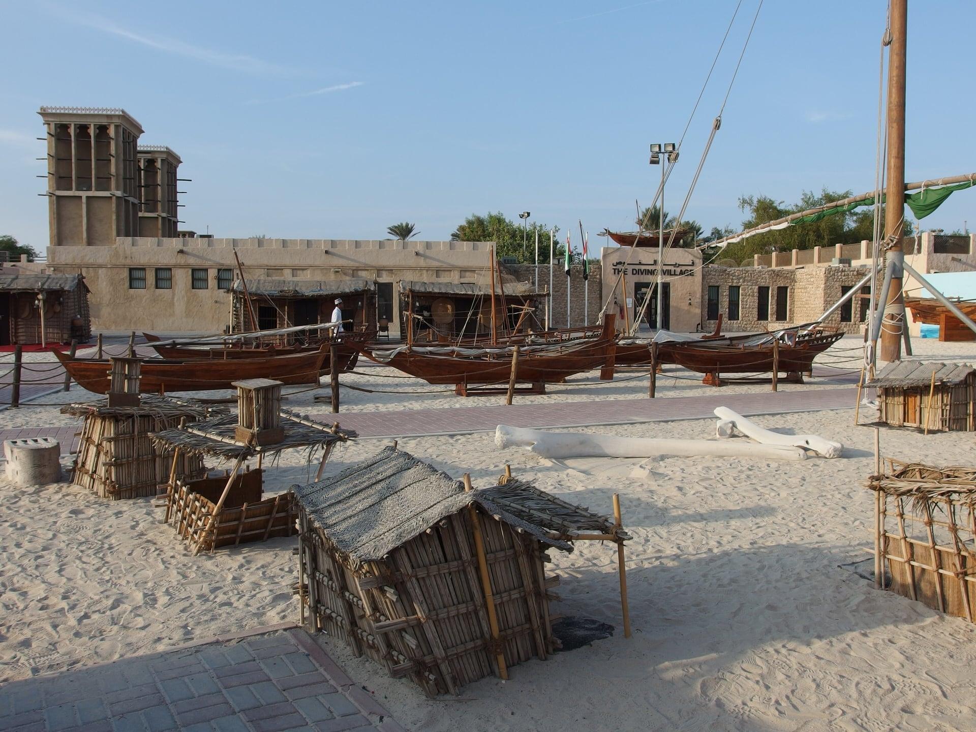
Heritage Village: The Sea That Paid
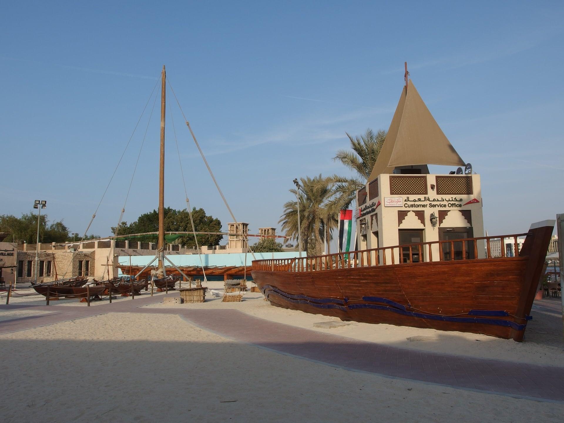
The sea that paid for the town. The walled heritage village beside the creek, and the pearling and fishing that Dubai's port lived on until the 1930s.
- 10
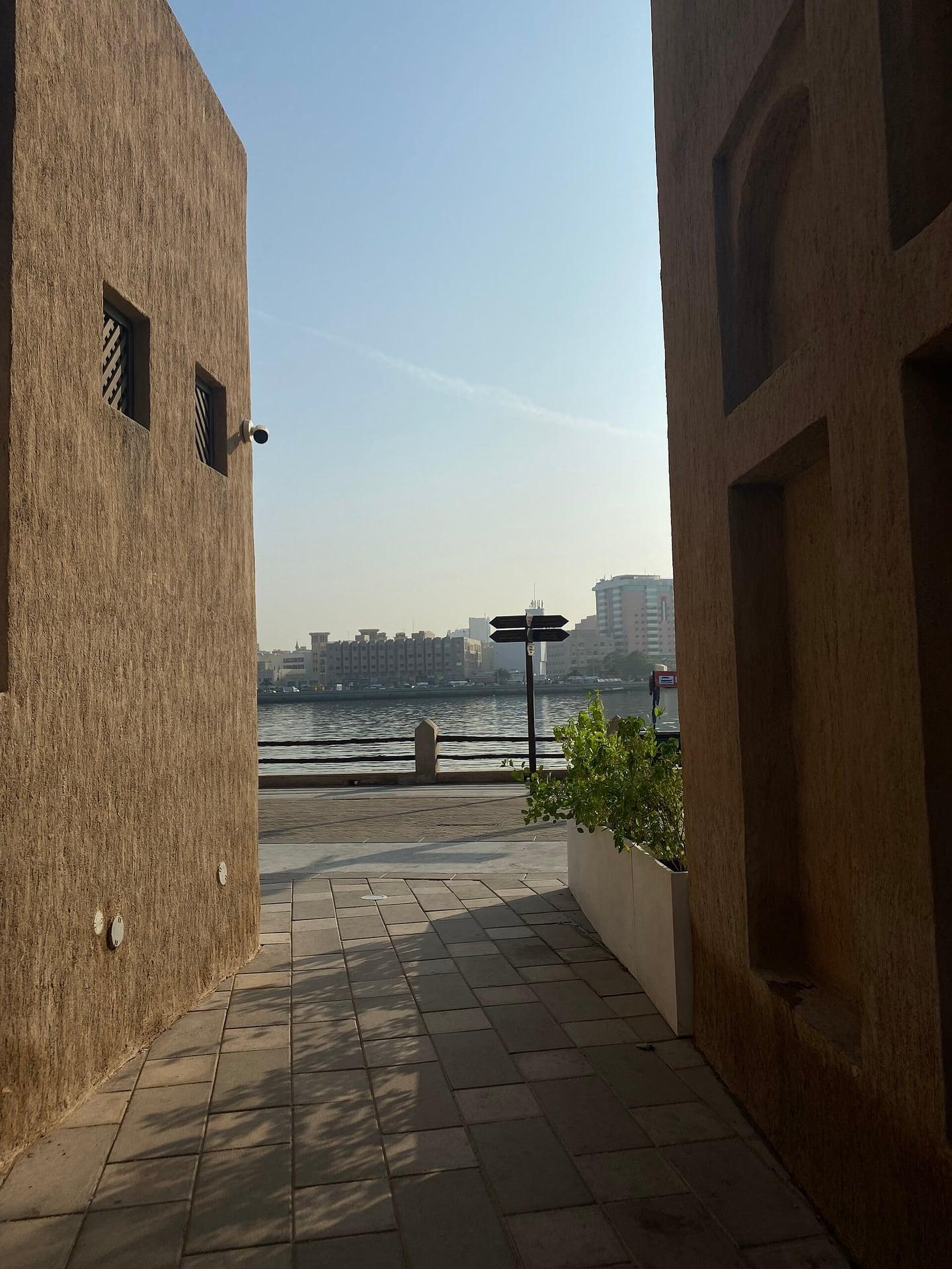
Creek Bay: Why Here
Why a town grew on this harbor. The open seating bay on the creek, with the widest view of the walk across to Al Ras and the boats heading for the mouth.
- 11
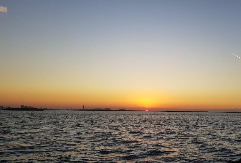
Shindagha Point: The Door of the Creek
The creek's door and its new bridge. The last open ground of Al Shindagha, looking toward the creek's mouth and the arch of the Infinity Bridge, opened in 2022.
Details
Best Time to Visit
Daytime into the evening: Dubai Municipality says the souk's gates open in the morning and close in the evening (it lists the market's facilities as open daily 8:00 to 22:00), and the creek path beyond is lit all the way. To go into the museum houses, come between 10:00 and 20:00 (last entry 19:00, Al Shindagha Museum FAQ and visit pages, read through archived copies: recheck on the museum's live site). The waterfront faces the creek to the east: full sun in the morning, shade from the houses from early afternoon. Late afternoon into sunset (about 17:30 in November and December, about 18:10 in mid-February, computed) is the most comfortable, and November to March is the season for walking outdoors. Checked 10 November 2026.
Pro Tips
- •Start in the Bur Dubai Souk where its lane meets the path to the Dubai Old Souq abra landing. From Al Ghubaiba metro (Green Line), walk about 10 minutes east along the creek.
- •From our Old Dubai walk, which ends at the Dubai Old Souq abra landing: walk back from the jetties along the short path to the souk lane, about 40 m, and begin there.
- •By abra (rta.ae): CR2 from Al Sabkha on the Deira side lands at the Dubai Old Souq landing beside stop 1; CR1 from Deira Old Souq lands at the Bur Dubai abra station at stop 2, about 230 m west of stop 1 through the souk. RTA lists the fare on these two routes as AED 1, cash. Checked 10 November 2026.
- •Dubai Metro Green Line, Al Ghubaiba station (beside stop 4): Monday to Thursday and Saturday 05:00 to midnight, Friday 05:00 to 01:00, Sunday 08:00 to midnight (rta.ae). Checked 10 November 2026.
- •Getting away from Shindagha Point (stop 11): Al Ghubaiba metro is about 700 m back along the waterfront and the district lane; the Dubai Ferry leaves Al Ghubaiba Marine Station for the Dubai Water Canal (FR1) and Sharjah Aquarium (FR5); check times on rta.ae. Taxis from the road behind the point. Checked 10 November 2026.
- •Al Shindagha Museum houses (stops 5 to 8): daily 10:00 to 20:00, last entry 19:00; tickets at the Visitor Centre up the district lane from stop 5, or through the official site (dubaiculture.ae); check the current price there. The lanes and the waterfront are free. Checked 10 November 2026.
Safety & Precautions
- •The Bur Dubai Souk (stop 1 and the lane to stop 2) is narrow, covered and busy: keep to the side for handcarts. Dubai Municipality says its gates open in the morning and close in the evening (facilities listed daily 8:00 to 22:00), and each shop keeps its own hours. If the gates are shut, walk one block south along Ali Bin Abi Taleb Street and come up 34th Street to the water at stop 2. The lane is most crowded in the evening. Checked 10 November 2026.
- •GPS is weak under the souk's roof. If stop 2 does not start when you come out onto the water, start it by hand.
- •Dress modestly in the souk and the old quarter (shoulders and knees covered). Ask before photographing people: UAE law protects privacy. Drones need a permit.
- •Service vehicles use the waterfront path between stops 2 and 4: keep to the creek side. Two service lanes meet the path there, with no signals: look left first. There is no road crossing on the walk.
- •Sun: the waterfront has little shade in the morning; carry water and a hat. The path is paved, flat, step-free and lit after dark.
- •Ramadan is expected to begin about 8 February 2027, subject to the moon sighting: shop and museum hours change, and you should avoid eating or drinking openly in the street in daylight.
- •The path ends at a closed government compound just beyond stop 11: stop at the end of the path, and do not photograph the compound.
Travel advisory: Reconsider Travel (Level 3).
Gallery
Related Reading
Go deeper on what you'll see, hear, and walk through.
Read the walk
The full story of Al Shindagha: The Rulers' Quarter Rebuilt by the Creek, in words. Prefer to listen? Play it narrated, from home or on location.
Introduction
Dubai began on its creek, near the sea. On Al Shindagha, a thin strip of land between the creek and the sea, the town's rulers lived, facing the water. Then, in the early nineteen nineties, most of the old quarter was pulled down. What you will see was rebuilt over about fifteen years on the old foundations, from photographs, documents and the memories of people who lived here. This walk shows you which parts are old and which were remade.
There are eleven stops over about one point three kilometers, just over three quarters of a mile, and it takes about fifty minutes. It is flat and step-free, with no road to cross. Two service lanes meet the creek path, so watch for vans there.
The walk begins in the covered Bur Dubai Souk. Dubai Municipality says its gates open in the morning and close in the evening, and each shop keeps its own hours. Dress modestly in the souk and the old quarter, with shoulders and knees covered. During Ramadan, expected from about the eighth of February twenty twenty seven, hours change, and it is polite not to eat or drink openly in the street in daylight. After the souk, the creek path has little shade in the morning, so bring water and a hat. It is lit after dark.
The walk ends at Shindagha Point, the last open ground on the way to the creek's mouth. When you arrive at the Bur Dubai Souk, begin with stop one.
1. Bur Dubai Souk: Market at the Landing
This is the Bur Dubai Souk. If you are coming from the abra landing, walk back from the jetties along the short path, and stop where it meets the souk lane.
Turn so the path to the landing is on your right. Ahead of you the lane runs on between shops, under a timber roof, their goods hung out under the beams. That covered lane is the way this walk goes. Through the gap to the landing you can see the creek, the wooden abras that ferry people across it, and the Deira bank on the far side.
This is the souk's whole idea in one look: boats on one side, shops on the other, a few steps between. Dubai lived by trade. Dubai's own heritage submission to UNESCO, made in twenty twelve, describes a free-trade port that drew merchants from Persia, India, East Africa and the Arabian Peninsula, and a creek that dealt in pearls, gold, textiles and spices. Goods came off the boats and into lanes like this one. Dubai Municipality says this market was built in the early eighteen hundreds, and expanded several times since.
The same submission says the old souks of Deira and Bur Dubai have been carefully restored, and still play a part in the city's trade. In their covered alleys, it says, you can still find shops bearing the names of old merchant families, from Dubai and the countries around it.
This is a busy working market. Keep to the side for handcarts, dress modestly, and ask before you photograph anyone: UAE law protects people's privacy. Each shop keeps its own hours, so some shutters may be down when you pass.
Follow the route into the covered lane. It comes out on the water at the next stop.
2. Bur Dubai Abra Station: The Agent's Office
When you come out of the souk onto the water, stop on the open paving by the creek. In front of you is the Bur Dubai abra station, where the boats load at the steps and cross to the Deira Old Souq landing on the far bank.
Now step toward the water and look back along the creek, the way you came. Beyond the long building at the water's edge, a terrace stands out over the creek. It belongs to a low building you passed inside the souk: Bayt Al Wakeel, the agent's house. Wakeel means agent.
The agent was a shipping company. Gulf News, telling the building's story, says Gray Mackenzie and Company was appointed as the licensed shipping agent in Dubai in the late eighteen hundreds. A shipping agent handled a ship's business in port. The restaurant's own history says this building went up in the mid nineteen thirties as a shipping office, by most accounts one of the first office buildings on the creek.
Think of it after the souk. Behind you, trade lived in small shops, family by family, under one long roof. Here it got an office of its own, set on the water, where the cargo was.
Today Bayt Al Wakeel is a restaurant, and Gulf News reports it is listed among Dubai's heritage sites. The terrace is for diners; the view of it from the water's edge is free.
If you want to cross the creek, the abras from these steps are the simple way. A ride costs a dirham or two, and it is best to carry cash.
Follow the route along the waterfront path, and keep to the creek side: service vans use it too. Next, the creek opens out at the ferry landing.
3. Al Ghubaiba Waterfront: The Creek as a Road
Walk on to where the path bends and the creek opens out, and stop there. Across the water is Al Ras, on the Deira side. Just ahead are the pontoons of the Al Ghubaiba ferry landing.
Count the kinds of boat that use this stretch. The abras you have just left cross the creek, bank to bank. A water bus runs along it, to the landing by the souk. And from the landing ahead, the larger boats of the Dubai Ferry leave for the Dubai Water Canal and for Sharjah. The creek is still a road, with slow lanes and fast ones.
It was always the town's road, and its harbor. Dubai's heritage submission to UNESCO describes the creek as about fourteen kilometers long and between a hundred and five hundred meters wide. Ships needed more depth than nature gave. By that submission, the creek was first dredged in nineteen sixty one, so that boats drawing about two meters of water could come in, and it was dredged again in the nineteen sixties and seventies.
That work kept the town's road open as boats grew bigger. Without it, trade would have gone somewhere else, and you will hear at the end of this walk what happened when, in the end, some of it did.
Follow the route around the bend toward the watchtower. Where the ferry landing's service lane meets the path, look left first for vehicles.
4. Shindagha Tower: The Lookout
Walk on past the ferry landing and stop on the path. Turn away from the creek and look across the open paved square toward the road end, and you will see a square tower standing inside its own low wall.
The Al Shindagha Museum calls it Muraba'at Al Shindagha. A muraba'a is a square tower. In the museum's words, watchtowers like this were common across Dubai's historic districts: guards were posted at the highest point to look out for attacks and protect the town.
Look at its shape. Square, solid, and set at the bend, where a lookout could see along the water both ways. It is the gatepost of the quarter you are about to walk through.
That quarter is Al Shindagha. Dubai's heritage submission to UNESCO describes it as a thin strip of land between the creek and the sea, which became the main place to live, and the place where the city's rulers lived. From here to the end of the walk, the houses on your left stand on that strip, and the creek runs on your right.
When this tower was built, and how much of it is old, the sources do not settle, so take it as the museum does: the quarter's lookout. It is not open inside. Its shape is the point, and you can see all of it from here.
The metro is close by: Al Ghubaiba station, on the Green Line, is a short walk inland from here.
Follow the route north along the creek. The houses of the old quarter begin.
5. Al Shindagha Historic District: Rebuilt
Walk on to where a lane comes down between the houses to the creek, and stop. On your left, low sand-colored houses run along the water, with wind towers rising above their roofs. On your right is the creek. Know this before you look further: these houses are not survivors. In…
Full narration for this stop unlocks with the tour.
6. Perfume House
Walk on to the next house along the water, and stop in front of it. This is the Perfume House, one of the museum's ticketed houses. Its creek front and wind tower are free to look at, and its hours are on this stop's card. It was the home of a woman of the ruling family,…
Full narration for this stop unlocks with the tour.
7. Al Maktoum Residence
Walk on past the next house along, the long one, and stop at its far end. This long two-story front on the water, with its wind towers above, is the Al Maktoum Residence. It is a ticketed museum house now; the front is free at all hours. It is named after Sheikh Saeed bin…
Full narration for this stop unlocks with the tour.
8. Juma and Obaid bin Thani House
Walk on a little way to the next house, and stop beside it. This is the Juma and Obaid bin Thani House, another of the museum's ticketed houses, with its own wind tower above the water. The sources say little about the family who lived here. What matters is that they were…
Full narration for this stop unlocks with the tour.
9. Heritage Village: The Sea That Paid
Walk on beside the long wall and stop about halfway along it. Behind this wall is the walled heritage village, a separate compound. On your right the creek is widening, and Al Ras is across the water. Khaleej Times lists a diving village and a heritage village among the…
Full narration for this stop unlocks with the tour.
10. Creek Bay: Why Here
Walk on to the open bay with benches and bronze sculptures, and stop by the water. This is the widest view on the walk. Across the channel is Al Ras, on the Deira side, and the boats run past you toward the mouth. Look at the water and ask why a town grew here at all. Dubai's…
Full narration for this stop unlocks with the tour.
11. Shindagha Point: The Door of the Creek
Walk on to the end of the waterfront path and stop there. The ground beyond is closed, so this is as far as the walk goes. Look ahead, toward the mouth of the creek, where it opens to the sea. Beyond the end of the path, the arch of the Infinity Bridge crosses the water. The…
Full narration for this stop unlocks with the tour.
- Dubai Towers — Marko, CC BY-SA 4.0 · source
- Al Shindagha Watchtower — Michiel Basson, CC BY-SA 4.0 · source
- House of Shiekha bent Saeed Almaktoom (Building No 119) — Thushara.Mohanan, CC BY-SA 4.0 · source
- Saeed Al Maktoum House — Jasonbalaba, CC BY-SA 4.0 · source
- بيت الشيخ سعيد آل مكتوم صورة للمنزل مع المنطقة المحيطة — أمين علوان, CC BY-SA 4.0 · source
- Shindagha historic district , Bur Dubai — Michael Gaylard, CC BY 2.0 · source
- Sheikh Obaid bin Thani House in Dubai / United Arab Emirates — A.Savin, FAL · source
- Diving Village @ Heritage Village @ Bur Dubai — Guilhem Vellut from Annecy, France, CC BY 2.0 · source
- Diving Village @ Heritage Village @ Bur Dubai — Guilhem Vellut from Annecy, France, CC BY 2.0 · source
- A view of the creek in Al-Shindagha neighborhood in Dubai, United Arab Emirates. — Shahdmurshed, CC BY-SA 4.0 · source
- Taken from The Dubai Sharjah Ferry which runs from Aquarium Marine Station in Sharjah to Al Ghubaiba Marine — Dr Shallu, CC BY-SA 4.0 · source
Images may be cropped or resized. Other photos via Unsplash and Pexels.