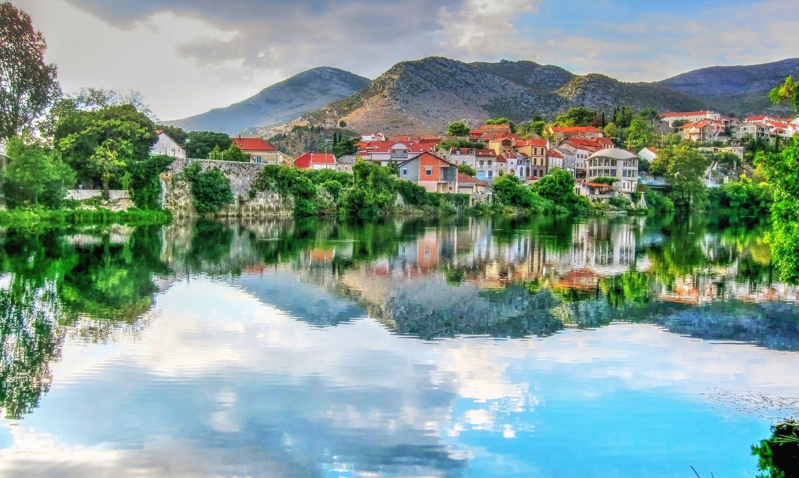
Trebinje is a small, sun-warmed Herzegovinian town that empire after empire has claimed and marked, and the remarkable thing is how close together the marks sit. Roman Tribulium, medieval Travunija, an Ottoman walled quarter and an Austro-Hungarian new town all lie within a few hundred metres of one square of plane trees. The reason is the road. Trebinje stands on the old route that climbed from Ragusa, today's Dubrovnik, up toward Constantinople, about thirty kilometres from the Adriatic. Whoever held the road wanted the town, and each of them left something you can still touch.
Reading a town backward
The walk starts with the newest layer and moves back in time. Trg slobode, Freedom Square, is the Austro-Hungarian answer to the crossroads: after 1878 the new administration laid out a planned town west of the Ottoman walls and lined its square with plane trees. Heritage sources note that the trees went in on the site of a former Ottoman cemetery, so one empire's burial ground became the next empire's promenade. The trees are now a protected symbol, and they give Trebinje its nickname, the city of the sun and plane trees. The stone angel on its column was paid for in 1938 by the town's poet and diplomat, Jovan Ducic.
A short stroll away, the Serbian Orthodox Cathedral of the Holy Transfiguration rises in a small park, built between 1888 and 1908 in local limestone and pale marble. It is the seat of the Eparchy of Zahumlje, Herzegovina and the Littoral, and its blend of Gothic and Byzantine lines suits a town made of blended layers.
Inside the Ottoman walls
Hear a stop from this walk
The Arslanagic Bridge: Moved Stone by Stone
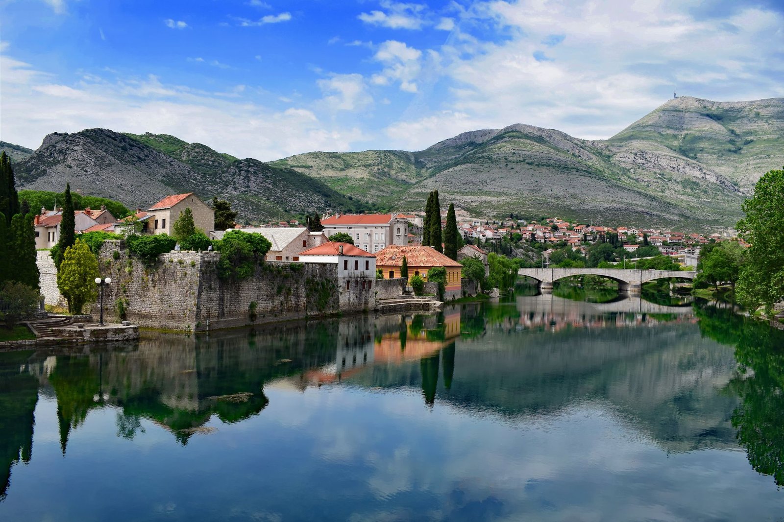
Then the scale drops. The Kastel, the walled old town, sits on the right bank of the Trebisnjica above the river's deepest pool, a spot remembered as Ban Vir, the ban's whirlpool. Osman-pasa Resulbegovic began building it in 1714. The masons came from Dubrovnik and the labour from the surrounding country, so even the walls were imported from both directions at once. A moat linked to the river once ringed the quarter and was filled in by 1932.
Inside stand two mosques and a clock tower from the same burst of building. The Sultan Ahmed Mosque of 1719 was raised in the sultan's name; seven years later Osman-pasa built the larger Osman Pasha Mosque in his own. Tradition holds that he was executed in 1729, accused of building grander than the emperor. That mosque was destroyed with explosives in the war of the early 1990s and rebuilt between 2001 and 2005, close to the original, and it is again a place of prayer. The sahat-kula, the clock tower, simply endured. Look at how the lanes are built to a walking scale, with low doorways and stone houses in the shade of the walls, and you are reading the Ottoman town as it was laid out nearly three centuries ago.
The poet and the river
At the edge of the quarter, the Museum of Herzegovina occupies a former Austro-Hungarian barracks, one empire's building put to a new use. It keeps a collection tied to Ducic, born here in the early 1870s, who died in Gary, Indiana, in 1943 and, by his own wish, was reburied in 2000 at Hercegovacka Gracanica on the hill above town.
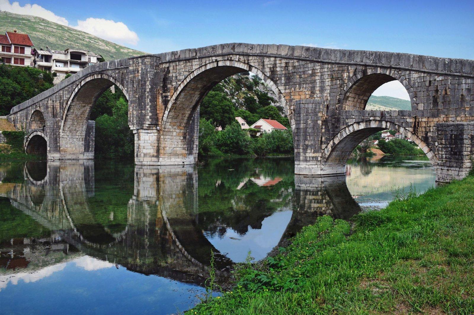
The last stretch follows the Trebisnjica downstream. It is a karst river, roughly 187 kilometres long, about half of it underground, slipping beneath the limestone and finding its way to the Adriatic. From the 1960s it was dammed for hydroelectric power, and that is how the walk earns its final image. The Arslanagic Bridge, an Ottoman crossing named for the man who collected its toll after 1687, disappeared under a new reservoir in 1965. Rather than lose it, the stones were numbered, the bridge was taken apart and it was rebuilt upstream between Gradina and Police, where it is a National Monument of Bosnia and Herzegovina. A mosque rebuilt, a cathedral repaired, a poet carried home, a bridge moved out of the water's way: Trebinje keeps carrying its layers forward.
Walking it
The route is mostly flat and works well at your own pace: linger under the plane trees, take the old town lanes slowly, step into the cathedral or the museum if they are open, or skip what does not interest you. The embankment stretch is exposed, so bring water and a hat in summer, and keep your voice low at the cathedral and the mosques, both living places of worship. There are two deeper looks on Learn, one on the Kastel's walls and one on the Arslanagic Bridge.
The walk is Historic Center: Crossroads of Empires, nine stops over about 2.5 kilometres in roughly 85 minutes, from Trg slobode to the bridge. See all routes on the Trebinje page.
Sources
- Herzegovina Tourism Region, Trebinje Old Town: Osman-pasa Resulbegovic, the 1714 start of work, Dubrovnik craftsmen and local labour, the moat dug the following year, the Ban Vir legend.
- Herzegovina Tourism Region, Arslanagic Bridge: the traditional attribution, Arslan-aga and the toll after 1687, the 1965 reservoir, the 1966 request to move it between Gradina and Police.
- Arslanagic Bridge, Wikipedia: National Monument designation of 25 January 2006 and the later dating debate.
- Roamer's audited tour transcript for the remaining facts on the square, cathedral, mosques, museum and river.
Ready to experience it?

Historic Center: Crossroads of Empires
85 min · 2.5 km · easy
More from Trebinje
Explore more at your own pace.