
A compact walk through a sun-warmed Herzegovinian town where Roman, Byzantine, Ottoman, and Austro-Hungarian layers sit within a few hundred metres of a plane-tree square, ending at an Ottoman bridge that was moved stone by stone to survive a dam.
Start · Trg slobode: The City of Sun and Plane Trees
DirectionsStops
- 1
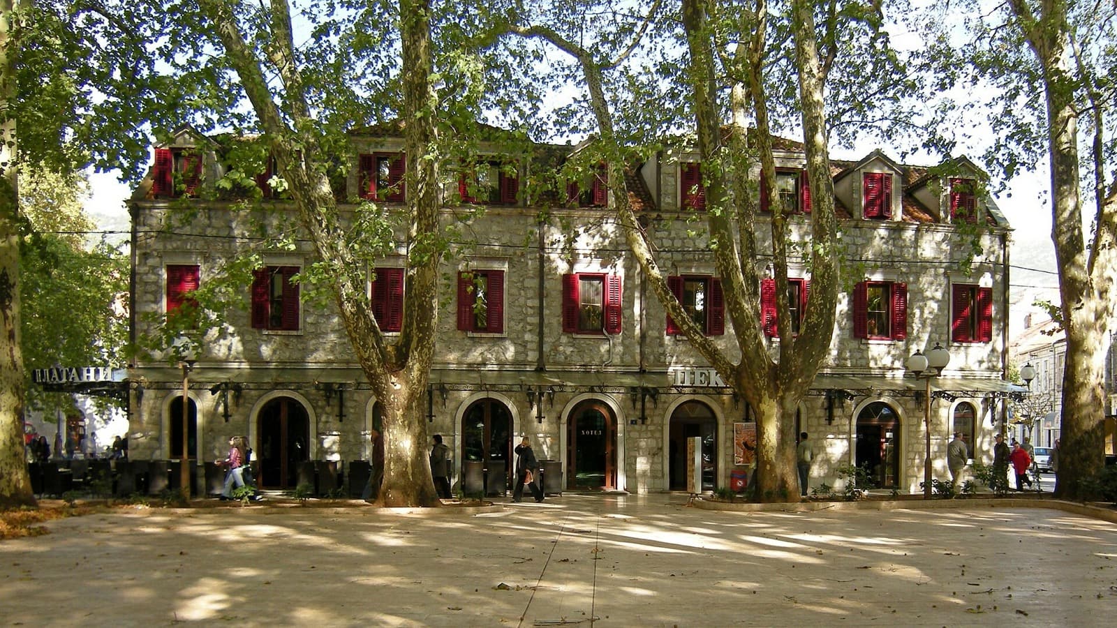
Trg slobode: The City of Sun and Plane Trees
The plane-shaded pedestrian heart of the Austro-Hungarian new town, laid out west of the Ottoman walls and ringed with cafes.
- 2
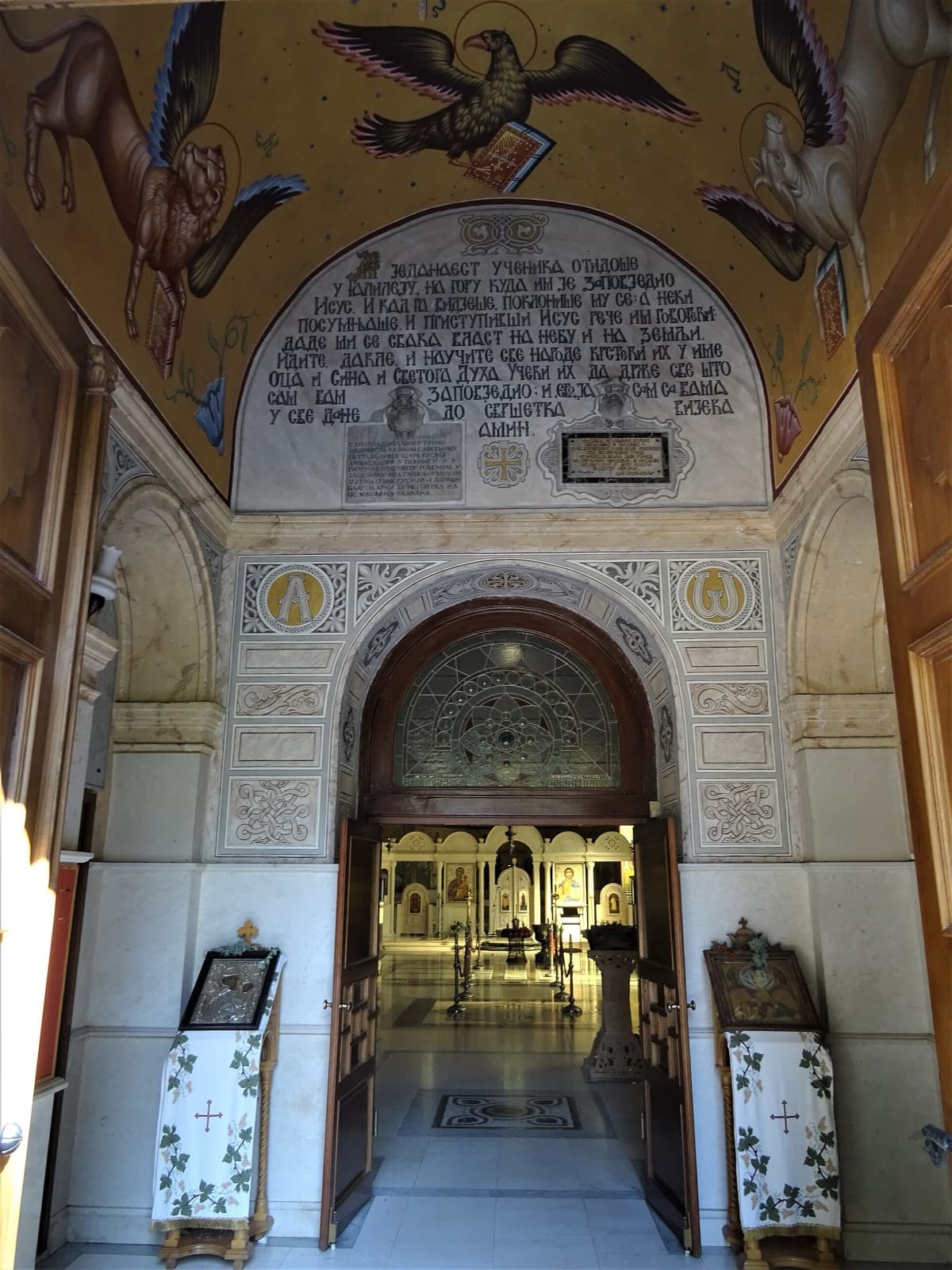
The Cathedral of the Holy Transfiguration
The Serbian Orthodox cathedral built around the turn of the twentieth century, the episcopal seat of the local eparchy, set in a small city park just off the square.
- 3
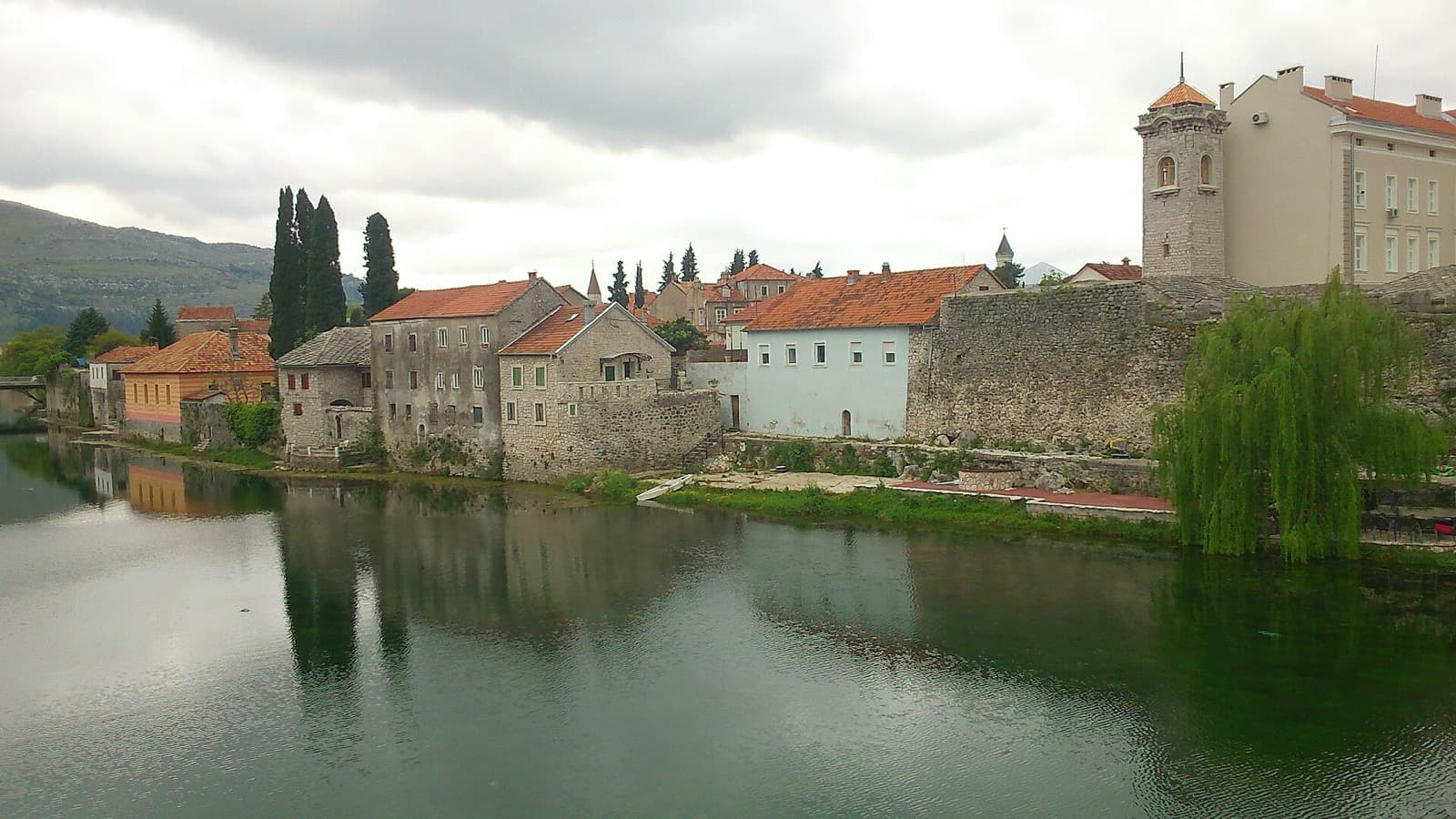
The Kastel: The Ottoman Walled Old Town
The Ottoman walled quarter begun in seventeen fourteen on the site of a medieval fortress, on the right bank above the deepest part of the river.
- 4
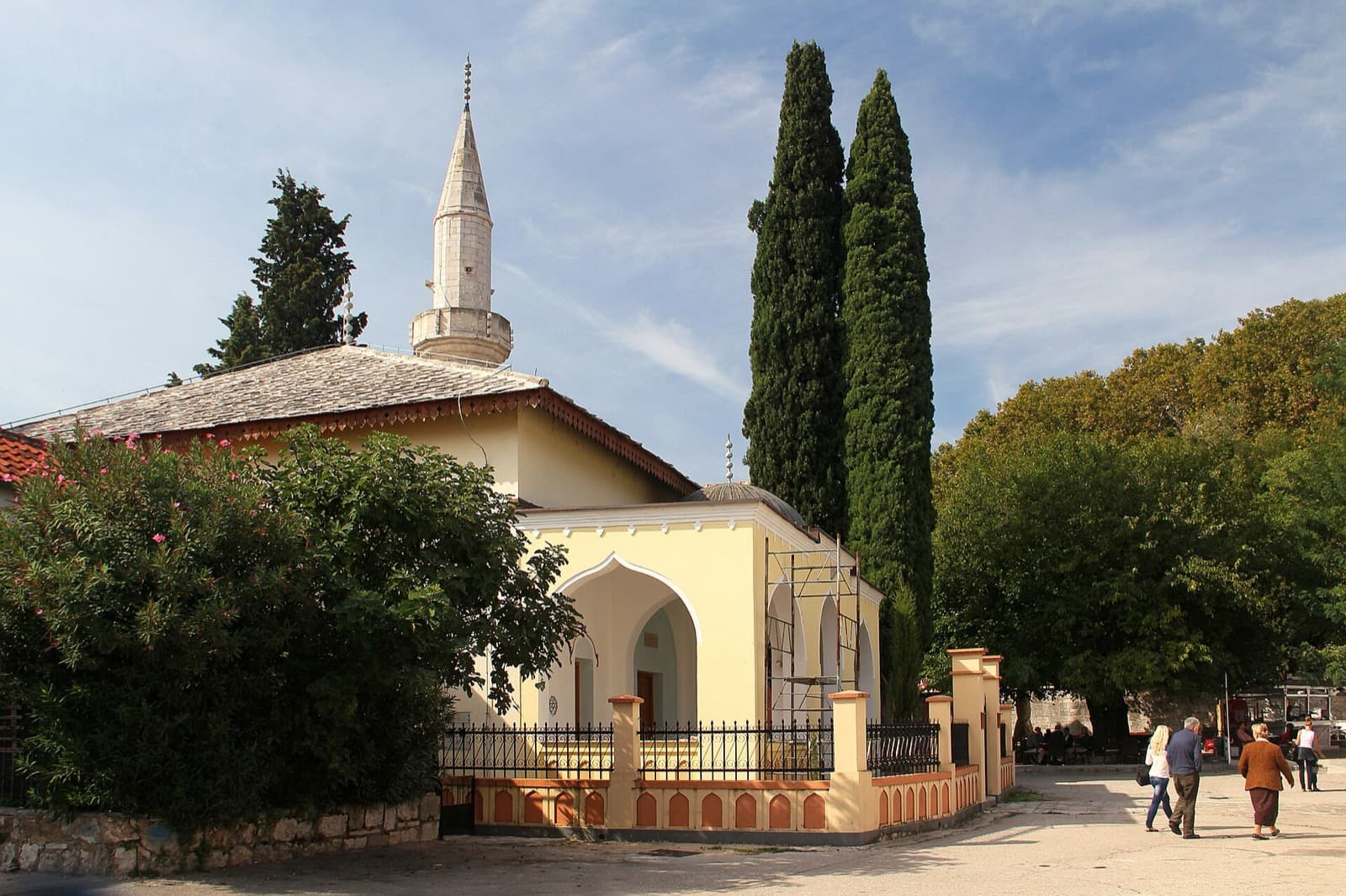
The Osman Pasha Mosque: Destroyed and Rebuilt
The principal mosque of the walled old town, built in seventeen twenty-six, deliberately destroyed in the war of the early nineteen nineties and fully rebuilt by two thousand and five.
- 5
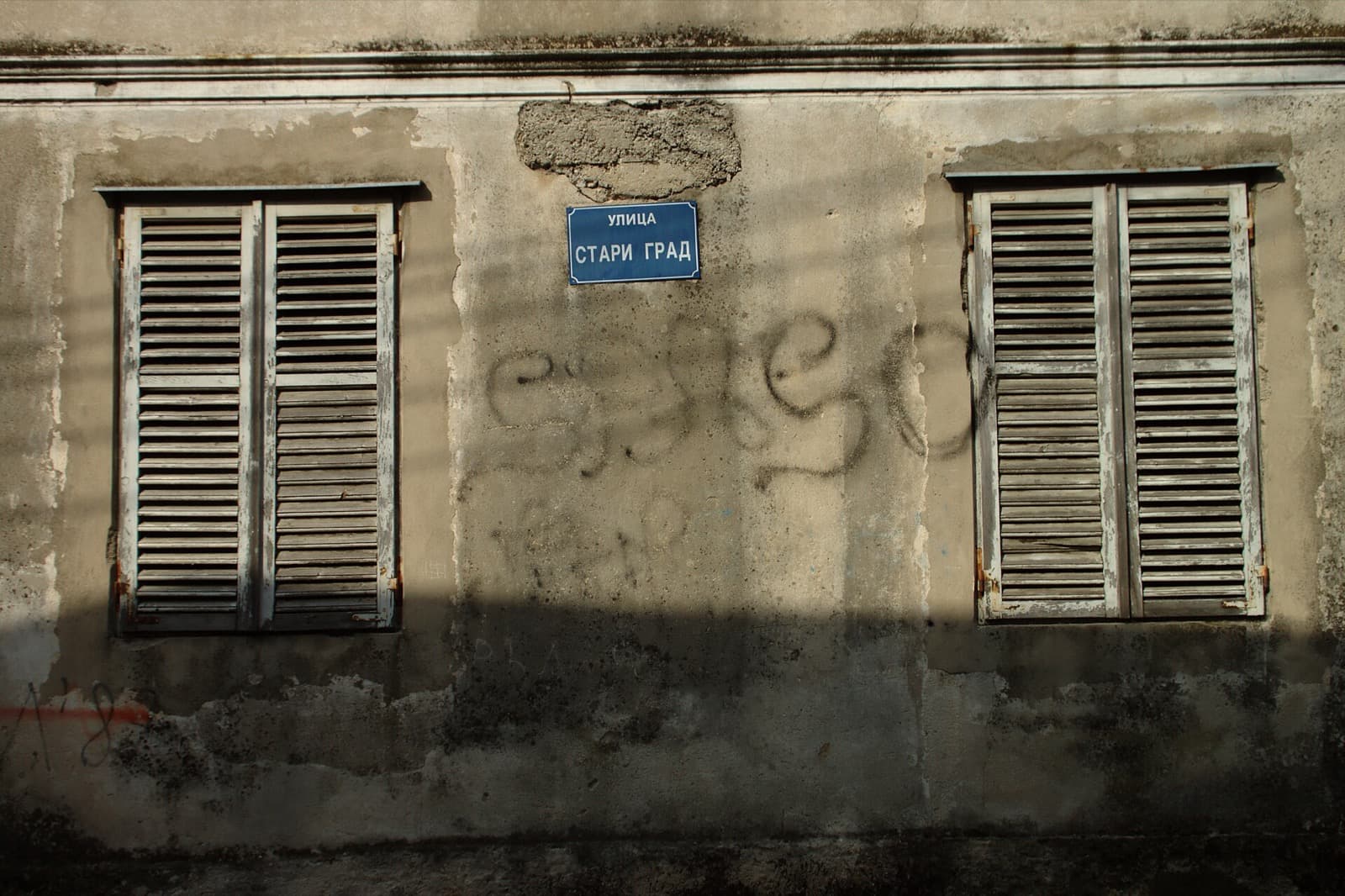
The Kastel Lanes and the Sultan Ahmed Mosque
The inner Ottoman streets and the earlier of the quarter's two mosques, the Sultan Ahmed or Emperor's Mosque, built in seventeen nineteen.
- 6
The Clock Tower: Ottoman Time in the Old Town
An Ottoman-era clock tower, a sahat-kula, raised in the early eighteenth century alongside the quarter's two mosques.
- 7
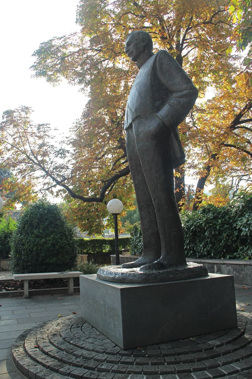
The Museum of Herzegovina: The Poet's City
The regional museum in a former Austro-Hungarian barracks by the river, holding a legacy collection tied to the poet and diplomat Jovan Ducic.
- 8
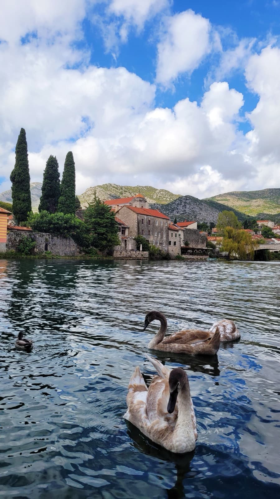
The Trebisnjica Embankment: The Sinking River
The riverside promenade along the Trebisnjica, a karst river that runs half underground, facing the Austro-Hungarian new town and leading toward the Ottoman bridge.
- 9
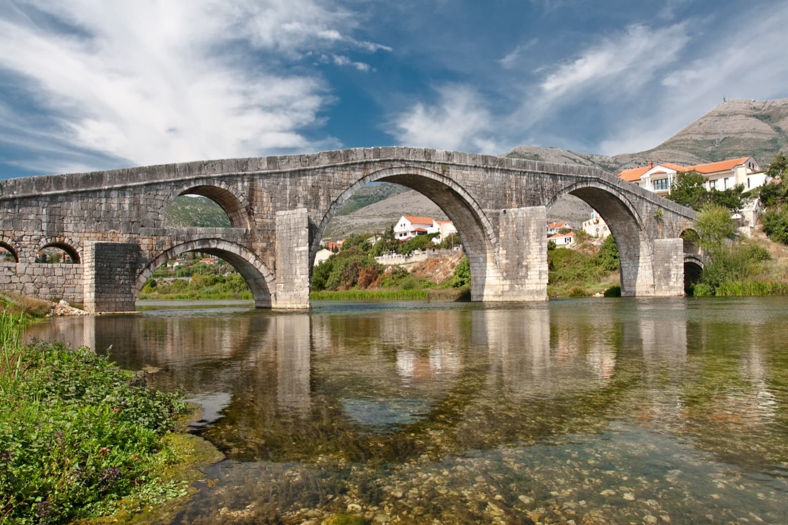
The Arslanagic Bridge: Moved Stone by Stone
A four-arched Ottoman stone bridge that was submerged by a reservoir in nineteen sixty-five, then dismantled and rebuilt at its present site in nineteen sixty-six.
Details
Best Time to Visit
Late spring and early autumn are ideal, when the southern light is warm but the heat is manageable and the plane trees on Trg slobode are in full leaf. In high summer, walk in the morning or late afternoon, since the river embankment and the walk out to the bridge are exposed with little shade. Aim to reach the mosques and cathedral outside of prayer times and services so you can enter quietly.
Pro Tips
- •Start on Trg slobode with a coffee under the plane trees to settle into the town's unhurried, Mediterranean pace before you begin reading its layers.
- •The whole core walk is compact, roughly two and a half kilometres, so you can take stops in any order and skip freely; only the river embankment and bridge sit a bit apart at the end.
- •Carry a bottle of water, especially in summer, since the stretch along the Trebisnjica river to the Arslanagic Bridge has almost no shade.
- •Time your visit to the old town's mosque and the Orthodox cathedral to avoid prayer times and services, and dress modestly so you can step inside both.
- •Bring a few convertible marks for the small admission at the Museum of Herzegovina, and check its current hours before counting on going in.
- •If you have a car and a spare hour, the hilltop monastery of Hercegovacka Gracanica and Tvrdos monastery a short distance out of town make a fine add-on, but neither is part of this flat walk.
Safety & Precautions
- •The old town's working mosque and the Orthodox cathedral are living places of worship: keep your voice low, dress modestly, remove your shoes where asked, and avoid entering during prayer times or services.
- •The Herzegovina sun is strong and the river embankment and the walk out to the Arslanagic Bridge offer little shade, so wear a hat, use sun protection, and carry water in the hot, dry summer months.
- •The old-town lanes and the Kastel have uneven cobbles and old stone paving, so wear sturdy, comfortable shoes and watch your footing.
- •Hercegovacka Gracanica sits on a steep hill and Tvrdos monastery lies a short distance outside town; both need a car or taxi and are not part of this walk. This is a living town with a mixed and sometimes difficult recent history, so treat its monuments, its faiths, and its residents with quiet respect.
Gallery
Read the walk
The full story of Historic Center: Crossroads of Empires, in words. Prefer to listen? Play it narrated, from home or on location.
Introduction
Thirty kilometres inland from the Adriatic, on the old road that once ran from Ragusa, today's Dubrovnik, up toward Constantinople, sits Trebinje, in Bosnia and Herzegovina. Empire after empire claimed this crossing and left its mark in stone. The Romans knew it as Tribulium. The Byzantines and the medieval world knew it as Travunija. The Ottomans raised a walled quarter here, and the Austro-Hungarian administration laid out a new town just west of those walls, still facing the sea and the wine country of Herzegovina all around it. This walk reads that layering, one empire at a time. Over nine stops, roughly two and a half kilometres and about ninety minutes at an unhurried pace, you will move from a plane-shaded square through an Orthodox cathedral, into the Ottoman old town and its rebuilt mosques and clock tower, past the town's museum and its poet, along a river that vanishes underground, and out to a bridge that empires and a dam could not quite erase. Stops are short and easy to skip. Take the town's coffee in the shade when you like, and let the layers accumulate at your own speed. The old town's mosque and the cathedral are living places, so quiet and modest dress are welcome. When you arrive at Trg slobode, begin with stop one.
1. Trg slobode: The City of Sun and Plane Trees
This square, Trg slobode, meaning Freedom Square, is the everyday center of Trebinje, and it is the newest layer of the crossroads you are about to read backward through time. The Austro-Hungarian administration laid out this new town west of the Ottoman walls after eighteen seventy-eight, and it planted the rows of plane trees, the platani, that shade you now. The heritage sources note something quietly telling: the trees were set on the site of a former Ottoman cemetery, one empire's ground becoming another empire's promenade. Those trees are now a protected symbol of the town, and they earned Trebinje its nickname, the city of the sun and plane-trees. Sit for a moment under them and the Mediterranean facing of this place becomes obvious. The light is southern, the coffee is slow, and the surrounding hills carry the Herzegovina wine tradition, the white Zilavka and the red Vranac, that has grown here for generations. The stone angel on its column, raised on this square, was funded by the town's own poet and diplomat, Jovan Ducic, in nineteen thirty-eight. You will meet him again later in the walk. For now, hold the long view. Long before Austria, this was Roman Tribulium on the road up from the coast, then Byzantine and medieval Travunija, then an Ottoman town behind walls. The sea is only about thirty kilometres away, and this town has always faced it and the world that came up the road from it. Everything you will see over the next couple of hours is another empire's answer to the same question: what to build at a crossroads.
2. The Cathedral of the Holy Transfiguration
A short stroll from the square, in a small park, stands the Serbian Orthodox Cathedral of the Holy Transfiguration, in the local tongue the Saborni hram Svetog Preobrazenja. It was built between eighteen eighty-eight and nineteen oh eight, of local limestone and pale marble, in a blend of Gothic and Byzantine lines that suits a town of blended layers. This is the Orthodox anchor of the modern town, and it is no small parish church. It is the cathedral seat, the episcopal see, of the Eparchy of Zahumlje, Herzegovina and the Littoral, one of the historic dioceses of the Serbian Orthodox Church whose very name still carries the old geography of this coast and its hinterland. The word hram here means the temple or cathedral church, the seat above ordinary churches, and Preobrazenje is the Transfiguration itself, the moment of light on the mountain that the building is named for. Step inside if it is open and the register changes at once. It is quiet, cool, and worked in gold, and because it is a living place of worship, modest dress and a lowered voice are simply good manners. Hold this stop lightly alongside what comes next. Within a few hundred metres you will stand inside an Ottoman mosque of the early eighteenth century. A cathedral and a mosque, an Orthodox seat and an Ottoman legacy, both damaged and both mended within living memory. That closeness is the whole town in miniature, and it is the reason this walk holds each layer with equal care.
3. The Kastel: The Ottoman Walled Old Town
Now step back one empire and one century. Ahead are the walls of the Kastel, the stari grad, meaning the old town, the Ottoman walled quarter that sits on the right bank above the deepest part of the Trebisnjica river. The Trebinje tourism authority records its beginnings clearly. Osman-pasa Resulbegovic, founder of the Resulbegovic family that would shape the town for generations, began building it in seventeen fourteen, on the site of an older medieval fortress remembered as Ban Vir. That name itself is a small piece of local memory: a vir is a whirlpool, the vortex over the deepest, most dangerous part of the river, and the ban was a legendary local lord said to have drowned there. Notice who built these walls. The craftsmen were brought in from Dubrovnik, the coastal republic just over the hills, while the labour came from the surrounding country. A crossroads town, quite literally imported from both directions at once. The quarter began roughly triangular and rounded over time, reaching its final form within the first four decades of the eighteenth century. A moat, a hendek, once linked to the river and was crossed by a drawbridge, until it was filled in by nineteen thirty-two, on a doctor's advice against disease. Today it is a National Monument of Bosnia and Herzegovina. Pass through the gate and the scale drops immediately. The lanes narrow, the stone closes in, and the sound of the modern square falls away behind you. Inside these walls stand two mosques and a clock tower, all raised in the same burst of eighteenth-century building. This is the Ottoman heart of the crossroads, and it is where the walk slows down.
4. The Osman Pasha Mosque: Destroyed and Rebuilt
This is the Osman Pasha Mosque, in the local tongue Osman-pasina dzamija, the principal mosque of the walled old town. The tourism authority records that it was built in seventeen twenty-six as Osman-pasa Resulbegovic's own legacy, raised by architects and builders brought from…
Full narration for this stop unlocks with the tour.
5. The Kastel Lanes and the Sultan Ahmed Mosque
Linger in the inner lanes of the old town for a moment before you leave it. These narrow streets carry the surviving Ottoman fabric of the quarter: Resulbegovic-era stone houses, low doorways, the shade of high walls, and the sense of a town built to a walking scale two and a…
Full narration for this stop unlocks with the tour.
6. The Clock Tower: Ottoman Time in the Old Town
Look up within the old town and you will find its clock tower, the sahat-kula. The word says exactly what it is: sahat is the hour, kula is the tower, so a sahat-kula is a clock tower, a form built in towns across the lands under Ottoman rule. The point of it was communal. In an…
Full narration for this stop unlocks with the tour.
7. The Museum of Herzegovina: The Poet's City
Near the river inside the walls stands the Museum of Herzegovina, and it sits, fittingly, in a former Austro-Hungarian barracks, another empire's building put to a new use. Inside, it gathers the history of Herzegovina from prehistory forward, and it holds a legacy collection…
Full narration for this stop unlocks with the tour.
8. The Trebisnjica Embankment: The Sinking River
Out along the right bank runs the promenade beside the Trebisnjica river, and this water is stranger than it looks. The Trebisnjica is a karst river, a sinking river, running through porous limestone country. It is roughly one hundred eighty-seven kilometres long, yet about half…
Full narration for this stop unlocks with the tour.
9. The Arslanagic Bridge: Moved Stone by Stone
Here, about a kilometre and a quarter from the town center, stands the walk's last stone: the Arslanagic Bridge, also called Perovica most, an Ottoman bridge whose profile steps across the Trebisnjica on two large arches flanked by smaller ones, between the settlements of…
Full narration for this stop unlocks with the tour.
- Trg slobode — Pajomm, CC BY-SA 4.0 · source
- Cathedral of the Holy Transfiguration — Jadrankadz, CC BY-SA 4.0 · source
- Kastel (Old Town) — Mehmedenis, CC BY-SA 3.0 · source
- Osman Pasha Mosque — BrankaVV, CC BY-SA 4.0 · source
- Sultan Ahmed (Emperor's) Mosque — Wikimedia Commons contributor, CC BY 3.0 · source
- Museum of Herzegovina — BrankaVV, CC BY-SA 4.0 · source
- Arslanagic Bridge — Christopher Hylarides, CC BY-SA 3.0 · source
Images may be cropped or resized. Other photos via Unsplash and Pexels.