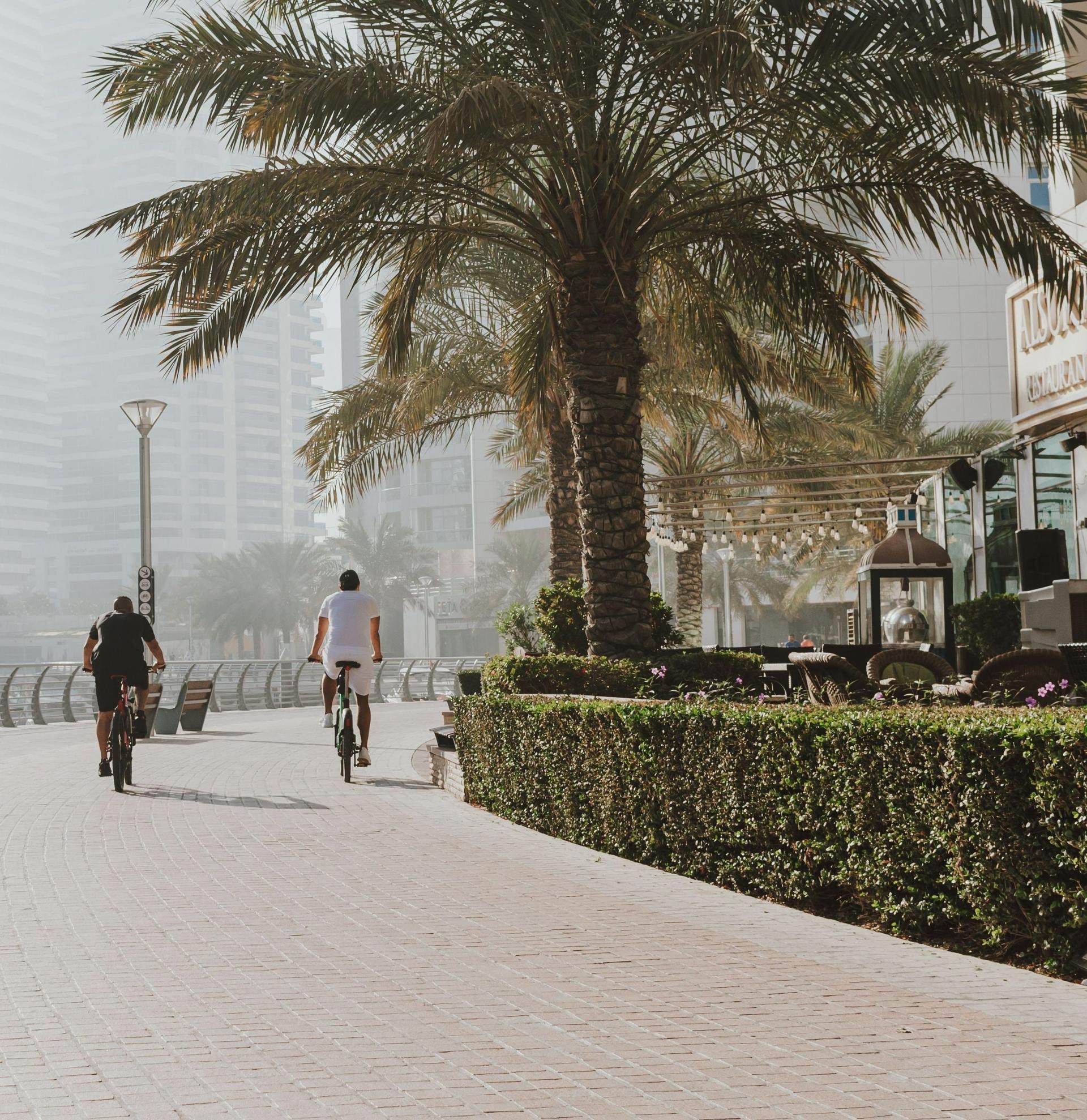
From Marina Walk down the marina's waterside promenade past Cayan Tower's twist, the supertalls, the dug channel, the tram bridge and Pier 7, over the Al Gharbi bridge into JBR, along The Walk and The Beach to the sand facing Bluewaters and Ain Dubai.
Start · Marina Walk: A Tower That Turns
DirectionsStops
- 1
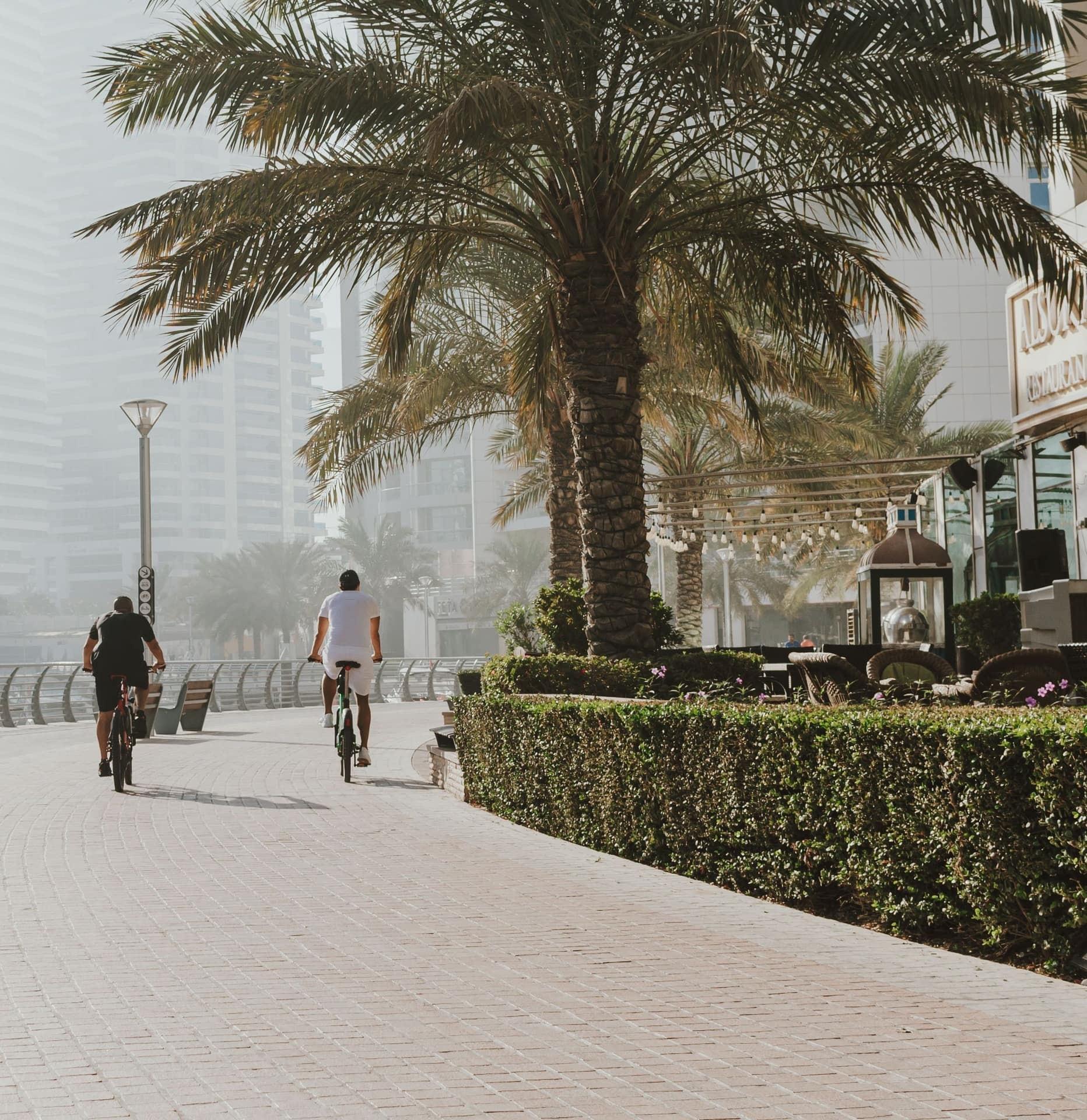
Marina Walk: A Tower That Turns
A tower that turns as it rises. The Marina promenade by the yacht pontoons, facing Cayan Tower across the basin: 307 m, 75 floors, finished in 2013, with a full quarter turn from bottom to top.
- 2
Supertall Row: Homes Above 400 Meters
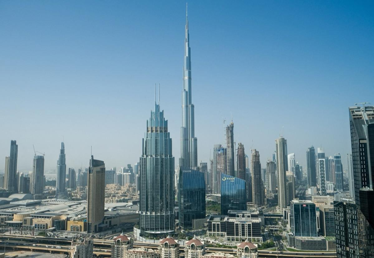
Homes stacked higher than 400 m. The bend in the promenade by the Dubai Marina letters, looking back up the basin to the row of residential supertalls that includes Princess Tower (full height 2012).
- 3
Marina Canal: Dug From the Sand
This water was dug out of sand. Where the basin narrows into the long channel: excavated from December 1998, kept dry by pumps while about 15,000 concrete blocks went in as sea walls.
- 4
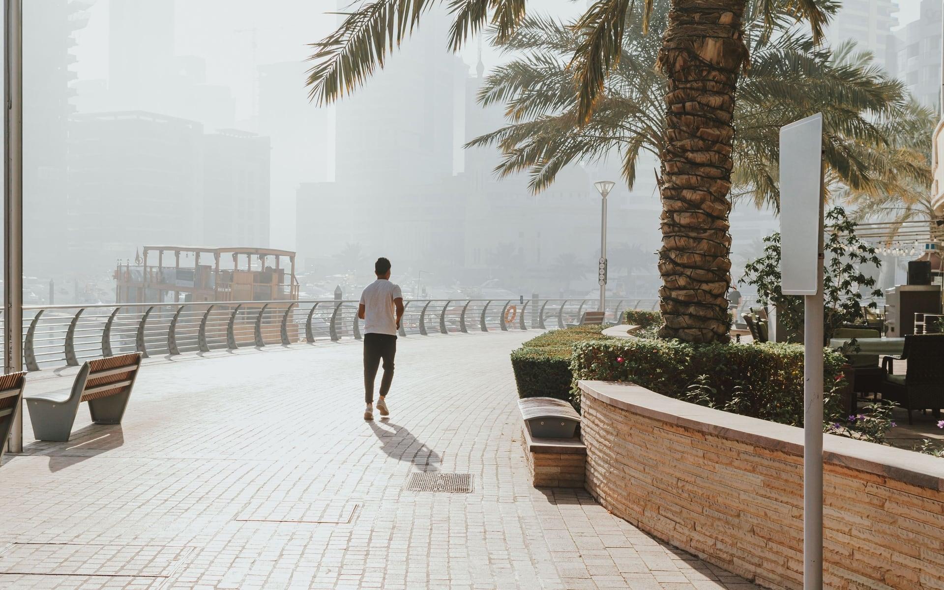
Elemreef Underpass: A Path Under the Roads
A public path under private towers. Just past the Elemreef Street underpass, where the promenade runs beneath a road bridge at the water's level; the marina took Vancouver's False Creek as its inspiration.
- 5
Tram Bridge: No Overhead Wires
A tram that runs without wires. Short of the road and tram bridges across the marina: the Dubai Tram, opened in November 2014, which its builder called the first line in the world with no overhead wires.
- 6
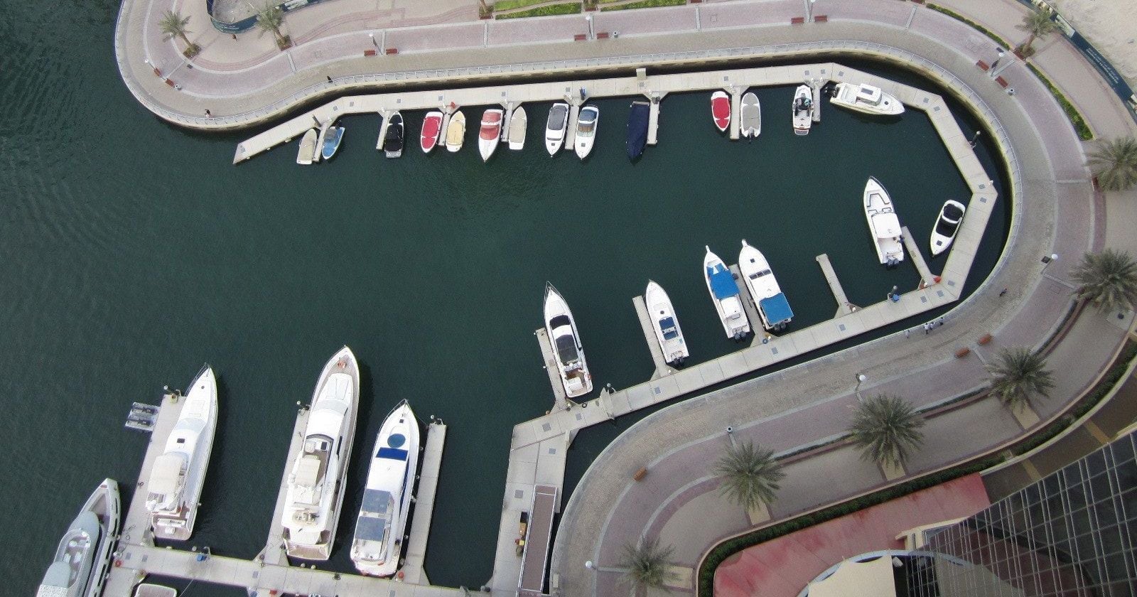
Dubai Marina Mall: Boats by Timetable
Where boats and water buses dock. The promenade outside Dubai Marina Mall, opened by Emaar in December 2008, beside its small harbor and the public water bus and ferry stops; the walk stays outside.
- 7
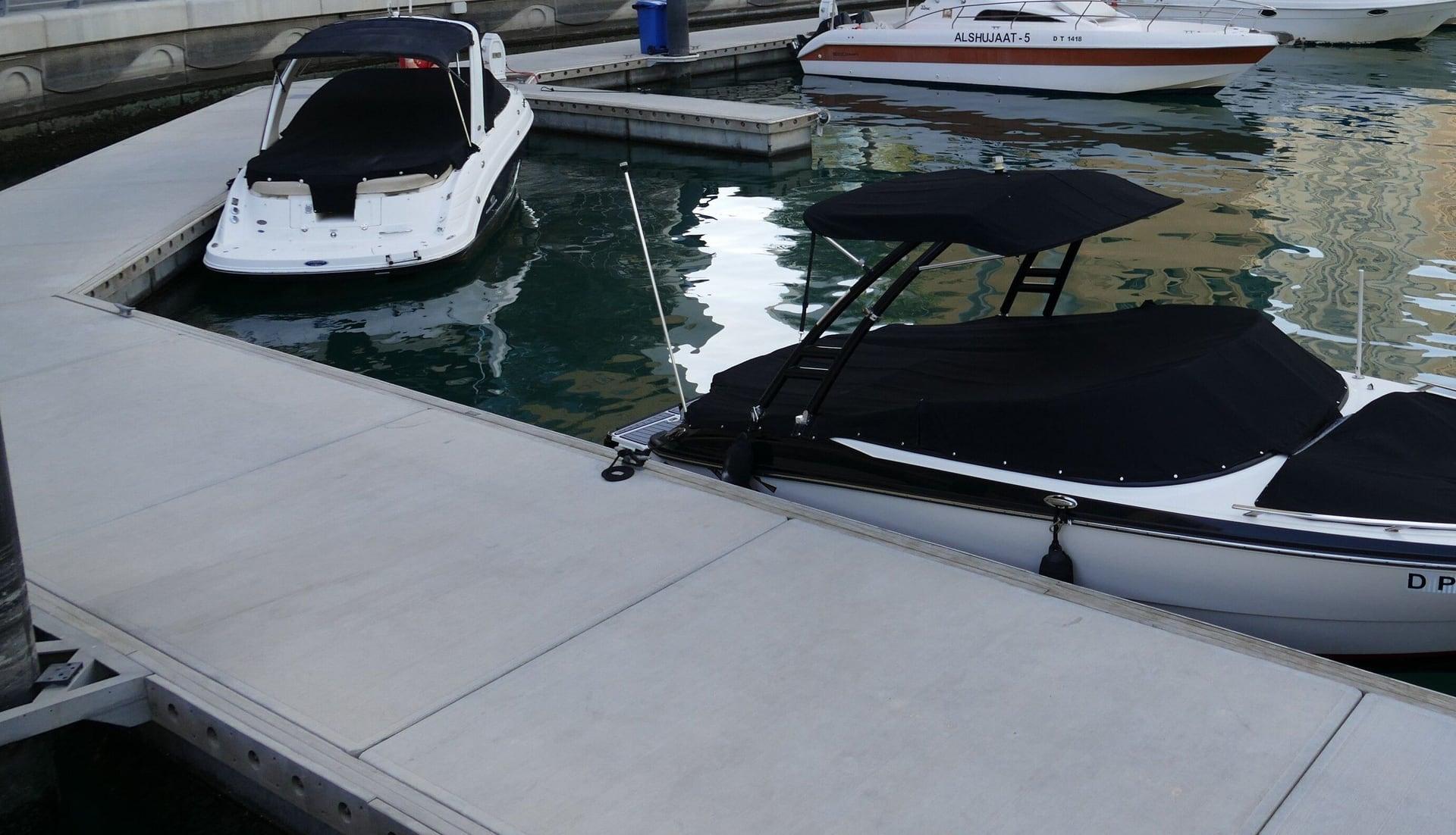
Pier 7: A Round Tower on the Water
A round tower that is all view. The promenade at the landing of the glass walkway to Pier 7, a round restaurant tower on a private pier, planned with the mall as a seven-story dining tower.
- 8
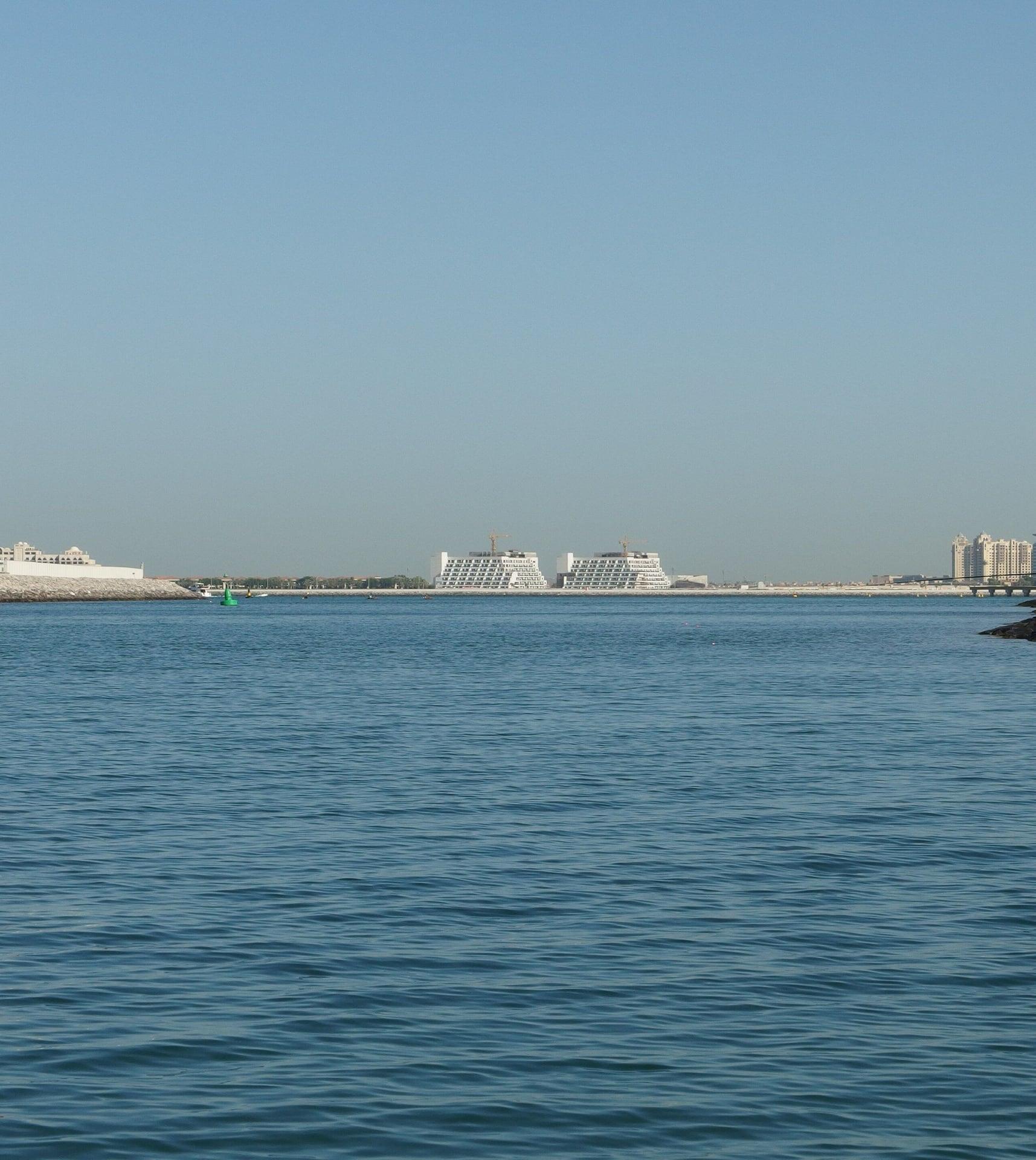
Al Gharbi Bridge: Toward the Sea Mouth
The marina narrows toward the sea. The promenade's end beneath the Al Gharbi Street bridge, looking down the channel toward its sea mouth, with the towers of Jumeirah Beach Residence across the water.
- 9
Jumeirah Beach Residence: A Wall of Towers
A wall of towers on the beach road. The foot of RTA's 2020 footbridge over King Salman bin Abdulaziz Al Saud Street and the tram, facing the more than 40 residential towers of Jumeirah Beach Residence.
- 10
The Walk: A High Street at the Towers' Feet
A high street at the towers' feet. The corner of Al Gharbi Street and The Walk, JBR's cobbled street of shops and cafes, about 1.7 km long and busiest after dark.
- 11
The Beach: Shops Built on the Sand
Shops and cafes built on the sand. The entrance to The Beach JBR, a low open-air strip of restaurants, shops and walkways in front of the towers; free public access, outlets open from 10 am.
- 12
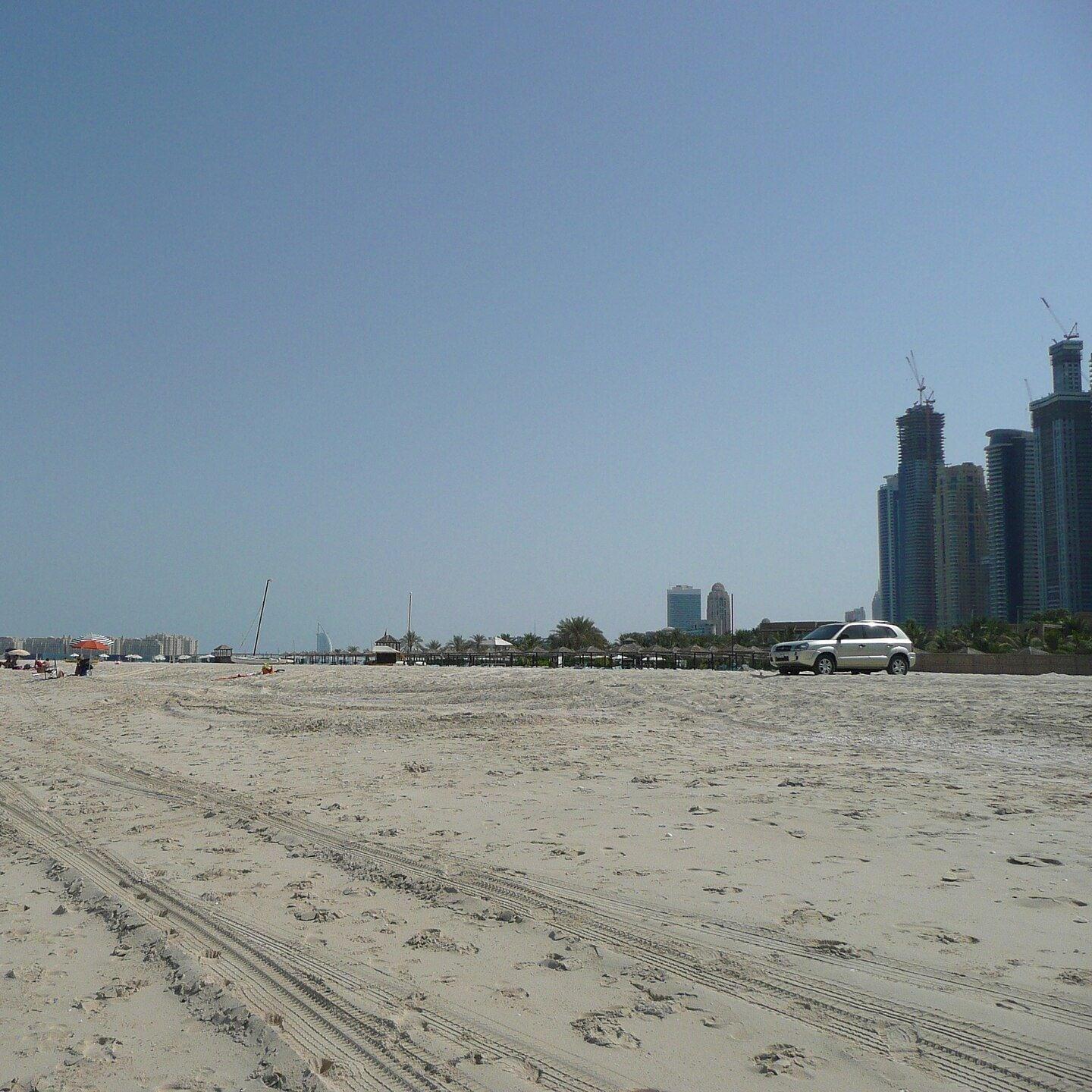
JBR Beach: The Open Gulf
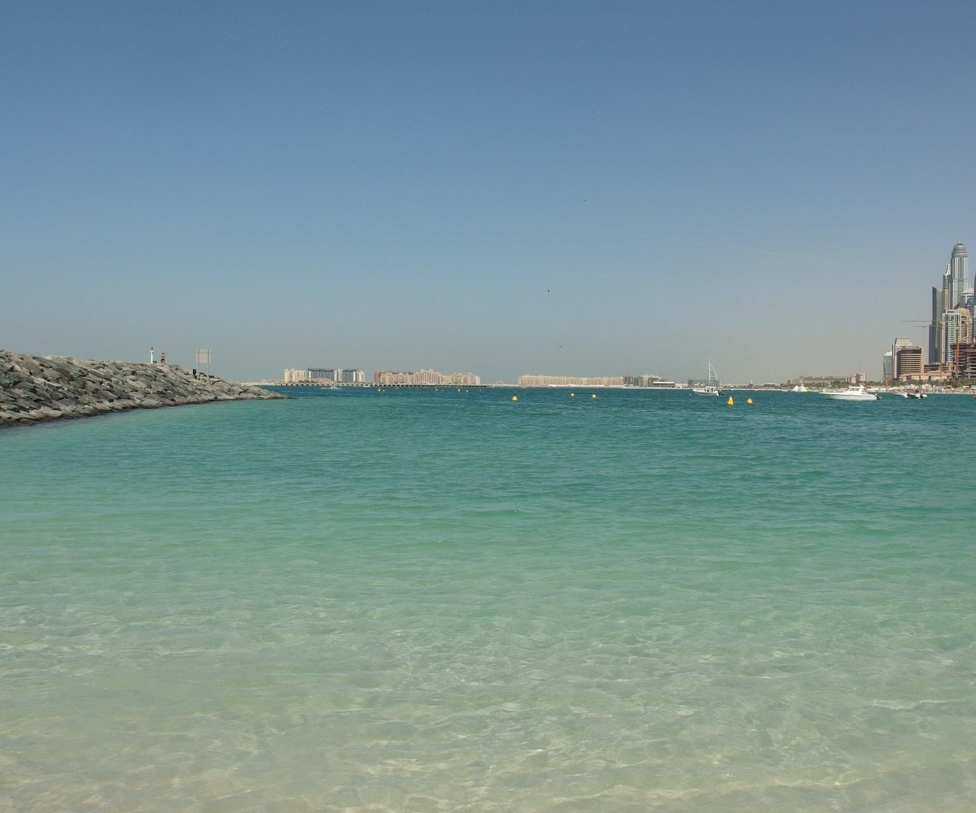
Public sand and the open Gulf. The head of the public beach beside the running track, with the Arabian Gulf ahead and Bluewaters offshore: the same sea that fills the marina.
- 13
Bluewaters View: The Wheel Offshore
A giant wheel across the water. The end of the beach path, facing Bluewaters and Ain Dubai, a wheel more than 250 m tall with 48 cabins, closed since March 2026 with no reopening announced.
Details
Best Time to Visit
November to March only; the walk is too hot for comfort in summer. Best in the morning, when the towers shade the promenade on this side of the marina, or in the last two hours before sunset, when the walk ends facing the sea (sunset about 5:35 pm in November and December, about 6:10 pm in mid February). After midday the promenade, the Al Gharbi bridge and the beach path are in full sun. The promenade, The Walk and the beach are open ground at all hours and lively after dark. Checked 10 November 2026.
Pro Tips
- •Start on Marina Walk, the promenade at the head of Dubai Marina by the yacht pontoons and the Marina Walk water bus stop, facing Cayan Tower across the water.
- •Getting there: Dubai Tram to Marina Towers, about 300 m from stop 1. From the Red Line, ride to Sobha Realty (R36), then the tram one stop from Dubai Marina to Marina Towers, or walk about 800 m. Water bus BM1 stops at Marina Walk. Checked 10 November 2026.
- •Getting home: the tram stop Jumeirah Beach Residence 2 is about 350 m from stop 13; ride to Jumeirah Lakes Towers for the Red Line at DMCC (R37). Jumeirah Beach Residence 1 is about 400 m from stop 10. Last tram from Jumeirah Beach Residence 2 toward Jumeirah Lakes Towers 0:45 (Sunday 0:41); the last Red Line trains from DMCC toward the city leave about 23:05, about 0:09 on Friday nights (rta.ae timetable PDF dated 25 September 2026). Checked 10 November 2026.
- •Dubai Tram hours: Monday to Saturday 6:00 to 1:00, Sunday 9:00 to 1:00 (rta.ae). Several Red Line stations carry sponsors' names: Sobha Realty was Dubai Marina, DMCC was Jumeirah Lakes Towers. Checked 10 November 2026.
- •To visit Bluewaters, RTA's water bus BM3 and ferry FR2 leave from the Dubai Marina Mall waterfront (stop 6). Ain Dubai has been closed since March 2026 with no reopening announced; check aindubai.com before planning a ride. Checked 10 November 2026.
- •The Beach JBR (stop 11) is free to enter; its shops open 10:00 to 23:00 Sunday to Thursday and 10:00 to midnight Friday and Saturday, restaurants later; hours change on public holidays. Checked 10 November 2026.
- •Next: our Downtown Dubai walk starts near Burj Khalifa / Dubai Mall station, on the Red Line from DMCC. Our Jumeirah beach walk is a short taxi ride along the coast.
Safety & Precautions
- •Between stops 8 and 9 the route climbs the sloping sidewalk beside the road and doubles back across the marina on the Al Gharbi Street bridge (about 530 m, no shade), then comes down into JBR on RTA's footbridge over King Salman bin Abdulaziz Al Saud Street and the tram. The footbridge has lifts, escalators and a stair; lifts and escalators can be out of service. The walk is not guaranteed step-free.
- •Heat and sun: carry water and a hat, and avoid the middle of the day. The bridge and the beach path have no shade, and the paving and sand get hot underfoot on sunny afternoons.
- •Road crossings: cross only at marked crossings (the zebras on Al Gharbi Street and across The Walk between stops 9 and 11). Watch for cars at the car-park entrance at the foot of the footbridge. Jaywalking is fined in Dubai.
- •GPS: the towers reflect phone signals, especially at stops 2, 9 and 10, and the map can drop for a moment in the covered passage between stops 6 and 7. Keep the water beside you on the marina and orient by the street in JBR.
- •Ask before you photograph anyone, especially women and families: UAE law protects people's privacy in photos. Do not fly a drone; drones need a permit in Dubai.
- •Dress: swimwear on the sand only. The Beach JBR asks for respectful clothing in its dining, entertainment and retail areas, and allows no pets, skateboards or electric scooters (thebeach.ae courtesy policy). Checked 10 November 2026.
- •Swimming: swim only inside marked areas while lifeguards are on duty, and never under a red flag. This walk does not ask you to swim.
- •Ramadan 2027 is expected to begin around 8 February 2027 (subject to moon sighting): avoid eating or drinking openly in the street in daylight, and expect shop and restaurant hours to shift. Checked 10 November 2026.
- •Pier 7, the waterfront restaurant terraces and Dubai Marina Mall are private or customers-only; the walk stays on the public promenade. On weekend evenings The Walk and the promenade get crowded.
Travel advisory: Reconsider Travel (Level 3).
Gallery
Related Reading
Go deeper on what you'll see, hear, and walk through.
Read the walk
The full story of Dubai Marina and JBR: A Sea Dug Into the Desert, in words. Prefer to listen? Play it narrated, from home or on location.
Introduction
Dubai Marina is a sea dug into the desert. At the end of nineteen ninety eight, this ground was sand behind the beach. The sand was dug out, sea walls went in, the water came in to fill a long channel, and towers rose along both banks. Everything on this walk stands at the edge of water that was sand less than thirty years ago.
There are thirteen stops over about three and a half kilometers, a little over two miles, and it takes about ninety minutes. It is flat. Most of it follows the marina's waterside promenade, which passes under three bridges, so you cross no road for a long way. Then you cross the marina on a road bridge and come down into Jumeirah Beach Residence by the footbridge over King Salman bin Abdulaziz Al Saud Street and the tram. That footbridge has lifts, escalators and a stair. The walk finishes on the beach, facing the island of Bluewaters.
The sun is strong even in winter, and after midday there is little shade on the promenade, the bridge or the beach. Bring water and a hat. Go in the morning, when the towers shade the promenade, or in the last two hours before sunset.
To reach the start, take the Dubai Tram to Marina Towers, or the Red Line to Sobha Realty station and the tram one stop on. When you arrive at Marina Walk, begin with stop one.
1. Marina Walk: A Tower That Turns
Marina Walk is the promenade along the water at the head of Dubai Marina. In front of you are the yacht pontoons and the open basin. Across the water, the tower that seems to turn as it rises is Cayan Tower.
It stands three hundred and seven meters tall, with seventy five floors, and it was finished in twenty thirteen. From bottom to top it makes a full quarter turn. Every floor has the same shape, but each is set a little over one degree around from the floor below, all of them turning about a concrete core. Stack seventy five of them and the tower twists ninety degrees. Follow the edges of the floors up the face and you can watch the turn happen.
Its architects say the twist does more than look good: by their account, it catches less wind and takes in less heat from the sun than a straight block of the same height.
Behind you, the towers on this side of the basin came earlier. In September two thousand and three, the developer, Emaar, said three of them were ready for people to move in, the first half of the marina's first phase of homes.
All of these towers face the water, and this walk follows that water to the sea: first the towers, then the channel dug for it, then the beach where it meets the open Gulf.
Follow the route along the promenade, past the yachts. Next is a row of even taller towers.
2. Supertall Row: Homes Above 400 Meters
Walk on to the bend in the promenade, by the big Dubai Marina letters, and stop there. Then turn and look back up the basin, past the yachts, to the far end of the water. Above the road at the head of the basin rises a row of towers even taller than Cayan, which you can still pick out, turning, among them.
The tallest buildings here are not offices. They are homes. One of the towers in that row is Princess Tower. When it reached its full height in twenty twelve, about four hundred and fourteen meters, its developer, Tameer, called it the tallest residential building in the world.
That is the logic of this whole district. The marina was planned as a waterfront to live on, and the higher the apartments are stacked, the more of them look out over the water. The view is what these towers sell, and the water is what makes the view.
From down here, the skyline is only half the place. The other half is the promenade under your feet, open to everyone at any hour, with the water a step away. In the evening, with the towers lit, this bend is a good place to take in the whole basin at once.
The towers can bounce your phone's signal around, so if the map jumps, trust the water: the route keeps it beside you all the way to the end of the marina.
Follow the route along the promenade. Next, the basin narrows into a channel.
3. Marina Canal: Dug From the Sand
Walk on to where the basin narrows, and stop there. Ahead, the open water pinches into a long channel running away between the towers. Hold that picture, because none of this water was here at the end of the last century.
This is not land won from the sea. It is the other way around: the sea was let into the land. Work began in December nineteen ninety eight. The excavation site was about three and a half kilometers long, and some five point seven million cubic meters of sand came out of it. To keep the hole dry while the work went on, pumps sent water back to the sea at more than two million gallons a day.
Then came the walls. A newspaper report from February two thousand and three, when the marine walls were finished, counted about fifteen thousand concrete blocks, each up to forty two metric tons, set along the banks. An engineering firm, Halcrow, designed the walls and supervised the work. The channel averages about three and a half meters deep, and it is deepest at its two ends, where it meets the Gulf.
So the order of work was this: dig, keep it dry with pumps, build the sea walls, and only then let the sea in. Every tower on these banks stands behind those walls. The edge you are walking beside is a sea wall built for a sea that never used to reach this far.
Look along the channel now and picture it as a trench in the sand, with the pumps running.
Follow the route along the promenade. Soon it ducks under a road bridge.
4. Elemreef Underpass: A Path Under the Roads
Walk on, out of the shade of the underpass, and stop by the water. Look back at what you just walked through. A road, Elemreef Street, crosses the marina on that bridge, and the promenade simply runs underneath it, at the water's level. You did not have to cross the traffic. Before the end of the marina you will pass under two more bridges the same way.
That is a design decision, and it holds this place together. The towers around you are private buildings, each behind its own front door. What joins them is this path along the water, public and open at every hour, threaded beneath the roads and along the foot of the towers.
Dubai Marina's opening ceremony was held in October two thousand. The developer, Emaar, took its inspiration from False Creek, in Vancouver, Canada. Here the plan promised about eight kilometers of landscaped paths beside the water, in a district planned for about a hundred and twenty thousand residents.
Watch how the promenade behaves. Restaurant terraces open onto it, some of them only for customers, but the path itself runs on past every building without a gate.
Follow the route along the water. Next is the tram, crossing overhead.
5. Tram Bridge: No Overhead Wires
Walk on and stop short of the bridges ahead. Two cross the marina here: a road bridge, and beside it the bridge that carries the Dubai Tram. Wait for a tram to cross, and look above it. There is nothing there. No overhead wires, and no poles strung along the bridge to carry…
Full narration for this stop unlocks with the tour.
6. Dubai Marina Mall: Boats by Timetable
Walk on along the front of the mall and stop by the water. The large building beside you is Dubai Marina Mall, and the small harbor in front of it is where the marina's boats come and go. Emaar opened the mall in December two thousand and eight. This walk stays outside, on the…
Full narration for this stop unlocks with the tour.
7. Pier 7: A Round Tower on the Water
Walk on to where a glass walkway leaves the promenade toward the water, and stop there. At the end of it, out on the water, stands a round tower. That is Pier Seven. It is private. The pier and the tower are for restaurant customers, so this stop is the view from the…
Full narration for this stop unlocks with the tour.
8. Al Gharbi Bridge: Toward the Sea Mouth
Walk on to the end of the promenade, where it meets the next bridge, and stop by the water. Just ahead, the Al Gharbi Street bridge crosses overhead. Look along the water past it. The marina narrows here on its way to the sea, and across the water stand the towers of Jumeirah…
Full narration for this stop unlocks with the tour.
9. Jumeirah Beach Residence: A Wall of Towers
You may still be up on the footbridge as this begins. Take the lift or the escalator down to the street, or the stair if you prefer, and stop at the foot, with the footbridge behind you. Take one look back at it before you go. The Roads and Transport Authority opened this…
Full narration for this stop unlocks with the tour.
10. The Walk: A High Street at the Towers' Feet
Walk on to the corner, where a street opens out ahead of you, lined with shopfronts and cafe tables. This is The Walk. It is a high street at the feet of towers. Look up and you see apartments, floor after floor. Look straight ahead and you see a shopping street at human…
Full narration for this stop unlocks with the tour.
11. The Beach: Shops Built on the Sand
Watch for the opening toward the sea between the low buildings on the beach side of the street. Turn into it, walk on to the entrance of The Beach, and stop there, with the sea ahead of you. This open air strip of restaurants, shops and walkways was built on the sand in front…
Full narration for this stop unlocks with the tour.
12. JBR Beach: The Open Gulf
Walk on to the head of the beach, where the paving meets the sand, and stop there. Ahead is the Arabian Gulf. Out on the water, off to one side, is an island with a giant wheel on it. That is Bluewaters, and the last stop looks straight at it. This is a public beach, open to…
Full narration for this stop unlocks with the tour.
13. Bluewaters View: The Wheel Offshore
Walk on to the end of the beach path and stop there, facing the sea. Across the water lies the island of Bluewaters, and on it the great wheel, Ain Dubai: an observation wheel more than two hundred and fifty meters tall, with forty eight cabins. Its story so far has been one of…
Full narration for this stop unlocks with the tour.
- Dubai Marina — Ankur Panchbudhe, CC BY 2.0 · source
- Exiting the Marina @ Yellow Boats Tour @ Dubai Marina — Guilhem Vellut from Annecy, France, CC BY 2.0 · source
- This illustation is part of the Images from UAE in Lens Competition — Guilhem Vellut, CC BY 2.0 · source
Images may be cropped or resized. Other photos via Unsplash and Pexels.