Visitors who arrive in Toronto expecting a grand old square or a single postcard view often spend the first afternoon looking for the city. Toronto does not present itself that way. Its history is in layers: a shoreline pushed into the lake, houses that grew shops over their front yards, a factory kept whole and turned into a pedestrian district. The habit that ties them together is simple. Toronto tends to add to what is already there rather than clear it away. Three walks show that habit best, and a few side trips fill in the rest.
Walk one: Old Town, the first ten blocks
The Town of York, which became Toronto in 1834, was laid out in 1793 as ten blocks east of what is now George Street. The City's heritage plan for the St. Lawrence neighbourhood says the original street grid of those blocks is still legible, and so is the continuous use of the church and market on the land the town reserved for them.
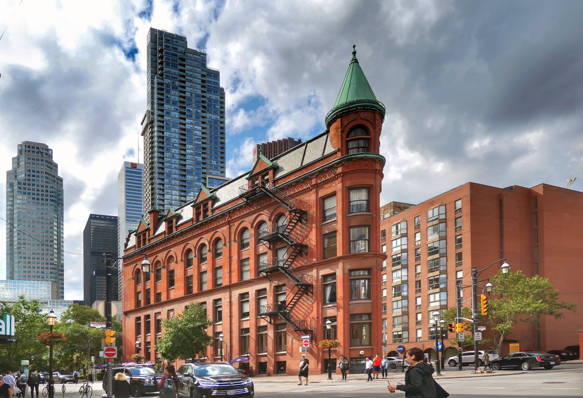
The fire of 1849 shaped what you see. It destroyed the church and the market and city hall, which were rebuilt as St James Cathedral, opened in 1853, and St Lawrence Hall. The St Lawrence Market has been on its site since 1803; the present South Market, finished in 1904, wraps around what is left of the 1845 City Hall's council chamber. East of the old town, Ontario's first parliament buildings stood near Front and Parliament Streets. American troops set fire to them in 1813, and today the site is behind construction hoarding for a new subway station.
Further east is the Gooderham and Worts distillery. By the mid 1870s, the Dictionary of Canadian Biography says, its workers were producing one of every three gallons of proof spirits made in Canada. The plant closed in 1990, and the complex reopened as the pedestrian Distillery District in 2003. Its oldest building, the limestone Stone Distillery of 1859 to 1861, is set at an angle, parallel to a shoreline that is no longer there.
The Old Town walk covers all of this in eleven stops over about three kilometres, about 110 minutes at an easy pace, from St James Cathedral to Tank House Lane in the Distillery. For the factory, read The Distillery District: Preservation as a Verb and The Stone Distillery: Older Than Canada.
Walk two: Kensington Market and Chinatown, adding on
Hear a stop from this walk
Tank House Lane: Buildings for Waiting
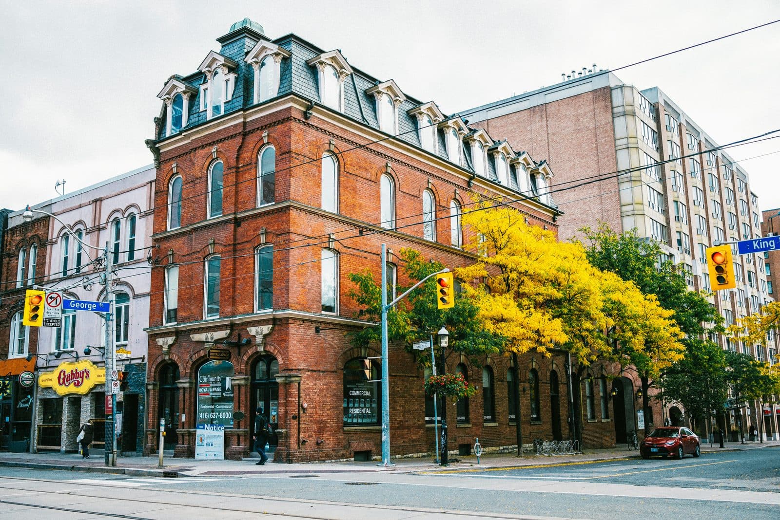
Kensington Market was a neighbourhood of houses. With no zoning until 1952, families turned front rooms into stores and front yards into shops, and each new community, Jewish, then Hungarian and Portuguese, then arrivals from China, Vietnam, Latin America and the Caribbean, took over the buildings of the last. Look up for the house, down for the shop. Parks Canada made the market a National Historic Site in 2006.
Next door, the Chinatown on Spadina is Toronto's second. The first, east of University Avenue, was largely demolished in the 1950s and 1960s for the new City Hall and Nathan Phillips Square, and businesses moved west along Dundas. In 1969 Jean Lumb and the Save Chinatown Committee fought to keep what was left of the old Chinatown, about a kilometre east.
The walk ends with the same habit at a larger scale: Frank Gehry's glass front for the Art Gallery of Ontario, built over the existing gallery, OCAD's Sharp Centre lifted on stilts above the older school, and finally the Grange, a brick house begun in 1817 that became the art museum's first home. The Kensington Market and Chinatown walk is eleven stops over about 1.8 kilometres, about 85 minutes. For the history, read Kensington Market: How the Houses Became Shops and The Kiever Synagogue.
Walk three: the waterfront, made ground
Lake Ontario's original edge ran roughly along Front Street. Since the 1850s, Waterfront Toronto says, the shore has been filled almost a kilometre south, first for railways and docks and only much later for parks. Union Station, finished in 1927, was slated for demolition in the 1968 Metro Centre plan until a public fight saved it. The CN Tower went up in the 1970s because the city's new office towers were blocking broadcast signals. South of the expressway, the old slips now hold wooden WaveDecks and a city beach.
The CN Tower and the Waterfront walk is nine stops over about two and a half kilometres, about 85 minutes, from Union Station to the Jack Layton Ferry Terminal. For more, read CN Tower: Built Because the Skyline Blocked the Signal and Who Got to Decide: Toronto's Waterfront.
Side trips the walks point to
- The Toronto Islands. The waterfront walk ends where the island ferries leave. On Ward's and Algonquin Islands, a village of homes survived the plan to make the whole chain a park. Read Ward's and Algonquin: The Island Village That Refused to Leave.
- The PATH and the bank towers. A few minutes north of Union Station, more than 30 kilometres of private walkways run under the financial district, beneath towers led by Mies van der Rohe's TD Centre. Read Two Downtowns, Stacked.
- Casa Loma. A separate, ticketed visit on the hill north of downtown: a castle built with an electricity fortune and taken by the City for back taxes in 1933. Read Casa Loma: E.J. Lennox's Castle on the Hill.
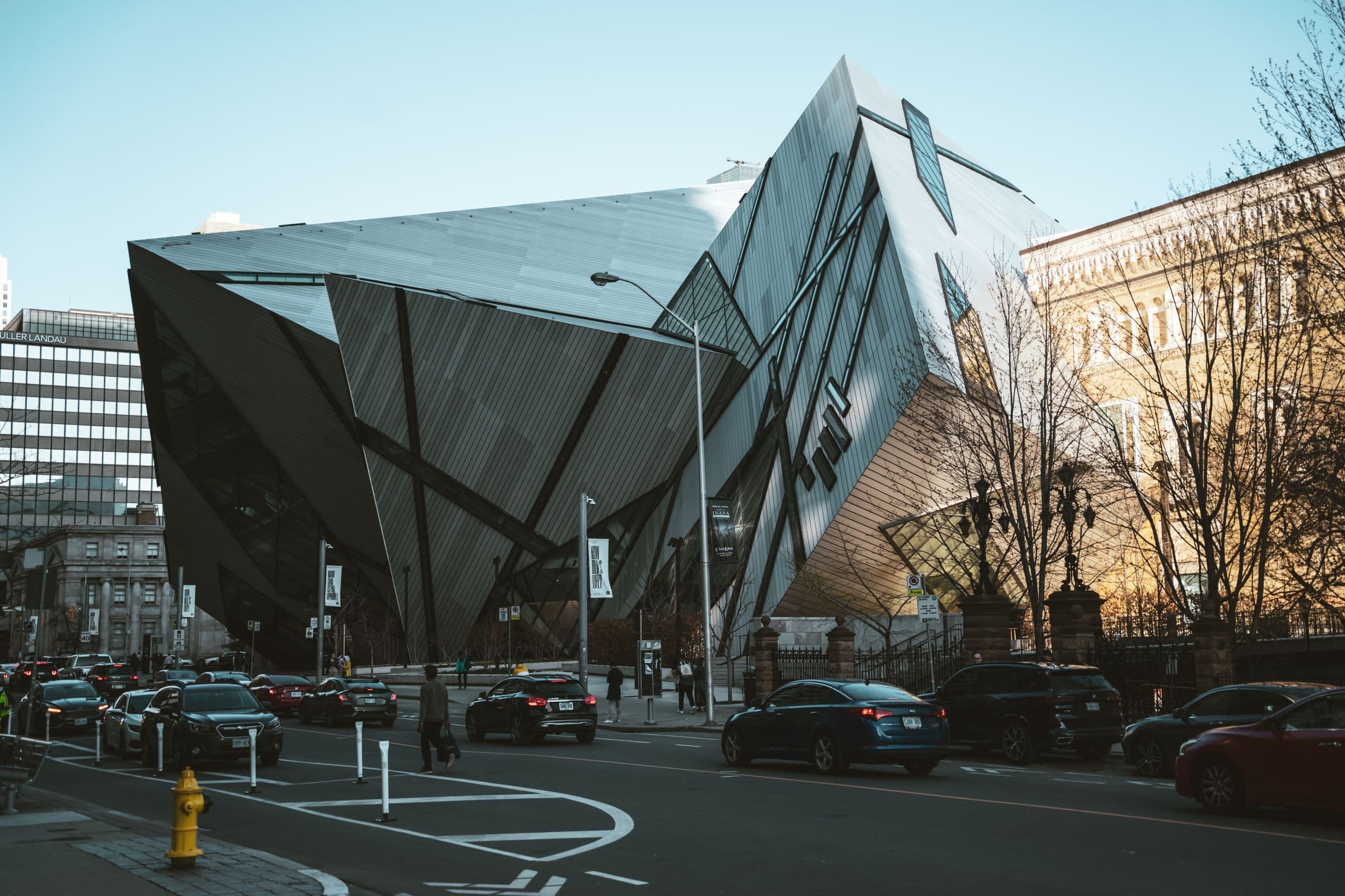
- The Royal Ontario Museum. A ticketed visit on Bloor Street, where Daniel Libeskind's Crystal breaks out of the 1914 museum. Inside, four floors of natural history and world cultures; see what to see, floor by floor or take the ROM audio guide.
What the walks share
None of these stories is about a single spectacular building. They are about a city that kept what it had and built on top of it: the shops over the yards, the gallery over the gallery, the parks on the old quays, the pedestrian district inside the factory. Once you start looking for that habit, you see it on almost every block. For every option at a glance, see the Toronto walking tours guide.
Frequently asked questions
- How many self-guided walking tours are there in Toronto?
- Roamer has 3 self-guided audio walking tours in Toronto: Old Town from St James Cathedral to the Distillery District, Kensington Market and Chinatown, and the CN Tower and the Waterfront. Every tour is free to start: the introduction and first stop play in full, and every later stop plays a 15-second taste before you decide to buy.
- How much does a self-guided walking tour in Toronto cost?
- Each tour is free to preview and $4.99 for lifetime access. If you want more than one, a 7-day pass is $12.99 and a 30-day pass covering every tour is $19.99, which works out to well under a dollar a day.
- Can I do the Toronto tours offline?
- Yes. Tours can be downloaded in advance in the Roamer app and played with no signal, which is useful when you are travelling without mobile data.
- How long are the Toronto walking tours?
- They run about 85 to 110 minutes, covering 1.8 to 3.0 km on foot, with 9 to 11 stops each. You set the pace and can pause any time.
Ready to experience it?
Old Town: St Lawrence Market to the Distillery District
110 min · 3.2 km · easy
More from Toronto
Explore more at your own pace.
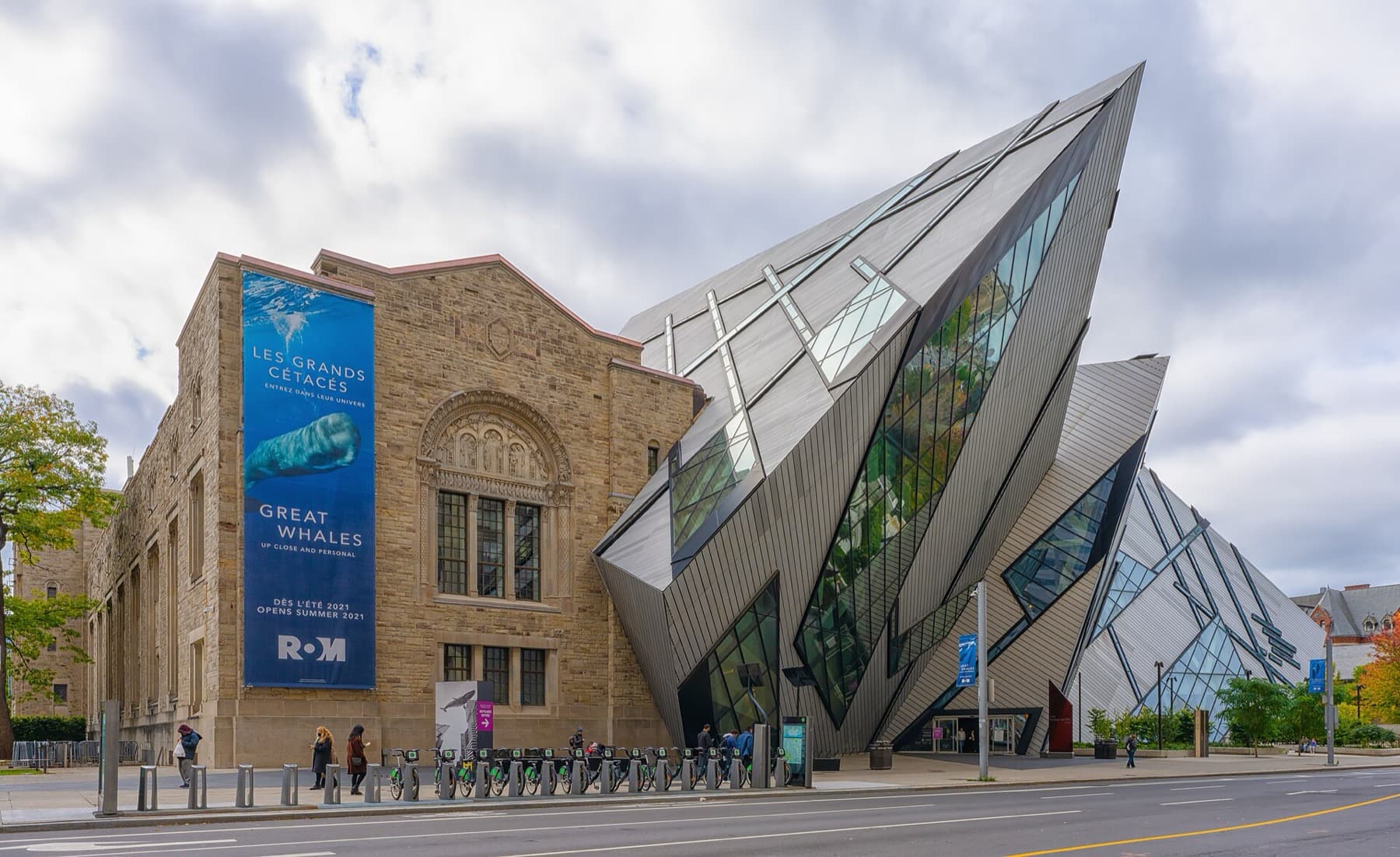
Royal Ontario Museum: What to See, Floor by Floor
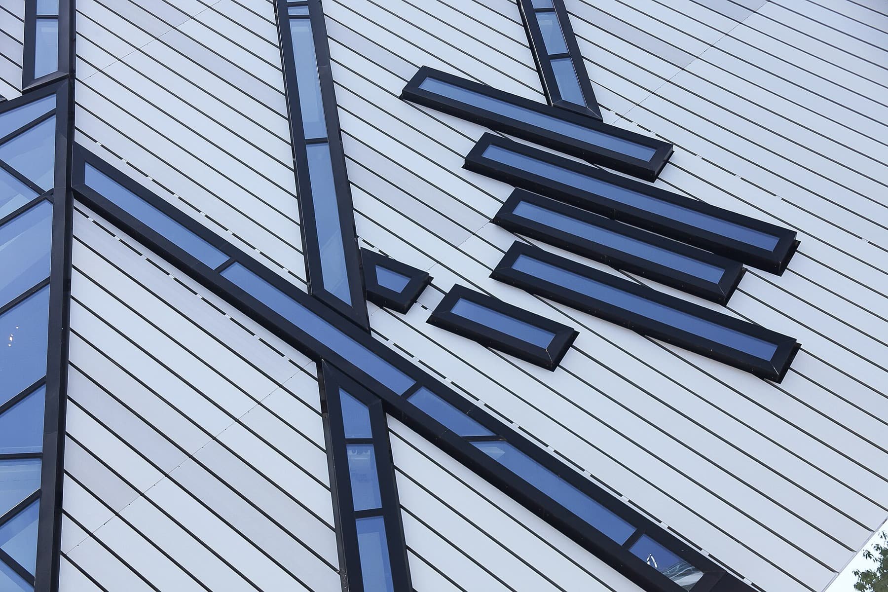
The ROM Crystal: Daniel Libeskind's Shard on Bloor Street
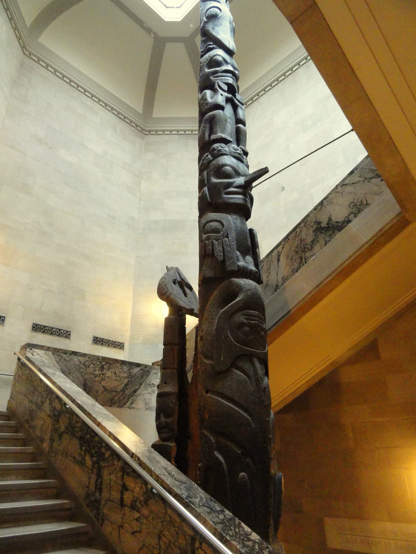
The ROM's Totem Poles: Crest Poles Built Into the Building
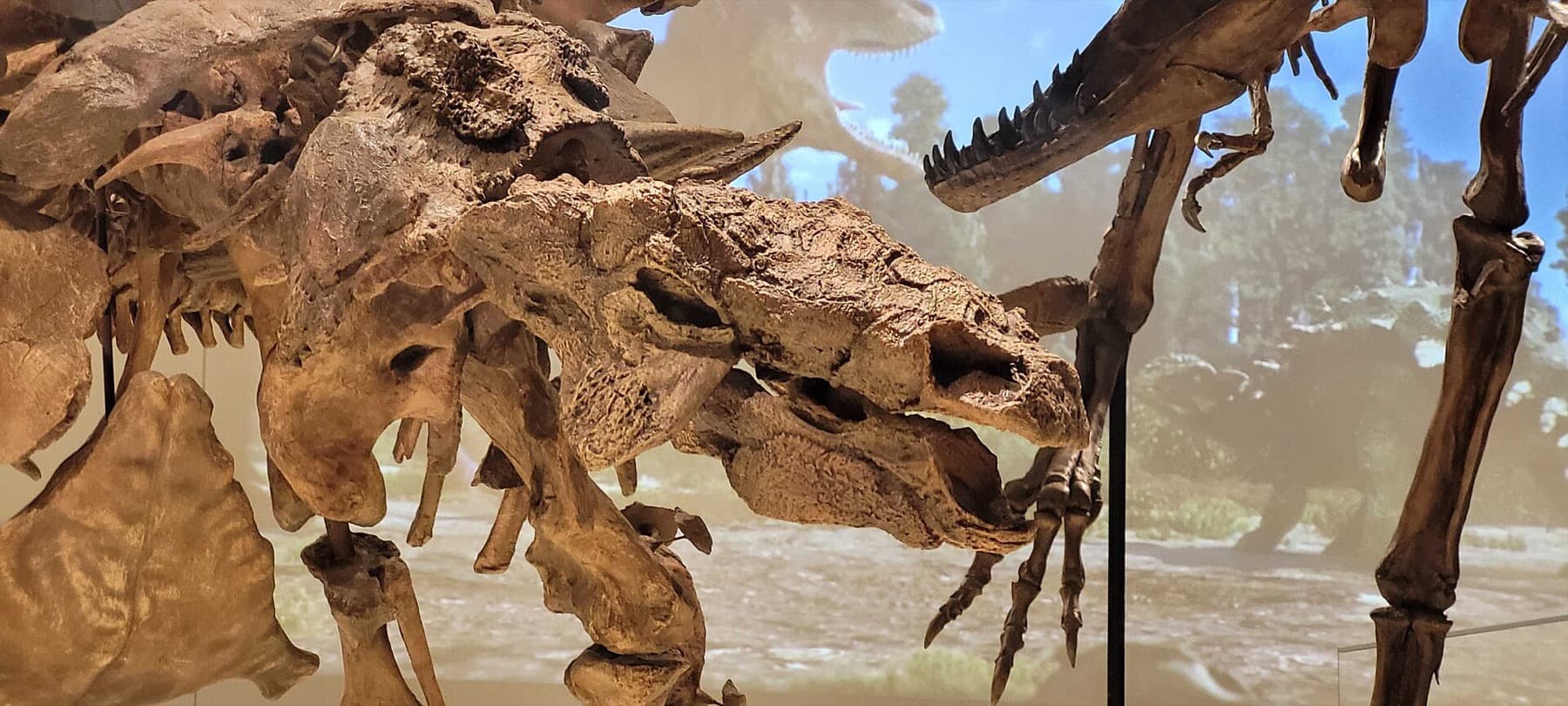
Zuul: The ROM's Armoured Dinosaur, Skin and All
Garrison Creek: The Buried River Under Trinity Bellwoods