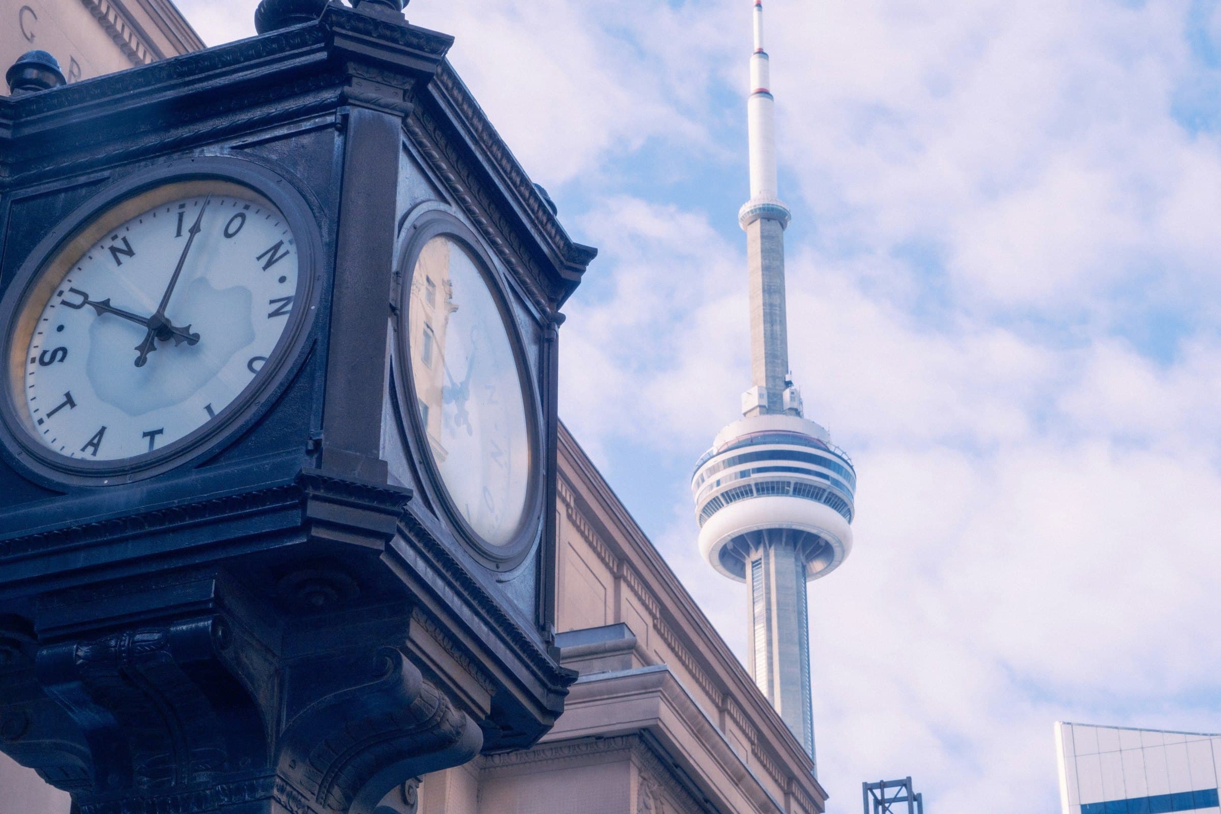
Start at Union Station on Front Street and walk south. You pass under the rail corridor, past the CN Tower and the stadium, under the deck of the Gardiner Expressway, and out to Queens Quay and the harbour. Across the water lie the low, tree-lined Toronto Islands. The walk is about two and a half kilometres. Almost every step of it is on ground that was once lake.
The shoreline that moved
Waterfront Toronto's historical overview puts it plainly. The original water's edge of Lake Ontario roughly followed the line of present-day Front Street. Since the 1850s that shoreline has been extended almost one kilometre south into the harbour, first to Queens Quay Boulevard and then to today's water's edge. The early lakefill was made to create space for connections between water, rail and road.
The next big decision came from the Toronto Harbour Commission. Its 1912 plan, the same overview says, set the stage for most of the waterfront improvement projects carried out through the end of the Second World War. Its most visible legacy is the dockwall from the Western Channel to Bay Street, most of it built between 1916 and 1921. The small ships of that era explain the many narrow slips you see west of Yonge Street.
Out of that era come two buildings the waterfront walk passes. The Terminal Warehouse, completed in 1927, held a million square feet of storage, including a large cold-storage area, beside a dock more than 2,000 feet long. The powerhouse next to it, built in 1926, supplied the warehouse's heating and refrigeration.
The railways and the expressway
Hear a stop from this walk
Jack Layton Ferry Terminal: The Islands Across the Bay
For a century the strip between Front Street and the water belonged to railways and industry. In 1968, Heritage Toronto records, Metro Developments Limited unveiled a plan called Metro Centre for 187 acres of waterfront land, a plan that would have destroyed Union Station. After an intense public fight over the loss of public access to the waterfront and the destruction of the station, the railways abandoned the project in 1975. Union Station still stands at the top of the walk.
The Gardiner Expressway was the other wall. City of Toronto figures date its construction to the late 1950s and early 1960s (City documents give slightly different years). It is named for Frederick G. Gardiner, the first chair of the Metropolitan Toronto Council. The expressway is 18 kilometres long, and its elevated section runs for 7 kilometres, from east of Bathurst Street to the Don Valley Parkway ramp. On the walk you pass under it on Rees Street.
Harbourfront and Waterfront Toronto
The public waterfront began with Ottawa. In 1972 the federal government established Harbourfront Corporation. Waterfront Toronto's overview says some of the early residential projects that followed were considered inappropriate, and faith and funding for the new corporation eroded rapidly. In 1991 it was re-formed as Harbourfront Centre, a non-profit charitable organization running the 10-acre site on York Quay and John Quay. Its landmark is the 1926 powerhouse, which opened in 1987 as The Power Plant, a free contemporary art gallery that keeps its tall brick smokestack.
In 2001 the three levels of government created the Toronto Waterfront Revitalization Corporation, now Waterfront Toronto. Its work is what you walk on along the water. The rebuilt Queens Quay, finished in 2015 and designed by West 8 and DTAH, runs 1.7 kilometres with a granite promenade laid in a maple-leaf pattern. The wooden WaveDecks over the heads of the old slips were shaped after the shorelines of the Great Lakes, and together they created 1,780 square metres of new fish habitat. HTO Park, designed by Claude Cormier with Janet Rosenberg Associates, opened in June 2007 as a city beach of sand and yellow umbrellas on an old industrial quay.
Waterfront Toronto's eastern plans brought the most public argument of recent years. In 2017 it chose Sidewalk Labs, a sister company of Google, to plan a smart district on the Quayside site at the east end of Queens Quay. After two years of debate over data and privacy, Sidewalk Labs withdrew in May 2020, citing economic uncertainty.
The islands and the people who stayed
The islands across the bay carry an older question. In 1805, in what is called the Toronto Purchase, the Crown bought more than 250,000 acres from the Mississaugas of the Credit for ten shillings. The Mississaugas long held that the Crown had taken more land than was agreed, including the Toronto Islands. In 2010 the Government of Canada settled the Toronto Purchase claim and the Brant Tract claim for $145 million.
The islands were once a sandbar peninsula sheltering the harbour. A storm in 1858 cut it from the shore, and the islands have been islands since. By the twentieth century they held a resort and thousands of summer and year-round residents.
Then the government decided they should be a park. The City of Toronto Archives records that the 1956 transfer of the islands to the new Metropolitan Toronto, to be a regional park, led to the destruction of over 400 homes. The communities on Centre Island and Hanlan's Point went. The residents of Ward's and Algonquin Islands, at the eastern end, resisted, and the archives say the struggle continued until 1993.
The settlement came from the province. The Toronto Islands Residential Community Stewardship Act came into force on 15 December 1993. In a City report's words, it placed the Ward's Island and Algonquin Island residential lands under the stewardship of the Toronto Islands Residential Community Trust Corporation, leased to the Trust for 99 years to sublease the homes to their occupants. Both outcomes are visible today: a large public park on Centre Island, made possible by the clearances, and a small village of homes at the eastern end that stayed. For that village, read Ward's and Algonquin Island: The Village That Refused to Leave.
Seeing it on foot
The CN Tower and the Waterfront walk covers the mainland half of this story in nine stops over about two and a half kilometres, about 85 minutes at an easy pace: Union Station, the CN Tower, Roundhouse Park, the SkyDome, HTO Park and the WaveDecks, Harbourfront Centre and The Power Plant, the 1927 warehouse now called Queens Quay Terminal, and finally the Jack Layton Ferry Terminal. The walk does not cross the water. Its last stop looks across the bay at the islands, and the island ferries leave from right there; check the City's ferry pages for fares and the current schedule. For the city's other walks, see the Toronto walking tours guide.
Stand at the end of the walk and look back north. The lake's first edge ran along Front Street. Everything between there and your feet, the tracks, the roundhouse, the stadium, the beach and the warehouse, stands on made ground, and each piece of it was somebody's decision.
Ready to experience it?
CN Tower and the Waterfront: From the Railway Lands to the Lake
85 min · 2.4 km · easy
More from Toronto
Explore more at your own pace.
Royal Ontario Museum: What to See, Floor by Floor
The ROM Crystal: Daniel Libeskind's Shard on Bloor Street
The ROM's Totem Poles: Crest Poles Built Into the Building
Zuul: The ROM's Armoured Dinosaur, Skin and All
Garrison Creek: The Buried River Under Trinity Bellwoods