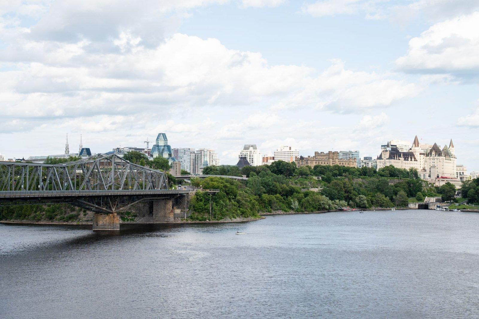
Ottawa was built as two cities glued together. When Lieutenant-Colonel John By arrived to build the Rideau Canal in 1826, he laid out Upper Town on the bluff west of the canal, where the Scottish and English Protestant officer class lived, and Lower Town on the riverbank east of it, for the French and Irish Catholic labourers who did the building. The topographic line was a class line. Nearly two hundred years later, the streets below Parliament Hill are still the working city the political one was built on top of, and you can read that line on foot.
The seam
The walk begins on Plaza Bridge, where the canal drops through its flight of eight stone locks to the Ottawa River. Until 1912 this crossing was Sappers' Bridge, a stone arch built in 1827 by the Royal Sappers and Miners to By's plans. In July 1912 the city tried to blow it up to make room for what became Confederation Square; the dynamite failed and the crew finished with a derrick. The bridge changed. The seam did not. The Historical Society of Ottawa puts the early numbers at about 1,500 people in Lower Town, mostly French and Irish Catholic, against no more than 500 in Upper Town. Lower Town lots could only be leased under the original Crown grant, a restriction not lifted until the 1860s, so for two generations the people who built the city could not own the ground under their houses.
The working city's institutions
Hear a stop from this walk
King Edward Avenue: The Closer
East of the bridge, the institutions of that working city still stand in a short loop. Notre-Dame Cathedral Basilica on Sussex Drive is one building in three phases: a stone church begun in 1841 to a neoclassical design, redesigned mid-construction in 1844 as Gothic Revival, blessed in 1846, and crowned with its twin spires only in 1866. Look up at the facade and you are seeing a change of mind set in limestone. For fifty-six years it held French and Irish Catholics in one joint parish.
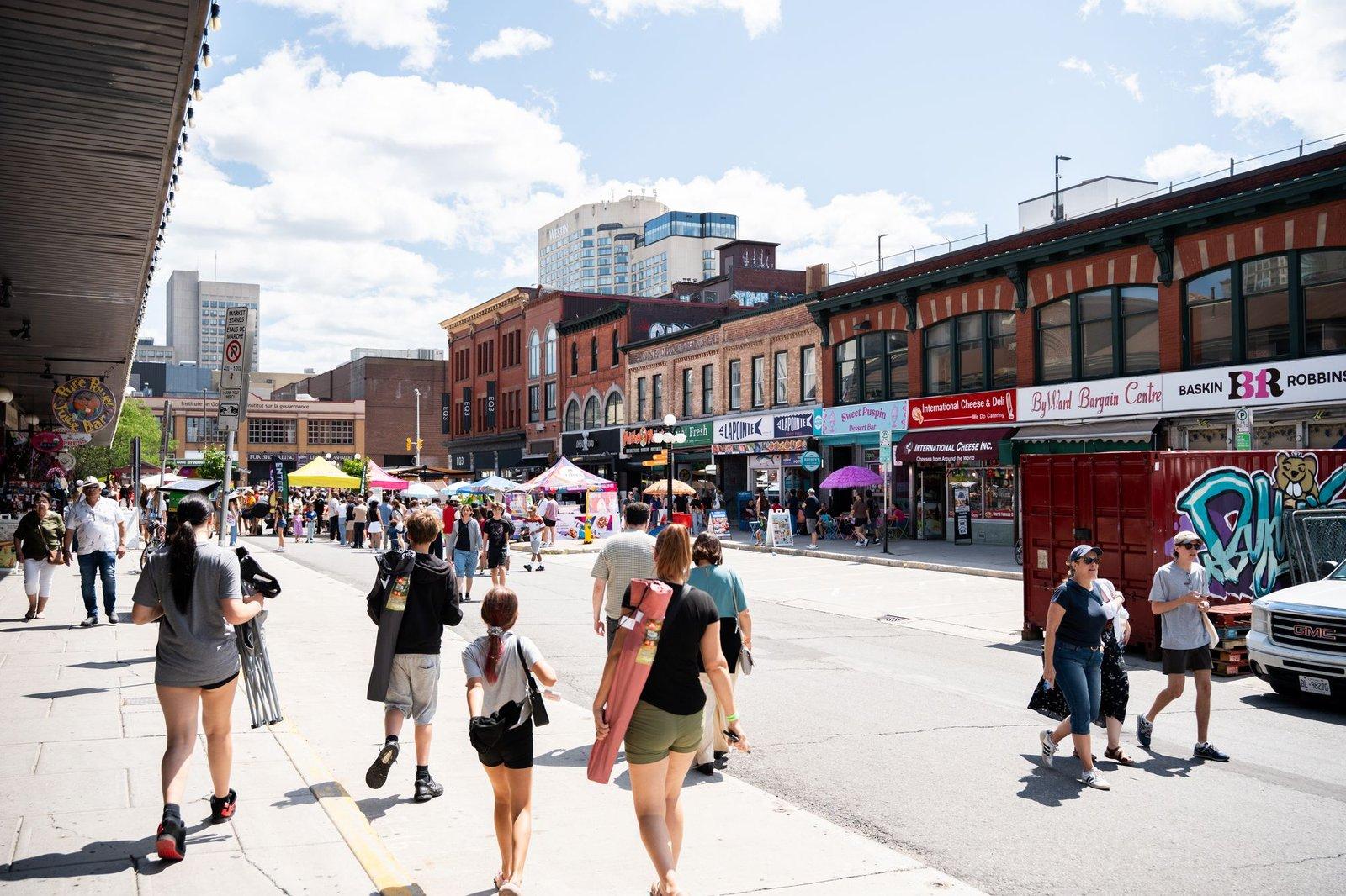
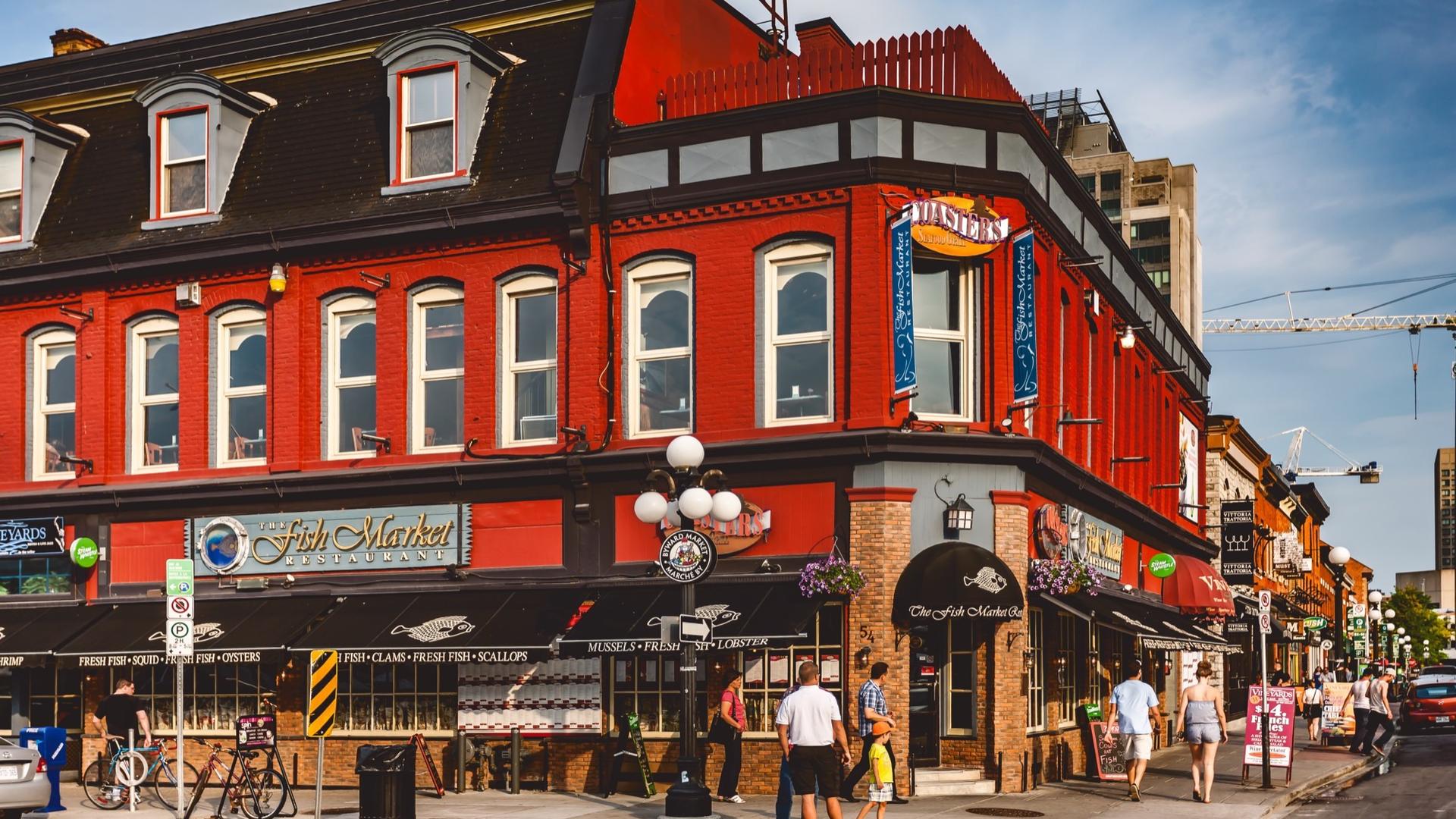
The ByWard Market is the only Bytown-era institution still working on its original site. By paid for the first market building in 1827 out of Lower Town rents, and the name is his: By's Ward, with a capital W for the founder. It was built to feed canal labourers and, later, raftsmen off the timber drives, not visitors. The surrounding fifteen blocks, about 160 buildings, were designated a heritage conservation district in 1991.
Two small stops show how the working city is remembered. In Tin House Court, the sheet-metal front of tinsmith Honore Foisy's house hangs on a brick wall as sculpture: his trade advertisement, pressed metal shaped like carved stone, saved when the house was condemned and restored by the sculptor Art Price before it went up here in 1973. And at the corner of St. Patrick and Cumberland, St. Brigid's records the moment the joint parish split. By the 1870s French Canadians were the majority at Notre-Dame; in 1888 the Irish community asked Archbishop Duhamel for a parish of their own, and the Romanesque Revival church, heavier and round-arched where the basilica is pointed, was blessed in 1890, four blocks east. It closed as a parish in 2007 and is now an arts centre.
The view from above
Midway, the route climbs into Major's Hill Park, named for Major Daniel Bolton, who succeeded By on the canal works. This is where the officer class lived, and the view down over the locks and the Lower Town rooftops is the one they had every morning. The whole corridor sits on unceded Algonquin Anishinabeg territory, which the City of Ottawa's 2022 protocol with the Nation states plainly.
Below the bluff stands the Commissariat Building of 1827, the oldest stone building in Ottawa, cut by the stonemason Thomas McKay. It was the canal's supply depot, with a vault for the black powder and the pay, and the workers who built Lower Town collected their wages here. Since 1951 it has been the Bytown Museum. The walk then crosses back through the market to King Edward Avenue, widened in the 1950s and 1960s into a six-lane truck route that now runs between Notre-Dame and St. Brigid's. Lower Town was cut twice: once by the canal, once by the arterial.
Walking it
The loop is on public streets and park paths, easy to take at your own pace: stop for coffee in the market, step into the basilica if it is open, or skip ahead on a cold day. The walk is Lower Town and ByWard: The City Beneath the Capital, eight stops over about 3.9 kilometres in roughly 100 minutes, from Plaza Bridge to King Edward Avenue. See all routes on the Ottawa page.
Sources
- Historical Society of Ottawa, Sappers' Bridge: the 1827 bridge, its demolition on 23 July 1912 and the early populations of Lower and Upper Bytown.
- ByWard Market, History: Colonel By's decision to build a market on George Street in Lower Town.
- Heritage Ottawa, St. Brigid's Church: the church built from 1888 for the English-speaking, mainly Irish Catholic parishioners of Notre-Dame, the last service in 2007 and its reuse as an arts centre.
- Roamer's audited tour transcript for the 1827 market and its funding, the 1890 blessing, Notre-Dame's phases, Tin House Court, Major's Hill Park, the Commissariat Building and King Edward Avenue.
Ready to experience it?
Lower Town and ByWard: The City Beneath the Capital
100 min · 3.9 km · easy
More from Ottawa
Explore more at your own pace.
One Day in Ottawa: A Walkable Capital Itinerary (2026)
Ottawa Travel Guide: How Many Days, Getting Around, When to Go (2026)
Best Architecture Walking Tours in Ottawa (2026)
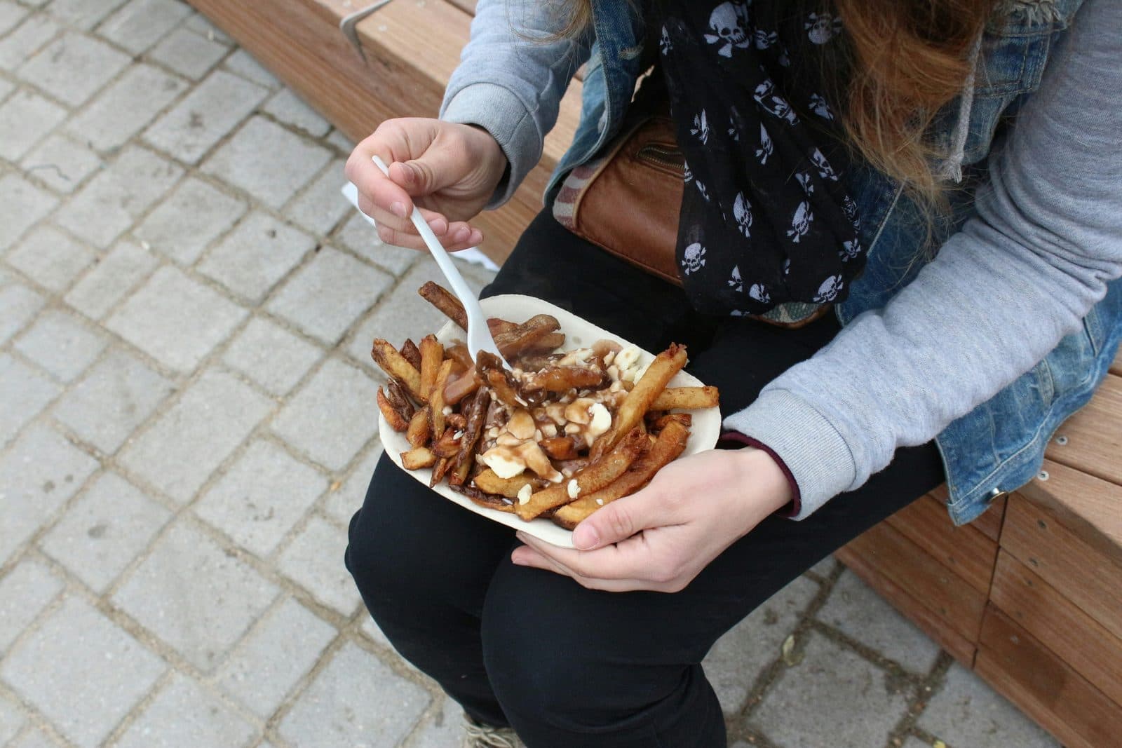
What to Eat in Ottawa: A Food Guide (2026)
Parliament Hill: Why Ottawa's Famous Parliament Is a 1920s Rebuild