The corner of Wall Street and Broad Street is one of the most photographed intersections in the world. People stand there to look at the New York Stock Exchange, the steps of Federal Hall with George Washington in bronze, and Trinity Church closing the view to the west. Few of them notice that the street is named after a wall that is no longer there, that the wall was built by enslaved workers, and that the burial ground for Africans in the colonial city lies a short walk north, rediscovered only in 1991.
Lower Manhattan is a city built in layers: a Lenape landscape, a Dutch trading town, a British colonial port and, for a short time, the first capital of the United States. Each was built on top of the last, and you can still find the seams.
The first layer: the Lenape
Before any of the names that survived, the lower island was Lenape land. The trading path that ran north from the tip of the island, the Battery Conservancy notes, became Broadway, the spine of every city that followed.
By tradition, in 1626, Peter Minuit bought Manhattan from the Lenape for goods valued at about sixty guilders, at or near what is now Bowling Green. Tradition is the right word: the place and terms are matters of legend. Historians have long pointed out that Dutch and Lenape ideas of what a land deal meant were very different, and that the Lenape did not leave the island at once.
The second layer: New Amsterdam
Hear a stop from this walk
African Burial Ground: The Ground Under the City
The Dutch built Fort Amsterdam near the shore of the Battery in 1626 and a small town of narrow lanes grew up around it. Two pieces of it are still legible.
The first is Stone Street. The Landmarks Preservation Commission records that in 1658 the stretch then called Brouwer (Brewer) Street, west of the canal that later became Broad Street, became the first paved street in New Amsterdam, after residents agreed to pay extra taxes for it. The National Park Service adds that the paving was the work of enslaved Africans. The original surface lies six and a half to seven feet below today's street. The narrow, stone-set block of Stone Street east of Broad, lined with granite-fronted lofts rebuilt after the Great Fire of 1835, keeps the old crooked line.
The second is Wall Street itself. In 1653, on the orders of Director General Peter Stuyvesant, the colony built a defensive wall across the island at the northern edge of the town, and the Park Service records that enslaved workers built it. In 1664 an English fleet took the town without a battle, and New Amsterdam became New York.
The third layer: colonial New York
For more than a century Lower Manhattan was a British colonial port, and enslaved labour was part of its economy. The commission's report on the Stock Exchange notes that security transactions in the city may date back as far as 1725, when wheat, tobacco and enslaved people, as well as securities, were bought and sold in an auction market at the foot of Wall Street. A historical marker put up in 2015 near Wall and Water Streets now records that market.
Beyond the northern edge of the town lay the burial ground. Barred from the city's churchyards, Africans buried their dead outside the palisade. The Park Service dates the burial ground from the middle 1630s to 1795 and says it eventually covered five to six acres, about five present-day city blocks, holding upwards of fifteen thousand people. The city grew north over it, and it was built over and forgotten.
The fourth layer: the first capital
On the thirtieth of April, 1789, George Washington took the oath as the first president on the second-floor balcony of the building that stood where Federal Hall stands now. It was the old colonial City Hall, remodelled for the new government. Robert Livingston, the Chancellor of New York, administered the oath. The Park Service records that the First Congress met there and wrote the Bill of Rights. The capital moved to Philadelphia the next year.
The old building was demolished in 1812. The Greek temple on the site today was built as a custom house between 1834 and 1842; the Park Service calls it the third structure on the site. Its vaults held duties and then millions in gold and silver until the Federal Reserve took over that role in 1920. The bronze Washington on the steps marks the approximate site of the oath.
The layer that came back
In 1991, construction of a federal office tower at 290 Broadway uncovered human remains about thirty feet below street level. They were the edge of the African Burial Ground. Archaeologists recovered the remains of 419 people, which were studied at Howard University and, in 2003, reinterred in seven crypts under burial mounds. The site became a National Monument in 2006, and the outdoor memorial by Rodney Leon was built in 2007. Its Wall of Remembrance faces Duane Street.
Walking the layers
The Lower Manhattan walk reads these layers in order: twelve stops and about three and a half kilometres, a little under two hours. It starts at Battery Park and Castle Clinton, a fort built on an island offshore and later joined to the land, passes Bowling Green, Fraunces Tavern and Stone Street, the Federal Reserve, Wall Street with Federal Hall and the Stock Exchange, and Trinity Church. It stops at Zuccotti Park facing the Equitable Building, then the 9/11 Memorial pools, the Oculus and One World Trade Center, St Paul's Chapel and the Woolworth Building, and ends at the African Burial Ground. The outdoor memorial is open Wednesday to Sunday, so check the hours before you plan to finish there.
Ready to experience it?
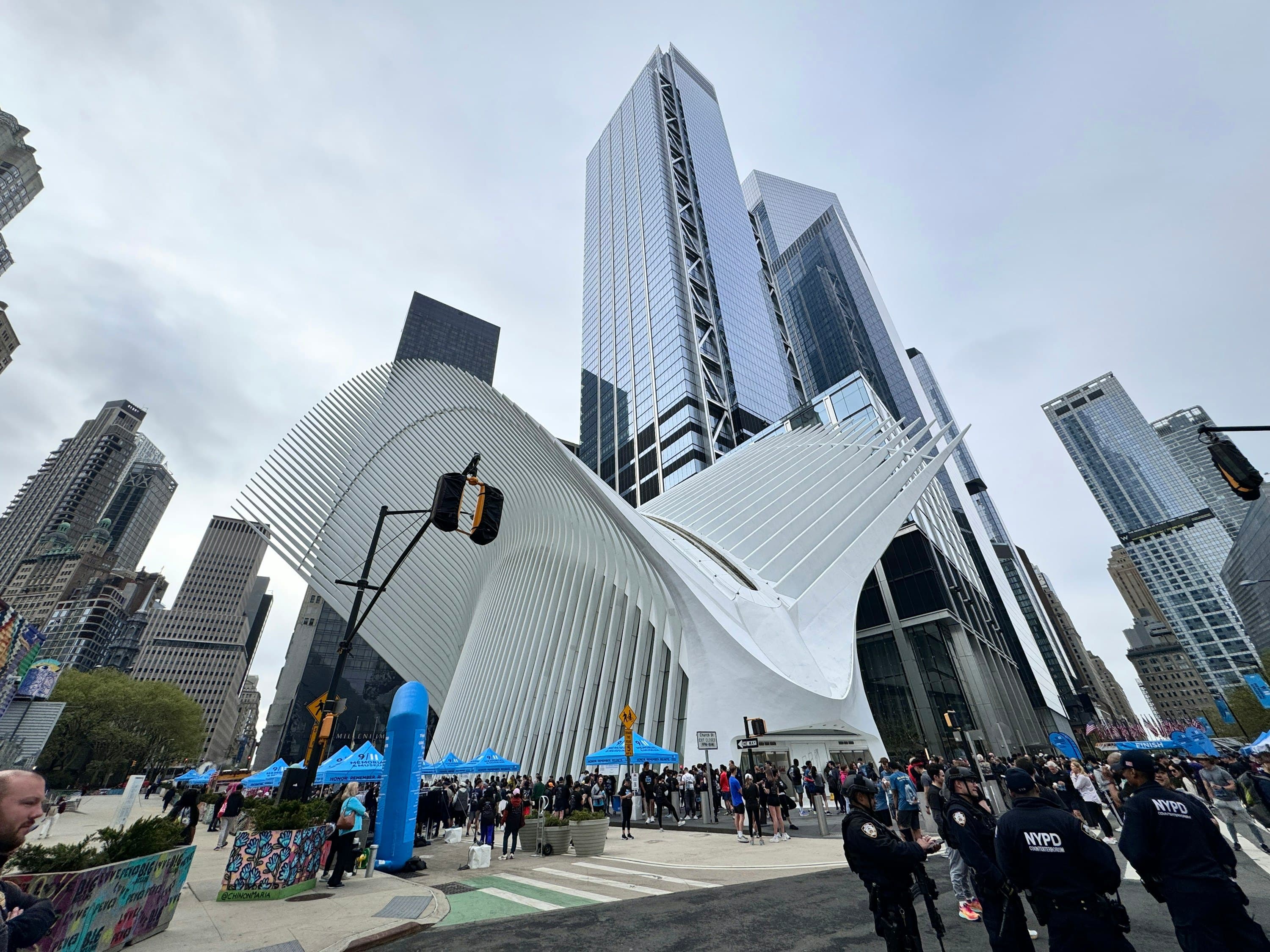
Lower Manhattan: Wall Street to the World Trade Center
110 min · 3.5 km · easy
More from New York
Explore more at your own pace.
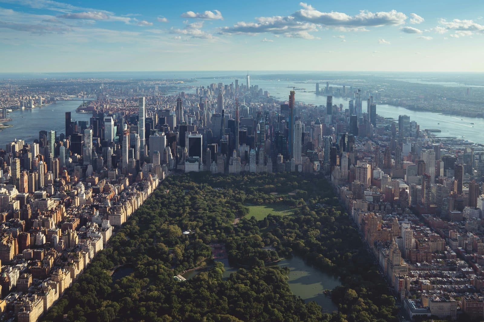
New York Travel Guide: How Many Days, Getting Around, When to Go
One Day in New York: A Walkable Itinerary That Actually Works
MoMA: What to See, Floor by Floor, and Where the Famous Paintings Hang

Monet's Water Lilies at MoMA: The Room, the Fire and the Pond
The Starry Night at MoMA: Where It Hangs and What to Look For