North Michigan Avenue was made, not found. A walker standing at the north end of the DuSable Bridge today reads North Michigan Avenue as one of the best-known commercial streets in the United States. Limestone and terra cotta on both sides. A white tower of terra cotta at the bridgehead. A Gothic stone tower with fragments of other places set into its base. A water tower of yellow stone a few blocks north, and a supertall with steel diagonals beyond it. The street has a name and a brand. It feels old.
It is not old. Most of what you see was built in the twentieth century, and most of the story is a decade. North of the river this street was called Pine Street until about 1920. The change was the result of a plan, a bridge and a street-widening, in that order.
The street before the bridge
The City's landmark reports describe what stood here. East of Pine Street near the river was a warehouse district of unsavory reputation. West of it was light industry and warehouses devoted largely to the food processing and grocery business. Farther north the Water Tower District report places the older residential city, with the Water Tower and its pumping station in the middle of it. The point is not that nothing was here. It is that the street was not a destination.
Daniel Burnham and Edward Bennett's 1909 Plan of Chicago recommended that Michigan Avenue be widened and extended north of the river. The Wrigley Building report says Pine Street became Michigan Avenue between 1916 and 1920, as the widening was carried out. The bridge opened in May 1920, and the report calls it the most important realization of the Plan. The estimated cost of the whole improvement was fourteen million nine hundred thousand dollars.
What the bridge did
Hear a stop from this walk
333 West Wacker and the Confluence: A Building Bent to the River
The bridge was not the building. The bridge was the permission. Wrigley's own report is explicit about the order of events: the Wrigley Building was the first major commercial building constructed north of the river, following the widening of the avenue, a result of the improvements brought about by the 1909 Plan. The report adds that commercial development of North Michigan Avenue followed throughout the 1920s, and the area was called the New Gateway of the Greater Chicago. Wacker Drive, a two-level road along the south bank, opened in 1926.
This is a different story from the river's own. The river was reversed in 1900 for a drainage reason. The north bank boomed after the bridge. Tell them as two stories, not one cause. Our companion article on the river tells the first.
The buildings
The Wrigley Building opened on April 1, 1921, completely rented, by the architects Graham, Anderson, Probst and White for William Wrigley Jr. It is twenty-four stories including its tower, three hundred and ninety-eight feet high, two feet under the 400-foot limit. A north annex followed in 1924. It is clad in glazed terra cotta in six shades of white.
The Tribune Tower followed, built from 1923 to 1925 after an international competition. It is the subject of its own article here.
The Allerton Hotel, built from 1922 to 1924 at Michigan and Huron, is the City's example of an early setback tower. The Allerton report says it was the first building in Chicago built with a pronounced setback and towers, and that it was not required to. When the building permit was issued in January 1923 the city had no zoning ordinance, and the height limit then was about 260 feet. The 1923 ordinance that followed encouraged skyscrapers with several setbacks.
The Medinah Athletic Club opened in April 1929 at Michigan and Illinois. It was a clubhouse for Shriners, designed by Walter Ahlschlager, with a Moorish-style dome and, in 1929, a pool on an upper floor said to be among the world's highest. It went bankrupt in 1934. It has been a hotel since 1944. Set against the Gothic newsroom a few blocks south, it is the same street and a very different dream.
The Palmolive Building, by Holabird and Root, was built from 1927 to 1929 and is a Chicago Landmark.
The water tower
There is one older public building on the Mile. The Chicago Water Tower and its pumping station, built in 1869 of yellow limestone, were the only public buildings in the burned area to survive the fire of 1871. They were threatened with demolition more than once, including in 1918, to make way for the new Michigan Avenue, and survived. Our companion article on the tower tells that story.
The name
The label Magnificent Mile is from 1947. The developer Arthur Rubloff and the street's business group are credited with coining it. The sources we could open for the name are secondary, so treat the dates and the details as a pointer, not a settled record. What is plain is that the name came after the street, not with it.
How to walk it
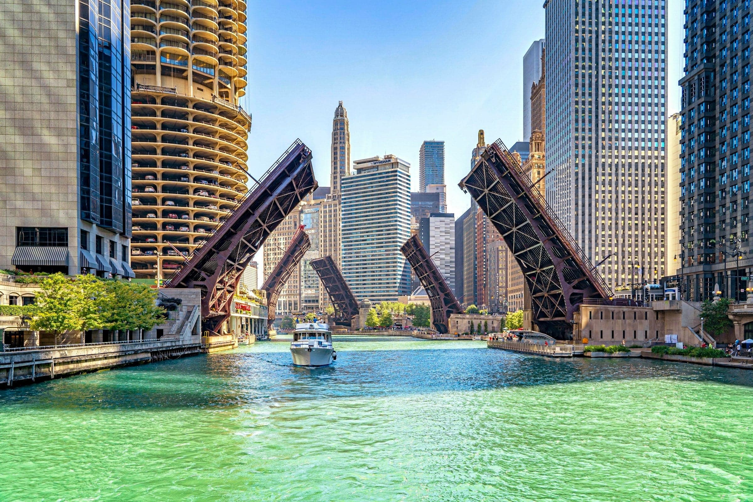
The Riverwalk walk starts at the Hancock Center, which is on the Mile's north end and a stop on the tour. It then goes south along Michigan Avenue past the Water Tower, the Allerton, the Medinah and Tribune Tower, crosses the DuSable Bridge, goes down the stairs to the Riverwalk and follows the water west, twelve stops in about two and a half kilometers. The walk reads the street first and the river second. On a street built in a decade, the older buildings are the interesting ones.
Ready to experience it?
Chicago Riverwalk: From the Magnificent Mile Down to the Water
100 min · 2.4 km · easy
More from Chicago
Explore more at your own pace.
Chicago Travel Guide: How Many Days, Getting Around, When to Go (2026)
One Day in Chicago: A Walkable Downtown Itinerary (2026)
A Sunday on La Grande Jatte: Seurat's Park of Dots, in Chicago
Art Institute of Chicago: What to See, Building by Building
Paris Street; Rainy Day: Caillebotte's Nine-Foot Street Corner