Freedom Trail: The Buildings Boston Refused to Lose
120 min · 2.5 km · easy
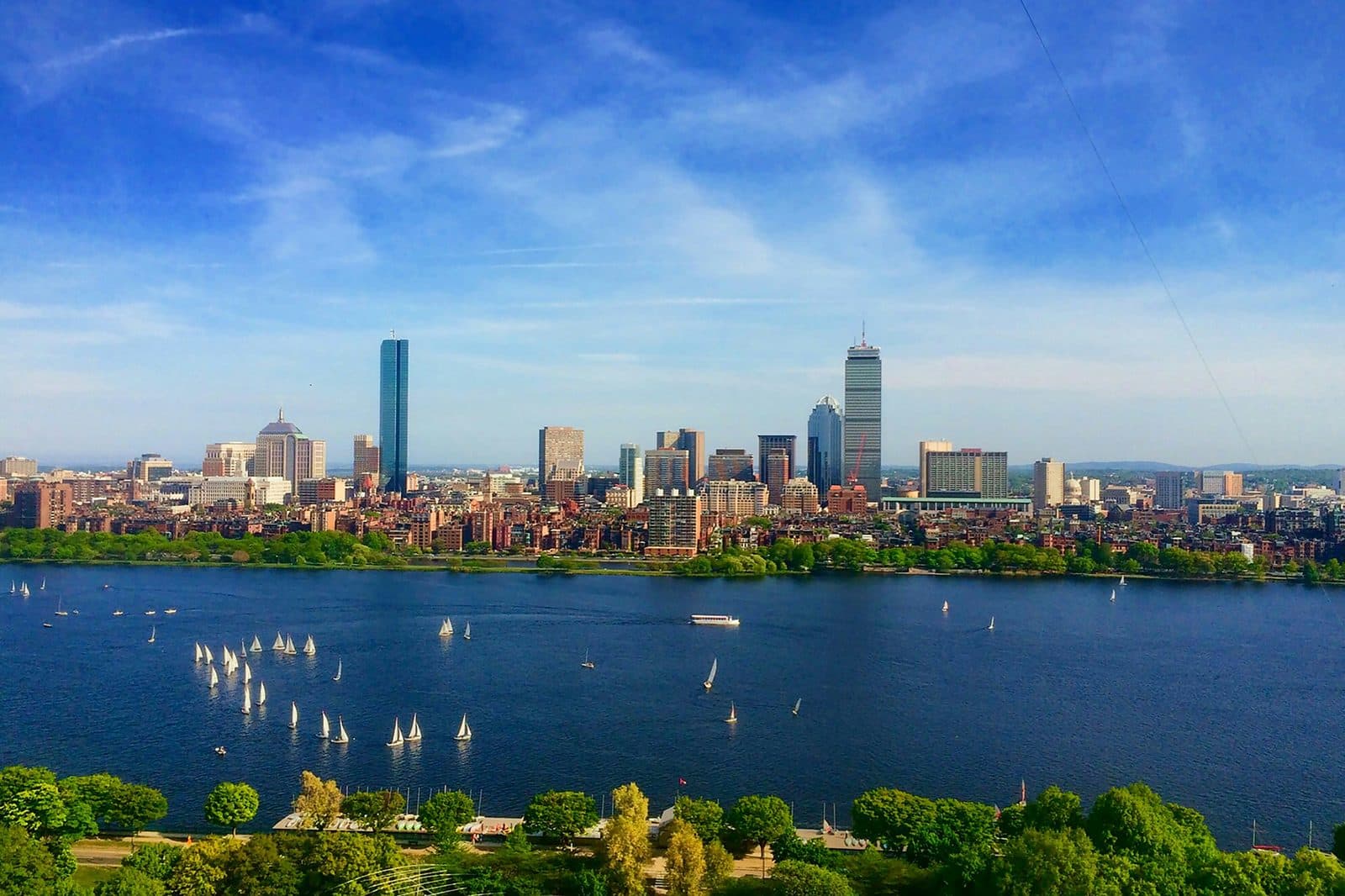
Boston is small enough to walk in a long day. The downtown core is about a square mile. Beacon Hill is two streets deep at the ridge. The North End is six blocks across. Cambridge is the next town over, the other side of the Charles, a short ride on the Red Line from Boston Common to Harvard Square. The whole of what tourists call historic Boston could be photographed from the top of one tall building.
That smallness is what makes the city deceptive. Every story you can tell about Boston happens within a few miles of every other story. The Revolution and the Civil War abolitionists and the Famine Irish and the Olmsted parks and the MIT biotech cluster all sit on top of each other on a peninsula and the marshes that were filled in to make it bigger. You can stand on Boston Common and be three minutes from a 1773 burying ground, eight minutes from what is considered the oldest standing Black church building in the United States, a short trip from a 1916 dome built by an institution that arrived in town already fifty-five years old. The compression is the city. The compression also makes the city read, on first encounter, like a museum where everything is in the same wing.
It is not a museum. It is a city of lines.
The official line, drawn in 1958
The first line you meet is the Freedom Trail. Two and a half miles of red paint and red brick, sixteen sites, from Boston Common to Bunker Hill in Charlestown. The painted trail is the most successful single piece of civic marketing in twentieth-century American tourism. It was invented in March of 1951 by a Boston newspaper columnist named William Schofield, who suggested in a single column that the city mark out a path connecting its colonial sites, on a budget of a few dollars and a bucket of paint. Mayor John B. Hynes dedicated the route that June, and the city put up painted signs on thirty street corners. For seven years the trail was a signed route; by 1953 it was recording forty thousand visitors. The red line was added in 1958.
The trail is now treated, by most visitors and a fair number of guidebooks, as if it had always been there. It had not. It is a postwar tourism invention that braided sixteen mostly-unrelated colonial and Revolutionary sites into a single Revolutionary narrative, and it succeeded so completely that it became the standard way Americans walk through the early national story. Other cities copied it. Philadelphia, Concord, New Bedford, Lowell. The painted-line, choose-the-sites, walk-them-in-sequence template is Boston's. You can argue that the most important civic invention in postwar Boston was not a building. It was a line.
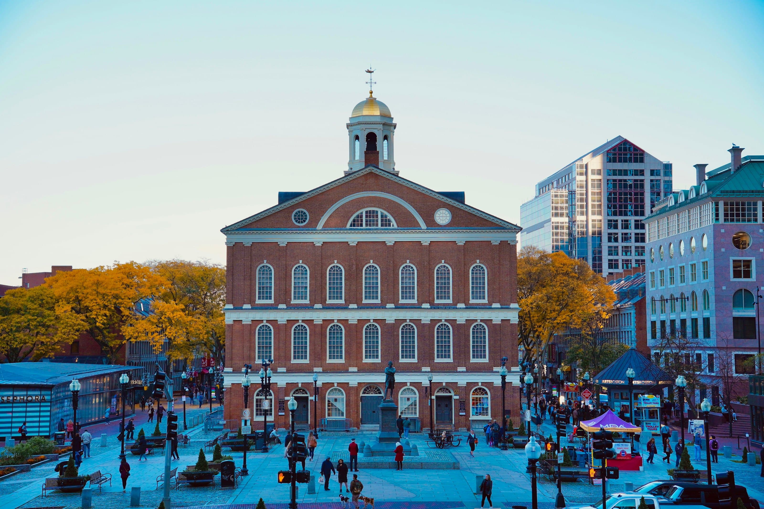
The trail is honest about what it shows. For most of its life it was quieter about what it walked past. It marks the Old State House and the cobblestone ring of the Boston Massacre. It does not mark the West End, the working-class neighborhood a few blocks northwest that urban renewal cleared at the end of the 1950s. It marks the Old North Church and the lantern signal of April 1775; only more recently has the story of the church's segregated seating, where Black and Indigenous congregants sat apart, come forward. It marks Faneuil Hall as the Cradle of Liberty; the National Park Service, which runs the hall, now states plainly that Peter Faneuil owned enslaved people and that his capital funded several voyages to buy enslaved Africans.
These omissions are not malicious. They are editorial. A 1951 newspaper columnist and the boosters who signed and then lined the route chose what to include based on the public-history priorities of postwar Boston, which were Revolutionary, white, and Protestant. The trail froze those priorities. To walk it now is to walk what the city decided, three quarters of a century ago, was worth painting onto the sidewalk.
The line beside it
Hear a stop from this walk
Copp's Hill Burying Ground: Where the Lantern Men Rest
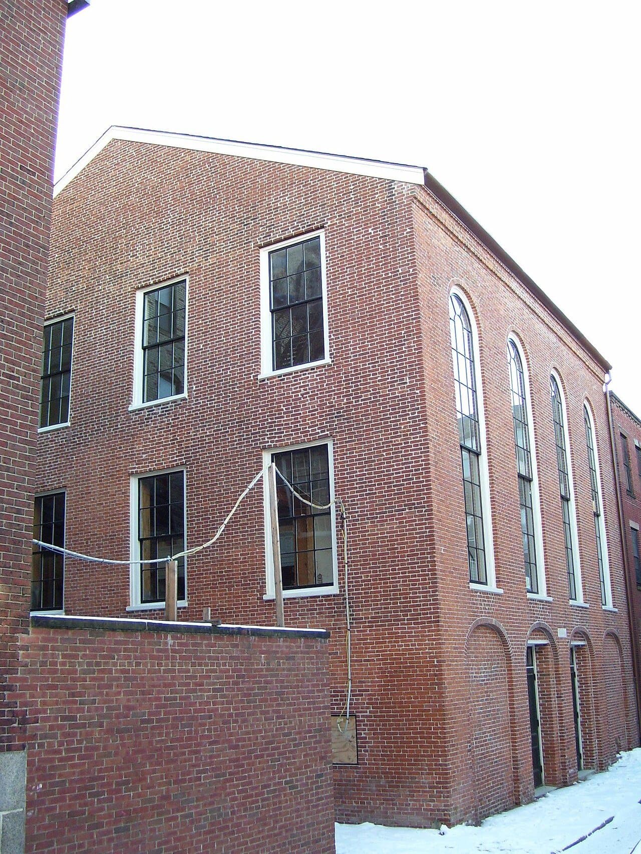
The second line is the Black Heritage Trail, fourteen sites on the north slope of Beacon Hill, beginning at the Shaw memorial on Beacon Street. The National Park Service and the Museum of African American History at 46 Joy Street look after it. The African Meeting House, built in 1806, considered the oldest standing Black church building in the United States. The Abiel Smith School, opened in 1835, which the museum calls the oldest public school in the country built solely to educate African American children. The Lewis and Harriet Hayden House, which the Park Service calls the most active Underground Railroad safe house in the city. The William C. Nell House. The Charles Street Meeting House. The Robert Gould Shaw and 54th Regiment Memorial across from the State House. The George Middleton House.
The Black Heritage Trail is not a competitor to the Freedom Trail. It is a corrective. The two trails cross each other in two places: the Shaw Memorial, which is the first stop of the Black Heritage Trail and which the Freedom Trail walks past without stopping; and Copp's Hill Burying Ground, where the Freedom Trail names the Mathers buried on the rise and where a section of the ground was set aside for Black Bostonians, free and enslaved, most of them buried without stones. The geography is the same. The argument is different.
There are now also the Boston Women's Memorial on the Commonwealth Avenue Mall, unveiled in 2003. The Irish Heritage Trail. The Asian American Heritage Trail. The LGBTQ History Trail. Each new trail names what the previous trail walked past. The city has, in effect, been adding trails for forty years to compensate for the editorial choices of 1951. To see Boston honestly is to hold all of them at the same time, and to remember that the original line was a choice and so are all the lines drawn since.
The line under it
The third line is harder to see because it does not have paint. It is the engineered ground.
Roughly a third of modern Boston is filled-in land. The Back Bay, the South End, the Seaport, the Public Garden, the airport, the financial district waterfront. The peninsula the Puritans founded in 1630 was less than half its current size. The neighborhoods that look most settled to the modern eye are mostly the ones that did not exist when the founding stories were happening. Back Bay was tidal mudflats until the 1857 to 1882 landfill operation drained and graded it. The North End was an island connected by a causeway. Cambridge held salt marshes where MIT now stands.
The engineered ground is the second invisible spine of Boston. Frederick Law Olmsted's Emerald Necklace, a connected sequence of parks running from the Public Garden through the Back Bay Fens to Franklin Park, was designed in part to solve a sanitary crisis at the western edge of the new Back Bay neighborhood. The Fens was a foul tidal flat that the new mansions on Commonwealth Avenue could not be built next to. Olmsted's 1878 solution was a tidal saltwater marsh that would flush twice daily and absorb the sewage of the new district. The marsh was beautiful. It was also drainage infrastructure. The hydraulic function and the landscape function were the same design.
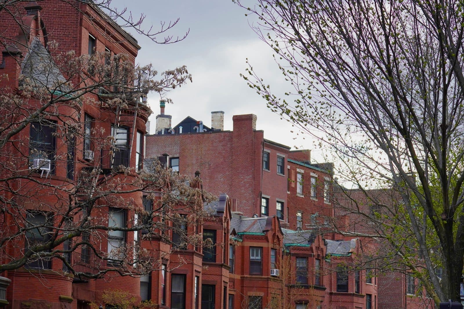
The same logic runs across the city. Trinity Church on Copley Square stands on about forty-five hundred wooden piles, each around thirty-five feet long. The piles must stay constantly wet or they rot. Every major Back Bay building does some version of this. The architecture you read at street level rests on a buried forest. The neighborhood is the result of an engineering decision made by mid-nineteenth-century city government to extend the peninsula westward by dumping gravel into a tidal bay for twenty-five continuous years. At the peak, gravel trains from Needham arrived every forty-five minutes, and two new house lots were created each day. Deed restrictions then controlled what could be built on the new lots, and so, in effect, who could afford them.
To see Boston is to see this. The city is engineered ground holding architectural memory. The streets you walk on are paved over earlier streets, which are paved over earlier shorelines, which are paved over a tidal landscape that the Puritans inherited from the Massachusett and the Pawtucket peoples who had been managing it for thousands of years before. Each layer is a decision someone made. The decisions add up to the city.
How to walk the lines
Four tours, in any sequence, hold the argument together.
Walk the Freedom Trail first if you have one day: fourteen stops, about 2.5 kilometers, roughly two hours, from Boston Common through downtown and on into the North End. Walk it knowing what it is. A 1951 newspaper column made physical, linking buildings that earlier Bostonians had already fought to save. At each stop, ask who saved it, and when. The Old State House was taken in hand by citizens in 1879. Old South was bought back from the wreckers in the 1870s. Park Street Church is where William Lloyd Garrison gave his first antislavery speech, in 1829. Faneuil Hall carries the name of a merchant whose money, the Park Service now says, funded voyages to buy enslaved Africans. The Old North Church held the lantern signal and segregated seating in the same building at the same time.
The second half of that walk is the North End. It looks Italian, and has been since about the 1920s, but the blocks between Hanover Street and Copp's Hill have held one community after another: English colonial Boston, a free Black community remembered as New Guinea, an Irish wave from the 1840s, Eastern European Jews settling around Salem Street, and the Italians. By 1895, the Paul Revere Memorial Association notes, the neighborhood was one-third Irish, one-third Jewish and one-third Italian. Each community largely replaced the last on the same housing stock. The buildings stayed. Paul Revere's house was a tenement with a fruit stall and an Italian bank on its ground floor before it was rescued in 1902. The walk ends at Copp's Hill Burying Ground; Charlestown, with Bunker Hill and USS Constitution, is the official trail's next leg, over the bridge.
Walk Beacon Hill and Back Bay second: eleven stops, about 3 kilometers, a little under two hours. It starts at the Shaw memorial, facing the State House, and crosses the single drumlin with two communities that climbed it from opposite slopes. Brahmin Boston on the south slope, the Federal-period real-estate venture of the Mount Vernon Proprietors, among them Charles Bulfinch and Harrison Gray Otis. Free Black Boston on the north slope: the African Meeting House, the Abiel Smith School, and the New England Anti-Slavery Society founded inside the Meeting House in 1832. Then the walk comes down to Charles Street, where the river reached in 1806, crosses the Public Garden on land the city bought in 1824, and runs the length of the Commonwealth Avenue Mall, laid out on gravel brought in by train, to Trinity Church and the Boston Public Library in Copley Square. Everything below the State House is ground Boston made. The Back Bay Fens, the first link of Olmsted's Emerald Necklace, start roughly fifteen to twenty minutes' walk west of the library.
Walk Harvard Square and Harvard Yard third: ten stops, about 2.2 kilometers, roughly an hour and a half. The town is older than its college, and the Yard, the Washington Elm, Christ Church and Brattle Street's old Tory Row show how much of the place's past has been arranged after the fact, from the statue of John Harvard to a granite marker for a tree.
Walk MIT fourth: nine stops, about 2.4 kilometers, under an hour and a half, from the Smoot marks on the Harvard Bridge to Kendall Square. MIT arrived in Cambridge in 1916, already fifty-five years old, on filled tidal flats, and kept building in whatever its century thought was new: Aalto's wavy brick dormitory, Saarinen's dome and drum, Calder's big sail, Gehry's tumbling Stata Center. Kendall Square, at the end, is where the city's later choices about science and industry show.
What it adds up to
The four tours do not converge on a single Boston. They converge on the recognition that there is no single Boston, and that the city's intelligence is in how transparently it shows you the seams between its versions. The painted red line is in the same sidewalk as the bronze 54th Regiment plaque. The North End's Italian-Catholic parish was built into a Federal-period Protestant meeting house designed by the same architect who designed the State House. The Back Bay brownstones rest on the gravel that drowned the bay.
Boston rewards a reader who can hold contradictions. The Freedom Trail is both the most consequential piece of American public-history infrastructure of the twentieth century and a partial story that walked past most of what was happening four blocks away. The Brahmin literary canon and the abolitionist movement were neighbors on Beacon Hill, separated by four blocks and a class line. Frederick Law Olmsted designed a sewage-drainage system that doubled as a public park, and it is now treated as if the drainage had never been the point. The city's biotech cluster came out of a civic decision other cities were still deciding whether to make.
To walk Boston honestly is to walk all these stories knowing each was a choice, and that the city you see is the city those choices made. The lines are still being drawn. The next chapter is being negotiated in zoning hearings about the Seaport, in conversations about which monuments to add, in the slow argument about what Boston's four-hundredth anniversary in 2030 will mark.
Almost four centuries after the Puritans landed, the city is still figuring out how to tell its story.
Frequently asked questions
- How many self-guided walking tours are there in Boston?
- Roamer currently has 4 self-guided audio walking tours in Boston. Every tour is free to start: the introduction and first stop play in full, and every later stop plays a short preview before you decide to buy.
- How much does a self-guided walking tour in Boston cost?
- Each tour is free to preview and $4.99 for lifetime access. If you want more than one, a 7-day pass is $12.99 and a 30-day pass covering every tour is $19.99, which works out to well under a dollar a day.
- Can I do the Boston tours offline?
- Yes. Tours can be downloaded in advance in the Roamer app and played with no signal, which is useful when you are travelling without mobile data.
- How long are the Boston walking tours?
- They run about 85 to 120 minutes, covering 2.2 to 3.0 km on foot, with up to 14 stops on the longest route. You set the pace and can pause any time.
Ready to experience it?
Freedom Trail: The Buildings Boston Refused to Lose
120 min · 2.5 km · easy
More from Boston
Explore more at your own pace.
Best Self-Guided Walking Tours in Boston (2026)
Boston Travel Guide: How Many Days, Getting Around, When to Go (2026)
One Day in Boston: A Walkable Downtown Itinerary (2026)
Best History Walking Tours in Boston (2026)

What to Eat in Boston: A Food Guide (2026)