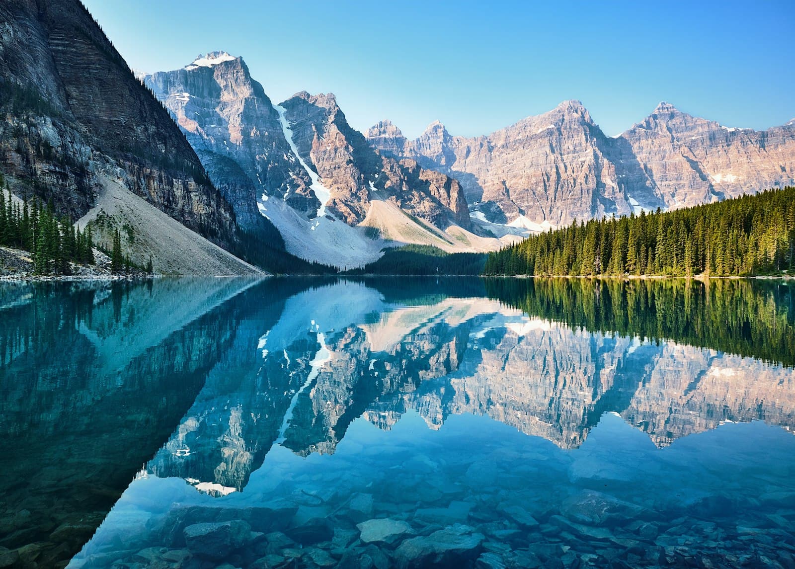
The Town That Isn't Allowed to Grow
Banff looks like an ordinary mountain resort town, but you must legally prove you need to live here, the land is leased not owned, and the boundary and population are frozen by federal law. Is it a town, or a very convincing exhibit of one?
4.45|87 minutes|4.2 km|8 Stops
Start
North Banff Avenue: The Cascade Axis
1
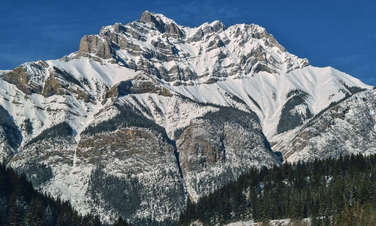
North Banff Avenue: The Cascade Axis
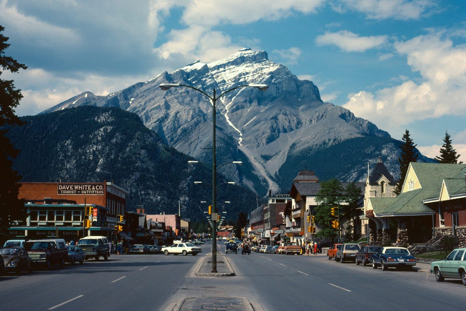
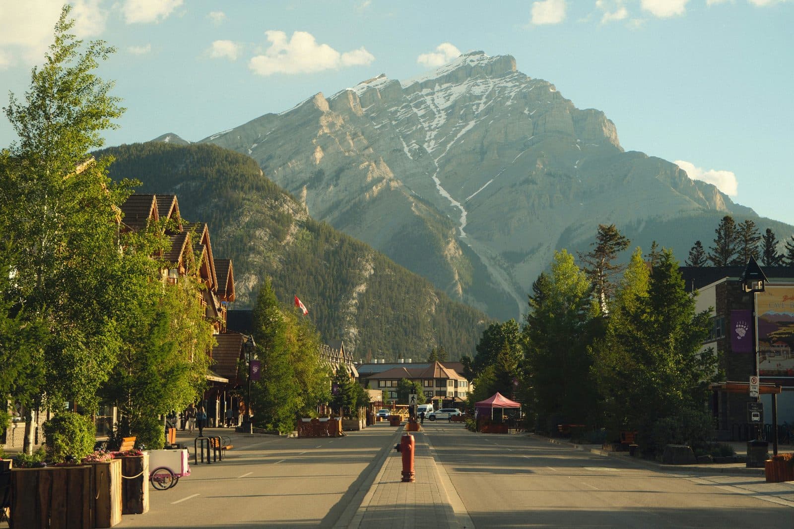
The postcard top of Banff Avenue, Cascade Mountain closing the view, and the rule you would have to meet to live on this street.
2
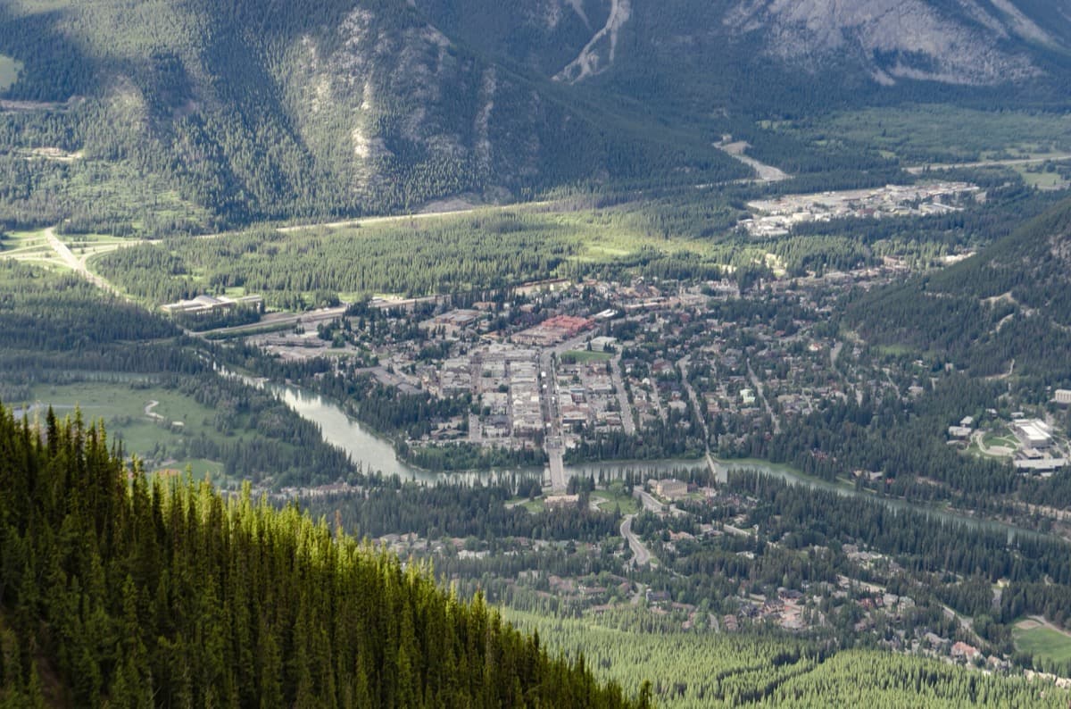
Banff Avenue: A National Park's Shopping Street
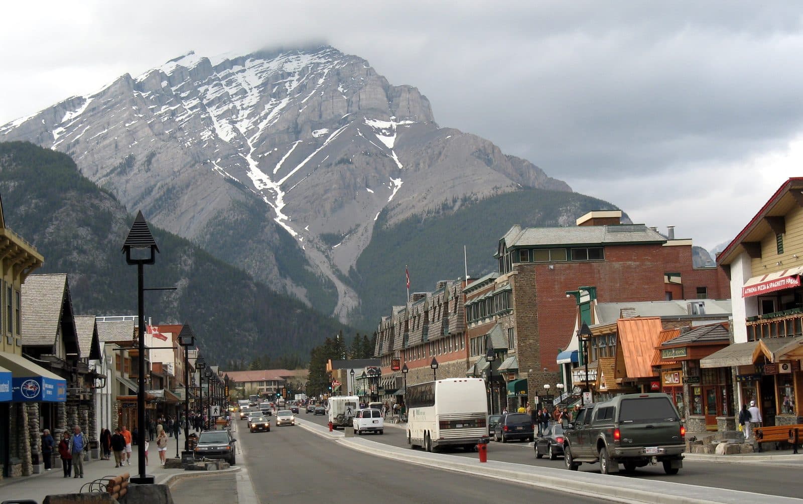
The main shopping street of the Rockies, built on leased federal land with its commercial floor space capped.
3
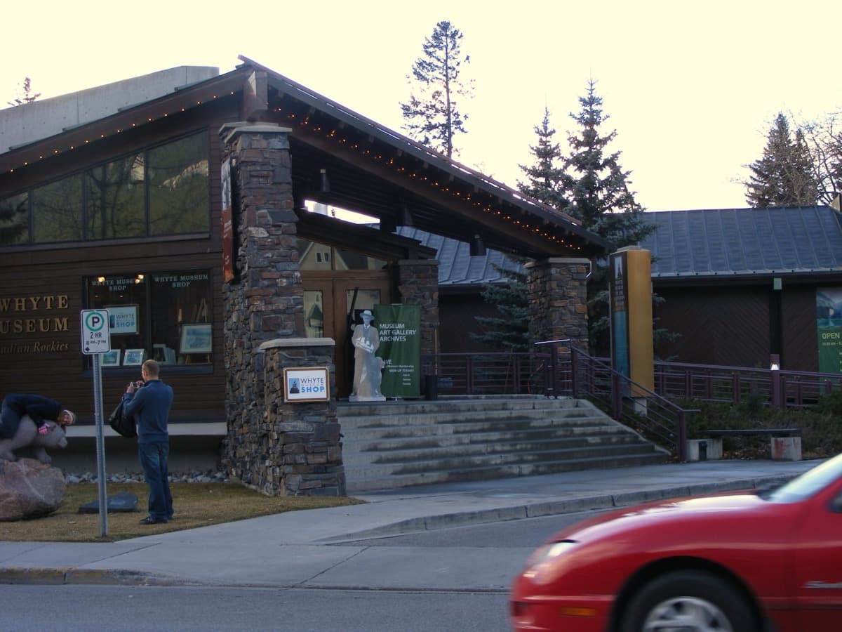
Whyte Museum of the Canadian Rockies
The town's memory of itself, founded by Banff artists Peter and Catharine Whyte, in a place that now legislates who may live in it.

4
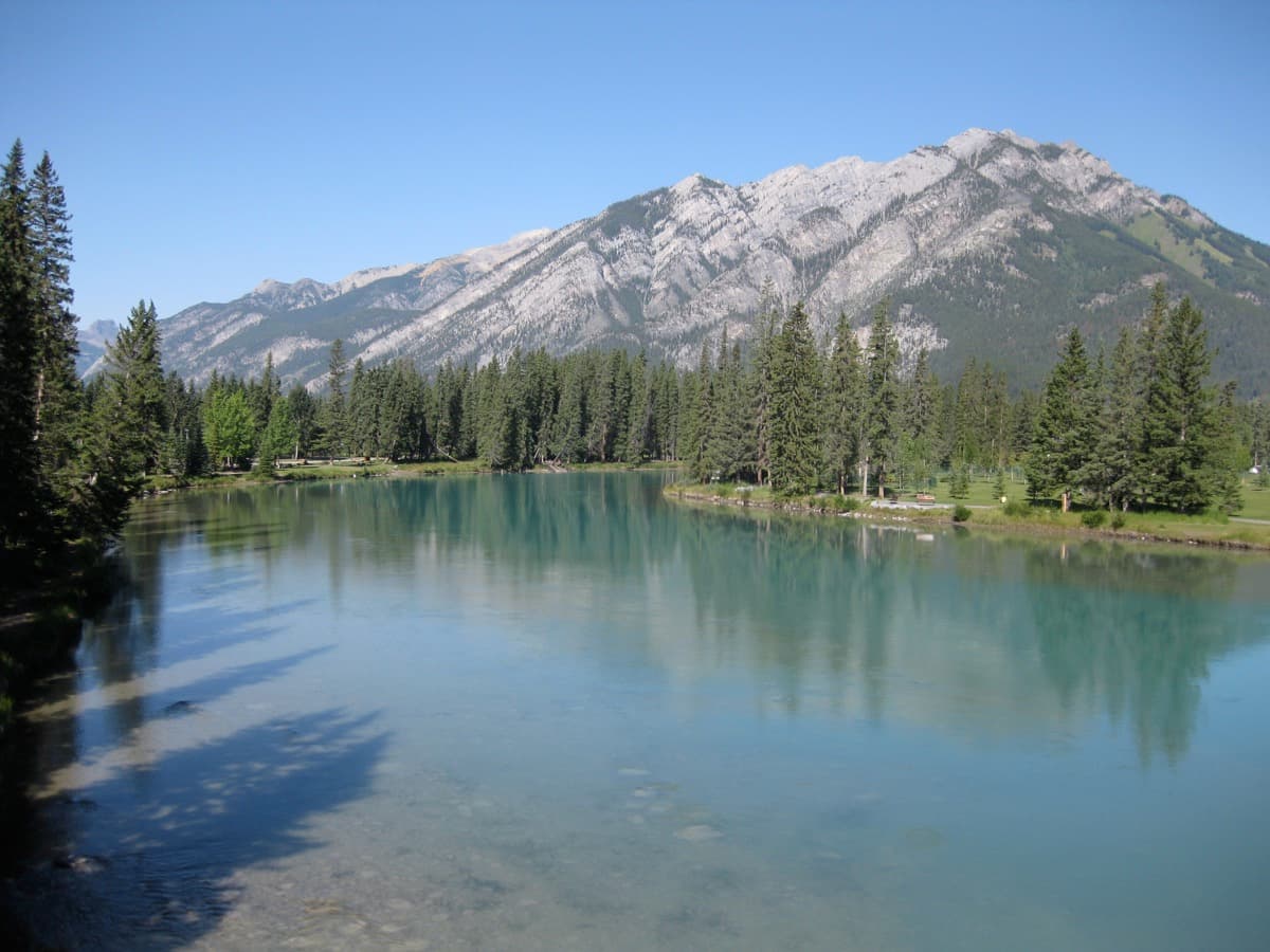
Central Park on the Bow
A riverside green full of picnics and children, and the federal population ceiling the town is already leaning against.
5
Nancy Pauw Bridge: The Frozen Edge
A brand new footbridge inside a boundary frozen by law at 3.93 square kilometres.
6
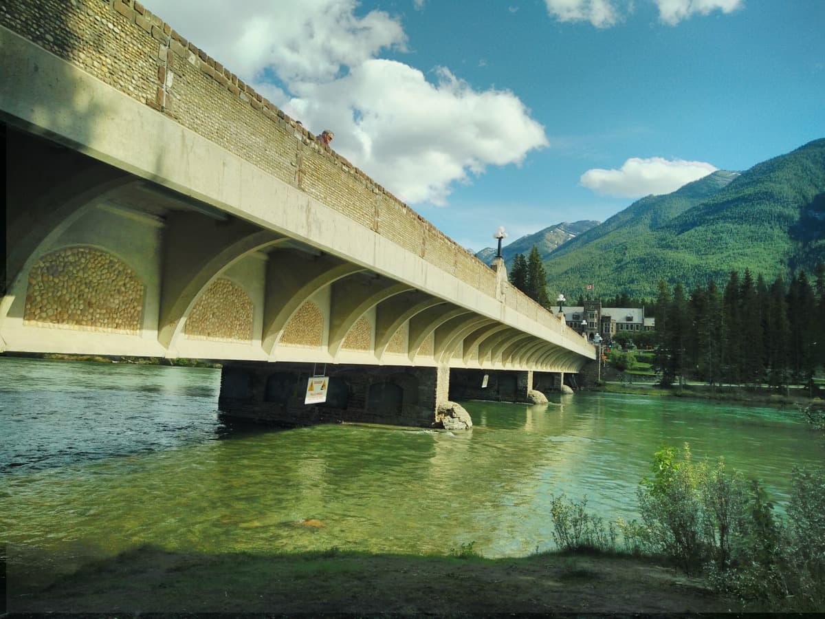
The Bow River Bridge
A much loved 1920s bridge that turns out to be a designed set piece from a planned townsite.
7
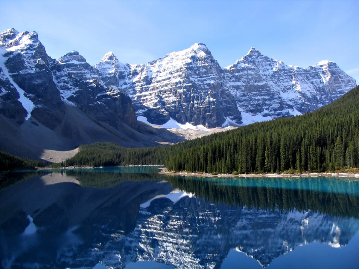
Park Administration Building & Cascade of Time Gardens
The reveal: the federal administration building at the head of Banff Avenue, with the town arranged below it like grounds.
8
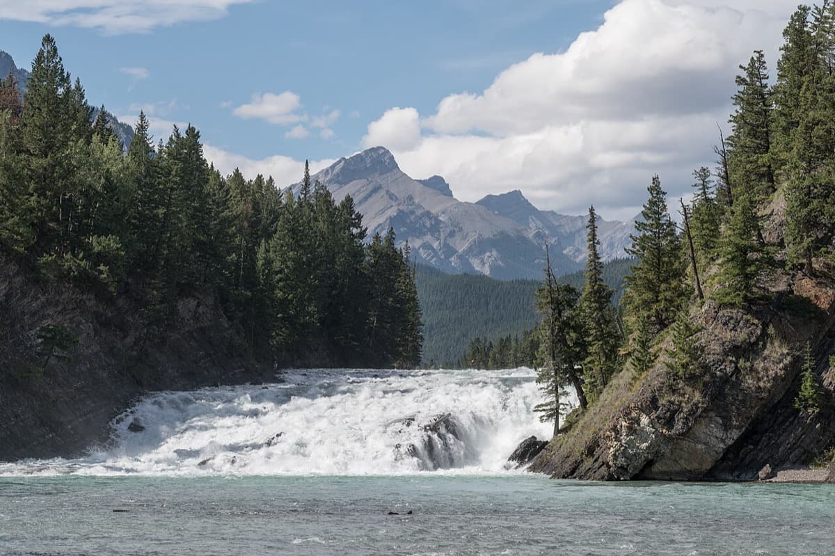
Bow Falls: Where the Town Stops
Where the town visibly stops against rock and river, and the question refuses to resolve.
Best Time to Visit
Late spring through early autumn, in the morning. Banff Avenue is busiest at midday in July and August, when the sidewalks fill and the Cascade Mountain view up the street competes with tour buses. An early start gives you the postcard axis in soft light and a quieter shopping core. The riverside stops at Central Park, the Nancy Pauw Bridge, and Bow Falls are loveliest in daylight, and the Cascade of Time Gardens are in flower from June into September. Winter walking is possible and beautiful, but paths near Bow Falls can be icy and the light is short, so plan a midday window if you visit between November and March.
Pro Tips
- •The Cascade Mountain sightline up Banff Avenue reads best from the north end of the street in the morning, before the midday crowds and buses. Stand near the top of the avenue for the full postcard axis the tour opens on.
- •This is a real national park, not a themed one. Keep a respectful distance from elk, which are common along the river and in Central Park, especially in spring and autumn. Never get between an elk and its calf.
- •The Cascade of Time Gardens at Stop 7 are a public garden below the Park Administration Building. They are freely open in daylight and are at their best from June through September. The stop works from the terraces without going inside any building.
- •The whole route is paved or hard-surfaced and mostly flat, but the final approach to Bow Falls involves a gentle descent toward the river. Flat, closed shoes are enough. Allow a few extra minutes for the last stretch out to the falls.
- •The tour is written to be walked in order, north to south, from the top of Banff Avenue down to Bow Falls. The two research anchors, the frozen boundary and the population ceiling, land hardest at Stops 4 and 5, so do not skip the riverside middle.
Safety & Precautions
- Banff is inside an active national park with resident wildlife. Elk, deer, and occasionally bears use the same riverbanks and trails as visitors. Keep your distance, do not feed anything, and give animals a wide, calm berth.
- Banff Avenue carries real vehicle traffic, and the crossings at Caribou, Buffalo, and the Bow River Bridge approach get busy. Cross at marked crossings and watch for turning vehicles and cyclists.
- The riverside paths near the Nancy Pauw Bridge and Bow Falls can be wet, uneven, or icy depending on the season. Wear flat, closed shoes and take the descent to the falls slowly.
- Mountain weather changes quickly and the elevation is roughly fourteen hundred metres, so afternoons can turn cold or wet without much warning. Carry a layer and water, and walk the outdoor stops in daylight.
Gallery
Related Reading
Go deeper on what you'll see, hear, and walk through.
Overview
Banff Travel Guide: How Many Days, Getting Around, the Park Pass, When to Go (2026)
6 min
Overview
Best Self-Guided Walking Tours in Banff (2026)
4 min
Overview
One Day in Banff: A Walkable National-Park Town Itinerary (2026)
5 min
Thematic
The Town That Lives Inside a Park: How Banff Was Reserved Before It Was Founded
6 min
Thematic
What to Eat in Banff: A Rocky Mountain Food Guide (2026)
4 min
Companion
A National Park's Shopping Street: Walking the Town That Can't Grow
4 min